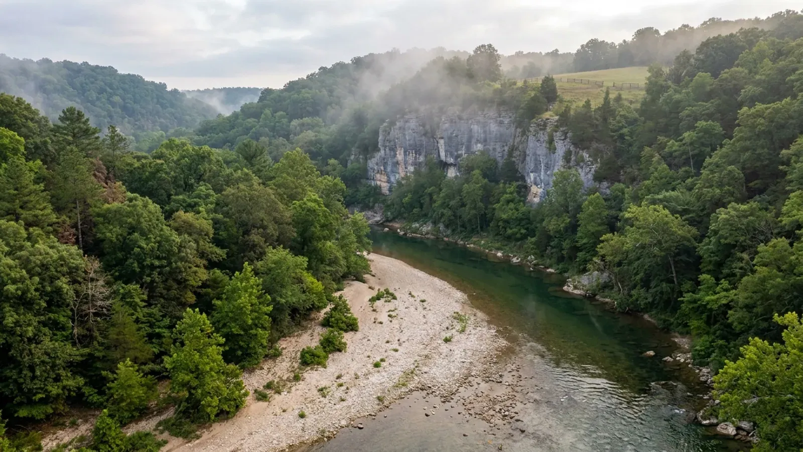
Barndominium Builders in Pulaski County, MO
Pulaski County is the most populous third-classification county in Missouri — 53,964 residents on 547.112 square miles — and that classification settles the first question a buyer asks. RSMo 64.170 empowers only counties of the first and second classification to control construction and issue building permits, and RSMo 64.205 repeats the limit in one sentence, so there is no county building code here and no county commission vote could create one. Only a change in the county's assessed valuation, which is what sets classification under RSMo 48.020, could. The county's own list of offices carries an assessor, a clerk, a collector, three commissioners, a coroner, a prosecuting attorney, a public administrator, a recorder, a sheriff, a surveyor, a treasurer, the courts and emergency management — and no building department, no planning and zoning office and no permits counter. What it does have is Fort Leonard Wood: a 67,180-acre Army installation whose boundary reaches into four counties, sitting in the middle of the third of the county that is unincorporated. Two cities inside the county run real building departments on the 2006 International Residential Code, four miles apart, and only one of them publishes the design figures that go with it. The septic permit is the gate on unincorporated land, and Pulaski is one of the counties where the Department of Health and Senior Services runs that programme itself rather than delegating it to a county ordinance — which is why the three-acre exclusion in RSMo 701.031 still means here exactly what the statute says it means.
Pulaski County at a glance
- County
- Pulaski County
- Cities & counties covered
- Pulaski County 53,964 · Unincorporated balance of the county 39,283 · St. Robert 5,511 · Waynesville 5,493 · Richland (Pulaski County portion) 1,547 · Dixon 1,215 · Crocker 915
- Site visits
- First site visits anywhere in the county's 547 square miles, usually within the week
Building conditions in Pulaski County
Missouri sets no residential building code and no statewide way of adopting one, so the first question on any parcel is not what the code says — it is whether there is one. Only counties of the first and second classification may adopt a building code at all, and classification is set by assessed valuation rather than population, so a small county can hold the power while a much larger one does not. Zoning is a separate power with its own answer, granted only after a vote of the people and repealable by another. What changes from one jurisdiction to the next is whether the work is inspected, who issues the permit, what that office charges, how the parcel is zoned, and the design figures your drawings have to satisfy.
RSMo 64.170 (effective 28 Aug 2008) and RSMo 64.205 (effective 28 Aug 1963), rendered from revisor.mo.gov/main/OneSection.aspx and read in full 8 Sep 2026 — on that host a deliberately bogus section redirects to /Main/nofish.aspx and carries no "Effective - <date>" line, while every real section returned the Title, Chapter, Effective line and catchline; Missouri Association of Counties, "Missouri Counties by Classification", published May 2025, mocounties.com/s/Missouri-Counties-by-Classification-2025.pdf, downloaded and text-extracted 8 Sep 2026; RSMo 48.020 (effective 28 Aug 2026); Missouri Department of Economic Development, "County Building Codes for Missouri", data.mo.gov dataset iq7s-izvt, FIPS 169 row queried 8 Sep 2026 (dataset last updated 11 Aug 2021, so it is cited for whether a code exists and never for an edition year); Pulaski County, offices index, pulaskicountymo.org, read 8 Sep 2026 (a bogus path on that host returns a genuine HTTP 404)
U.S. Census Bureau TIGERweb Special Land Use Areas, Military Installations layer, Fort Leonard Wood polygon (AREALAND 271,869,598 m²; the same polygon queried against the TIGERweb county layer returns Pulaski, Laclede, Texas County and Phelps), queried 8 Sep 2026 — a bogus installation name on the same layer returns zero features; City of Waynesville Municipal Code Article 405-XIII-A, § 405.667, adopted by Ordinance 2128 on 19 February 2015, read in full from the city's codified text at waynesville.municipalcodeonline.com 8 Sep 2026 and re-read from an independent second fetch of the same codified book, which carries ordinances through 22 May 2025; City of St. Robert code, ecode360.com/ST3439, phrase search for "Fort Leonard Wood" run 8 Sep 2026 returning only Chapter 605 Taxicabs, against a bogus-term control on the same index
Missouri Department of Health and Senior Services, OWTS Construction Permit Process, health.mo.gov/business-professionals/onsite-wastewater-treatment/owts-construction-permit-process?county=Pulaski, server-rendered HTML fetched and read 8 Sep 2026 and re-read from an independent second fetch — the method was validated first against ?county=Camden, which returns Camden County Wastewater Dept., authority type Ordinance, and against a bogus county value, which renders no authority block at all; RSMo 701.031 (effective 28 Aug 2005) and RSMo 701.047, rendered from revisor.mo.gov 8 Sep 2026 with the Effective line and catchline present. The department also states that application fees are temporarily suspended following the 28 August 2026 change to RSMo 701.046, so no septic permit fee is quoted here.
OpenFEMA NfipCommunityStatusBook API, filtered on state MO and county PULASKI COUNTY, queried 8 Sep 2026 (dataset lastRefresh 25 Aug 2026) — the same filter with a bogus county value returns zero rows, and the equivalent HTML report at fema.gov/cis is not used; Missouri State Emergency Management Agency county contact page, sema.dps.mo.gov/county/search.php?id=169, read 8 Sep 2026 and re-read independently, against a bogus id which renders the same page with an empty county name and empty contact lists; City of Waynesville Municipal Code Chapter 425 (Floodplain Management), § 425 applicability provision naming the FIRM panels, read from the city's codified text 8 Sep 2026
City of St. Robert code, ecode360.com/ST3439 — Chapter 414 §§ 414.001–414.007 and Chapter 412 §§ 412.003 and 412.009, all adopted by Ordinance 2118 §§ 1—3 on 18 August 2008; phrase searches for "corrugated", "sheet metal" and "exterior" run against the same code index 8 Sep 2026, validated against a bogus-term control that returns the identical empty layout; the code states it includes legislation through 3 February 2026. A bogus code identifier on ecode360 returns an honest HTTP 404 titled "eCode360 Error", and the pages served here carried the title "…- City of St. Robert, MO" captured in the same read as the text. City of Waynesville Municipal Code §§ 405.160, 405.325, 405.326 and 405.690 (Ordinance 710, 15 November 1990; Ordinance 2277, 21 September 2017), read from the city's codified text 8 Sep 2026
City of St. Robert code Chapter 507 § 507.010 and § 507.020, and Chapter 500 § 500.010, ecode360.com/ST3439, read 8 Sep 2026; Table R301.2(1) from "507 Attachment 1 — City of St. Robert — EXHIBIT B", ecode360.com/attachment/329119, PDF downloaded and text-extracted 8 Sep 2026 and re-downloaded to a byte-identical copy, the document itself carrying the ordinance citations and the codifier's supplement marker Supp. #20, 3/14; City of Waynesville Municipal Code § 500.010, adopted by Ordinance 1158 §§ 1—15 on 20 January 2005 and amended by Ordinance 1239 §§ 1—15 on 20 April 2006 and Ordinance 1252 §§ 1—15 on 18 May 2006, read from the city's codified text 8 Sep 2026 and re-read from an independent second fetch
Also worth knowing before you build in Pulaski County
- The fire-district question, asked by name
- Building-code authority in Missouri is not only a county matter. RSMo 321.220(12) lets a fire protection district board adopt ordinances whose administrative standards are "industrial codes adopted by nationally organized and recognized trade bodies", and makes a violation a misdemeanor prosecuted by the county prosecutor — and classification has nothing to do with it. But RSMo 321.228, effective 28 August 2012, cuts that off wherever a city, town, village or county "adopts or has adopted, implements, and enforces a residential construction regulatory system": inside such a jurisdiction, districts wholly or partly within it are "without power, authority, or privilege to enforce or implement" one, and anything they have adopted "shall be treated as advisory only". So inside Waynesville and St. Robert, which plainly do both, the districts are preempted. They keep final say on fire hydrant location and specification, hydrant flow rates and fire lanes; they may inspect the alteration, enlargement, replacement or repair of a one- or two-family dwelling, though not new construction; and they may not charge a fee for either. Outside the cities, where the county regulates nothing, that door is open. The Waynesville Rural Fire Protection District has been asked by name: the only permit it publishes is a free open-burn permit for vegetative waste, obtainable by telephone or on a printed form, and its inspections page carries no adopted code. Note also that RSMo 321.220(12) bars a district from requiring a permit for the erection, maintenance, repair, alteration or extension of a farm building at all.
- The ground: chert and a fragipan, not shallow rock
- The reflex about Ozark counties is bedrock near the surface, and the soil survey does not support it here. Across the 352,883 acres of survey area MO169, lithic and paralithic bedrock is mapped within 51 centimetres — about twenty inches — on 4,419 component-weighted acres, roughly 1.3 per cent, and within 102 centimetres on 18,084 acres, about 5 per cent. What actually governs a footing here is different. A fragipan is mapped on 84,298 component-weighted acres, close to a quarter of the survey, at depths between 41 and 97 centimetres — 16 to 38 inches — which is the band a 24-inch footing lands in; the Union soils carry theirs at 76 centimetres and the Viraton soils at 53. The dominant component is Clarksville at 73,818 component-weighted acres, with chert fragments running from nothing to 58 per cent by volume through its horizons, and the single largest map unit in the county is Clarksville-Gepp complex, 15 to 35 per cent slopes, stony, at 71,125 acres. Map units whose slope class begins at 15 per cent cover 142,018 acres, about 40 per cent of the survey. Karst is real but modest: the Department of Natural Resources sinkhole layer returns 138 mapped sinkholes inside the county boundary, against 247 in Phelps next door and 1,471 in Greene.
- What the cities charge, and what the trades have to hold
- There is no statewide general-contractor licence in Missouri, so the answer is municipal and it differs city to city inside this county. St. Robert requires a city licence before anyone engages in construction, in twelve classifications beginning with General Contractors and running through electricians, plumbers, mechanical, concrete, roofing, masonry, asphalt, landscaping, remodeling, carpentry and fencing; the fee is $25 on first application and $5 to renew each January, and a subcontractor working under a licensed general contractor on that contractor's project does not need a separate licence. Waynesville licenses a General Contractor at $150 a year under its business-licence schedule and states that any subcontractor working for that business will be licensed through the city. On permits, Waynesville's codified fee schedule charges $0.10 per square foot for one- and two-family dwellings with a $150 minimum, measured on gross floor area inside the exterior walls and excluding unfinished basements and garages, plus $50 for a residential room addition, garage or retaining wall and $25 for a shed, deck, fence or gazebo; re-inspection of uncorrected work costs $25, and re-inspection of a dwelling occupied without approval costs $100. Dixon's 2024 general build permit application charges $100 for new construction, $25 for a garage, carport, shed, deck or remodel, and $250 each for a water tap and a sewer tap, and requires structures to stand at least 25 feet from the roadway and 10 feet from any side or boundary line. Waynesville also levies utility impact fees under § 615.025: $150 for a residential sanitary sewer connection inside the city, and $1,500 for a customer outside the city limits plus any applicable Pulaski County Sewer District fees.
- Where the land is, and how much of it there is
- The 2022 Census of Agriculture counts 423 farms in Pulaski County across 117,115 acres, at an average of 277 acres, and splits that land into 39,965 acres of pastureland, 33,586 of woodland, 22,741 of cropland and 20,823 of other uses. Against the county's 547.112 square miles of land area, that is a county where farm ground is real but not dominant, which is the practical signature of a place with a 67,180-acre federal installation and a mostly wooded, sloping remainder. The population is unusually concentrated outside the incorporated places: 39,283 of the county's 53,964 residents live in the unincorporated balance, against 5,511 in St. Robert, 5,493 in Waynesville, 1,547 in the Pulaski County portion of Richland, 1,215 in Dixon and 915 in Crocker. Richland is a three-county town — 1,547 of its 1,729 residents are in Pulaski, 106 in Camden and 76 in Laclede — so a Richland address does not by itself tell you which county's rules apply. The regional planning commission names Buckhorn, Devil's Elbow, Hayden, Laquey and Swedeborg as the county's unincorporated communities, and those are the places where a barndominium is being built outside anybody's zoning map.
- Waynesville's A-1 district is where an acre still buys a house
- Inside the city limits, Waynesville's A-1 Agricultural District permits single-family dwellings on a minimum of one acre of ground even where they are "not connected to agricultural operations", alongside farming, pasturing of livestock other than hogs and swine, roadside stands for produce grown on the premises, and accessory buildings customarily incidental to those uses including repair shops, sheds, garages, barns and silos. The area regulations are a 43,560-square-foot minimum lot, a 150-foot minimum lot width, 50-foot front and rear yards and 15-foot side yards, with buildings held to two and a half storeys or 35 feet above average finished grade. Those are the numbers that apply to a house-and-shop build on the agricultural edge of the county's largest city, and they are noticeably more generous on lot size and noticeably tighter on setbacks than the R-1 district's 7,500-square-foot minimum and 8-foot side yards.
RSMo 321.228 (effective 28 Aug 2012) and RSMo 321.220 (effective 28 Aug 2025), both rendered from revisor.mo.gov and read in full 8 Sep 2026, each carrying the Title XXI / Chapter 321 heading and an Effective line that the host's bogus-section interstitial does not; Waynesville Rural Fire Protection District, wrfpdmo.org permit and inspections pages, read 8 Sep 2026 (a bogus path on that host returns an honest HTTP 404 titled "File Not Found"); Pulaski County NG9-1-1, Other Agency Sites index, pulaskimo911.org, read 8 Sep 2026, which lists the Waynesville Rural, Crocker Rural, Dixon Rural, Tri-County and Hazelgreen fire protection districts along with the St. Robert and Fort Leonard Wood fire departments
USDA-NRCS Soil Data Access, sdmdataaccess.nrcs.usda.gov Tabular REST endpoint, survey area MO169 (Pulaski County, Missouri — the legend table also returns Pulaski survey areas in six other states, and only MO169 is this county), queried 8 Sep 2026; depth values come from corestrictions.resdept_r, which is recorded in CENTIMETRES, converted here at 51 cm ≈ 20 in and 102 cm ≈ 40 in, with restricted acres computed as mapunit.muacres × component.comppct_r ÷ 100 against the survey's total mapped acres. A bogus area symbol returns an empty table on that host and an invalid column name returns an explicit ServiceException. Missouri Department of Natural Resources sinkhole layer, gis.dnr.mo.gov/host/rest/services/geology/sinkholes/MapServer layer 1, intersected with the U.S. Census TIGERweb county polygon for GEOID 29169, queried 8 Sep 2026: statewide control 16,001 points, matching the department's published figure of approximately 16,000, with Greene 1,471 and Camden 91 reproducing recorded values exactly and a deliberately impossible object id returning zero.
City of St. Robert code Chapter 505 §§ 505.010–505.090, Ordinance 667 §§ 1—9 of 5 April 1999, ecode360.com/ST3439, read 8 Sep 2026; City of Waynesville Municipal Code § 500.020 Building Permit Fee Schedule, § 615.025 Impact Fees for New Utility Service, and § 700.090 License Fees (Ordinance 2440, 15 October 2020), read from the city's codified text 8 Sep 2026; City of Dixon Public Works Department, General Build Permit Application 2024, PDF downloaded from dixonmo.gov and text-extracted 8 Sep 2026 (a bogus path on that host returns HTTP 404)
USDA National Agricultural Statistics Service, 2022 Census of Agriculture county profile for Pulaski County, Missouri, nass.usda.gov cp29169.pdf, downloaded and text-extracted 8 Sep 2026 — a nonexistent county number returns the same 196-byte HTTP 404 on that host; U.S. Census Bureau Vintage 2024 population estimates, co-est2024-alldata.csv and sub-est2024.csv, downloaded from www2.census.gov 8 Sep 2026; U.S. Census Bureau 2024 Gazetteer counties file for land area and the county internal point; Meramec Regional Planning Commission county page, meramecregion.org, read 8 Sep 2026 (a bogus path on that host returns an honest branded 404)
City of Waynesville Municipal Code Article 405-II, §§ 405.120, 405.130 and 405.140, and Article 405-III, §§ 405.150–405.170, adopted by Ordinance 710 on 15 November 1990 with § 405.160 amended by Ordinance 1264 § 1 on 17 August 2006, read from the city's codified text at waynesville.municipalcodeonline.com 8 Sep 2026 (on that host a nonexistent book type returns an explicit "This book or node does not or no longer exists" error and a bogus path returns an honest 404)
The expensive surprises are in the ground, not the building
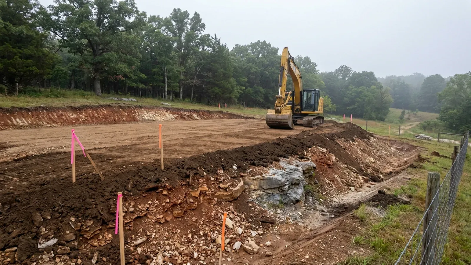
What moves a Missouri budget is usually below grade, and which problem you have depends on where in the state you are. Across the Ozarks it is karst: the Department of Natural Resources maps more than sixteen thousand sinkhole points, and what matters there is what is under the slab rather than what the slab sits in. Across the north and centre it is claypan — dense, slow-draining subsoil that perches water above it for months of the year. In the Bootheel it is deep alluvium carrying the highest seismic demand in the state, where the same soils modelled for liquefaction attack post embedment and slab bearing rather than the frame above them. The same ground then decides the septic system, and Missouri does not run that on a percolation test alone: the rule allows a perc test or a soil morphology examination in a profile pit, and the authority reviewing your parcel picks which. Where a drainfield sits near a sinkhole's drainage, perc testing on its own is not permitted at all. Whether that authority is the state or your own county is itself a local question, and it changes what you have to file. So the site work, the foundation and the drainfield get resolved together rather than one at a time. We price the dirt before we price the building.
What we build in Pulaski County
All nine services are available in Pulaski County. What a build costs depends far more on the parcel than on square footage, so we price against your land rather than publishing a rate card.
Custom Plans
Barndominium floor plans drawn to your parcel and your soil, and to whichever Missouri authority — a county, a city, or none at all — will review them.
Barndominium Kits
Barndominium shell packages delivered to your Missouri land, drawn to the criteria your own county or city publishes — because the state publishes none.
Turnkey Builds
Start to finish barndominium construction in Missouri: the permits that genuinely apply, site work, shell and interior finish, under one contract.
What a build looks like
Three stages every Pulaski County project passes through, from a raw parcel to a finished home. Site work first, because that is where the budget is decided.
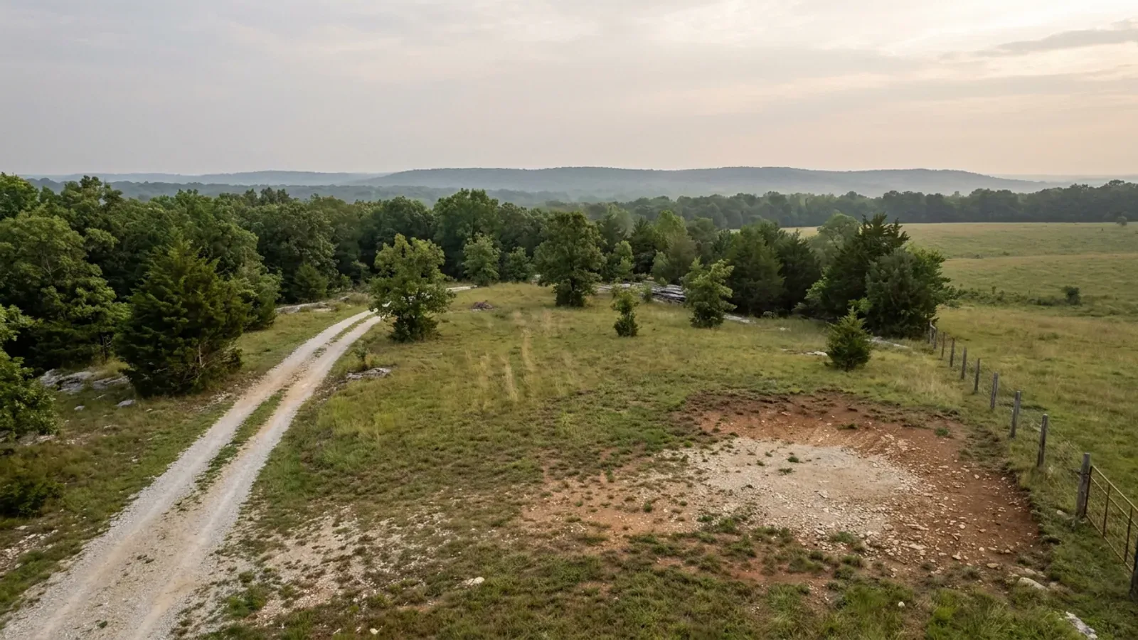
The parcel
Zoning, setbacks, flood zone and utility access get checked before anything is drawn.
Pad and permit
Clearing, grading and a compacted pad, while the submittal works through whichever office issues the permit where you are building.
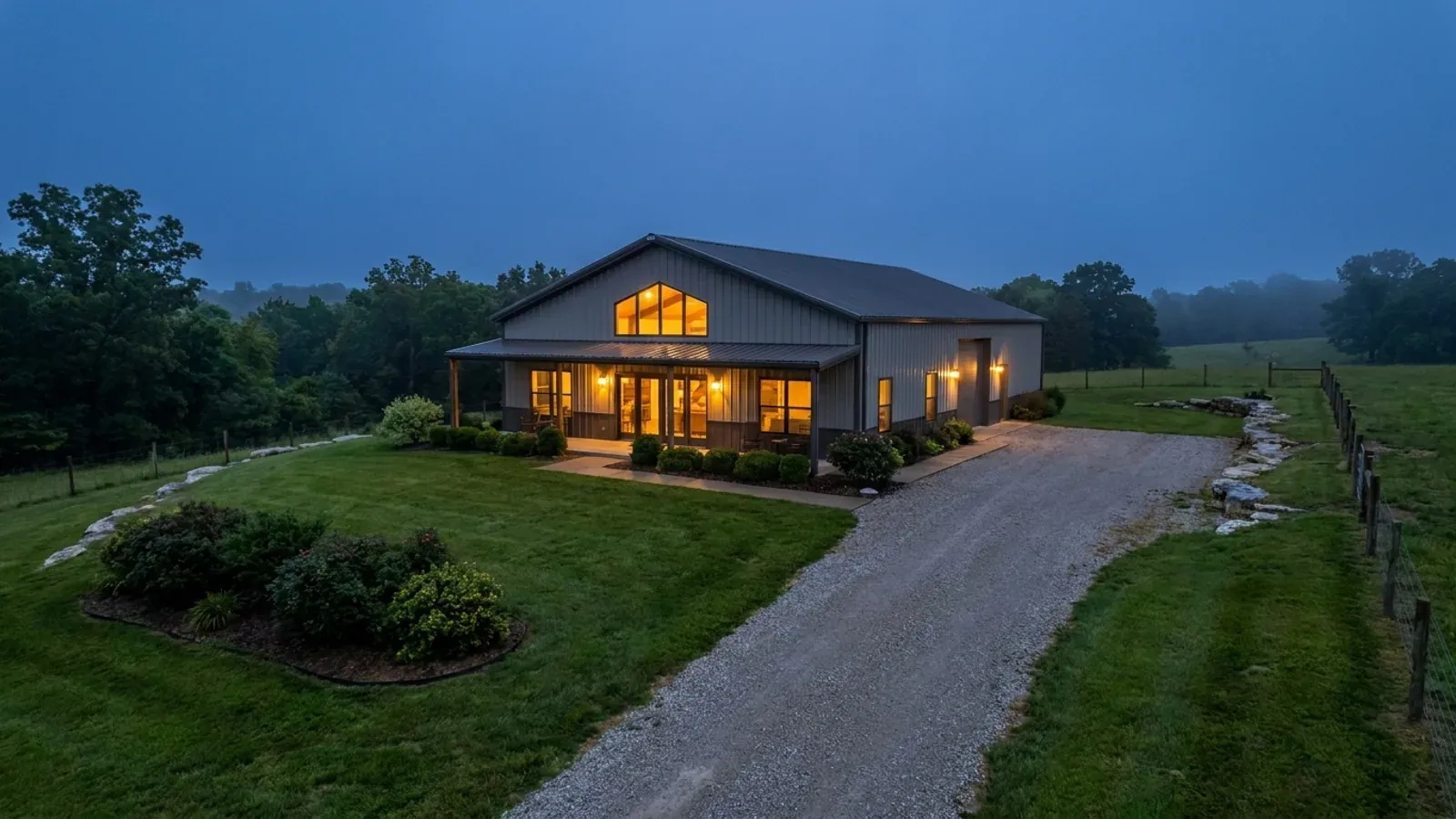
Frame to finish
Shell erected and dried in, then systems, insulation and interior finish through to CO.
Those are the rules where you are building in Pulaski County. Tell us what you want to build and we will draw it to them.
Where we build around Pulaski County
Pulaski County and the rural land around it. The buildable acreage for a project this size usually sits outside the city limits, which is frequently what changes who issues your permit.
Keep reading
The questions that usually come next once you know what Pulaski County allows.
Barndominium Cost Guide
Sourced per-square-foot ranges by tier and by size, with a calculator built on the same figures.
Read itIs It Legal in Missouri?
Classification, zoning, the HOA gate, and why "nonresidential farm building" does not cover a home.
Read itHow Long Does It Take?
Census build-duration data, and what actually sets the permit clock where you are building.
Read itNearby areas we build in
Others we cover nearby, and they are not interchangeable. One may be a county with an adopted building code, another a county with no legal authority to have one, another a city that permits inside its own limits whichever county the land sits in. So the office that issues the permit, whether anyone inspects the work at all, the fees, the zoning and the design figures can differ from one card to the next — sometimes across a single property line.
Building in Pulaski County: common questions
8 questions we get asked most often about building in Pulaski County. If yours is not on the list, ask it directly.
Do I need a building permit to build a barndominium on land outside the cities in Pulaski County?
Is my land inside the city limits or not, and how much difference does it make?
My land is more than three acres. Does that really mean no septic permit?
Does Fort Leonard Wood restrict what I can build near it?
What design figures should the structure be built to if nobody in the county publishes any?
Could a fire protection district make me pull a permit even though the county cannot?
Will a metal exterior or a shop bigger than the house be a problem here?
How deep are the footings likely to go, and is this sinkhole country?
Building in Pulaski County?
Start with the plan. Tell us what you want to build and we will draw it, then confirm which office issues the permit for your parcel, what it will let you put there, and what wind load it has to meet. That conversation costs nothing.