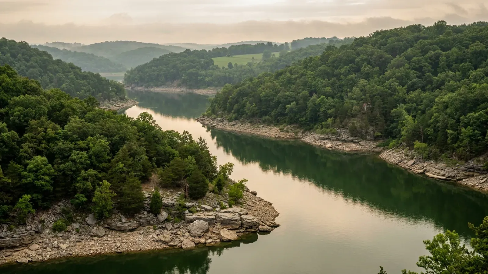
Barndominium Builders in Miller County, MO
Miller County covers 592.573 square miles between the Osage River and the Big Piney, carries 242,451 acres in farms across 874 farms at a 277-acre average, and holds 25,668 people — 16,817 of them in the unincorporated balance that no county building official has ever inspected. It is a third-classification county, and that single word answers the question buyers ask first: RSMo 64.170 empowers only counties of the first and second classification to control construction and issue building permits, and RSMo 64.205 says those sections apply to first- and second-class counties. So there is no county building code here and the county commission has no legal power to create one. What makes this county genuinely unusual is what fills that space. Osage Beach and Lake Ozark both straddle the county line into first-classification Camden County, and each city permits across the whole of itself under RSMo 89.020 without regard to which county a parcel sits in — Osage Beach on the 2024 International Residential Code, Lake Ozark on the 2012 edition, with different numbers in each city's own Table R301.2(1). Outside those limits the Lake Ozark Fire Protection District publishes the building codes it has adopted by its own ordinances under Chapter 321 and issues residential building permits, in a county that cannot lawfully adopt a code of its own. And the septic answer flips at the county line too: the Department of Health and Senior Services runs the on-site wastewater programme here directly, while Camden County next door permits under its own ordinance through its own wastewater department.
Miller County at a glance
- County
- Miller County
- Population
- 25,668
- ZIP codes
- 65017, 65026, 65032, 65040, 65047, 65049, 65058, 65064, 65065, 65075, 65082, 65083, 65459, 65486
- Site visits
- First site visits anywhere across the county's 592 square miles, usually within the week
Building conditions in Miller County
Missouri sets no residential building code and no statewide way of adopting one, so the first question on any parcel is not what the code says — it is whether there is one. Only counties of the first and second classification may adopt a building code at all, and classification is set by assessed valuation rather than population, so a small county can hold the power while a much larger one does not. Zoning is a separate power with its own answer, granted only after a vote of the people and repealable by another. What changes from one jurisdiction to the next is whether the work is inspected, who issues the permit, what that office charges, how the parcel is zoned, and the design figures your drawings have to satisfy.
RSMo 64.170 (effective 28 Aug 2008) and RSMo 64.205 (effective 28 Aug 1963), and RSMo 48.020 (effective 28 Aug 2026), as rendered from revisor.mo.gov and quoted in research/statewide/code-regime.md §3a–3d, 5 Sep 2026; Missouri Association of Counties, "Missouri Counties by Classification", published May 2025, mocounties.com/s/Missouri-Counties-by-Classification-2025.pdf, downloaded and text-extracted 8 Sep 2026 (a bogus path on that host returns a branded PAGE NOT FOUND); Miller County, Missouri, Government page, millercountymo.gov/government/index.php, read 8 Sep 2026 (a bogus path on that host returns HTTP 200 with a title reading "404. The page/URL requested wasn't found", so the body is the test and not the status code); Missouri Department of Economic Development, "County Building Codes for Missouri", data.mo.gov dataset iq7s-izvt, FIPS 131 row queried 8 Sep 2026 (dataset last updated 11 Aug 2021)
RSMo 321.220(12) (effective 28 Aug 2025) and the Revisor's annotation citing Wellston Fire Protection Dist. v. State Bank & Trust Co., 282 S.W.2d 171 (1955), as rendered and recorded in research/statewide/code-regime.md, 6 Sep 2026; Lake Ozark Fire Protection District, Business Resources page (Permits, Codes and Ordinances), lofpd.com/business-resources, read 8 Sep 2026 (a bogus path on that host returns a genuine HTTP 404); Lake Ozark Fire Protection District, "Building Permit submittal requirements for all Single and Two-Family Residential projects", PDF linked from that page, downloaded and text-extracted 8 Sep 2026
U.S. Census Bureau, Vintage 2024 Subcounty Population Estimates, sub-est2024_29.csv, SUMLEV 157 place-part records for counties 131 and 029, downloaded from www2.census.gov 8 Sep 2026 (a bogus filename on that host returns a Census "Page not found"); Osage Beach City Code § 100.040, Definitions And General Rules Of Construction (R.O. 2009 § 100.040; Code 1975 §§ 11.010, 12.010; CC 1985 § 1-2), ecode360.com/27733981, served page read 8 Sep 2026 with the document title confirmed as "Article II: General Code Provisions - City of Osage Beach, MO"; Missouri Association of Counties, "Missouri Counties by Classification", May 2025; RSMo 89.020 as recorded in research/statewide/code-regime.md §4f; FEMA OpenFEMA NfipCommunityStatusBook, community IDs 290671 and 290698, queried 8 Sep 2026 (a bogus county value on the same endpoint returns zero records)
Missouri Department of Health and Senior Services, OWTS Construction Permit Process, county selector set to Miller and separately to Camden, health.mo.gov/business-professionals/onsite-wastewater-treatment/owts-construction-permit-process, served HTML read 8 Sep 2026 — a bogus county value returns no agency block at all, and the same query for a county whose authority type is independently known returned that county's own health department and "Ordinance", validating the method; RSMo 701.031 (effective 28 Aug 2005) and RSMo 701.047, rendered from revisor.mo.gov and quoted in research/statewide/code-regime.md §7a-i, 5 Sep 2026; Ameren Missouri, Shoreline Management page, ameren.com/property/lake-of-the-ozarks/shoreline, read 8 Sep 2026 (a bogus path on that host returns a genuine HTTP 404)
City of Lake Ozark Code § 405.100 "R-1" Residential — Low-Density District, subsection E, Architectural Design Standards (R.O. 1994 § 405.100; Ord. No. 94-8 Art. 4 § 1, 10 May 1994; Ord. No. 2002-14 § 1, 25 Jun 2002; Ord. No. 2003-18 § 1, 13 May 2003; Ord. No. 2011-10, 24 May 2011; Ord. No. 2013-35, 26 Nov 2013), ecode360.com/28169951, served page read 8 Sep 2026 and re-read independently the same day, document title confirmed both times as "Article IV: District Regulations - City of Lake Ozark, MO"; City of Osage Beach Code §§ 405.140 and 405.150 (Ord. No. 20.72, 19 Nov 2020), ecode360.com/27737376, title confirmed as "ARTICLE III: Zoning Districts — Use and Regulations - City of Osage Beach, MO", read 8 Sep 2026 — a bogus numeric id on that host returns HTTP 404 with the title "eCode360 Error"
City of Osage Beach Code §§ 500.035 and 500.037 (Ord. No. 13.88 §§ 1–2, 19 Dec 2013; Ord. No. 16.18 § 1, 19 May 2016; Ord. No. 21.23, 20 May 2021; Ord. No. 26.35, 16 Apr 2026), ecode360.com/27738966, served page read 8 Sep 2026 and re-read independently the same day, document title confirmed both times as "Article I: Building Code - City of Osage Beach, MO"; City of Lake Ozark Code § 500.020 (R.O. 1994 § 515.015; Ord. No. 2009-21, 12 May 2009; Ord. No. 2013-37, 26 Nov 2013), ecode360.com/33173072, title confirmed as "ARTICLE I: Building Codes - City of Lake Ozark, MO", read 8 Sep 2026; City of Eldon Code §§ 500.010 and 500.020 (Ord. No. 2013-53 § 1, 8 Oct 2013; Ord. No. 57-2022, 27 Sep 2022), ecode360.com/28571169, title confirmed as "Article I: Building Code Adoption - City of Eldon, MO", read 8 Sep 2026; Lake Ozark Fire Protection District, Business Resources page, lofpd.com/business-resources, read 8 Sep 2026
Also worth knowing before you build in Miller County
- Osage Beach regulates the shop-to-house ratio directly, by lot size
- A buyer who wants the shop half bigger than the house half is asking a question almost nobody publishes an answer to. Osage Beach publishes one. In its R-1a and R-1b Single-Family Districts, a dwelling on a lot of 10,000 square feet or less must dedicate at least sixty percent of the primary structure to defined living space; between 10,001 and 20,000 square feet, at least fifty percent; between 20,001 and 40,000 square feet, at least forty percent; and above 40,000 square feet — a shade under an acre — there is no regulated percentage at all, provided the structure can be defined as a dwelling under the building code the city has adopted at the time the permit is applied for. The same sections cap the primary structure at fifty percent of the lot area and cap detached accessory structures, named in the ordinance as including garages, shops, pole barns and storage facilities, at fifteen percent of the front and rear yards. Unincorporated Miller County has no equivalent, because it has no zoning ordinance in which to write one.
- Two thirds of the people here live where no county official inspects anything
- The Census Bureau's 2024 sub-county estimates split this county into ten pieces: Eldon 4,714, the Miller County part of Lake Ozark 2,133, Iberia 721, the Miller County part of Osage Beach 426, St. Elizabeth 426, Tuscumbia 191, Olean 121, Brumley 75, Bagnell 44 — and a balance of Miller County holding 16,817 residents, which is 65.5 percent of the county's 25,668 people. That balance is where the land is and where the county's want of authority actually bites. RSMo 64.180 also limits any county code that ever could exist to "the unincorporated territory of the county", and RSMo 89.020 empowers every city, town and village to regulate inside its own limits — so the two halves of this county's answer never overlap. A rural mailing address in a 65026 or 65082 ZIP tells you nothing about which side of a city line or a fire district boundary a parcel falls on. Check the parcel, not the envelope.
- Zoning is a separate power from a building code, and there is no sign of either here
- A third-classification county cannot have a building code, but it genuinely can have zoning. RSMo 64.510 lets the commission of any second- or third-class county provide for a county plan "after approval by vote of the people of the county", and RSMo 64.530 puts the question on the ballot as "Shall county zoning (or planning) be adopted?". Miller County's own Government and Services pages list a presiding commissioner and two district commissioners, a county clerk, recorder, assessor, collector, treasurer, prosecuting attorney, public administrator, circuit clerk, sheriff, surveyor and health center — and no planning commission, no board of zoning adjustment, no zoning administrator, no zoning ordinance and no zoning map. RSMo 64.660 requires any county that has adopted a zoning plan to appoint a board of zoning adjustment, so the absence of one is meaningful rather than decorative. Get the current position in writing from the county clerk before you make an offer, and remember that under RSMo 64.695 five percent of the county's last gubernatorial vote can put termination of any such programme on the ballot, after which every rule adopted under it becomes "void and of no effect".
- The ground here is chert, fragipan and shallow dolomite — and almost no sinkholes
- Ozark counties get karst assigned to them by reputation. Query it instead. Missouri's Department of Natural Resources publishes a statewide sinkhole layer of 16,001 points, and a point-in-polygon count against the Census boundary for this county returns ten — against 1,471 in Greene County on the same run. What actually decides a foundation here is the soil survey. The county's most extensive major soil component is Rueter at 84,580 acres, a loamy-skeletal siliceous soil whose official series description gives total rock fragments of 15 to 80 percent through the profile; second is Bardley at 69,864 acres, whose description gives depth to bedrock as 20 to 40 inches over chert or dolostone; third is Gravois at 64,773 acres, an Aquic Paleudalf with a fragipan 18 to 40 inches down, which is a perched-water and drainage problem rather than a bearing one; and Moko covers another 43,038 acres of map units in which it is a major component. EPA's Map of Radon Zones places this county in Zone 2, a predicted average indoor screening level between 2 and 4 picocuries per litre — worth a passive sub-slab stub before the slab is poured, since it costs almost nothing then. Footing depth on a ridge here is frequently decided by where the dolomite is, not by a frost table.
- The county carries flood insurance. Five of its towns do not
- FEMA's community status data records unincorporated Miller County as participating in the National Flood Insurance Program, in the regular programme since 19 October 1998, with an initial flood insurance rate map dated 30 September 1987 and a currently effective map date of 18 April 2018. Eldon has participated since 12 December 1978 and Brumley since 20 December 2022. But Tuscumbia — the county seat — along with Bagnell, Iberia, St. Elizabeth and Olean are all recorded as not participating, which means no floodplain development permit is issued in those limits and no NFIP policy is written there. That matters more than it looks for this kind of building, because RSMo 64.620(2)'s farm-building exemption from county zoning applies only "in an area not within the area shown on the flood hazard area map", and because the state's own floodplain guidance is blunt that a farm house is not an agricultural structure. Osage Beach and Lake Ozark both participate, each as a single community filed against both counties, and Osage Beach's building code adopts by reference a flood insurance study dated 16 June 2024.
- Grass, timber and cattle — and 488 of the 874 farms are under 180 acres
- The 2022 Census of Agriculture counts 874 farms in this county holding 242,451 acres, at a 277-acre average, on a county land area of 592.573 square miles. The use split reads Ozark rather than prairie: 97,285 acres of pastureland, 67,403 acres of cropland, 66,605 acres of woodland and 11,158 acres of other, with livestock, poultry and their products accounting for 92 percent of $155,564,000 in agricultural sales. And the size distribution is the part that matters to somebody looking for a building site rather than an operation: 37 farms of 1 to 9 acres, 144 of 10 to 49, 307 of 50 to 179, 273 of 180 to 499, 86 of 500 to 999 and 27 of 1,000 or more — so 488 of the 874 holdings, 56 percent, are under 180 acres. This is a county of buyable pieces twenty minutes from the lake.
- One cooperative in the interior, one investor-owned utility on the water, and neither inspects your house
- Three Rivers Electric Cooperative, based at 1324 East Main Street in Linn, states on its own service-area page that it serves portions of seven counties — Cole, Franklin, Gasconade, Maries, Miller, Moniteau and Osage — across more than 18,925 residential, business, commercial, farm and industrial accounts. Around the lake the distribution utility is Ameren Missouri, which is also the operator of the lake itself. In a county with no building department there is a widespread assumption that the utility is the backstop. In Missouri it is not: cooperative and utility documents statewide condition any meter-base inspection on a city or county requiring one, and enforce only their own service-entrance specification. One named cooperative's own installation guide states plainly that it will terminate its wire and set the meter "after the meter base has been inspected, if required by the city or county", and another states that it "does not inspect the members' wiring for compliance with requirements of electrical codes or regulations established by public bodies". Interior wiring in unincorporated Miller County is inspected by nobody, unless a fire protection district's permit reaches your address.
- The agricultural exemption is an exemption from zoning, and it stops at the front door
- RSMo 64.620(2) — the exemption that applies to second- and third-classification counties — does not exempt farm buildings in general. It exempts "the raising of crops, livestock, orchards, or forestry" and "the erection, maintenance, repair, alteration or extension of farm buildings or farm structures used for such purposes in an area not within the area shown on the flood hazard area map." The exemption follows the USE, and living in a building is not the raising of crops. The same section, at subsection 1, lists "residence" as one of the uses a county may regulate — agriculture and residence sit on opposite sides of the line in a single sentence. Three further limits travel with it. It reaches zoning only, and no septic permit, no floodplain permit, no fire district ordinance and no city code. It does not apply at all inside a mapped flood hazard area. And Missouri's own tax statute draws the same line from the other direction: RSMo 137.017 adds the value of buildings customarily associated with farming to agricultural land value "excluding residential dwellings and related land". A zoning administrator is unlikely to be more generous than an assessor.
City of Osage Beach Code §§ 405.140 and 405.150, subsections B and F (Ord. No. 20.72, 19 Nov 2020), ecode360.com/27737376, served page read 8 Sep 2026, document title confirmed as "ARTICLE III: Zoning Districts — Use and Regulations - City of Osage Beach, MO"
U.S. Census Bureau, Vintage 2024 Subcounty Population Estimates, sub-est2024_29.csv, all SUMLEV 157 records plus the SUMLEV 050 county total for county 131, downloaded from www2.census.gov 8 Sep 2026; RSMo 64.180 (effective 28 Aug 2001) and RSMo 89.020, as rendered and quoted in research/statewide/code-regime.md §§3c and 4f, 5 Sep 2026
RSMo 64.510 (effective 28 Aug 1963), 64.530 (28 Aug 1978), 64.660 (28 Aug 1990) and 64.695 (28 Aug 1978), as rendered from revisor.mo.gov and quoted in research/statewide/code-regime.md §§4c–4d, 5 Sep 2026; Miller County, Missouri, Government and Services pages, millercountymo.gov/government/index.php and millercountymo.gov/services/index.php, read 8 Sep 2026
Missouri DNR / Missouri Geological Survey sinkhole layer, gis.dnr.mo.gov/host/rest/services/geology/sinkholes/MapServer/1 — statewide count 16,001 and a point-in-polygon count of 10 against the U.S. Census TIGERweb boundary for GEOID 29131, both queried 8 Sep 2026; the same routine returned 1,471 for GEOID 29077, matching the count independently recorded in research/statewide/site-conditions.md, and a bogus object id returns a count of 0; USDA-NRCS Soil Data Access, survey area MO131, major-component acreage by map unit, queried 8 Sep 2026 (a bogus area symbol returns an empty table); USDA-NRCS Official Series Descriptions RUETER, BARDLEY and GRAVOIS, soilseries.sc.egov.usda.gov, fetched 8 Sep 2026 (a bogus series returns HTTP 404); EPA Map of Radon Zones, EPA 402/A-16/001, county table as parsed and enumerated in research/statewide/site-conditions.md §9, 5 Sep 2026 — this county appears in neither the eleven-county Zone 1 list nor the seven-county Zone 3 list
FEMA OpenFEMA NfipCommunityStatusBook, all records with county "MILLER COUNTY, MO" plus community IDs 290671 and 290698, queried 8 Sep 2026 — a bogus county value on the same endpoint returns zero records; City of Osage Beach Code § 500.020, amended IBC § 1612.3 (Ord. No. 26.30, 16 Apr 2026), ecode360.com/27738966, read 8 Sep 2026; RSMo 64.620(2) (effective 4 Mar 1991) as rendered and quoted in research/statewide/code-regime.md §5a; SEMA/FEMA, Floodplain Management in Missouri Quick Guide (2020–2021), "Farm houses are NOT agricultural structures", as recorded in research/statewide/code-regime.md §7b
USDA NASS, 2022 Census of Agriculture County Profile, Miller County, Missouri, cp29131.pdf, downloaded from www.nass.usda.gov and text-extracted 8 Sep 2026 (a bogus county number on the same path returns a 196-byte HTTP 404); U.S. Census Bureau, 2024 Gazetteer Files, counties record, ALAND_SQMI and internal point for GEOID 29131, downloaded from www2.census.gov 8 Sep 2026
Three Rivers Electric Cooperative, Service Area page, threeriverselectric.com/service-area, read 8 Sep 2026 (a bogus path on that host returns a branded HTTP 404); Ameren Missouri, Shoreline Management page, ameren.com/property/lake-of-the-ozarks/shoreline, read 8 Sep 2026; the statewide finding on cooperative meter-base inspection is documented from Cuivre River Electric Cooperative Form #UG40-7 (28 Apr 2026) and Platte-Clay Electric Cooperative Engineering Rules and Regulations (Jan 2024) in research/statewide/code-regime.md §7c
RSMo 64.620 (effective 4 Mar 1991) and RSMo 137.016 and 137.017 (effective 28 Aug 2018), as rendered from revisor.mo.gov and quoted in research/statewide/code-regime.md §§5a–5d, 5 Sep 2026
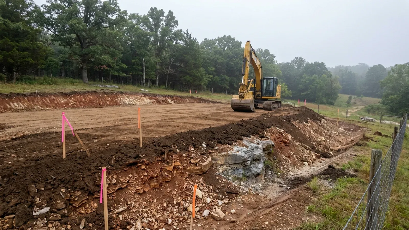
The expensive surprises are in the ground, not the building
What moves a Missouri budget is usually below grade, and which problem you have depends on where in the state you are. Across the Ozarks it is karst: the Department of Natural Resources maps more than sixteen thousand sinkhole points, and what matters there is what is under the slab rather than what the slab sits in. Across the north and centre it is claypan — dense, slow-draining subsoil that perches water above it for months of the year. In the Bootheel it is deep alluvium carrying the highest seismic demand in the state, where the same soils modelled for liquefaction attack post embedment and slab bearing rather than the frame above them. The same ground then decides the septic system, and Missouri does not run that on a percolation test alone: the rule allows a perc test or a soil morphology examination in a profile pit, and the authority reviewing your parcel picks which. Where a drainfield sits near a sinkhole's drainage, perc testing on its own is not permitted at all. Whether that authority is the state or your own county is itself a local question, and it changes what you have to file. So the site work, the foundation and the drainfield get resolved together rather than one at a time. We price the dirt before we price the building.
What we build in Miller County
All nine services are available in Miller County. What a build costs depends far more on the parcel than on square footage, so we price against your land rather than publishing a rate card.
Custom Plans
Barndominium floor plans drawn to your parcel and your soil, and to whichever Missouri authority — a county, a city, or none at all — will review them.
Barndominium Kits
Barndominium shell packages delivered to your Missouri land, drawn to the criteria your own county or city publishes — because the state publishes none.
Turnkey Builds
Start to finish barndominium construction in Missouri: the permits that genuinely apply, site work, shell and interior finish, under one contract.
What a build looks like
Three stages every Miller County project passes through, from a raw parcel to a finished home. Site work first, because that is where the budget is decided.
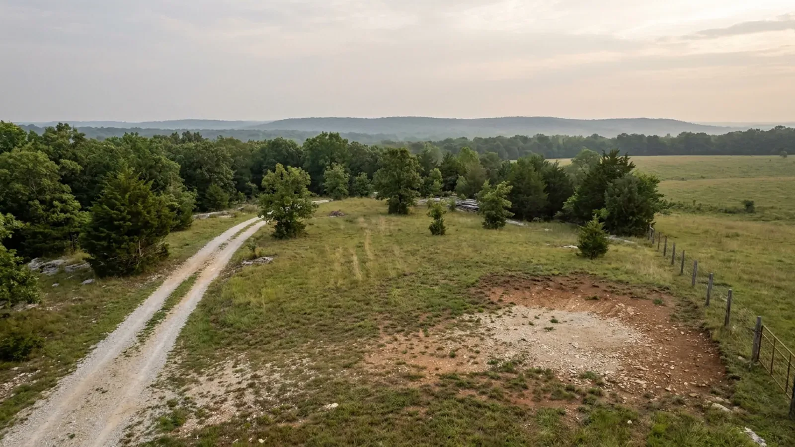
The parcel
Zoning, setbacks, flood zone and utility access get checked before anything is drawn.
Pad and permit
Clearing, grading and a compacted pad, while the submittal works through whichever office issues the permit where you are building.
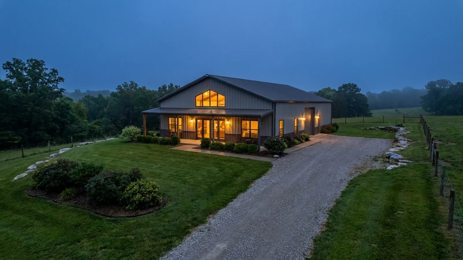
Frame to finish
Shell erected and dried in, then systems, insulation and interior finish through to CO.
Those are the rules where you are building in Miller County. Tell us what you want to build and we will draw it to them.
Where we build around Miller County
Miller County and the rural land around it. The buildable acreage for a project this size usually sits outside the city limits, which is frequently what changes who issues your permit.
Keep reading
The questions that usually come next once you know what Miller County allows.
Barndominium Cost Guide
Sourced per-square-foot ranges by tier and by size, with a calculator built on the same figures.
Read itIs It Legal in Missouri?
Classification, zoning, the HOA gate, and why "nonresidential farm building" does not cover a home.
Read itHow Long Does It Take?
Census build-duration data, and what actually sets the permit clock where you are building.
Read itNearby areas we build in
Others we cover nearby, and they are not interchangeable. One may be a county with an adopted building code, another a county with no legal authority to have one, another a city that permits inside its own limits whichever county the land sits in. So the office that issues the permit, whether anyone inspects the work at all, the fees, the zoning and the design figures can differ from one card to the next — sometimes across a single property line.
Building in Miller County: common questions
9 questions we get asked most often about building in Miller County. If yours is not on the list, ask it directly.
Does Miller County have a building code, and could it adopt one?
Then who inspects my barndominium while it is being built?
My lot is more than three acres. Doesn't that exempt me from the septic permit?
I want a steel or post-frame exterior. Is that allowed here?
My land is in Osage Beach or Lake Ozark but on the Miller County side. Who permits it?
Osage Beach says 115 mph and Lake Ozark says 90. Is one side of the lake windier?
There is no county code. So what actually stops a build here?
It is an agricultural building. Doesn't that exempt it?
How much land is actually for sale out here, and what is the ground like?
Building in Miller County?
Start with the plan. Tell us what you want to build and we will draw it, then confirm which office issues the permit for your parcel, what it will let you put there, and what wind load it has to meet. That conversation costs nothing.