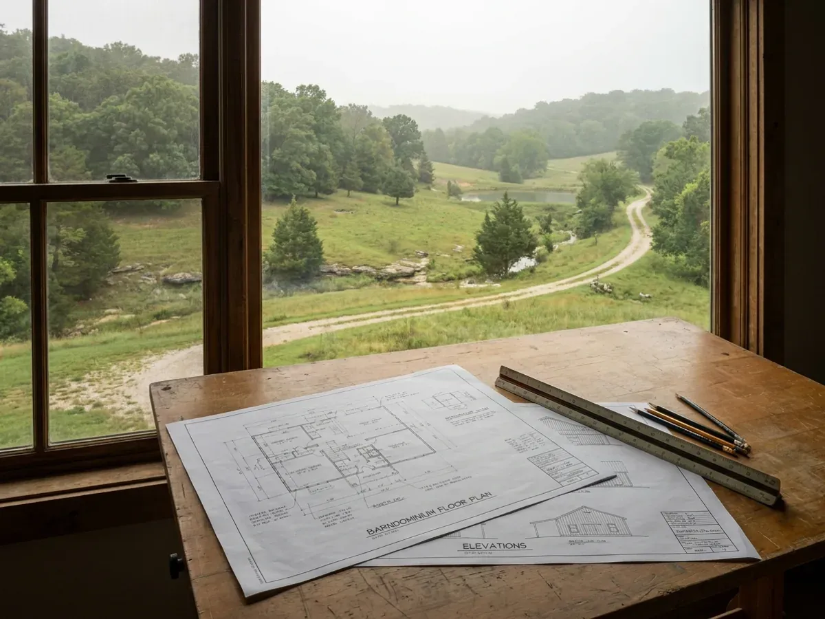
Barndominium floor plan and elevation drawings laid out on a drafting table with a scale rule.

Custom Plans in Missouri

Stock plans are cheap and usually wrong, because they were drawn for a different lot under a different set of numbers. We draw to your parcel: how the building sits on the fall of the land, which way the shop door faces, how the slab is detailed for the soil under it. In Missouri the soil is not a footnote to that work, it is the front of it. Missouri's on-site sewage rule accepts two entirely different kinds of site evaluation and lets the permitting authority decide which one your land gets, and on Ozark karst and northern claypan — the two grounds a barndominium is most likely to be built on here — the simple one is either off the table or useless. One soil answer sets the foundation and the wastewater system, and it is cheaper to have it before the first layout than after the third.

Permit-ready stamped drawings
Engineered for what your county actually requires

Custom Plans: how the work runs

Four stages, in this order. The sequence matters more than it looks: getting engineering and permitting settled before anything is fabricated is what keeps a build from stalling.

1

Program, and the questions the land answers first

We list what the building has to do: bedroom count, shop bays, RV height, covered porch, future expansion. Then we look at the actual land, because slope and access change layouts and because in Missouri two site facts decide more than any of the above. Whether there is a basement, which is a frost-depth and bedrock question before it is a floor-plan one. And where the wastewater system can go, which on this ground is often the constraint on the whole build rather than a detail at the end of it.

2

Pull the parcel before drawing the parcel

Missouri publishes unusually good free data on the ground you are about to build on, and we use it before the first sketch. The soil map units come from the USDA's Web Soil Survey, which now covers all 114 Missouri counties plus the City of St. Louis. Sinkholes, caves, losing streams, springs and the well drilling area for your parcel come from Missouri DNR's GeoSTRAT. The flood zone comes from FEMA's Flood Map Service Center. Between them those three tell us whether we are drawing a slab, a walkout or a full basement — and whether the site has a wastewater answer at all.

3

Concept layouts

You get two or three floor plan concepts with elevations. We expect you to mark them up. Most projects go through two rounds before something clicks, and it is far cheaper to move a wall on paper than to move a column base after the slab is poured. This is also where the shop-to-living split gets settled, because that single line sets the frame, the eave height and how the slab is detailed on each side of it.

4

Construction documents, and the seal if one is needed

The chosen concept becomes a full set: floor plans, elevations, sections, foundation plan, framing and electrical layout, drawn to whatever your own jurisdiction publishes rather than to a national default. Where a seal is required — and in Missouri that is a jurisdiction-by-jurisdiction answer, not a state one — the set is sealed by a Missouri-licensed professional engineer. Where none is required, RSMo 327.101 still sets a condition worth knowing: a person may render design services for a dwelling house without an architect's or engineer's licence only if the drawings themselves say the person is not licensed as one.
Overhead view of architectural floor plan and structural elevation drawings spread on a workbench with a scale ruler and pencil.
The ground goes first

In Missouri you do not choose how your site is evaluated — the permitting authority does

Most of the country runs on percolation tests. Missouri's on-site sewage rule, 19 CSR 20-3.060, accepts two different site evaluations — percolation testing, or a soil morphology examination read from a profile pit — and it is the administrative authority that decides which one your land gets. The perc-only route is available only for standard systems on sites not classified as having significant groundwater contamination potential, and only where the rate falls between ten and sixty minutes per inch. Both of Missouri's signature grounds fall outside that. In the Ozarks, a disposal field within a hundred feet of a sinkhole's topographic drainage is classified as significant contamination potential by definition, and chert soils draining faster than ten minutes per inch trigger either a registered geologist's assessment or a soil morphology examination. In northern and central Missouri, the claypan series carry very slow permeability and a perched water table sitting within six inches to a foot and a half of the surface from December to May. So the right phrase for a Missouri drawing set is a soil morphology evaluation, or a percolation test if the local authority allows one — never a perc test on its own.

Where we deliver custom plans

In Missouri the county line is a real boundary, and unusually it can decide whether there is a building code on your side of it at all. Only first- and second-classification counties may adopt one, and classification is set by assessed valuation rather than population — so a small county can have the authority while a much larger one does not. Cross a line and what changes is whether the build is inspected, who reviews the drawings, what they charge, how the land is zoned, and the design figures the work is engineered to. Two parcels twenty miles apart can carry completely different engineering, and sometimes completely different paperwork.

Serving clients across the entire region.

Every locality we build in has its own reviewer, its own fee schedule and its own filled-in design criteria. The service area pages set out what each one publishes.

View our full service area →
Before you commit

What actually decides the price

Square footage is the number everyone leads with, and it is rarely the one that moves a barndominium budget. These four do.

  • How far the frame has to span

    Clear span is what pushes a building out of any prescriptive residential table your jurisdiction has adopted and into a design that a Missouri-licensed professional engineer has to work out and seal. It also drives frame weight faster than length does — forty feet of open floor with no interior bearing wall is a different problem from sixty, not a smaller version of it. Deciding it early is what keeps the interior genuinely open and stops a bay spacing fighting the trusses it was going to carry.

  • Which soil evaluation your site draws — and what it comes back saying

    Gallons become square feet through the soil, and Missouri's rule sets hard edges. A percolation rate slower than sixty minutes per inch means the system design has to be drafted and signed by a registered engineer unless suitability and sizing were established by soil evaluation instead. Slower than a hundred and twenty minutes per inch and an on-site system is not permitted at all, except a lagoon or a system designed under the rule's engineered provisions. On the fast side, a rate of ten minutes per inch or quicker forces either a registered geologist's assessment of severe geological limitations or a soil morphology examination. This is the single item most likely to change what can be drawn, and it is the reason we want it before concept layouts rather than after.

  • Whether a basement is on the table

    Missouri asks this question in a way the southern states in this series do not, and three things decide it. Frost depth, which across the Missouri jurisdictions publishing their own tables runs from 24 inches in Springfield to 30 in Boone County and St. Charles County to 36 in Kansas City — the deeper the frost line, the smaller the step from a footing to a foundation wall. Bedrock, because Ozark ground is often shallow to dolomite, which is why a walkout on a slope is frequently the better drawing than a full excavation. And voids, because Missouri DNR is explicit that many sinkholes are not visible at the surface and are discovered during excavation, by drilling, or through geophysical exploration.

  • Whether anyone reviews the set at all — and whether zoning does

    These are two separate Missouri questions with two separate answers, and blurring them is the most common mistake made about this state. Building-code authority is keyed to county classification: under RSMo 64.170 only first- and second-classification counties may adopt a code, and on the Missouri Association of Counties' May 2025 list 89 of the 114 counties are third classification. Zoning is a different statute. RSMo 64.510 lets a second- or third-classification county adopt planning and zoning after a vote of its people, and RSMo 64.695 lets the voters terminate it again on a petition — at which point the regulations adopted under it are void and of no effect. So a reader in a third-class county may face a zoning permit and a setback with no plan review and no building inspection whatsoever, and the drawing set has to answer the right one.

Barndominium floor plan and elevation drawings laid out on a drafting table with a scale rule.

Custom Plans in Missouri: common questions

8 questions we get asked most often about building in Missouri. If yours is not on the list, ask it directly.

Why can't I just buy a stock plan online and hand it to the county?
Because the numbers on a stock plan are somebody else's, and in Missouri there is no state number for them to have been anybody's. Missouri has no statewide residential building code and publishes no statewide wind speed, ground snow load, frost depth, seismic category or climate zone. What exists is a set of local answers that genuinely differ. Springfield's adopted table publishes a 24-inch frost line and a 115 mph wind speed. Boone County's 2015 International Code Addendums, effective 1 April 2017, publish 30 inches and 115 mph. St. Charles County's 2021 residential code publishes 30 inches and 107. The Kansas City Residential Code 2018 publishes 36 inches and 115. Read the wind figures carefully where they differ: Cass County still publishes 90 in a table inserted into a 2006-edition code, and 90 against 115 is two conventions from two code-edition eras rather than a claim that Cass County is calmer than Kansas City on its northern line. Boone County proves the point by itself — its wind figure moved from 90 to 115 when the county went from the 2012 codes to the 2015 codes, and every other row of its table stayed the same. And the second reason a stock plan fails here has nothing to do with the code at all — it was not drawn for your soil, your slope or your wastewater answer, and in Missouri those decide the foundation.
Who is allowed to seal drawings in Missouri, and do I even need a seal?
Missouri licenses architects, professional engineers, land surveyors and landscape architects through one board, and where a seal is required it is a Missouri licence a reviewer is looking for. Whether one is required is local. Platte County's own building permit packet requires sealed drawings by a Missouri-licensed engineer for several permit types, and Greene County states that design documents must be sealed by a design professional licensed with the State of Missouri for commercial plan submittal. In a county with no building code there may be no submittal to seal anything for. But there is a state rule that applies to the drawings themselves regardless of who reviews them. RSMo 327.101 exempts design services rendered for a dwelling house from the architecture licensing requirement, and RSMo 327.191 does the same for professional engineering — but both exemptions are conditioned on the person indicating on the drawings, specifications, estimates and reports that they are not licensed as such, and on not using the protected titles. There is a separate exemption for buildings used exclusively for agricultural purposes. Those are two different doors and they should not be merged: a barndominium you live in goes through the dwelling-house one, not the agricultural one.
Do I need a perc test in Missouri, or something else?
Ask the permitting authority, because the rule gives them the choice and it is not always the perc test. Missouri's minimum construction standards for on-site sewage disposal systems accept two types of site evaluation — percolation testing, or a soil morphology examination conducted from a profile pit — and the rule says the administrative authority determines which method is used. Percolation testing on its own is available only for siting and sizing standard systems in areas not classified as having significant groundwater contamination potential, and only where the measured rate falls between ten and sixty minutes per inch; a minimum of four test holes is required and the slowest of them governs the design. Soil morphology is directed at sites with significant contamination potential, severe geological limitations, or restrictive layers, and where it is used, no percolation test is required — though the authority may still ask for one. Missouri registers both roles as separate professional categories, percolation testers and on-site soil evaluators, under 19 CSR 20-3.080. The practical upshot for a Missouri barndominium buyer is simple: on Ozark karst and on northern claypan, plan for a soil evaluation in a profile pit and treat a perc test as the exception.
My lot is over three acres. Do I need a septic permit at all?
Possibly not from the state — and this is the most commercially significant fact about building on Missouri acreage. RSMo 701.031 excludes the owner of a single-family residence lot of three acres or more from the state on-site sewage provisions and the rules made under them, including the provisions on construction, operation, major modification and major repair. A ten-acre-or-more residential lot can qualify on separate terms. Three limits travel with it and all three matter. First, it is an exemption from the state programme only: RSMo 701.047 and 701.035 let a city or county adopt more restrictive standards of its own, and a county ordinance can still reach the same parcel. Second, it is not a licence to build a bad system — the same section opens by requiring property owners of all buildings where people live, work or assemble to provide for the sanitary disposal of all domestic sewage, and the exemption itself is conditioned on every point of the system sitting more than ten feet from any adjoining property line, with no effluent entering adjoining property, contaminating surface water or groundwater, or creating a nuisance. Third, lots adjacent to lakes operated by the Corps of Engineers or by a public utility are expressly carved out of the exemption, which in Missouri means shoreline parcels need checking one at a time.
What does claypan soil do to a Missouri floor plan?
More than most buyers expect, and it lands twice. The Central Claypan series — Mexico, Putnam, Adco, Leonard and Armstrong — appear as a major map-unit component in 38 Missouri counties, concentrated across the north and centre of the state, with the fullest suite in the northeast around Knox, Lewis, Macon, Shelby, Boone, Audrain, Callaway, Marion, Monroe, Montgomery, Pike, Ralls and Randolph. The USDA's own series description for Mexico soils classifies them as Vertic Epiaqualfs with smectitic clay mineralogy — shrink-swell behaviour stated in the taxonomy itself — describes permeability as very slow, and records a perched water table sitting between half a foot and a foot and a half of the surface from December to May in most years. That first fact is a slab and post problem: it drives finished floor elevation, perimeter drainage and how the pad is built up. The second is a wastewater problem, and it is usually the binding one. Pull the parcel's map units on Web Soil Survey before the layout is fixed, because on this ground the drainfield tends to set the building's position rather than the other way round.
Can I put a basement under a barndominium in Missouri?
Often yes, and Missouri is the state in which the question is most worth asking — but it is decided by the ground rather than by the plan. Start with frost depth, because the deeper your jurisdiction's published frost line, the shorter the step from a code-depth footing to a full foundation wall: Springfield publishes 24 inches, Boone County and St. Charles County 30, and the Kansas City Residential Code 2018 publishes 36. Then bedrock. In the Ozarks the limestone and dolomite can be shallow, which is why a walkout cut into a slope is frequently a better drawing than a full excavation. But do not assume the rock: in the USDA soil survey of Greene County only about four per cent of the acreage carries a bedrock restriction within 20 inches, and under six per cent within 40. What is common there is chert — 5 to 75 per cent gravel through every horizon of the dominant Goss soils — and a fragipan mapped across roughly 38 per cent of the county at 16 to 33 inches, which is the band Springfield's 24-inch frost line lands inside. Where you genuinely do hit rock, some jurisdictions write the alternative into their own code — the City of St. Louis at R403.1.4.1, and the City of Sullivan, which retains it in its current text. Then voids, which is the karst question: Missouri DNR has identified roughly 16,000 sinkholes statewide and says plainly that many more exist that have not been documented, and that some are not visible at the surface because the voids are plugged or capped, only being discovered during excavation, by drilling, or through geophysical exploration. Finally, radon. Whether or not your county is in a high-potential zone, a passive sub-slab depressurisation system costs almost nothing before the concrete is poured and is expensive to retrofit, and the finished house should be tested either way — Missouri's health department offers residents a free short-term test kit, one per household.
My land is in the Ozarks and there is a sinkhole on it. What changes?
Quite a lot, and in one Missouri county it is written down. Greene County's Design Standards, Section 107 "Sinkholes and Karst Features", adopted 5 April 1999, states that the first approach is avoidance and that construction in sinkholes shall be avoided, with exceptions only where it can be conclusively demonstrated that there is no practical alternative. Where any part of a sinkhole falls on a development site, the county requires a Sinkhole Evaluation Report containing a site plan, an area map, a flooding evaluation and a water-quality evaluation. Residential structures may be permitted within the sinkhole rim only if set back at least 20 feet from the sinkhole flooding area, with the lowest floor at least 5 feet above the sinkhole flooding elevation or 1 foot above the lowest point on the sinkhole rim, whichever is less — and only with a statement from a qualified engineer that foundation conditions are suitable for residential structures. Nothing within 25 feet of the rim, including sanitary sewer lines, without approved special measures. Those are Greene County's rules and they do not bind another county, but they are the clearest published statement in Missouri of what karst actually demands, and they set the shape of the questions to ask anywhere on the Springfield Plateau. Separately, the wastewater rule reaches the same ground from another direction: a disposal field within a hundred feet of a sinkhole's topographic drainage is classified as significant groundwater contamination potential, which takes the percolation-test-only route away.
If we draw it as an agricultural building, does that simplify everything?
No, and Missouri's own statutes are unusually clear about why. The agricultural exemption sits in the county planning and zoning enabling acts — RSMo 64.620(2) for second- and third-classification counties, 64.890(2) for the alternative programme, and 64.090(2) for charter counties — and all three protect farm buildings and structures "used for such purposes", where the purposes named immediately before are the raising of crops, livestock, orchards or forestry. A dwelling is none of those, and the same section separately lists residence as a use the county may regulate. Two further limits sit in the text: the exemption does not apply inside the area shown on the flood hazard area map, and it is an exemption from zoning alone, not from a county building code, a septic permit, a floodplain permit or anything else. Expect the right-to-farm argument as well, because it is real and it fails on its own words: Missouri's constitution guarantees the right of farmers and ranchers to engage in farming and ranching practices, but says in the same sentence that the right is subject to powers conferred by Article VI — the local-government article — and Missouri's courts have already held it does not invalidate a validly adopted county ordinance. Building a house is not a farming practice. And Missouri's property-tax statute, the most farmer-friendly definition of agricultural in the books, adds the value of buildings customarily associated with farming to agricultural land while expressly excluding residential dwellings and related land. Even the assessor separates the house from the farm.

Ready to put custom plans against a real plan? Start there and the rest follows.

Tell us about the land

Send the parcel ID or an address and we will come back with what can be built on it, the wind load it has to meet, and a realistic budget range. That conversation costs nothing.