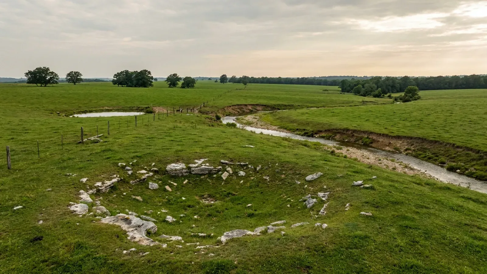
Barndominium Builders in Webster County, MO
Webster County is where Springfield's commuter shed stops being regulated. Cross the Greene County line eastbound on I-44 or Highway 60 and you leave a first-classification county that publishes a pole-barn handout, requires sealed plans for metal structures and runs a septic ordinance reaching every parcel — and enter a third-classification county that has no building code, cannot lawfully adopt one, issues no building permit of any kind, and told its own residents in writing in June 2026 that it "does not currently have countywide planning and zoning." That is not a gap in the research. It is the answer, and it is the single most valuable thing a buyer of acreage here can be told, because it changes what has to happen before you pour and who you have to satisfy. What replaces a building department is a short, specific list. The Webster County Health Unit issues the on-site wastewater construction permit — but only below an acreage line, and the line here is nothing like Greene's. Webster County 911 assigns the rural address, and will not do it until the permanent driveway is in and the ground is foundation-ready. MoDOT permits the entrance if you are coming off a state highway. Inside Marshfield, Rogersville and Seymour a city building inspector permits and inspects, and those three cities are on three different code generations. Outside them, nobody inspects the building — which is a statement about the county commission's legal authority under RSMo 64.170, not a claim that nothing on your parcel is regulated. The land is why people come. Seventy percent of the county is in farms, 1,609 of them, averaging 166 acres, and three-quarters of those farms are under 180 acres — small holdings inside a thirty-minute drive of a metropolitan job, which is exactly the shape a house-plus-shop build wants. Sixty-two percent of the county's 42,041 residents live outside any incorporated place. The ground is Springfield Plateau karst but it behaves quite differently from Greene's: the state's sinkhole layer maps 58 points here against 1,471 next door, the soil survey puts bedrock within twenty inches on under two percent of the county, and what actually governs a footing is a fragipan mapped across a third of the survey area at sixteen to thirty-four inches — a band the only frost line published anywhere in the county lands directly inside.
Webster County at a glance
- County
- Webster County
- Population
- 42,041
- ZIP codes
- 65706, 65742, 65746, 65652, 65713, 65644, 65632, 65757, 65648
- Site visits
- Same-week site visits across the county — Marshfield and the I-44 exits, Rogersville and Highway 60 west, Seymour, Fordland and Diggins on the ridge, Niangua, Elkland and the Pomme de Terre headwaters north
Building conditions in Webster County
Missouri sets no residential building code and no statewide way of adopting one, so the first question on any parcel is not what the code says — it is whether there is one. Only counties of the first and second classification may adopt a building code at all, and classification is set by assessed valuation rather than population, so a small county can hold the power while a much larger one does not. Zoning is a separate power with its own answer, granted only after a vote of the people and repealable by another. What changes from one jurisdiction to the next is whether the work is inspected, who issues the permit, what that office charges, how the parcel is zoned, and the design figures your drawings have to satisfy.
RSMo 64.170 (Effective 28 Aug 2008) and RSMo 64.205, read from revisor.mo.gov 8 September 2026; RSMo 48.020 (Effective 28 Aug 2026); Missouri Association of Counties, 'Missouri Counties by Classification', mocounties.com/s/Missouri-Counties-by-Classification-2025.pdf, cover line '(PUBLISHED MAY 2025)', 'TOTAL COUNTIES 114', downloaded and read 8 September 2026
Webster County, Missouri, 'Permits and Licenses' page and site office index, webstercountymo.gov/service-center/permits-and-licenses/, read from dated Internet Archive captures of 19 September 2024, 4 March 2025 and 8 May 2025 (the list is identical in all three; the live host serves a Cloudflare interstitial); Webster County Commission, 'County Adopts Six-Month Moratorium', 16 June 2026, webstercountymo.gov/county-adopts-six-month-moratorium/, read from the Internet Archive capture of 7 July 2026
Missouri Department of Health and Senior Services, OWTS Construction Permit Process county selector, health.mo.gov/business-professionals/onsite-wastewater-treatment/owts-construction-permit-process?county=Webster (Agency: Webster County Health Unit; Authority Type: Contract; 233 E Washington, Marshfield MO 65706; (417) 859-2532), read 8 September 2026 with ?county=Camden and ?county=Greene run as controls; Webster County Health Unit, 'Onsite Wastewater' page, webstercountymohealth.gov/environmental-services/wastewater/, read 8 September 2026; RSMo 701.031 (Effective 28 Aug 2005) and RSMo 701.047 (Effective 28 Aug 1994)
City of Marshfield Code §§ 500.060 (Ord. No. 2106, 8-24-2023; Ord. No. 2204, 8-4-2025), 500.230 (Ord. No. 2104, 8-24-2023; Ord. No. 2126, 1-11-2024) and 500.370 (Ord. No. 2108, 8-24-2023), codified text version 2026-04-23; City of Rogersville Code § 500.010 (Ord. No. 813 §§1-2, 4-7-2014; Ord. No. 997, 7-13-2020), codified text version 2025-10-06; City of Seymour Code §§ 500.010-500.060 and 510.010 (Ord. Nos. 2011-665 to 2011-672, 7-28-2011) and § 500.040 (Ord. No. 494 §§1-2, 9-12-1996), codified text version 2024-11-14 — all read from eCode360 8 September 2026, each page's title verified as naming the correct city in the same read
City of Rogersville Code § 500.010.B.1, amended Table R301.2(1) in full (Ord. No. 813 §2, 4-7-2014; Ord. No. 997, 7-13-2020), read from eCode360 8 September 2026 and re-read after independent re-navigation, codified text version 2025-10-06; City of Marshfield Code § 500.370.B (Ord. No. 2108, 8-24-2023); City of Springfield Code § 36-1302, amended Table R301.2(1), 2018 International Residential Code
Webster County 911, 'Request An Address' page (Mapping Requirements & Request) and 'Agencies We Serve' page, webster911.org, read 8 September 2026 with a bogus path run as a control (honest 404); Missouri Department of Transportation, 'Types of Entrances Requiring Permits', modot.org/types-entrances-requiring-permits, read 8 September 2026; Webster County Health Unit, 'Onsite Wastewater' page, read 8 September 2026
Also worth knowing before you build in Webster County
- Fifty-eight sinkholes here against 1,471 next door — the karst does not cross the county line
- Greene County is the second most sinkhole-mapped county in Missouri and regulates accordingly. Webster County sits on the same Springfield Plateau limestone and is a completely different proposition. A spatial query of the Missouri Department of Natural Resources sinkhole layer against the county boundary returns 58 mapped sinkhole points inside Webster County — against 1,471 in Greene immediately west and 662 in Christian to the south-west, on a statewide layer of 16,001 points that matches the department's own published figure of approximately 16,000. That is a twenty-five-fold difference across one county line. It does not mean the ground here is uniform or that a sinkhole is impossible on a particular tract; the department's own guidance is that sinkholes 'often serve as direct conduits for rapid surface water infiltration into the underlying groundwater aquifer' and that some are covered by soil or thin rock and are found only 'by drilling, or through geophysical exploration'. What it does mean is that the sinkhole evaluation reports, rim setbacks and non-buildable areas that shape a Greene County site plan have no Webster County counterpart, because no Webster County instrument creates them.
- The rock is deep here; the fragipan is not, and it sits exactly where the frost line does
- 'Shallow to bedrock' is the reflex assumption about Ozark ground, and in Webster County the soil survey contradicts it about as hard as it can. In USDA-NRCS survey area MO225, Webster County, Missouri — 379,981 acres across 65 map units, last refreshed 28 August 2025 — a lithic or paralithic bedrock restriction occurs within 50.8 centimetres, which is twenty inches, on about 7,390 component-weighted acres, or roughly 1.9 percent of the survey area, and within 101.6 centimetres, forty inches, on about 30,300 acres or eight percent. What is genuinely widespread is a fragipan: mapped on about 126,900 acres, roughly a third of the county, with its top between 41 and 86 centimetres — sixteen to thirty-four inches. The two largest soils in the county explain both numbers. Noark, the most extensive at about 51,300 acres, is described in its Official Series Description as having 'Depth to Bedrock: greater than 80 inches' while carrying 15 to 60 percent chert fragments in its upper horizons and about 70 percent by volume at depth. Viraton, the second at about 36,500 acres, is 'very deep, moderately well drained soils that have a fragipan', with 'Depth to the fragipan is 15 to 33 inches', permeability 'very slow in the fragipan', and — the sentence that matters most for a slab — 'a perched water table has an upper limit of 1.5 to 2.5 feet during December to May in most years'. The Viraton series type location is in Webster County itself, about two miles north of Niangua.
- Marshfield's accessory-building rule names metal as an approved material — and caps the shop at 1,200 square feet
- Some jurisdictions quietly rule out the exterior this kind of building is made from. Marshfield does the opposite, and says so in a sentence worth quoting: 'All accessory buildings, including portable accessory buildings, shall be of similar color and design as the house. Approved primary exterior materials include any combination of wood, brick, metal, or vinyl.' The rest of section 410.010.B.3, which is headed 'Lot Coverage, Appearance, Height And Size In Residential Districts', is where a shop-and-house build meets its real limits inside the city. 'An accessory building shall not exceed the gross floor area of the principal building or principal use served.' 'No single permanent accessory building shall exceed one thousand two hundred (1,200) feet of gross floor areas unless specifically approved by the Board of Aldermen.' 'Accessory buildings shall not exceed the height of the home or principal structure.' And an unusual one: 'Roof pitch for accessory structures exceeding fifteen (15) feet in height must be constructed at a pitch similar to the majority of the roof on the principal structure', with a deviation of plus or minus 8.33 percent allowed and the code's own worked example — a 9/12 house roof permits an 8/12 to 10/12 shop. In the R districts an accessory building also may not 'be used as a sleeping quarters'. None of this reaches unincorporated ground, where the county regulates neither the size of a shop nor what it is clad in.
- There is one place in the county where corrugated metal is prohibited, and it is a strip beside one highway
- Reporting a material ban without its scope is how a reader gets told the wrong thing, so here is the scope precisely. Marshfield created a Highway CC Corridor Overlay District by Ordinance No. 2170 of 10 October 2024, covering an area '1,250 feet north of and 940 feet south of Highway CC MODOT right-of-way' between Rifle Range Road on the east and the I-44 right-of-way on the west. Inside it, section 405.200 lists prohibited exterior building finishes including 'Corrugated metal', and permits 'Architectural metal-panel systems with concealed fastening systems (metal with exposed fasteners typically used for agriculture purposes not allowed)' — but section 405.160.C.1.b applies that list to non-residential buildings visible from the highway. For a residential building visible from Highway CC the rule is different: at least 40 percent per vertical wall plane must be 'brick, precast concrete, natural or pre-cast stone, cementitious fiberboard, vinyl or aluminum siding with a minimum .044 gauge, or tinted glass', and 'highly reflective, shiny, or mirror-like materials' are prohibited. Rogersville carries a metal restriction too — a 3-in-12 minimum roof pitch, a 12-to-30-inch eave, a 1,200-square-foot minimum main floor, and exterior treatments 'excluding smooth, ribbed, or corrugated metal or plastic panels' — but section 405.565.C attaches all of it to 'Manufactured And Modular Homes On Individual Lots In Residential R-1 Zone' and to nothing else. Outside that overlay strip, and outside that use class, no jurisdiction in Webster County restricts the exterior material, the roof pitch or the eave on a site-built house, and neither Marshfield nor Rogersville sets any minimum floor area for one.
- A fire district could be the building authority here — and none of them is
- In much of Missouri a fire protection district organised under RSMo Chapter 321 can regulate construction in its own right, entirely independently of county classification: RSMo 321.220(12) lets a district board adopt fire ordinances whose standards may be industrial codes adopted by nationally recognised trade bodies, and RSMo 321.228 closes that route only where the city or county itself 'adopts or has adopted, implements, and enforces a residential construction regulatory system'. Webster County does not, so the route is wide open here — which makes checking the districts by name worth doing rather than assuming. The Missouri Division of Fire Safety's registration dataset lists five agencies for Webster County in the 2026 registration year: Marshfield Fire Protection District, Southern Webster County Fire Protection District at Seymour, Niangua Fire Protection District, Elkland Fire Protection District, and the Seymour Fire Department, which is typed as a municipality rather than a district. Two more districts registered in Greene County reach across the line — Logan-Rogersville and Strafford. Logan-Rogersville is the only one that publishes an adopted code, and it is a fire code, not a building code: its own Fire Code page states that 'the Logan-Rogersville Fire Protection District has adopted the 2018 ICC Fire Codes' and that 'The Board of Directors approved Resolution # 071221, Ordinance # 3 on July 12, 2021', noting the district spans portions of three counties and that the purpose is to keep commercial and multi-family buildings safe. Adopting the International Fire Code is ordinary and lawful everywhere; it does not make a district a building department, and none of these districts issues a residential building permit.
- Seventy percent farmland, 1,609 farms, and three-quarters of them under 180 acres
- Webster County has the land a house-and-shop build needs and it is held in the right sizes. The 2022 Census of Agriculture county profile records 1,609 farms on 266,345 acres of land in farms at an average size of 166 acres — against a statewide average nearer 308 — on a county whose total land area is about 379,258 acres, so roughly seventy percent of the county is in farms. The size distribution is the part that matters to a buyer: 113 farms of 1 to 9 acres, 488 of 10 to 49 acres, 619 of 50 to 179 acres, 277 of 180 to 499 acres, 72 of 500 to 999 acres and 40 of 1,000 acres or more. Three-quarters of the county's farms are under 180 acres and nearly a third are between 10 and 49. This is dairy and cattle country rather than row-crop country — 87 percent of the county's agricultural sales are livestock, poultry and products against 13 percent crops — which is why the land divides the way it does, into pasture blocks with a barn already on them. Land in farms by use runs 112,232 acres of pastureland, 75,116 of cropland, 68,427 of woodland and 10,570 other. Farm numbers are down 12 percent since 2017 while total acreage is flat, so the average holding has grown 15 percent even as parcels change hands.
- Sixty-two percent of the county lives outside every city limit
- The regulatory question on this page only matters if the acreage is actually where people are buying, and in Webster County it is. Census sub-county estimates for 1 July 2024 put the balance of Webster County — everyone living outside every incorporated place — at 26,178 of the county's 42,041 residents, a little over 62 percent. The incorporated places are small and none of them dominates: Marshfield 7,935, Rogersville 4,458 in its Webster County portion, Seymour 1,934, Fordland 809, Niangua 414 and the village of Diggins 313. Rogersville is the county's split personality, straddling the Greene line with a further 886 residents on the Greene County side, so the same town sits in a class-1 county and a class-3 county at once — though the city permits inside its own limits regardless of which county a lot falls in. Strafford also crosses into Webster County and holds nobody on this side of the line. The county grew 7.6 percent between the 2020 census base of 39,084 and the 2024 estimate, which for a rural Missouri county is quick, and almost all of that growth has somewhere to go that no county office regulates.
- The county has no zoning — but it is in the flood programme, and its map is fifteen years older than Greene's
- A county with no building code and no zoning still carries one land-use obligation, and it is the federal one. FEMA's Community Status Book lists Webster County, community 290848, as participating in the regular phase of the National Flood Insurance Program since 14 April 2003, with a currently effective map dated 17 September 2010. Every incorporated place in the county participates too: Marshfield (290685, regular programme since 10 September 1984), Seymour (290933, 11 February 2005), Fordland (290780, 24 August 1984), Niangua (290552, 22 October 2003) and the village of Diggins (290932), which joined most recently on 24 July 2025. Rogersville is listed under community 290658 with its county field reading 'GREENE COUNTY/WEBSTER COUNTY', participating since 30 March 1981. Niangua, Fordland and Diggins are flagged as having no special flood hazard area at all. The comparison worth carrying is the map date: Greene County and every city in it are on a currently effective map of 19 September 2025, fifteen years newer than Webster's. Participation is what obliges a community to regulate development in the mapped floodplain under 44 CFR 60.3, and it is the only development regulation that reaches unincorporated Webster County ground.
- Inside Marshfield you pay to connect; outside it there is nothing to connect to
- One of the sharper practical differences between building inside a Webster County city and building on acreage is a cost that only exists on one side of the line. Marshfield charges water and sewer capacity fees on all new construction, set by the Board of Aldermen and codified at section 500.440 as most recently amended by Ordinance No. 2247 of 26 February 2026. For a single-family residence the water capacity fee is $0.18 per square foot of heated space at ground level and above and $0.10 per square foot below ground level; the sewer capacity fee is $0.35 per square foot at ground level and above and $0.15 below. On a 2,400-square-foot single-storey house that is a little over $1,270 in city connection fees before any building permit fee, which Marshfield keeps on a schedule filed with the City Clerk rather than in the code. On unincorporated ground there is no such fee, because there is no city main — the trade-off is a well and an on-site wastewater system, a soil morphology examination in backhoe pits at least 48 inches deep, and an installer registered with the Webster County Health Unit.
- There is no state licence for a builder to hold, and no state code for a builder to be inspected against
- Missouri has no statewide residential building code, no state agency that adopts one and no statewide general-contractor licence. That is not a local peculiarity of this county; it is the framework the whole question sits inside, and it is why the answer changes so completely across one county line. RSMo 64.196 lets a county that does have adopting power choose any nationally recognised code of 1999 or later, with no currency requirement and no state review, which is how Marshfield ends up on the 2018 codes and Rogersville and Seymour on the 2012. What the state does regulate is narrower and worth knowing: on-site wastewater installers and soil scientists are registered by the Department of Health and Senior Services, and the Webster County Health Unit publishes lists of both for this county and charges registered installers a $25 yearly fee to register locally. Where a structural design has to be sealed, it is sealed by a Missouri-licensed professional under RSMo Chapter 327, and where property corners have to be located, a licensed land surveyor locates them. Anyone who tells you Missouri has one code everywhere has not looked at two adjacent counties.
- A soil test is the one thing everybody here tells you to do, permit or no permit
- The inherited idea that a perc test decides your septic system is wrong for Missouri, and the Webster County Health Unit puts the correction on its own page in plain language. 'The most important step in the construction of a drain field for a septic system is to first obtain a soil morphology (also known as a soil test) of the area... This is a bit different than a perk test.' The method is described exactly: 'A soil test consists of three or more pits being dug in the area of the proposed drain field... These pits are a minimum of 48 inches deep and are usually dug with a backhoe. The soil scientist then reads the soils per horizon and creates a soil report. This report consists of soil colors, types, consistencies, roots, and fragipans.' That last word is not incidental here — the soil survey maps a fragipan across about a third of the county at sixteen to thirty-four inches, which is squarely inside the depth those pits reach. The Health Unit's advice does not depend on whether your parcel needs a permit: 'Bottom line... always have a soil test done no matter the acreage! If your property needs a permit through Webster County Health Unit, a soil report is required when submitting a permit application. But even if you don't need a permit, get a soil test done!' On a parcel over three acres with no permit requirement, that report is the only technical read anyone will do of your ground before you build on it.
- The county spent 2026 working out whether it can regulate anything at all — and said houses are not the point
- On 16 June 2026 the Webster County Commission adopted a temporary six-month moratorium on certain developments in the unincorporated county: data centres, solar energy systems, wind energy conversion systems and battery energy storage systems. It does not touch a house, a shop or a barn, and the Commission was explicit that 'The purpose of the proposed moratorium is not to stop any project that is already under construction,' acknowledging a data centre development then under way in the Rifle Range Road area. What makes the release worth reading is the reasoning, because it states the county's whole regulatory position from the inside: 'Webster County does not currently have countywide planning and zoning. As a result, the County must carefully evaluate what tools, if any, are legally available and appropriate.' And: 'We recognize that the right to own and use private property is a fundamental constitutional right... Webster County has always believed in limited, responsible government that does not regulate beyond what is truly necessary.' The Commission added that 'no final long-term regulatory framework has been adopted' and that it would study its options during the moratorium period. Anyone buying acreage here should confirm the current position with the Commission at the courthouse, but as it stands the county's own account of its powers is the plainest one on record.
Missouri DNR sinkhole layer, gis.dnr.mo.gov/host/rest/services/geology/sinkholes/MapServer layer 1, intersected with the Census TIGERweb county polygon for GEOID 29225 (esriSpatialRelIntersects, returnCountOnly), queried 8 September 2026 — Webster 58, Greene (29077) 1,471, Christian (29043) 662, statewide control 16,001; Missouri DNR sinkholes page, dnr.mo.gov/land-geology/hazards/sinkholes
USDA-NRCS Soil Data Access, SDMDataAccess.sc.egov.usda.gov/Tabular/post.rest, survey area MO225, queries run 8 September 2026 joining legend to mapunit to component to corestrictions, acreage weighted by component percentage. Note that corestrictions.resdept_r is recorded in CENTIMETRES, so the thresholds used were 50.8 cm for 20 inches and 101.6 cm for 40 inches. Survey total 379,981 acres (sacatalog saverest 28 August 2025) against a Census TIGERweb land area of 1,534,731,977 square metres, about 379,258 acres. Official Series Descriptions for NOARK, VIRATON and TONTI read from soilseries.sc.egov.usda.gov on 8 September 2026, with a bogus series name run as a control (honest 404)
City of Marshfield Code § 410.010.B.2 and B.3 (R.O. 2014 §410.010; Ord. No. 1441, 6-10-2010; Ord. No. 1916, 5-28-2020; Ord. No. 1976, 1-14-2021), read from eCode360 8 September 2026 and re-read after independent re-navigation, page title verified as 'Chapter 410: Supplementary Zoning Regulations - City of Marshfield, MO' in the same read; codified text version 2026-04-23
City of Marshfield Code §§ 405.160 and 405.200 (Ord. No. 2170, 10-10-2024) and §§ 405.005-405.040 (Ord. No. 2115, 9-28-2023; Ord. No. 2162, 8-15-2024; Ord. No. 2176, 11-21-2024), codified text version 2026-04-23; City of Rogersville Code § 405.565.C.2 (Ord. No. 320 §2, 5-21-1998) and § 405.340, codified text version 2025-10-06 — all read from eCode360 8 September 2026 with each page's title verified in the same read
RSMo 321.220 (Effective 28 Aug 2025) and RSMo 321.228 (Effective 28 Aug 2012), read from revisor.mo.gov 8 September 2026; Missouri Division of Fire Safety registration dataset, data.mo.gov resource gbr4-c765, filtered countyname=Webster with a bogus county run as a control (empty result), queried 8 September 2026; Logan-Rogersville Fire Protection District, Fire Code page, lrfire.org/fire-code, read 8 September 2026 with a bogus path run as a control (honest 404); Webster County 911, 'Agencies We Serve'
USDA NASS, 2022 Census of Agriculture, County Profile for Webster County, Missouri, nass.usda.gov/Publications/AgCensus/2022/Online_Resources/County_Profiles/Missouri/cp29225.pdf, downloaded and read 8 September 2026 with a bogus county FIPS run as a control (honest 404); land area from Census TIGERweb, GEOID 29225, AREALAND 1,534,731,977 square metres
U.S. Census Bureau, Vintage 2024 Population Estimates, sub-est2024_29.csv (SUMLEV 157 place-part records for state 29, county 225 and 077) and co-est2024-alldata.csv, downloaded from www2.census.gov and read 8 September 2026
FEMA OpenFEMA API, NfipCommunityStatusBook entity, filtered state 'MO' and county 'WEBSTER COUNTY' and 'GREENE COUNTY' and by community name for Rogersville, queried 8 September 2026 with a bogus county run as a control (empty result); 44 CFR 60.3
City of Marshfield Code § 500.440, Water Capacity Fee Schedule and Sewer Capacity Fee Schedule (R.O. 2014 §500.440; Ord. No. 1196 §§1-6, 2-9-2006; Ord. No. 2247, 2-26-2026), and § 505.160 (fees 'kept on file in the City Clerk's office'), read from eCode360 8 September 2026, codified text version 2026-04-23; Webster County Health Unit, 'Onsite Wastewater' page, read 8 September 2026
RSMo 64.196; RSMo Chapter 327; Missouri Department of Health and Senior Services onsite wastewater programme registration of installers and soil scientists; Webster County Health Unit, 'Onsite Wastewater' page — 'If you are a State Registered Installer and would like to register to install systems in Webster County, please fill out the Installers Registration Form located under the Forms tab and send in with $25 yearly fee associated with registration' — read 8 September 2026
Webster County Health Unit, 'Onsite Wastewater' page, sections 'Soil Test' and 'What the Homeowner Should Know', webstercountymohealth.gov/environmental-services/wastewater/, read 8 September 2026 and re-read after independent re-navigation; 19 CSR 20-3.060(2)(D); USDA-NRCS Soil Data Access survey area MO225 fragipan query, 8 September 2026
Webster County Commission, 'County Adopts Six-Month Moratorium' — 'FOR IMMEDIATE RELEASE. Webster County Commission Issues Statement Regarding Temporary Development Moratorium. WEBSTER COUNTY, MISSOURI - June 16, 2026', linking Order 2026-03 of 16 June 2026 — webstercountymo.gov/county-adopts-six-month-moratorium/, read from the Internet Archive capture of 7 July 2026 and re-read independently from the same capture
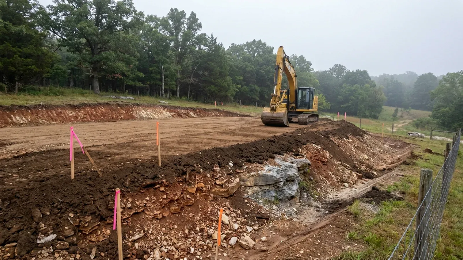
The expensive surprises are in the ground, not the building
What moves a Missouri budget is usually below grade, and which problem you have depends on where in the state you are. Across the Ozarks it is karst: the Department of Natural Resources maps more than sixteen thousand sinkhole points, and what matters there is what is under the slab rather than what the slab sits in. Across the north and centre it is claypan — dense, slow-draining subsoil that perches water above it for months of the year. In the Bootheel it is deep alluvium carrying the highest seismic demand in the state, where the same soils modelled for liquefaction attack post embedment and slab bearing rather than the frame above them. The same ground then decides the septic system, and Missouri does not run that on a percolation test alone: the rule allows a perc test or a soil morphology examination in a profile pit, and the authority reviewing your parcel picks which. Where a drainfield sits near a sinkhole's drainage, perc testing on its own is not permitted at all. Whether that authority is the state or your own county is itself a local question, and it changes what you have to file. So the site work, the foundation and the drainfield get resolved together rather than one at a time. We price the dirt before we price the building.
What we build in Webster County
All nine services are available in Webster County. What a build costs depends far more on the parcel than on square footage, so we price against your land rather than publishing a rate card.
Custom Plans
Barndominium floor plans drawn to your parcel and your soil, and to whichever Missouri authority — a county, a city, or none at all — will review them.
Barndominium Kits
Barndominium shell packages delivered to your Missouri land, drawn to the criteria your own county or city publishes — because the state publishes none.
Turnkey Builds
Start to finish barndominium construction in Missouri: the permits that genuinely apply, site work, shell and interior finish, under one contract.
What a build looks like
Three stages every Webster County project passes through, from a raw parcel to a finished home. Site work first, because that is where the budget is decided.
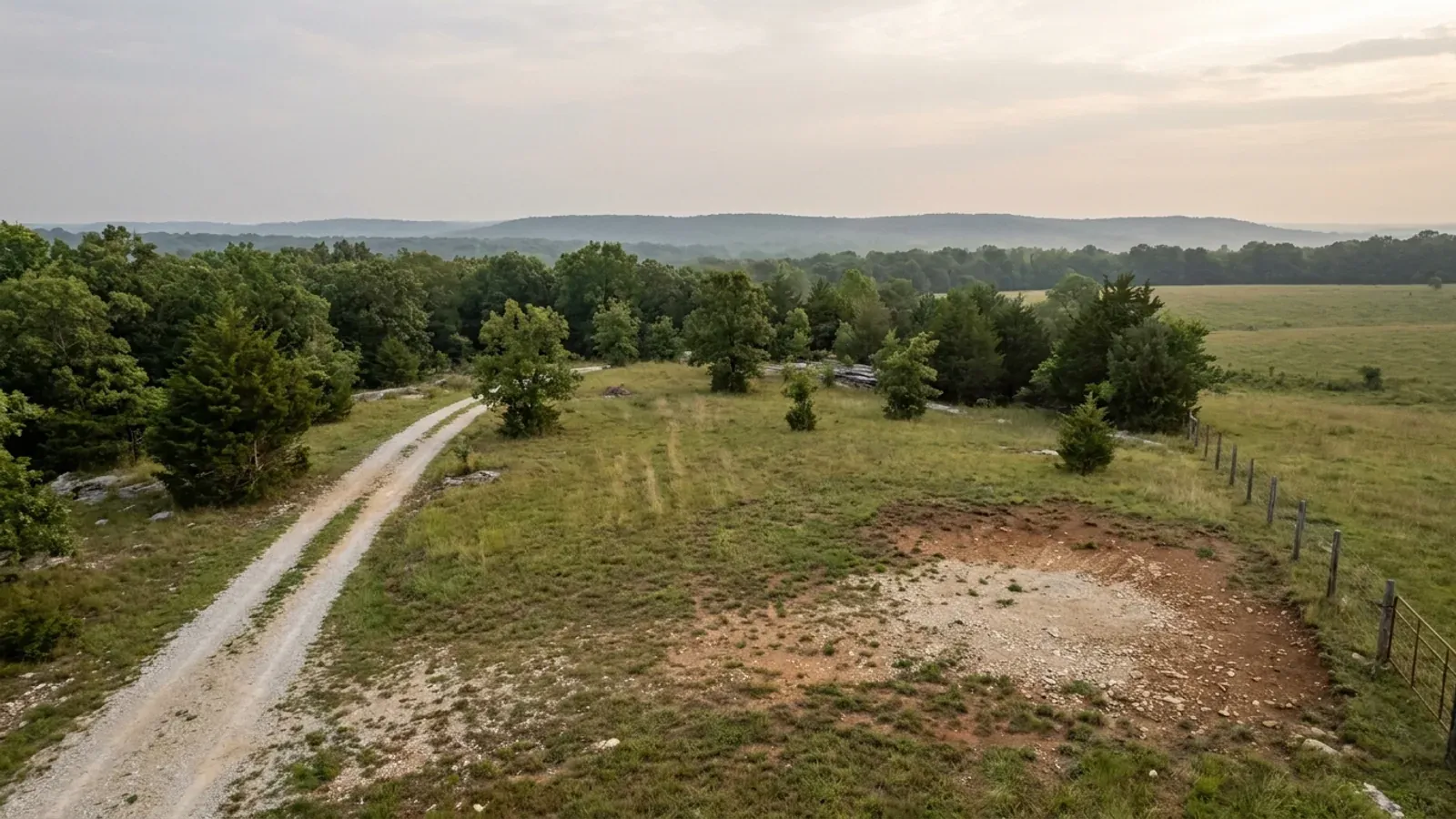
The parcel
Zoning, setbacks, flood zone and utility access get checked before anything is drawn.
Pad and permit
Clearing, grading and a compacted pad, while the submittal works through whichever office issues the permit where you are building.
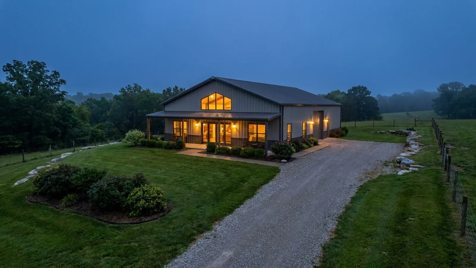
Frame to finish
Shell erected and dried in, then systems, insulation and interior finish through to CO.
Those are the rules where you are building in Webster County. Tell us what you want to build and we will draw it to them.
Where we build around Webster County
Webster County and the rural land around it. The buildable acreage for a project this size usually sits outside the city limits, which is frequently what changes who issues your permit.
Keep reading
The questions that usually come next once you know what Webster County allows.
Barndominium Cost Guide
Sourced per-square-foot ranges by tier and by size, with a calculator built on the same figures.
Read itIs It Legal in Missouri?
Classification, zoning, the HOA gate, and why "nonresidential farm building" does not cover a home.
Read itHow Long Does It Take?
Census build-duration data, and what actually sets the permit clock where you are building.
Read itNearby areas we build in
Others we cover nearby, and they are not interchangeable. One may be a county with an adopted building code, another a county with no legal authority to have one, another a city that permits inside its own limits whichever county the land sits in. So the office that issues the permit, whether anyone inspects the work at all, the fees, the zoning and the design figures can differ from one card to the next — sometimes across a single property line.
Building in Webster County: common questions
9 questions we get asked most often about building in Webster County. If yours is not on the list, ask it directly.
Do I need a building permit to build a barndominium in Webster County?
If there is no building code, does anything get inspected?
Is it true that over three acres I do not need a septic permit here?
What wind speed, snow load and frost depth should my building be designed to?
Can I build a shop bigger than the house?
Is metal siding or a metal roof allowed on a house here?
How deep do the footings need to go, and will I hit rock?
What has to happen first if I have just bought raw land?
Rogersville is in two counties — does that change anything for me?
Building in Webster County?
Start with the plan. Tell us what you want to build and we will draw it, then confirm which office issues the permit for your parcel, what it will let you put there, and what wind load it has to meet. That conversation costs nothing.