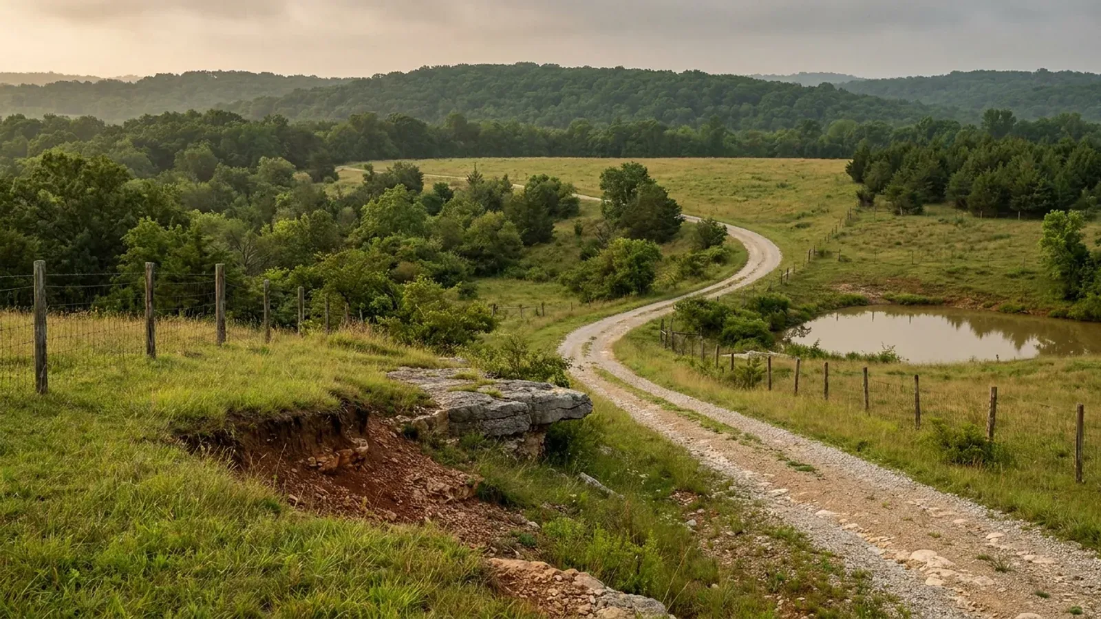
Barndominium Builders in Warren County, MO
Warren County gives a landowner two answers that most people assume travel together, and here they do not. It is a third-classification county, so RSMo 64.170 — which empowers only "the county commission in all counties of the first and second classification" — gives it no authority to adopt a building code at all, and RSMo 64.205 says the same thing from the other side. The county states it in its own published handout: "Warren County Missouri is a third class county. As such there are no building codes and no final inspections are done by the county to determine if a structure is habitable." But zoning is a separate power granted by different sections, and Warren County exercised it. Its Zoning Order is adopted under RSMo 64.800 to 64.905, the Master Plan dates from 21 March 1983, the Zone Order from 27 November 1985, and the current zoning map and districts took effect 17 September 2012 after ten township meetings. So there are eleven zoning districts here, a three-acre minimum lot and one dwelling per three acres in the Agricultural district, a fifty-foot structure setback from any road or easement, and a Structure Permit required for every structure "regardless of size or use" — none of which involves anyone inspecting your framing. What actually holds up a build is the electric sticker: the county issues a temporary sticker for construction power with the Structure Permit, and releases the permanent one only after the Warren County Sanitarian passes the final inspection on the septic system. Cuivre River Electric Cooperative's own installation guide sends members to Warren County Planning and Zoning to have the meter base inspected, and prints "Not required" against neighbouring Lincoln County on the same page. On 428.592 square miles the county carries 534 farms and 115,250 acres in farms at a 216-acre average, and 377 of those 534 holdings are under 180 acres — which is why this is the cheapest acreage inside a St. Louis commute.
Warren County at a glance
- County
- Warren County
- Population
- 38,478
- ZIP codes
- 63348, 63349, 63351, 63357, 63380, 63381, 63383, 63390, 65041
- Site visits
- First site visits anywhere in the county's 428.6 square miles, from the I-70 corridor down to the river bottoms, usually within the week
Building conditions in Warren County
Missouri sets no residential building code and no statewide way of adopting one, so the first question on any parcel is not what the code says — it is whether there is one. Only counties of the first and second classification may adopt a building code at all, and classification is set by assessed valuation rather than population, so a small county can hold the power while a much larger one does not. Zoning is a separate power with its own answer, granted only after a vote of the people and repealable by another. What changes from one jurisdiction to the next is whether the work is inspected, who issues the permit, what that office charges, how the parcel is zoned, and the design figures your drawings have to satisfy.
RSMo 64.170 (effective 28 Aug 2008) and RSMo 64.205 (effective 28 Aug 1963), rendered from revisor.mo.gov/main/OneSection.aspx 6 Sep 2026 — a deliberately bogus section 99.9999 on that host returns the "Are you double clicking links" page with no statute heading, which the real sections do not; Missouri Association of Counties, "Missouri Counties by Classification", published May 2025, mocounties.com/s/Missouri-Counties-by-Classification-2025.pdf, downloaded and text-extracted 6 Sep 2026 (a bogus filename on that host returns a branded PAGE NOT FOUND); Warren County Planning and Zoning, "Structure Setbacks, Effective 9-17-12", warrencountymo.org/wp-content/uploads/2022/01/Zoning-Setbacks.pdf, read from the Internet Archive capture of 26 Jun 2024 (the live county host serves a Cloudflare challenge and is not cited directly); Warren County Planning and Zoning department page, Internet Archive capture of 2 Jan 2026
The Zoning Order for Warren County, Missouri, §1.2 Authority, §3.1, §3.7, §8.1, §8.4 and §13.4, warrencountymo.org/wp-content/uploads/2024/09/2021-Updated-Zoning-Codes-1.pdf, read from the Internet Archive capture of 20 Dec 2024 and text-extracted 6 Sep 2026; Warren County Planning and Zoning, Structure Packet (Rev 03/2021) with Schedule of Fees, and the later Schedule of Fees effective 16 August 2024, warrencountymo.org/wp-content/uploads/2022/02/2022-Structure-Packet.pdf and /2024/08/Fee-Schedule-2024.pdf, read from Internet Archive captures of 14 May 2024 and 22 Dec 2024; RSMo 64.845 and 64.885 (both effective 28 Aug 1978), 64.860 and 64.895, rendered from revisor.mo.gov 6 Sep 2026; Warren County Planning and Zoning department page, Internet Archive capture of 2 Jan 2026
Warren County Planning and Zoning, Structure Packet, Section 1 Steps 3 and 4 and Section 2 Step 4, warrencountymo.org/wp-content/uploads/2022/02/2022-Structure-Packet.pdf, Internet Archive capture of 14 May 2024, text-extracted 6 Sep 2026; Warren County Planning and Zoning, "Electric Only Without A Zoning Permit" form, /2020/03/2019-ElectricOnlyNoPermit.pdf, Internet Archive capture of 14 May 2024; Cuivre River Electric Cooperative, "Rural Residential Service Installation Guide", Form #UG40-7, document-dated 28 April 2026, cuivre.com/sites/default/files/CREC%20UG%2340%20Rural%20Residential%20Guide%202022.pdf, downloaded and text-extracted 6 Sep 2026 (a bogus path on that host returns a genuine 404)
Missouri Department of Health and Senior Services, OWTS Construction Permit Process, county selector set to Warren, health.mo.gov/business-professionals/onsite-wastewater-treatment/owts-construction-permit-process, rendered in a browser and read 6 Sep 2026 — a bogus value on the same county parameter returns no agency block at all, and Warren returns exactly one; Warren County Sanitarian, "On-Site Sewage System Installation/Major Repair Steps" (Rev 01/23), warrencountymo.org/wp-content/uploads/2024/05/New-Repair-Septic-Install-Form-2024-1.pdf, Internet Archive capture of 5 May 2025, text-extracted 6 Sep 2026; The Zoning Order for Warren County, Missouri, §8.4(A); RSMo 701.031 (effective 28 Aug 2005) and RSMo 701.047 as rendered and quoted in research/statewide/code-regime.md §7a, 5 Sep 2026
City of Warrenton, Missouri, Code of Ordinances Title V Chapter 500, §§500.010, 500.020, 500.030, 500.040, 500.310 and 500.320 (adopting ordinances cited in the code: Ord. No. 1341, 9-16-2003; Ord. No. 1994 §I, 9-6-2011; Ord. No. 2003 §I, 9-6-2011; Ord. No. 2411, 6-5-2018; Ord. No. 2403, 6-5-2018; Ord. No. 2533, 7-21-2020), ecode360.com customer WA3466, code current through 2026-04-14, rendered in a browser and read 6 Sep 2026 with the City of Warrenton breadcrumb visible; RSMo 89.020 and RSMo 67.281 as rendered and quoted in research/statewide/code-regime.md §§2g and 4f, 5 Sep 2026
USDA NASS, 2022 Census of Agriculture County Profile, Warren County, Missouri, cp29219.pdf, downloaded from www.nass.usda.gov and text-extracted 6 Sep 2026 (a bogus county number on the same path returns HTTP 404 while this one returns an 873 KB PDF); U.S. Census Bureau, 2024 Gazetteer Files, counties record for GEOID 29219, downloaded from www2.census.gov 6 Sep 2026 (a bogus filename on that host returns "U.S. Census Bureau: Page not found"); U.S. Census Bureau, Vintage 2024 Subcounty Population Estimates, sub-est2024.csv, all county-219 records plus the Foristell city total, downloaded 6 Sep 2026
Also worth knowing before you build in Warren County
- No authority publishes a wind speed, snow load or frost depth for unincorporated land here
- There is no adopted residential code in unincorporated Warren County, so there is no Table R301.2 for anyone to fill in — no design wind speed, no ground snow load, no frost line depth and no climate zone published by any authority with jurisdiction over rural land in this county. That absence is the correct answer, not a gap, and it is worth understanding rather than papering over. Two published figures sit near the question and neither binds anyone outside a city. The Missouri Public Service Commission's 2016 frost depth map, drawn for MANUFACTURED-HOME INSTALLERS, sets its band boundary along Interstate 70 — "Between I-70 and Hwy. 36 = 20 inches" and "Between I-44 and I-70 = 15 inches" — and Interstate 70 runs straight across the middle of this county, through Wright City, Warrenton and Truesdale, so the same county falls in two of the map's bands. The map prints its own note that local jurisdictions may require footings deeper than the PSC does, and the City of Warrenton is a live example: its adopted table says 30 inches, ten to fifteen inches deeper than either PSC band. The USGS building-codes service returns seismic design category C at the county's internal point on ASCE 7-16 at Site Class D, and Warrenton's adopted table independently says C as well. EPA's Map of Radon Zones places this county in Zone 2, a predicted average indoor screening level between 2 and 4 pCi/L, which is a 1993 planning map and not a site measurement.
- Four different foundation problems inside one county line
- This is not karst country and the ground story is not the Ozarks' story. Missouri's Department of Natural Resources publishes a statewide sinkhole layer of 16,001 points, and a point-in-polygon count against the Census boundary for this county returns 8. What the county has instead is four soils that each argue for a different footing. Keswick is the most extensive major component in the soil survey, on map units covering 51,268 acres: taxonomically "Fine, smectitic, mesic Aquertic Chromic Hapludalfs" — smectitic is the shrink-swell clay mineralogy stated in the classification itself — somewhat poorly drained, with a frequently saturated perched zone at 0.3 metre depth from April to June in normal years, saturated hydraulic conductivity of 0.01 to 1.00 micrometres per second, formed in a thin loess cap over a paleosol weathered from glacial till, on slopes of 5 to 25 percent. Mexico, the Central Claypan series, is a major component on another 21,249 acres. Menfro, on 11,729 acres, is the loess: the series description gives loess deposits "ranging from 6 to 20 feet or more thick" on the ridgetops and backslopes adjacent to the Missouri River, well drained and easy to build on but erodible. Down on the floodplain SansDessein covers 7,249 acres — "Fine, smectitic, mesic Fluvaquentic Vertic Endoaquolls", poorly drained, very slow permeability, an apparent water table within 0 to 12 inches of the surface from November to May, and "subject to occasional flooding for long duration due to levee breaks." And on the bluffs the answer is rock: Gasconade is a major component on 27,174 acres with a published depth to bedrock of 4 to 20 inches, and rock outcrop is a major component on map units covering 30,981 acres more.
- The floodplain is where the agricultural exemption stops working
- In FEMA's Community Status Book for Missouri, Warren County is community 290443 and it participates in the National Flood Insurance Program: initial flood hazard boundary map 1 September 1983, initial FIRM 3 April 1985, current effective map date 4 November 2009. So do all six of its municipalities — Warrenton 290648, Wright City 290654, Marthasville 290444, Truesdale 290511, Innsbrook 290284 and Foristell 290902 — and the report notes that Wright City also adopted the Warren County FIRM and floodway map panel. The county runs a Floodplain Development Permit and an Elevation Certificate alongside the Structure Permit, and the Structure Packet says every parcel is checked for floodplain. The Zoning Order goes further: it carries a dedicated Missouri River Flood Plain District, whose stated purpose refers back to an order of the Warren County Court of 28 January 1988 on building regulations for development in special flood hazard areas. This is where the agricultural exemption a buyer is counting on runs out. The exemption that applies to this county is RSMo 64.890(2), inside the same 64.800 to 64.905 programme its Zoning Order is adopted under, and its own words are that the section does not apply "to the raising of crops, livestock, orchards or forestry" nor "to the erection, maintenance, repair, alteration or extension of farm buildings or farm structures used for such purposes in an area not within the area shown on the flood hazard area map." Two limits travel in that one sentence: the exemption follows the USE, and living in a building is not the raising of crops; and inside the mapped flood hazard area it does not apply at all.
- Your 911 address comes before your permit, and the fire district may issue it
- Two steps here surprise people, and both are written down. First, the address. The Warren County Emergency Communications Center at 209 State Highway U in Warrenton states on its own site that it "is the addressing authority for unincorporated Warren County" and that it is authorized by state statute to establish and amend street names and numbers there; requests are completed within 10 business days. The county's Structure Packet lists an address assignment from the 911 Business Office among the items you must bring when you apply — for a residence and for a shed alike — so the address precedes the permit, not the other way round. Second, the fire districts. The county's own Structure Packet carries the note "Warrenton and Wright City Fire Districts require building permits," gives their phone numbers, and says monthly county permit lists are supplied to the local fire districts. The Wright City Fire Protection District confirms its half from its own side: "In Wright City, permits & inspections are handled by the Fire Marshall's Office," with separate residential and commercial permit applications submitted to the district with digital plans. A fire protection district running the building-permit function is unusual, and it is not something a mailing address will tell you.
- The driveway is somebody else's permit, and which one depends on the road
- The county's Structure Packet is unusually direct about this, and it repeats the instruction twice in the same document, once for residences and once for everything else: if you are creating a new entrance point from your property onto a STATE road you must contact the Missouri Department of Transportation, and if the new entrance will be onto a COUNTY road you must contact the Warren County Road and Bridge Department. The state side is governed by MoDOT's Engineering Policy Guide Category 941, "Permits and Access Requests", which covers sight distance, traffic impact and entrance design, and whose residential case is the Type I residential driveway; the instrument is an online electronic permitting request rather than a numbered paper form. That distinction matters more here than in most Missouri counties because Interstate 70 and Routes 47, 94 and 19 carry a lot of the frontage buyers are shown, and an outer-lot listing on a state route is a different permit and a different timetable from one on a county road. Neither permit examines the building.
- Zoning here can be voted away, and the ballot reads the other way round
- Whatever the zoning map says today, it rests on a programme the voters can end. Warren County's Zoning Order is adopted under RSMo 64.800 to 64.905, and the termination provision for that programme is RSMo 64.900, not the more commonly cited RSMo 64.695. The difference is not cosmetic and it catches people out. Under 64.900 a petition signed by voters equal to five percent of the county's total vote for governor at the last preceding gubernatorial election forces the question onto the ballot in this form: "Shall (county planning, county zoning, or county planning and zoning) be continued?" A YES vote CONTINUES the programme; a NO vote terminates it. And on termination the statute is absolute — "Any resolution, ordinance or regulation adopted under the program … shall be void and of no effect from and after the termination of the program." Not merely unenforced. Void. So the three-acre minimum, the fifty-foot setback and the Structure Permit are all creatures of a programme that a petition and a majority could remove, while the absence of a building code is fixed by the county's classification and could not be removed by any vote at all.
- The Zoning Order regulates use and setbacks, not siding — and the metal rule nearby is Warrenton's, in a business district
- A county that may not adopt a building code has one place left where a rule about exterior materials could live, and that is its Zoning Order. Warren County's runs fourteen articles and four appendices — general provisions, definitions and the use grid, districts and zoning map, supplementary use regulations, non-conforming situations, solid waste, automobile graveyards and junkyards, permits and plat approval, amendments, telecommunication towers, billboards and signs, jurisdiction and administrative mechanisms, enforcement and review, with appendices for mobile home and recreational vehicle parks, subdivision regulations, planned unit development and a solar energy overlay district. None of it restricts what a house is clad in. There is no prohibited-materials list, no minimum masonry percentage, no minimum roof pitch on a dwelling, no minimum eave projection, no minimum dwelling floor area and no architectural or design review; the word corrugated does not appear in the Order at all, and the overlay district it creates is a solar energy overlay. The one appearance standard that reaches a residence is a definition rather than a district rule, and it is a small irony: a "Mobile Home (Double)" must be at least twenty-four feet by forty feet "with a pitched roof and siding and roofing materials similar in appearance as provided in the building code for single family dwellings" — a clause pointing at a building code this county is not permitted to have. Cross into Warrenton and there is a metal rule, but read where it applies. Section 405.110(G)(2), in the "RC-1" Planned Business District along Highway 47 and Cherry Lane, encourages decorative masonry, glass and decorative metal panels and then provides that "Non-decorative prefabricated metal and non-decorative cinder block building exterior is prohibited", with elevations showing materials and colours going to the Planning and Zoning Commission — and detached single-family residences are among the uses that district permits on its Cherry Lane frontage, so anyone buying a lot there should know it. The city's newer design standards, Section 405.289 added by Ordinance No. 2957 on 19 August 2025, name no materials at all and apply by their own words only "to all persons or entities desiring to construct single-family attached dwellings in the 'R-3' High-Density Residential District as part of a conditional use permit". Neither instrument reaches a detached house on acreage outside the city.
Missouri Public Service Commission, "2016 State of Missouri Frost Depth Map", psc.mo.gov/CMSInternetData/ManufacturedHousing/Installer/, band text and the map's own caveat extracted 5 Sep 2026 and recorded in research/statewide/code-regime.md §6c; City of Warrenton City Code §500.320 Table R301.2(1), ecode360.com WA3466, read 6 Sep 2026; USGS building-codes web service, earthquake.usgs.gov/ws/building-codes/asce7-16/calculate, queried 6 Sep 2026 for 38.761902 / -91.159306, Risk Category II, Site Class D (an out-of-region coordinate returns request status "error" with a bounds message); EPA Map of Radon Zones county spreadsheet, EPA 402/A-16/001, parsed 5 Sep 2026 and recorded in research/statewide/site-conditions.md §9, where this county appears in neither the 11-county Zone 1 list nor the 7-county Zone 3 list
USDA-NRCS Soil Data Access, survey area MO219, major-component acreage by map unit, queried 6 Sep 2026 (a bogus area symbol returns an empty result); USDA-NRCS Official Series Descriptions KESWICK, MENFRO, SANSDESSEIN and GASCONADE, soilseries.sc.egov.usda.gov, fetched 6 Sep 2026 (a bogus series returns HTTP 404); Missouri DNR / Missouri Geological Survey sinkhole layer, gis.dnr.mo.gov/host/rest/services/geology/sinkholes/MapServer/1 — statewide count 16,001 and a point-in-polygon count of 8 against the U.S. Census TIGERweb boundary for GEOID 29219, both queried 6 Sep 2026 (a bogus object id returns a count of 0); the claypan series list for this county from research/statewide/site-conditions.md §6a
FEMA Community Status Book Report for Missouri, fema.gov/cis/MO.html, report dated 09/06/2026, downloaded and parsed that day — a bogus state code on the same path returns HTTP 404, and the column meanings are taken from the report's own header row; RSMo 64.890 (effective 4 Mar 1991), rendered from revisor.mo.gov/main/OneSection.aspx 6 Sep 2026; The Zoning Order for Warren County, Missouri, §3.6; Warren County Planning and Zoning, Structure Packet Section 1 Step 2 and Floodplain Development Permit form, Internet Archive captures of 14 May 2024 and 2026
Warren County Emergency Communications Center, Addressing page, warrencounty911.org/addressing, fetched 6 Sep 2026 (a bogus path on that host returns HTTP 404); Warren County Planning and Zoning, Structure Packet, "When Applying — Bring the Following" and the fire-district note, Internet Archive capture of 14 May 2024; Wright City Fire Protection District, Permits and Schedule Inspections page, wrightcityfire.com/permits, fetched 6 Sep 2026 (a bogus path on that host returns HTTP 404)
Warren County Planning and Zoning, Structure Packet, Section 1 and Section 2 road-entrance notes, warrencountymo.org/wp-content/uploads/2022/02/2022-Structure-Packet.pdf, Internet Archive capture of 14 May 2024, text-extracted 6 Sep 2026; MoDOT Engineering Policy Guide Category 941 "Permits and Access Requests", epg.modot.org/index.php/Category:941_Permits_and_Access_Requests, fetched 6 Sep 2026 — a bogus category on that host returns HTTP 404 — with the entrance-type taxonomy recorded in research/statewide/code-regime.md §7f
RSMo 64.900 (effective 7 Apr 1988) and RSMo 64.845 (effective 28 Aug 1978), rendered from revisor.mo.gov/main/OneSection.aspx 6 Sep 2026; The Zoning Order for Warren County, Missouri, §1.2 Authority, citing RSMo 64.800 through 64.905, and §14.1 citing RSMo 64.880, read from the Internet Archive capture of 20 Dec 2024
Zoning Order of Warren County, Missouri, effective 1 February 2021 and carrying its own amendment notes for Commission Order 08-2023 of 11 May 2023 and Commission Order 27-2023 of 3 October 2023 — Articles I to XIV and Appendices A to D, 131 pages, read in full from the county's posted "2021 Updated Zoning Codes" PDF through the Internet Archive capture of 20 December 2024, the county's live host answering a real path and a deliberately bogus control path identically so that neither can be told from the other; Commission Order 08-2023 is an image-only scan and was rasterised and read page by page, and amends Article XIII Section 13.1, Appendix B Section 1.2 and two Use Grid entries only; City of Warrenton Code Sections 405.110 and 405.289 (Ord. No. 2957, 19 August 2025), eCode360 custId WA3466, currency line "Includes legislation through 04-14-2026", read 9 September 2026 with the jurisdiction taken from the page title returned in the same response as the text, and both quoted passages re-read from an independently fetched copy of the chapter
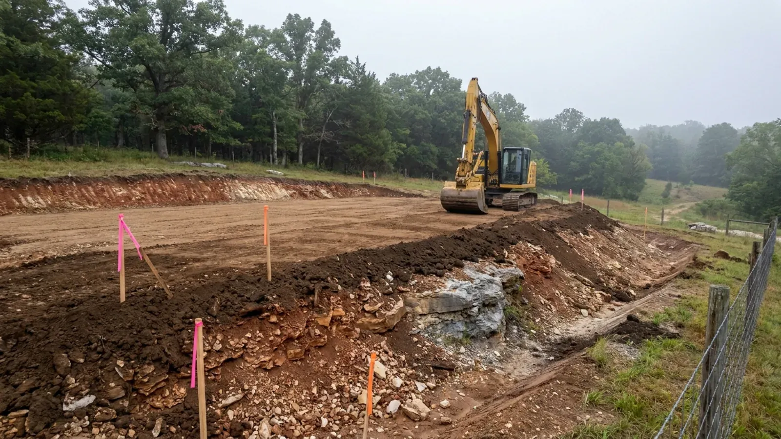
The expensive surprises are in the ground, not the building
What moves a Missouri budget is usually below grade, and which problem you have depends on where in the state you are. Across the Ozarks it is karst: the Department of Natural Resources maps more than sixteen thousand sinkhole points, and what matters there is what is under the slab rather than what the slab sits in. Across the north and centre it is claypan — dense, slow-draining subsoil that perches water above it for months of the year. In the Bootheel it is deep alluvium carrying the highest seismic demand in the state, where the same soils modelled for liquefaction attack post embedment and slab bearing rather than the frame above them. The same ground then decides the septic system, and Missouri does not run that on a percolation test alone: the rule allows a perc test or a soil morphology examination in a profile pit, and the authority reviewing your parcel picks which. Where a drainfield sits near a sinkhole's drainage, perc testing on its own is not permitted at all. Whether that authority is the state or your own county is itself a local question, and it changes what you have to file. So the site work, the foundation and the drainfield get resolved together rather than one at a time. We price the dirt before we price the building.
What we build in Warren County
All nine services are available in Warren County. What a build costs depends far more on the parcel than on square footage, so we price against your land rather than publishing a rate card.
Custom Plans
Barndominium floor plans drawn to your parcel and your soil, and to whichever Missouri authority — a county, a city, or none at all — will review them.
Barndominium Kits
Barndominium shell packages delivered to your Missouri land, drawn to the criteria your own county or city publishes — because the state publishes none.
Turnkey Builds
Start to finish barndominium construction in Missouri: the permits that genuinely apply, site work, shell and interior finish, under one contract.
What a build looks like
Three stages every Warren County project passes through, from a raw parcel to a finished home. Site work first, because that is where the budget is decided.
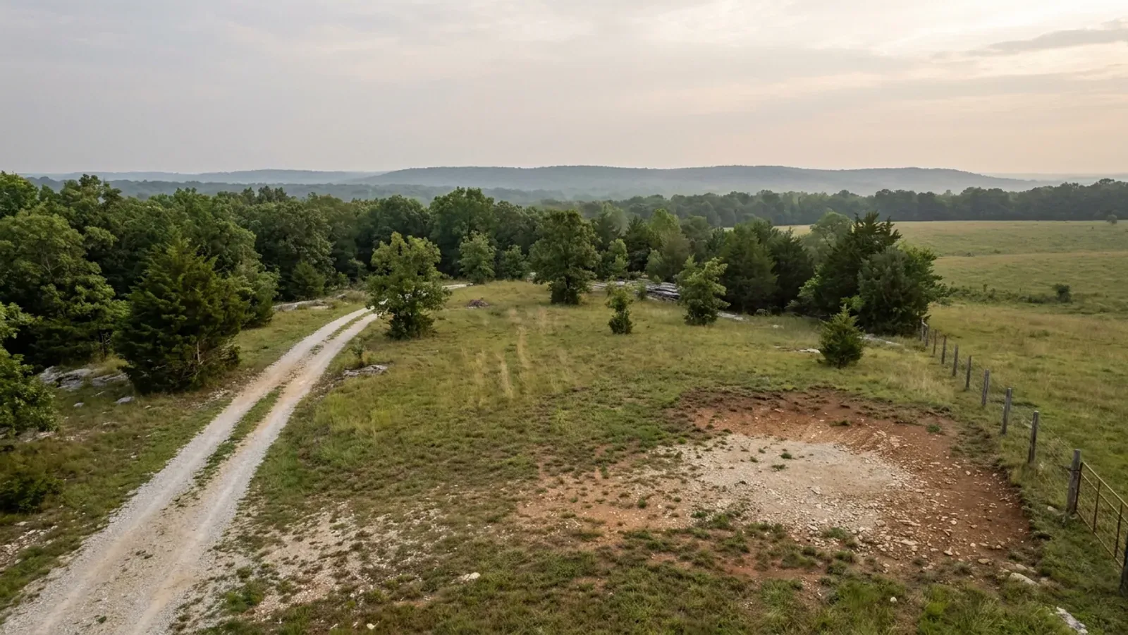
The parcel
Zoning, setbacks, flood zone and utility access get checked before anything is drawn.
Pad and permit
Clearing, grading and a compacted pad, while the submittal works through whichever office issues the permit where you are building.
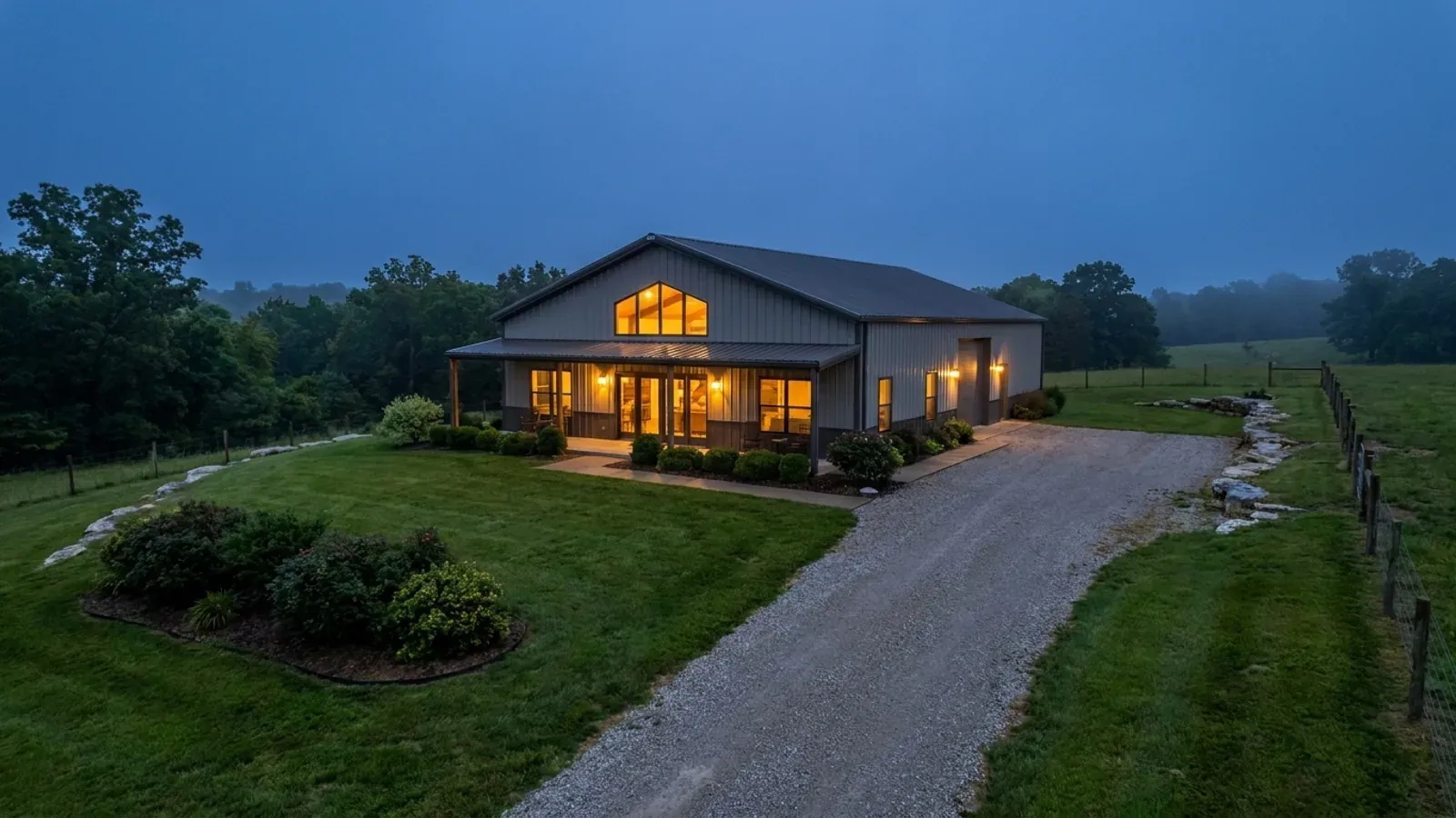
Frame to finish
Shell erected and dried in, then systems, insulation and interior finish through to CO.
Those are the rules where you are building in Warren County. Tell us what you want to build and we will draw it to them.
Where we build around Warren County
Warren County and the rural land around it. The buildable acreage for a project this size usually sits outside the city limits, which is frequently what changes who issues your permit.
Keep reading
The questions that usually come next once you know what Warren County allows.
Barndominium Cost Guide
Sourced per-square-foot ranges by tier and by size, with a calculator built on the same figures.
Read itIs It Legal in Missouri?
Classification, zoning, the HOA gate, and why "nonresidential farm building" does not cover a home.
Read itHow Long Does It Take?
Census build-duration data, and what actually sets the permit clock where you are building.
Read itNearby areas we build in
Others we cover nearby, and they are not interchangeable. One may be a county with an adopted building code, another a county with no legal authority to have one, another a city that permits inside its own limits whichever county the land sits in. So the office that issues the permit, whether anyone inspects the work at all, the fees, the zoning and the design figures can differ from one card to the next — sometimes across a single property line.
Building in Warren County: common questions
8 questions we get asked most often about building in Warren County. If yours is not on the list, ask it directly.
Does Warren County have a building code, and could it adopt one?
Then what stops me building whatever I like on my acreage?
Is there county zoning, and what does it actually require on an agricultural parcel?
The building is agricultural. Doesn't that exempt it?
My lot is more than three acres. Doesn't that exempt me from the septic permit?
What changes if my land is inside Warrenton, Wright City, Marthasville or Truesdale?
If nobody publishes wind, snow and frost figures for my land, what do I build to?
What should I look at in the ground before I make an offer here?
Building in Warren County?
Start with the plan. Tell us what you want to build and we will draw it, then confirm which office issues the permit for your parcel, what it will let you put there, and what wind load it has to meet. That conversation costs nothing.