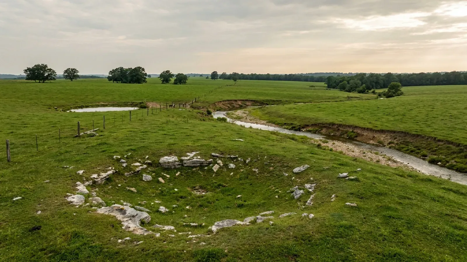
Barndominium Builders in Stone County, MO
Stone County is 463.8 square miles of land wrapped around 46.8 square miles of water, and almost every question a buyer asks here turns on which of three regimes the parcel sits in. The first is the county itself. Stone is a third-classification county, and RSMo 64.170 empowers only first- and second-classification county commissions to adopt building regulations, with RSMo 64.205 stating the same limit from the other direction. So the county cannot adopt a building code — not "has not," but may not, until its assessed valuation moves its classification. What it does have is zoning, adopted under an entirely different statute: the Stone County Zoning Regulations open by reciting the authority of RSMo 64.800 through 64.895, the county-planning act that reaches second-, third- and fourth-class counties after a vote of the people. The practical result surprises people. The county does issue a building permit, it charges twenty cents a square foot of footprint with no maximum, and an inspector comes out to the staked site before construction starts — but the permit tests setbacks, lot area, use and the septic approval, not framing, and there is no adopted construction code behind it. The second regime is the lake towns. Kimberling City runs the 2021 International Residential Code and fills in its own design table with a 30-inch frost line; Reeds Spring moved to the 2018 editions on 1 January 2026; Branson West still runs the 2012 I-Codes. Three code generations inside fifteen miles of shoreline, and none of them applies one foot outside its own limits. The third regime is federal. Table Rock is a US Army Corps of Engineers project, and above elevation 936 feet the Corps holds flowage easements over privately deeded ground on which no structure for human habitation may be built. That is the sharpest single fact on this lake, and it applies to land a buyer holds by deed and pays tax on.
Stone County at a glance
- County
- Stone County
- Population
- 32,630
- ZIP codes
- 65656, 65686, 65737, 65633, 65675, 65681, 65624, 65611, 65747, 65616, 65728, 65669
- Site visits
- Same-week site visits across Stone County — Galena and the James River bottoms, Crane and Hurley in the north, Reeds Spring and Branson West on Highway 13 and 76, Kimberling City and the Highway 13 bridge, and the Table Rock shoreline south and west through Lampe, Blue Eye, Cape Fair and Shell Knob
Building conditions in Stone County
Missouri sets no residential building code and no statewide way of adopting one, so the first question on any parcel is not what the code says — it is whether there is one. Only counties of the first and second classification may adopt a building code at all, and classification is set by assessed valuation rather than population, so a small county can hold the power while a much larger one does not. Zoning is a separate power with its own answer, granted only after a vote of the people and repealable by another. What changes from one jurisdiction to the next is whether the work is inspected, who issues the permit, what that office charges, how the parcel is zoned, and the design figures your drawings have to satisfy.
RSMo § 64.170, read in full from revisor.mo.gov 8 September 2026 (Effective — 28 Aug 2008); RSMo § 64.205, read in full from revisor.mo.gov 8 September 2026 (Effective — 28 Aug 1963); RSMo § 64.800, read in full from revisor.mo.gov 8 September 2026 (Effective — 28 Aug 1990) and § 64.845 (Effective — 28 Aug 1978), both of which reach "any county of the second, third or fourth class" after a vote of the people; Missouri Association of Counties, "Missouri Counties by Classification," published May 2025 (mocounties.com/s/Missouri-Counties-by-Classification-2025.pdf), 73,901-byte PDF downloaded and text-extracted 8 September 2026; the list records "TOTAL COUNTIES 114," places STONE in "CLASS 3 (TOTAL 89)," and carries the note "CLASS 4 COUNTIES OPERATE UNDER THE LAWS OF CLASS 2 COUNTIES"; Stone County Zoning Regulations, Article 1 § 1 and Article 26 §§ 1–4, PDF published on the county’s own Planning & Zoning Regulations page (stonecountymo.gov/Regs.htm) and downloaded and read 8 September 2026; the document’s running header reads "Amendments current through November 13 2014"
Stone County Residential Building Permit Application (stonecountymo.gov/Doc/PZ/Forms/RESIDENTIAL BUILDING PERMIT APPLICATION1.pdf), and Stone County Planning and Zoning Fee Schedule (Doc/PZ/Forms/PLANNING AND ZONING PERMIT FEES1.pdf), both linked from the county’s "Forms and Information By Department" index and downloaded and read 8 September 2026; Stone County Zoning Regulations, Article 3 §§ 10 and 15 and Article 26 §§ 3–5, PDF published on the county’s own Planning & Zoning Regulations page (stonecountymo.gov/Regs.htm) and downloaded and read 8 September 2026; the document’s running header reads "Amendments current through October 26 2023 (Article 3) and November 13 2014 (Article 26)"
City of Kimberling City, Municipal Code §§ 500.010, 500.020, 500.030 and 500.040, read from eCode360 8 September 2026 with the page title captured in the same request and verified as ending "Kimberling City, MO"; history line Ord. No. 328 of 12-16-2008, Ord. No. 483 of 8-4-2020, Ord. No. 511 of 8-11-2021, Ord. No. 543 of 6-21-2023 for the adoption sections and Ord. No. 514 of 11-2-2021 for the amendment section, and re-read independently from a second node the same day with identical text; City of Reeds Spring Municipal Code ch. 500 art. I §§ 500.010, 500.050 and 500.060, read from eCode360 8 September 2026, together with Ordinance No. 2026-01 and Ordinance No. 2026-02 (both adopted 15 January 2026, effective 1 January 2026), downloaded as signed PDFs from the platform’s own new-laws panel and read the same day; City of Branson West Municipal Code ch. 500 art. II § 500.020 and art. III § 500.080 (Ord. No. 11-2016, 11-8-2016; Ord. No. 46-2007; Ord. No. 11-110), read from eCode360 8 September 2026 with the page title verified as "City of Branson West, MO" in the same request
U.S. Army Corps of Engineers, Little Rock District, "2020 Shoreline Management Plan, Supplement to the Table Rock Lake Operational Management Plan," August 2020, 5,025,270-byte PDF downloaded from swl.usace.army.mil and text-extracted 8 September 2026, sections "Project Information" and "Flowage Easement"; U.S. Army Corps of Engineers, Little Rock District, Table Rock Lake — Shoreline Management page, retrieved 8 September 2026 with the page title captured in the same evaluation and verified as "Little Rock District > Missions > Recreation > Lakes > Table Rock Lake > Shoreline Management", sections "Flowage Easement," "Project Boundary Line" and "Shoreline Use Permits"; Stone County Zoning Regulations, Article 3 § 10, PDF published on the county’s own Planning & Zoning Regulations page (stonecountymo.gov/Regs.htm) and downloaded and read 8 September 2026; the document’s running header reads "Amendments current through October 26 2023"; Stone County Residential Building Permit Application (stonecountymo.gov/Doc/PZ/Forms/RESIDENTIAL BUILDING PERMIT APPLICATION1.pdf), and Stone County Planning and Zoning Fee Schedule (Doc/PZ/Forms/PLANNING AND ZONING PERMIT FEES1.pdf), both linked from the county’s "Forms and Information By Department" index and downloaded and read 8 September 2026
Stone County Health Code, Onsite Wastewater Treatment Systems Ordinance, Division 5, effective 1 September 2007 and revised 9 March 2009, by order of the Stone County Commission and the Stone County Health Department Board of Trustees, PDF linked from the department’s current Septic System Information page (stonecountyhealthdepartment.com/septic-system-information/) and downloaded and read 8 September 2026, §§ 5.1.7, 5.3.5, 5.3.6, 5.3.7, 5.4.5, 5.4.7 and 5.4.22; Stone County Health Department Septic System Information page (stonecountyhealthdepartment.com/septic-system-information/), rendered and read 8 September 2026; Missouri Department of Health and Senior Services, OWTS Construction Permit Process county selector (health.mo.gov/business-professionals/onsite-wastewater-treatment/owts-construction-permit-process?county=Stone), requested and read 8 September 2026; the server-rendered authority block returns Agency: Stone County Health Dept., Authority Type: Ordinance, 109 E 4th Street, Galena, MO 65656, (417) 357-6134; RSMo § 701.031, read in full from revisor.mo.gov 8 September 2026 (Effective — 28 Aug 2005); RSMo § 701.047 (Effective — 28 Aug 1994), which preserves a county’s power to adopt standards more restrictive than the state’s
Stone County Zoning Regulations, Article 4 § 25 and Article 7 § 2.E, PDF published on the county’s own Planning & Zoning Regulations page (stonecountymo.gov/Regs.htm) and downloaded and read 8 September 2026; the document’s running header reads "Amendments current through December 13 2022 (Article 4) and November 13 2014 (Article 7)"; Stone County Residential Building Permit Application (stonecountymo.gov/Doc/PZ/Forms/RESIDENTIAL BUILDING PERMIT APPLICATION1.pdf), and Stone County Planning and Zoning Fee Schedule (Doc/PZ/Forms/PLANNING AND ZONING PERMIT FEES1.pdf), both linked from the county’s "Forms and Information By Department" index and downloaded and read 8 September 2026; Stone County Health Department, Lodging Establishment Inspections page (stonecountyhealthdepartment.com/lodging-establishment-inspections/), rendered and read 8 September 2026, "Vacation Home Rental" section; City of Kimberling City, Municipal Code § 400.516(A), read from eCode360 8 September 2026 with the page title captured in the same request and verified as ending "Kimberling City, MO"; history line Ord. No. 509, 8-11-2021; Southern Stone County Fire Protection District, "Application for Plan Review and Occupancy Permit with the Fire Marshals Office" and its attached application-process packet (sscfpd.org/wp-content/uploads/2020/03/Application-for-plan-review-and-occupancy-Fillable-03-11-2020.pdf, each page stamped "Revised 01/09/2020"), linked from the district’s Inspections & Permits page and downloaded and read 8 September 2026
Also worth knowing before you build in Stone County
- The county code has no exterior-material rule, no roof pitch and no eave requirement for a site-built house — the city does
- A full read of the Stone County Zoning Regulations for exterior materials, roof pitch, eave projection, design review and minimum dwelling floor area returns almost nothing that reaches a site-built single-family dwelling in the districts where acreage actually exists. There is no prohibition on metal siding or metal roofing anywhere in the A-1, A-R or RR-1 districts. There is no minimum roof pitch in those districts. There is no eave requirement and no architectural or design review for dwellings. The corrugated-metal rules that do exist are scoped tightly and it matters where: Article 9 (UR-1 Urban Residence) and Article 10 (R-1 Suburban Residence) each require, of "each manufactured home in the subdivision," a roof pitched at least three in twelve, roofing similar to conventional residences "excluding corrugated aluminum, corrugated fiberglass or metal roofing materials," a roof overhang between one foot and thirty inches, and siding "excluding high-gloss finish, smooth, ribbed or corrugated metal, or plastic panels." Those are manufactured-home standards inside manufactured-home subdivisions in two urban districts, and they do not reach a site-built house. The one floor-area figure in the county code is in the A-1 district table, whose "Dwelling’s 1st Floor Minimum Area" column carries a single entry of 640 square feet; the A-R and RR-1 tables have no such column at all. Inside Kimberling City the answer inverts. Municipal Code § 400.521(B) provides that "No principal structure in any residential district shall be constructed with any portion thereof utilizing sheet metal, including smooth, ribbed, or corrugated metal, as exterior surface or window treatments." That is a general rule about principal structures in residential districts, not a manufactured-home rule, and a stock steel package does not clear it. Its stated scope is the residential districts; the city’s accessory-structure section by its own terms applies to all districts "exclusive of the ‘A-1’ Agriculture District."
- The county caps accessory buildings at nothing at all. Kimberling City caps them at fifteen feet.
- For a buyer who wants a shop bigger than the house, the two jurisdictions could hardly be further apart. Stone County’s operative Article 3, as amended through 26 October 2023, contains no accessory-building floor-area cap, no lot-coverage cap for accessory buildings and no ratio between shop and dwelling. What constrains an outbuilding is geometry and money: 25-foot front and rear yards, 10-foot side yards, 25 feet from any Corps of Engineers property line, no detached structure closer than 10 feet to the principal structure, and twenty cents a square foot with no maximum. The one place the county does regulate the shop-to-house relationship is narrow and conditional — Article 4 Section 24 allows home occupations in agricultural districts by conditional use permit and requires that a detached garage or accessory building used for one "must not be larger than fifty (50) percent of the floor area of the dwelling," be on the same tract, and sit more than fifty feet from the dwelling. That rule is about the occupation, not about the building. Kimberling City regulates the same thing by height instead of area: § 400.522(D) provides that accessory structures "shall not exceed fifteen (15) feet in height from finished floor grade to the top of the structure," they must sit at least ten feet from the primary structure and from each other, they count toward the lot’s maximum building coverage, none may be constructed before the main building has been commenced or used before the main building is finished, carports without walls are prohibited outright, and shipping or storage containers are not permitted in residentially zoned districts or on property whose primary use is residential — they are limited to the I-1 Light Industrial and A-1 Agriculture districts. A fifteen-foot overall height is the binding constraint on almost any building meant to take an RV or a boat on a lift.
- The fire district permits and inspects every new building here — on a fire code, not a residential one
- The Southern Stone County Fire Protection District covers roughly 280 square miles of the southern county, the largest part of Table Rock Lake and an estimated district population it puts at about 31,000, from its office at 10965 E. State Highway 76 in Branson West. Its permit packet states that "All construction related projects (renovations, change of occupancies with interior alterations, and new construction) are required to be permitted and inspected by the Office of the Fire Marshal," and it prices the work: an application fee with a $50 minimum, then $4.00 per $1,000 of project cost for the first $250,000, $2.00 per $1,000 for the next $750,000 and $1.00 per $1,000 above $1,000,000, plus $150 for a fire sprinkler system, $100 for a centralized fire alarm system and $50 for a commercial cooking hood suppression system. What the district has adopted is a fire code, not a residential building code: the packet states twice that the office "is currently utilizing and has adopted the 2015 International Fire Code and all codes and standards referenced within these codes such as NFPA and ASTM." That distinction is the whole of RSMo 321.228, which makes a fire protection district "without power, authority, or privilege to enforce or implement a residential construction regulatory system" inside a city, town, village or county that adopts, implements and enforces one itself, while leaving districts final authority over hydrant location and specification, hydrant flow rates and fire lanes, and the right to inspect alteration, enlargement, replacement or repair of a one- or two-family dwelling without charging for it. Adopting the International Fire Code is not the thing that section reaches. Two of the district’s requirements have real cost on rural acreage. It has adopted NFPA 1142, the standard for water supplies for suburban and rural fire fighting, "due to limited water availability in certain areas of our county," and states that a water source "shall be required on ALL new construction projects" — the construction permit application asks for tank size in gallons per NFPA 1142, and the drafting connection must be a 6-inch male National Fire Thread, or a 5-inch Stortz connection where the source is pressure-fed or gravity-fed. And fire department access to that water source must meet a 12-foot roadbed, a 50-foot centreline curve radius and a maximum sustained grade of 8 percent — a demanding number on the kind of steep, benched lakefront ground that makes up much of this county.
- Only twelve percent of Table Rock’s 758 miles of shoreline can take a new private dock
- A lakefront parcel and a boat dock are not the same purchase, and the Corps’ 2020 Shoreline Management Plan is where the difference is written down. At the top of the 915-foot conservation pool Table Rock covers 42,644 acres of water and 758 miles of shoreline, inside a project of 62,207 total acres. The Plan allocates every mile of that shoreline, and a new private floating facility may only be considered in a Limited Development Area. There are 91.3 miles of Limited Development Area, 12.0 percent of the total — and the Plan states flatly that "Requests for enlarging an existing LDA or adding a new LDA will not be accepted or approved." Another 6.8 miles are Restricted Limited Development Area, honouring existing docks, where "No new private floating facilities will be permitted." 76.3 miles are Marina Buffer Area, 40.6 miles are Public Recreation Area where no new private permits will issue, about a mile is Prohibited Access, and the largest allocation by a wide margin is Protected Shoreline Area at 542.2 miles, 71.5 percent of the lake, where land access and boating are permitted but "private floating recreation facilities may not be moored." Where a permit is available, the published fees are $30 for a boat dock and $10 for vegetation management, both valid five years and both non-transferable and non-refundable. The Corps is also blunt about what waterfront ownership does not buy: "Ownership of private land near the lake or adjoining government property does not convey any exclusive rights to use of the lake or adjoining public lands." Most of the project boundary has been surveyed and monumented with 3½-inch brass caps stamped with the monument number, year and agency, each with a five-foot white steel fence post set about a foot away. Stone County adds its own layer for dock parking: Zoning Regulations Article 25 makes a boat dock parking lot a conditional use in any district, caps each application at 14 spaces, and requires a scale site plan sealed by a registered civil engineer certifying that access roads and parking lots are designed to control erosion and stormwater runoff.
- Bedrock inside twenty inches on about one acre in eight — measured, not assumed
- "The Ozarks are all rock" is a generalisation that does not survive measurement, and the measurement for Stone County lands between two very different neighbours. USDA-NRCS soil survey area MO209 covers 326,848 acres in 56 map units. Lithic bedrock within about twenty inches — 51 centimetres — is mapped on 38,947 component-percent-weighted acres, 11.9 percent of the survey area; within forty inches it is 22.4 percent. Compare Greene County to the north at roughly 4 percent within twenty inches and Taney County immediately east at roughly 38 percent, and Stone sits between them at about three times one and less than a third of the other. Fragipan, which dominates the ground around Springfield, is comparatively minor here at 28,328 weighted acres, 8.7 percent. What does dominate is slope and chert. Map units whose slope class starts at 15 percent or steeper cover 156,805 acres, 48.0 percent of the survey area, and the single largest map unit in the county is Hailey-Rueter complex, 15 to 35 percent slopes, very rocky, at 68,990 acres — one acre in five. Map units carrying gravelly, stony, cherty, rocky or Rock outcrop in their names cover 179,084 acres, 54.8 percent, and Rock outcrop is a named component on 8,969 acres. The other striking entry is not soil at all: 30,560 acres of the survey area are mapped simply as Water, which is 9.4 percent of the county and matches the Census Bureau’s independent figure of 46.8 square miles of water against 463.8 square miles of land. None of this substitutes for a soil morphology evaluation on the actual parcel — which is what the county requires anyway — but it does explain why so much of the buildable ground here is benched, and why the fire district’s 8 percent sustained-grade limit on access to a water source is a real design constraint.
- Small holdings, not big spreads — 586 farms averaging 150 acres
- The 2022 Census of Agriculture counts 586 farms in Stone County holding 87,784 acres, at an average of 150 acres — down 7 percent in farm count and 17 percent in land in farms since 2017. Against the county’s 463.8 square miles of land, that leaves most of Stone County outside agricultural use, which here reflects terrain and lake frontage rather than development. The size distribution is the part that matters to someone buying a building site: 42 farms are 1 to 9 acres, 158 are 10 to 49 acres, 248 are 50 to 179 acres, and only 32 exceed 1,000 acres. Land in farms breaks down as 38,750 acres of pastureland, 25,186 acres of woodland, 19,320 acres of cropland and 4,528 acres of other. The average farm here is smaller than in either neighbouring county on the same census — Taney at 229 acres and Barry at 215 — which is another way of saying that the tracts that come up for sale in Stone County are mostly in the range this kind of building is actually built on, and that a five-acre A-1 minimum or a three-and-a-half-acre A-R minimum is not an academic threshold.
- Which fire district covers the address changes the answer, and there are at least five
- Stone County Emergency Services lists the fire departments dispatched in the county: Southern Stone County Fire Department at Branson West, Central Crossing Fire Department at Shell Knob, Crane Fire Department, Hurley Fire Department, Northern Stone / Northeast Barry County at Crane, and Highlandville Fire just over the Christian County line. They are not interchangeable. Southern Stone County Fire Protection District publishes an adopted 2015 International Fire Code and a full construction permit, plan review and inspection programme with its own fee schedule. Central Crossing Fire Protection District, which covers roughly 140 square miles across southwest Stone and southeast Barry counties around Shell Knob, publishes no permits or inspections section and no adopted building or fire code on its own site. The others publish little or nothing online. Because RSMo 321.220(12) allows a fire protection district board to adopt fire ordinances whose standards may be "industrial codes adopted by nationally organized and recognized trade bodies," and RSMo 321.228 leaves a district free to run a fire code wherever the county does not regulate residential construction itself, the answer genuinely can differ from one side of a district line to the other. The county’s own building permit application makes the same point by asking the applicant to name the fire protection district and instructing them to "CONTACT THE STONE COUNTY FIRE MARSHAL BEFORE BUILDING ANY NEW STRUCTURES." Ask which district covers a specific address before assuming what applies to it.
- One dwelling per tract, and an agricultural exemption that expressly stops at the house
- Two provisions catch people planning a compound or counting on a farm exemption. Article 3 Section 17 of the Zoning Regulations provides that "only one single-family dwelling may be contained on a tract, parcel, or zoning lot," and Section 16 allows only one primary use on a single tract, with everything else on it required to be accessory in nature as determined by the Planning & Zoning Commission. Section 3 then draws the agricultural line exactly where Missouri counties usually draw it: nothing in the regulations prohibits the use of A-R or A-1 land for agricultural purposes or the construction of buildings incidental to 100 percent agricultural use of that land — "except dwellings." Whether a building permit is required for a genuinely agricultural structure is left to the Planning & Zoning Director’s discretion. So a pole barn on farmland may pass without a permit at the Director’s call; a barn with a house inside it does not, and calling it agricultural does not change that. A-1 also restricts how land gets divided: creating tracts of 3.5 acres or larger requires an administrative subdivision, no more than two tracts under ten acres may be created, and the remainder must hold at least ten acres. And Article 3 Section 18 bars any further application on the same tract for six months after the Planning & Zoning Commission, Board of Adjustment or County Commission has made a final determination on one — so a refused rezoning or conditional use costs half a year, not a week.
Stone County Zoning Regulations, Articles 1, 3, 4, 5, 6, 7, 9, 10, 11 and 26, searched in full for material, pitch, eave, exterior, floor-area and design-review language, PDF published on the county’s own Planning & Zoning Regulations page (stonecountymo.gov/Regs.htm) and downloaded and read 8 September 2026; the document’s running header reads "Amendments current through dates ranging from July 20 2010 to October 26 2023 on the individual articles as published"; City of Kimberling City, Municipal Code §§ 400.521 and 400.522, read from eCode360 8 September 2026 with the page title captured in the same request and verified as ending "Kimberling City, MO"; history line Ord. No. 509, 8-11-2021; Ord. No. 525, 5-3-2022; Ord. No. 531, 6-21-2023
Stone County Zoning Regulations, Article 3 §§ 10, 15 and 16 and Article 4 § 24, PDF published on the county’s own Planning & Zoning Regulations page (stonecountymo.gov/Regs.htm) and downloaded and read 8 September 2026; the document’s running header reads "Amendments current through October 26 2023 (Article 3) and December 13 2022 (Article 4)"; the county’s own 2014 table of contents still lists Article 3 §§ 10 and 11 as "Accessory Buildings in All Districts" and "Accessory Buildings in Residential Districts," and the operative 2023 text of Article 3 contains neither; City of Kimberling City, Municipal Code § 400.522, read from eCode360 8 September 2026 with the page title captured in the same request and verified as ending "Kimberling City, MO"; history line Ord. No. 509, 8-11-2021; Ord. No. 525, 5-3-2022; Ord. No. 531, 6-21-2023; Stone County Residential Building Permit Application (stonecountymo.gov/Doc/PZ/Forms/RESIDENTIAL BUILDING PERMIT APPLICATION1.pdf), and Stone County Planning and Zoning Fee Schedule (Doc/PZ/Forms/PLANNING AND ZONING PERMIT FEES1.pdf), both linked from the county’s "Forms and Information By Department" index and downloaded and read 8 September 2026
Southern Stone County Fire Protection District, "Application for Plan Review and Occupancy Permit with the Fire Marshals Office" and its attached application-process packet (sscfpd.org/wp-content/uploads/2020/03/Application-for-plan-review-and-occupancy-Fillable-03-11-2020.pdf, each page stamped "Revised 01/09/2020"), linked from the district’s Inspections & Permits page and downloaded and read 8 September 2026; Southern Stone Fire Protection District home and Inspections & Permits pages (sscfpd.org), rendered and read 8 September 2026, control-tested against a bogus path returning an honest HTTP 404 titled "Page not found"; RSMo § 321.228, read in full from revisor.mo.gov 8 September 2026 (Effective — 28 Aug 2012)
U.S. Army Corps of Engineers, Little Rock District, "2020 Shoreline Management Plan, Supplement to the Table Rock Lake Operational Management Plan," August 2020, 5,025,270-byte PDF downloaded from swl.usace.army.mil and text-extracted 8 September 2026, "Allocations" section; U.S. Army Corps of Engineers, Little Rock District, Table Rock Lake — Shoreline Management page, retrieved 8 September 2026 with the page title captured in the same evaluation and verified as "Little Rock District > Missions > Recreation > Lakes > Table Rock Lake > Shoreline Management"; Stone County Zoning Regulations, Article 25, PDF published on the county’s own Planning & Zoning Regulations page (stonecountymo.gov/Regs.htm) and downloaded and read 8 September 2026; the document’s running header reads "Amendments current through November 27 2012"
USDA-NRCS Soil Data Access, Tabular post.rest service, queried 8 September 2026 against survey area MO209 (Stone County, Missouri), which returns 56 map units totalling 326,848 acres; bedrock share computed as component-percent-weighted acres from the corestrictions table and checked against a per-component de-duplicated query returning the identical figure; U.S. Census Bureau, 2024 National Gazetteer, counties file (FIPS 29209): 463.814 square miles of land, 46.798 square miles of water, internal point 36.745822, -93.457842; population from the Census Bureau’s Vintage 2024 county population estimates (co-est2024-alldata.csv), POPESTIMATE2024 = 32,630 against a 2020 estimates base of 31,072
USDA National Agricultural Statistics Service, 2022 Census of Agriculture, Stone County, Missouri county profile (cp29209.pdf), downloaded and read 8 September 2026; U.S. Census Bureau, 2024 National Gazetteer, counties file (FIPS 29209): 463.814 square miles of land, 46.798 square miles of water, internal point 36.745822, -93.457842; population from the Census Bureau’s Vintage 2024 county population estimates (co-est2024-alldata.csv), POPESTIMATE2024 = 32,630 against a 2020 estimates base of 31,072
Stone County Emergency Services agency list (sces911.org/agenices), rendered and read 8 September 2026; Southern Stone County Fire Protection District, "Application for Plan Review and Occupancy Permit with the Fire Marshals Office" and its attached application-process packet (sscfpd.org/wp-content/uploads/2020/03/Application-for-plan-review-and-occupancy-Fillable-03-11-2020.pdf, each page stamped "Revised 01/09/2020"), linked from the district’s Inspections & Permits page and downloaded and read 8 September 2026; Central Crossing Fire Protection District site (centralcrossingfpd.org), rendered and read 8 September 2026, control-tested against a bogus path returning an honest HTTP 404 — its published sections are About, Join, Resources, Media, Safety, Controlled Burning, Weather, News and Donate, with no permits, inspections or adopted-code section; Stone County Residential Building Permit Application (stonecountymo.gov/Doc/PZ/Forms/RESIDENTIAL BUILDING PERMIT APPLICATION1.pdf), and Stone County Planning and Zoning Fee Schedule (Doc/PZ/Forms/PLANNING AND ZONING PERMIT FEES1.pdf), both linked from the county’s "Forms and Information By Department" index and downloaded and read 8 September 2026
Stone County Zoning Regulations, Article 3 §§ 3, 16, 17 and 18 and Article 5 (A-1 Agriculture District), Statement of Intent and § 3, PDF published on the county’s own Planning & Zoning Regulations page (stonecountymo.gov/Regs.htm) and downloaded and read 8 September 2026; the document’s running header reads "Amendments current through October 26 2023 (Article 3) and November 13 2014 (Article 5)"
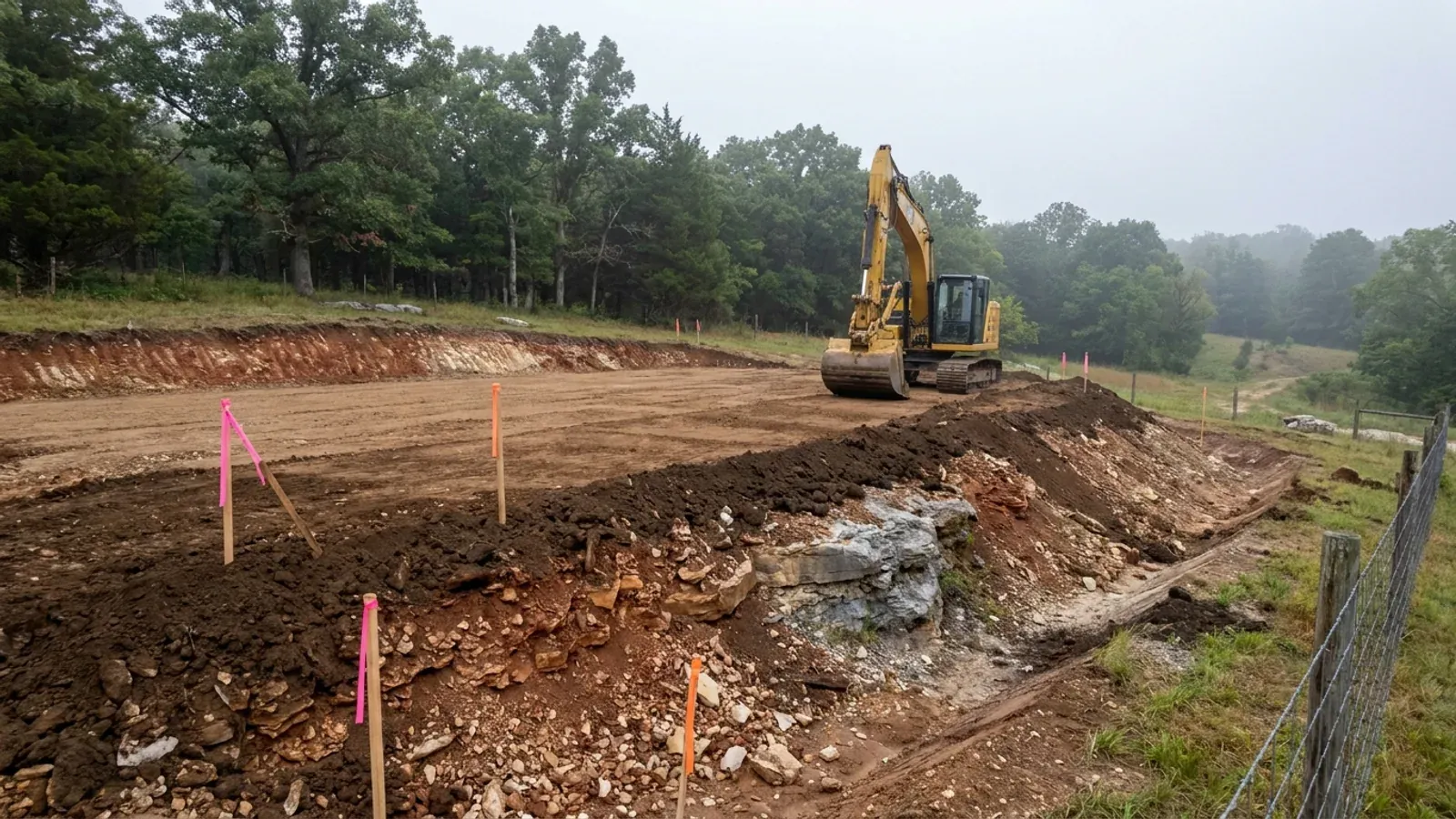
The expensive surprises are in the ground, not the building
What moves a Missouri budget is usually below grade, and which problem you have depends on where in the state you are. Across the Ozarks it is karst: the Department of Natural Resources maps more than sixteen thousand sinkhole points, and what matters there is what is under the slab rather than what the slab sits in. Across the north and centre it is claypan — dense, slow-draining subsoil that perches water above it for months of the year. In the Bootheel it is deep alluvium carrying the highest seismic demand in the state, where the same soils modelled for liquefaction attack post embedment and slab bearing rather than the frame above them. The same ground then decides the septic system, and Missouri does not run that on a percolation test alone: the rule allows a perc test or a soil morphology examination in a profile pit, and the authority reviewing your parcel picks which. Where a drainfield sits near a sinkhole's drainage, perc testing on its own is not permitted at all. Whether that authority is the state or your own county is itself a local question, and it changes what you have to file. So the site work, the foundation and the drainfield get resolved together rather than one at a time. We price the dirt before we price the building.
What we build in Stone County
All nine services are available in Stone County. What a build costs depends far more on the parcel than on square footage, so we price against your land rather than publishing a rate card.
Custom Plans
Barndominium floor plans drawn to your parcel and your soil, and to whichever Missouri authority — a county, a city, or none at all — will review them.
Barndominium Kits
Barndominium shell packages delivered to your Missouri land, drawn to the criteria your own county or city publishes — because the state publishes none.
Turnkey Builds
Start to finish barndominium construction in Missouri: the permits that genuinely apply, site work, shell and interior finish, under one contract.
What a build looks like
Three stages every Stone County project passes through, from a raw parcel to a finished home. Site work first, because that is where the budget is decided.
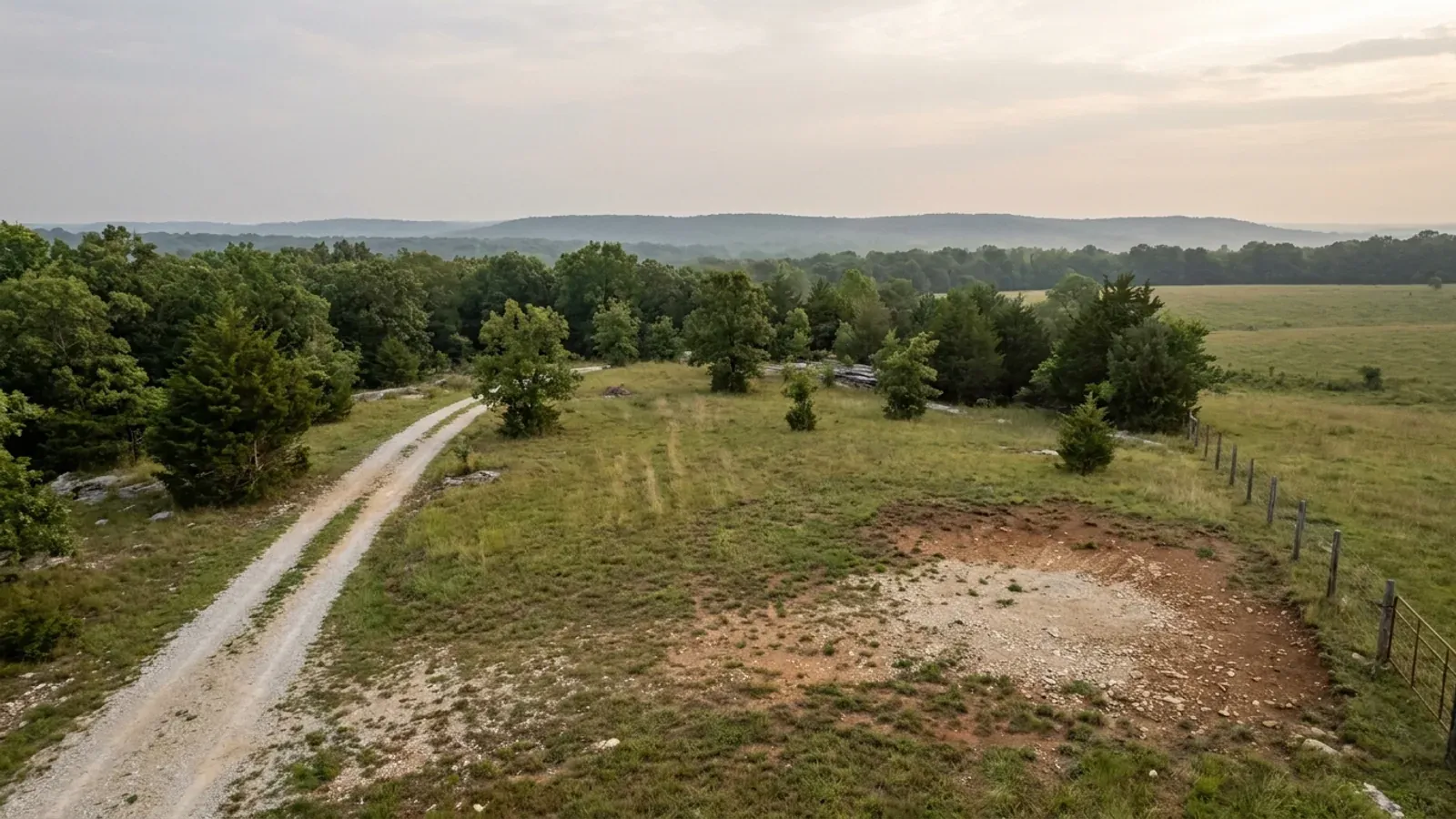
The parcel
Zoning, setbacks, flood zone and utility access get checked before anything is drawn.
Pad and permit
Clearing, grading and a compacted pad, while the submittal works through whichever office issues the permit where you are building.
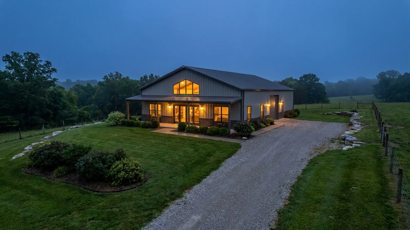
Frame to finish
Shell erected and dried in, then systems, insulation and interior finish through to CO.
Those are the rules where you are building in Stone County. Tell us what you want to build and we will draw it to them.
Where we build around Stone County
Stone County and the rural land around it. The buildable acreage for a project this size usually sits outside the city limits, which is frequently what changes who issues your permit.
Keep reading
The questions that usually come next once you know what Stone County allows.
Barndominium Cost Guide
Sourced per-square-foot ranges by tier and by size, with a calculator built on the same figures.
Read itIs It Legal in Missouri?
Classification, zoning, the HOA gate, and why "nonresidential farm building" does not cover a home.
Read itHow Long Does It Take?
Census build-duration data, and what actually sets the permit clock where you are building.
Read itNearby areas we build in
Others we cover nearby, and they are not interchangeable. One may be a county with an adopted building code, another a county with no legal authority to have one, another a city that permits inside its own limits whichever county the land sits in. So the office that issues the permit, whether anyone inspects the work at all, the fees, the zoning and the design figures can differ from one card to the next — sometimes across a single property line.
Building in Stone County: common questions
7 questions we get asked most often about building in Stone County. If yours is not on the list, ask it directly.
Do I need a building permit to build a barndominium in unincorporated Stone County?
My lot is more than three acres. Does that get me out of a septic permit?
What are the setbacks and the minimum lot size on Table Rock ground?
Can I put metal siding and a metal roof on the house?
Can I rent the place out nightly on Table Rock?
What frost depth and design loads should the foundation be built to?
I own lakefront. Can I build a house on it and put in a dock?
Building in Stone County?
Start with the plan. Tell us what you want to build and we will draw it, then confirm which office issues the permit for your parcel, what it will let you put there, and what wind load it has to meet. That conversation costs nothing.