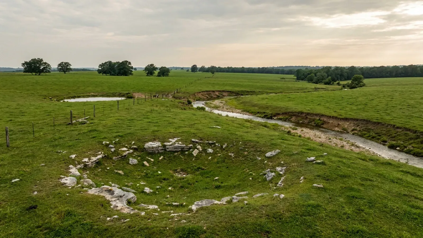
Open Springfield Plateau pasture with a grassed-over karst sinkhole, limestone slabs breaking the turf and a gravel creek.
Taney County City-adopted code, city inspection

Barndominium Builders in Branson, MO

Branson is a small city with an enormous visitor economy — 12,869 residents on 21.3 square miles at the head of Lake Taneycomo — and almost nothing about building here follows from its population. Two things decide a project instead. The first is which side of the city line the parcel sits on. Inside the limits, the City of Branson runs a full building department on the 2018 International Residential Code with its own amendments, and it fills in Table R301.2(1) with its own numbers: ground snow load 15, wind speed 90 MPH, seismic zone B, weathering Severe, frost line depth 18 inches. Outside the limits, Taney County has zoning, subdivision regulations and a stormwater ordinance, and it requires a construction permit before any residential structure goes up — but its Planning and Zoning Department's own Regulations page lists exactly three code books, and none of them is a building code. Taney is a first-classification county, so under RSMo 64.170 it is one of the minority of Missouri counties that could adopt one; it has not. The second thing is water. Table Rock Lake is a US Army Corps of Engineers project and Lake Taneycomo is a licensed hydroelectric project, and both reach onto private land. The Corps holds flowage easements above the fee boundary to roughly elevation 936 feet, and inside them it specifically prohibits any structure for human habitation, any waste disposal system, and any change to the land contours — over 875 easement tracts covering more than 3,000 acres. Separately, RSMo 701.031's exclusion of three-acre single-family lots from the state on-site sewage programme carries its own exception for lots adjacent to lakes operated by the Corps of Engineers or by a public utility, and Taney County's own permitting page states the consequence plainly: a lakefront owner needs an on-site permit regardless of the size of the parcel. Add genuinely steep, rocky ground — the county's soil survey puts bedrock within twenty inches on well over a third of it — and the honest version of building near Branson is that the acreage is real, the terrain and the federal easements are the constraints, and the answer changes at the city line.

Branson at a glance

County
Taney County
Population
12,869
ZIP codes
65616, 65672, 65653, 65679, 65680, 65740, 65739, 65737, 65627, 65614, 65771, 65733, 65744
Site visits
Same-week site visits across Taney County — Branson and the Highway 76 corridor, Hollister and Kirbyville south, Forsyth and Kissee Mills east, Rockaway Beach and Merriam Woods north, and the Table Rock shoreline west toward the Stone County line

Building conditions in Branson

Missouri sets no residential building code and no statewide way of adopting one, so the first question on any parcel is not what the code says — it is whether there is one. Only counties of the first and second classification may adopt a building code at all, and classification is set by assessed valuation rather than population, so a small county can hold the power while a much larger one does not. Zoning is a separate power with its own answer, granted only after a vote of the people and repealable by another. What changes from one jurisdiction to the next is whether the work is inspected, who issues the permit, what that office charges, how the parcel is zoned, and the design figures your drawings have to satisfy.

Build conditions for Branson , Taney County, Missouri : design wind speed 90 mph. BUILD CONDITIONS BRANSON, MOTaney CountyCITY-ADOPTED CODEDESIGN WIND SPEED90 mphFrom the City of Branson's own inserted values in Table R301.2(1), printed in the codified BransonMunicipal Code at section 18-103(b) under the caption "Wind speed MPH." It applies inside the cit…ZONING · INSIDE BRANSON: LDR LOW DENSITY RESI…Branson A District — detached single…The sharpest practical difference between the two jurisdictions isthe shop. Branson zoning section 94-63(d)(3) caps "the maximum tota…WHO ISSUES THE PERMITCity of Branson — Planning and Devel…110 West Maddux Street, Branson; permits line 417-337-8549. BransonMunicipal Code section 18-2 sets fees by the city fee schedule at…
Build conditions for Branson, drawn from the sourced facts on this page. Every figure above is cited in the quick-facts panel below, with its source and vintage.
Branson fills in its own Table R301.2(1) — 15 psf snow and an 18-inch frost line
The city does not leave the model code's climatic and geographic design criteria blank. Branson Municipal Code section 18-103(b) inserts its own values into Table R301.2(1): ground snow load 15, wind speed 90 MPH, seismic zone B, damage from weathering Severe, frost line depth 18 inches, damage from termite Moderate/heavy, damage from decay Slight/moderate, winter design temperature 12 degrees Fahrenheit, ice shield underlayment required No. Two of those numbers are money on a post-frame or steel building. The 18-inch frost line sets the depth of every pier and post hole, and it is six inches shallower than Springfield's published 24 inches forty miles north and half of Kansas City's published 36 inches. The 15 psf ground snow load is the lower of the two figures found anywhere on this axis — most sourced Missouri jurisdictions publish 20 psf, and Sikeston in the Bootheel is the only other one at 15. Two cautions. First, these are city figures. They apply inside the Branson limits, and Taney County adopts no building code, so there is no county table to fall back on for a parcel outside them. Second, the wind figure is not a claim that Branson is calmer than Springfield: both cities adopt the 2018 International Residential Code, Springfield inserts 115 mph into the same table, and Branson's insert uses the older row captions "Wind speed MPH" and "Seismic zone." Each number is what a permit is issued against in its own city, and nothing more.

City of Branson, Branson Municipal Code ch. 18 art. V § 18-103(b), amended Table R301.2(1), read from the codified Code of Ordinances (Municode), Supplement 24, online content updated 25 August 2026, and re-read independently the same day; adoption and amendment history at § 18-103 running from Ord. No. 96-100 (13 January 1997) through Ord. No. 2018-0098 (25 September 2018), Ord. No. 2020-0012 (14 January 2020) and Ord. Nos. 2025-0012 and 2025-0013 (both 11 March 2025); the same values also appear in the city's posted "2018 International Residential Code — Local Amendments" PDF (bransonmo.gov DocumentCenter View 3413, stamped rev. 1/2019), downloaded and read 8 September 2026; Springfield comparison from Springfield City Code § 36-1302; Kansas City comparison from KCMO Code § 18-57

Taney County zones, permits and plats — but publishes no building code
This is the single most consequential fact for anyone buying acreage outside the Branson city limits, and it is not the same as "nothing applies." Taney County Zoning Regulations section 003.120 requires a construction permit from the Planning Administrator before any building or structure is erected, modified, altered or relocated, and lists what it reaches: any structure the Administrator designates, all non-agricultural structures, all residential structures, all commercial, office and industrial structures, and all non-agricultural accessory structures over 100 square feet, permanent or temporary. Agricultural structures are expressly excepted. But what that permit tests is compliance with zoning — "setbacks, height requirements, parking, access, and provision of utility services" — not compliance with a construction code. The county's Planning and Zoning Regulations page lists three instruments and only three: the Zoning Regulations dated 16 September 2024, the Subdivision Regulations dated 10 March 2023, and the Stormwater Erosion Control Regulations dated 14 August 2023. Its own Code Books collection holds five documents, all of them zoning, stormwater or subdivision. And its department index runs 24 county departments — a Planning and Zoning Department under Administrator Cody Stice, a Building and Grounds Department that maintains county facilities, and no building department, building official or building inspector anywhere in the list. The county's authority to change that is real but unused: Taney is one of thirteen first-classification counties in Missouri, and RSMo 64.170.1 empowers county commissions in first- and second-classification counties to adopt construction regulations and issue building permits. RSMo 64.170.2 adds that a county which had not adopted a building code before 28 August 2001 cannot adopt one now unless the voters approve it.

Taney County Zoning Regulations §§ 001.001, 001.010, 003.020 and 003.120, and the county's Planning & Zoning Regulations and Documents pages (taneycounty.org, department 15; the Zoning Regulations PDF at media.taneycounty.org/pdf.php?id=5245, dated 16 September 2024 in the county's own Code Books listing), downloaded and read 8 September 2026; Taney County departments index (taneycounty.org, section=departments), read 8 September 2026; classification from Missouri Association of Counties, "Missouri Counties by Classification," published May 2025, PDF downloaded and read 8 September 2026; RSMo § 64.170.1 and .2 read from revisor.mo.gov 8 September 2026

A federal flowage easement bars a house — and its septic — above elevation 936
Table Rock Lake is a US Army Corps of Engineers project, and the Corps' interest does not stop at the water's edge or at the government's fee boundary. The Little Rock District states that flowage easements were acquired above the boundary line up to, as a general rule, elevation 936 feet above mean sea level, that such an easement gives the government the perpetual right to overflow privately owned land during flood control operation of the reservoir, and that the government also has the right to impose building restrictions on flowage easement land. Inside a flowage easement the District specifically prohibits any changes to the land contours, any structures for human habitation whether permanent or temporary, and waste disposal systems and attached decks, which it treats as part of the habitable structure. Construction of any type on a flowage easement requires prior approval of the Corps of Engineers. The scale is not trivial: the District reports over 875 flowage easement tracts covering more than 3,000 acres on Table Rock Lake. That is a federal prohibition on a dwelling and its septic field, running across land a buyer holds by deed and pays taxes on. Separately from the easements, anything on government land itself — a boat mooring facility, clearing or grading, or vegetation modification on the lakeshore — needs a shoreline use permit from the Table Rock Project Office under 36 CFR 327.19, at a published $30 for a boat dock and $10 for vegetation management, both good for five years and both non-transferable and non-refundable; masonry walkways, boat ramps and parking, roads, and water and power lines across government land are handled instead as real estate instruments, case by case. Most of the Table Rock boundary line has been surveyed and monumented with 3.5-inch brass caps stamped with the monument number, year and agency, set at ground level with a five-foot white steel fence post about a foot away.

U.S. Army Corps of Engineers, Little Rock District, Table Rock Lake — Shoreline Management (swl.usace.army.mil, Missions > Recreation > Lakes > Table Rock Lake > Shoreline Management), rendered in a browser and read 8 September 2026, sections "Shoreline Use Permits," "Real Estate Instruments," "Project Boundary Line" and "Flowage Easement"; permit authority cited on that page to 36 CFR Part 327 § 327.19; Table Rock Project Office, 4600 State Highway 165, Branson

Three acres does not get you out of a septic permit on a lake lot — and Taney runs the state programme, not its own ordinance
Missouri's on-site sewage law excludes some large single-family lots from the state programme, and Taney County quotes the exclusion in full on its own permitting page. RSMo 701.031 excludes the owner of a single-family residence lot of three acres or more, or a residential lot of ten acres or more meeting spacing conditions, from sections 701.025 to 701.059 — "except lots adjacent to lakes operated by the Corps of Engineers or by a public utility." Taney County Planning and Zoning then translates the exception into its own plain list of who must get an on-site permit: property owners with less than 3 acres; any commercial project under 3,000 gallons per day of flow, above which the Department of Natural Resources takes over; property owners building more than one structure requiring an on-site system in less than ten-acre increments; and "property owners where the property borders a Corps of Engineers or public utility controlled body of water regardless the size of the parcel." Both of the big lakes here fall inside that exception, by two different routes: Table Rock and Bull Shoals are Corps of Engineers projects, and Lake Taneycomo is the reservoir of the Ozark Beach Hydroelectric Project, FERC Project No. 2221, licensed to the Empire District Electric Company on the White River in Taney County. There is a second thing worth knowing about how Taney runs this. The Department of Health and Senior Services lists three authority types for on-site wastewater — its own onsite programme, a local authority by contract, and a local authority by ordinance — and Taney County is a Contract authority, through Taney County Environmental Services at PO Box 944, Forsyth, 417-546-7238. It administers the state minimum construction standards rather than a stricter county ordinance of its own, which is not how several other lake and metro counties in Missouri do it. One current caveat on cost: DHSS states that effective 28 August 2026, following a change to RSMo 701.046 that removed the $90 permit fee and authorised the department to set reasonable fees, application fees for on-site sewage construction, modification and repair are on hold until new standards take effect.

Taney County Planning and Zoning, "Taney County Onsite Permitting Program" page (taneycounty.org, department 15, page 10705), read 8 September 2026; RSMo § 701.031 read from revisor.mo.gov 8 September 2026; Missouri Department of Health and Senior Services, OWTS Construction Permit Application Process county selector (health.mo.gov/business-professionals/onsite-wastewater-treatment/owts-construction-permit-process?county=Taney), server-rendered and read 8 September 2026, returning Agency: Taney County Environmental Services, Authority Type: Contract; Lake Taneycomo project identity from 90 Fed. Reg. 8390 (29 January 2025), FERC Project No. 2221-041, "Empire District Electric Company; Notice of Availability of Environmental Assessment"

The rock really is shallow here — and the survey says so, unlike Greene County
"The Ozarks are shallow to bedrock" is a lazy generalisation across the region, and in Greene County around Springfield it is close to false. In Taney County it is measurably true. The USDA-NRCS soil survey for Taney County, survey area MO213, covers 416,871 acres in 38 map units. Querying the national soil database on 8 September 2026 for the mapped restriction layers: lithic and paralithic bedrock is recorded within 51 centimetres — about twenty inches — on 158,055 component-weighted acres, which is 37.9 percent of the survey. A further 81,736 acres carry bedrock between 51 and 100 centimetres and 80,185 acres between 101 and 150. Rock outcrop is itself a named map-unit component on 42,972 acres, more than a tenth of the county. The dominant soils split three ways on depth: Gasconade, the largest single component at 79,050 acres, carries lithic bedrock at a representative 20 to 53 centimetres; Knobby at 23 and Moko at 20 to 51 are shallower still; Gatewood sits at 71 to 102; and Ocie, the second largest at 78,233 acres, is deep at 142 to 152. The county is steep with it. Its largest single map unit is "Gasconade-Gatewood-Rock outcrop complex, 15 to 50 percent slopes" at 107,572 acres, and eight map units whose slope class begins at 15 percent or steeper cover 263,484 acres — 63 percent of the survey. And it is cherty: 317,552 acres, 76 percent of the survey, lie in map units whose names carry gravelly, stony, rocky, cherty or Rock outcrop, and chert is far and away the dominant rock fragment in the database, appearing in 1,017 horizon records against 111 for cherty limestone, 88 for sandstone and 55 for dolomite, at volumes reaching 56 percent. The practical reading for a shop-and-house build is that the site work, not the shell, is where the surprises live, and that a foundation route which assumes uniform diggable soil across a five-acre tract will meet rock somewhere on it.

USDA-NRCS Soil Data Access, https://SDMDataAccess.sc.egov.usda.gov/Tabular/post.rest, queried 8 September 2026 against survey area MO213 ("Taney County, Missouri", saverest 2 September 2025), joining legend to mapunit to component to corestrictions and to chorizon/chfrags; acreages are map-unit acres weighted by component percentage except the map-unit totals, which are muacres as published; Greene County comparison from the same service for survey area MO077

Renting it nightly is a separate question in every jurisdiction here, and the answers differ sharply
A large share of what gets built around Branson is meant to be rented, and where the parcel sits decides whether that is possible and what it costs. Inside the city limits there are two gates. The licensing gate: the City of Branson requires a Short-Term Rental business licence under Branson Municipal Code chapter 22 at $100 a year on a 1 May to 30 April licence year, one per business address, plus a $150 STR Permit issued by the Fire Department after an approved fire safety inspection which expires three years after approval and is assignable and transferable, plus a tourism tax bond, plus a Missouri retail sales tax licence, plus a posted emergency safety plan and evacuation map at each address. The city defines a short-term rental as a dwelling unit offered for lodging for not less than one night and not more than 30 consecutive days, excluding rentals within a primary residence and lodging establishments. The zoning gate is separate and narrower: Branson zoning section 94-61(e)(12)b provides that for a short-term rental, "Individual rooms within a single-family dwelling shall not be permitted," and that the use "[s]hall only be permitted within those planned developments which specifically list the use as being allowed." Outside the city, Taney County treats nightly rental as a zoning use with its own districts and its own article. It is permitted by right in the NR-1 Single-Family Nightly Rental, NR-3 Multi-Family Nightly Rental and C-2 General Commercial districts, and is a conditional use requiring a Conditional Use Permit in A-1 Agricultural, RR-1 Rural Residential, RV-1 and C-1. Article 024.000 then sets the operating rules: maximum occupancy of two persons per dwelling unit plus two per bedroom, capped at twenty and further limited by the capacity of the wastewater system, the off-street parking provided and the local fire district's occupancy limits, whichever is least; one off-street parking space per two persons of occupancy; a posted sign inside and outside the front door carrying the local representative's name and telephone number, the owner's name and address, contact details for the Planning Department and the Sheriff's Office, the maximum occupancy and the parking count; a local representative available 24 hours a day who lives or has a permanent place of business in Taney County or an adjoining county; weekly solid waste collection while the property is available; a valid Missouri sales tax licence before a zoning certificate issues; downward-directed outdoor lighting; and an annual inspection by the fire district unless the district waives it.

City of Branson, "Short-Term Rentals" page (bransonmo.gov/970), read 8 September 2026; Branson Municipal Code ch. 94 § 94-61(e)(12)b, read from the codified Code of Ordinances (Municode), Supplement 24, content updated 25 August 2026, and re-read independently the same day, § 94-61 amended most recently by Ord. No. 2026-0041, § 2, 26 May 2026; Taney County Zoning Regulations Art. 024.000 §§ 024.010 and 024.020 and Arts. 013.000 and 014.000, read 8 September 2026

Also worth knowing before you build in Branson

The fire district may require a sprinkler in a nightly rental that the city's own code deletes for a house
Two instruments here point in opposite directions and both are live. Branson's adopted residential code deletes IRC section R313.2, one- and two-family dwellings automatic fire systems, in its entirety — so a new house inside the city is not required to be sprinklered. But east of the city, the Central Taney County Fire Protection District publishes guidance for nightly rentals built on the International Fire Code, and its Fire Protection Requirements chart sets a monitored fire sprinkler system at NFPA 13D minimum for a single-family nightly rental under 2,000 square feet, and steps up above 2,000 square feet to a sprinkler system determined by the authority having jurisdiction, a 2.5-inch NST fire department connection, sprinklers on covered porches and decks, a monitored fire alarm system, a Knox box, emergency lighting on the path of egress, a heat detector in the kitchen, a 5 lb ABC extinguisher on each level, and smoke alarms in all sleeping areas, corridors and living areas. All three categories share a maximum 75-foot travel distance to a ground-level exit and minimum 4-inch address numbers viewable from the street on a contrasting background with a 911-approved address. The district also prices a nightly rental as new commercial construction whether it is new or a conversion: a $50 minimum application fee, then $4.00 per $1,000 of materials cost for the first $250,000, $2.00 per $1,000 for the next $750,000 and $1.00 per $1,000 above $1,000,000, with $150 added for a fire sprinkler system, $100 for a centralised fire alarm and $50 for a commercial cooking hood suppression system — and it sets allowable occupancy at square footage divided by 200. Its own permit application states that the codes it enforces are the 2015 International Fire Code and NFPA requirements, adopted and set into the district's ordinances.

Central Taney County Fire Protection District, Prevention/Inspection Division, "Nightly Rentals" guidance (centraltaneycountyfire.org/wp-content/uploads/Nightly-Rental-Guidance.pdf, undated) and "Application for Plan Review and Occupancy Permit with the Fire Inspector's Office" (Building-Permit-Application.pdf), both downloaded and read 8 September 2026; district code adoption from its own Fire Inspections page, centraltaneycountyfire.org/fire-inspections, read 8 September 2026; IRC R313.2 deletion from Branson Municipal Code § 18-103(b)

Neither big fire district here regulates house construction — and one of them says so on its own permit page
A Missouri fire protection district can in principle be a construction authority, so it is worth asking by name. The two districts that cover most of the Branson market both answer the same way, and both answer in writing. The Western Taney County Fire Protection District protects 207 square miles of the western third of Taney County — Bull Creek, Hollister, Kirbyville, Merriam Woods, Mincy, Ridgedale, Rockaway Beach, Walnut Shade and the unincorporated area — expressly excluding the Branson city limits. Its permit page is headed "Permit Requirements ( Permits for commercial building projects only )" and states that the district "currently utilizes the International Fire Code-2024 edition for all code enforcement activities as well as NFPA guidelines" and updates that code every six years. The Central Taney County Fire Protection District, 136 square miles serving about 7,600 full-time residents, states that it "has adopted the International Fire Code/2015" and that plan reviews and inspections are performed on new commercial construction. Neither has adopted a residential building code. Two statutory points frame that. RSMo 321.228 provides that where a city, town, village or county adopts, implements and enforces a residential construction regulatory system, any fire protection district wholly or partly inside it is without power to enforce or implement one, keeping for the district only final authority over fire hydrant location and specifications, hydrant flow rates and fire lanes, plus the ability to inspect the alteration, enlargement, replacement or repair — not the original construction — of a detached one- or two-family dwelling, with no fee for either. And a district that adopts the International Fire Code rather than a building code is not doing the thing that section preempts in the first place. The practical instruction for a buyer is to ask which district covers the address, because district boundaries do not follow the county's zoning map and there are smaller departments in the county beyond these two.

Western Taney County Fire Protection District, "Permits" (westerntaneyfire.com/i_want_to/permits.php), "Prevention Division" (about_us/prevention_division.php) and "Coverage" (about_us/coverage.php), read 8 September 2026; Central Taney County Fire Protection District, "Fire Inspections" and "About Us" (centraltaneycountyfire.org), read 8 September 2026; RSMo § 321.228 read from revisor.mo.gov 8 September 2026

Checked the exterior standards: no metal ban reaches a site-built house here
A tourism town with an entertainment district is exactly where a steel or metal-clad exterior gets prohibited, so the standards are worth reading rather than assuming. Branson's zoning does prohibit metal exteriors — but only for manufactured homes. Section 94-61(e)(3), "Manufactured homes," requires a manufactured home on an individual lot to have roofing that is residential in appearance "including, but not limited to, approved wood, asphalt composition or fiberglass shingles, but excluding corrugated aluminum, corrugated fiberglass or metal roofs," an eave projection of no less than six inches and no greater than 30 inches, the main entry door facing the street, and "exterior surface and window treatments that are architecturally compatible with those of neighboring properties, excluding smooth, ribbed or corrugated metal or plastic panels." None of that reaches a site-built dwelling. What does reach one is softer and more discretionary: section 94-14 provides that "[a]ll structures in the Residential, Commercial and Downtown Districts shall, for the purposes of design, architecture and building materials, conform to the area and immediate vicinity," and where in the planning and development director's judgment the plans would cause a general depreciation in market value in the immediate vicinity, the director refers the proposal to the planning commission, which may approve, deny or condition it after a public hearing with notice to every property owner within 185 feet. It applies in the residential, commercial and downtown districts, and by its own terms not in the Agricultural or Conservation districts. Outside the city, Taney County's zoning carries no exterior material restriction on a dwelling at all — the only material-compatibility language in the county code is section 018.070, which requires structures in the C-1 Neighborhood Commercial District to be built in a complementary nature to the most restrictive abutting residential district and puts design review inside site plan review, and section 034.110, which governs the appearance of telecommunications towers and their support buildings. There is no minimum roof pitch and no minimum dwelling floor area in either code.

Branson Municipal Code §§ 94-14 and 94-61(e)(3) (Ord. No. 2018-0030, § 2, adopted 10 April 2018, which amended ch. 94 in its entirety), read from the codified Code of Ordinances (Municode), Supplement 24, content updated 25 August 2026, and § 94-14 re-read independently the same day; Taney County Zoning Regulations §§ 018.070 and 034.110, and a full-text check of the Zoning Regulations for roof pitch, eave, exterior material and minimum floor area provisions, 8 September 2026

An 800-square-foot cap on the shop inside the city, and none outside it
For a buyer whose whole reason for building this way is a shop bigger than the house, the city line is decisive. Branson zoning section 94-63(d)(3) states that "[t]he maximum total size of accessory structures within any residential district shall be 800 square feet unless approved by special use permit," and that no accessory structure shall exceed the height of the site's principal structure. Note what is being capped: the total of all accessory structures on the lot, not each one, and the escape is a special use permit rather than an administrative approval. Section 94-63(d)(2) also places accessory structures to the rear of the primary building unless the planning and development director approves otherwise, and section 94-63(d)(5) bars using an accessory structure in a residential district to conduct a retail, commercial or repair business. Taney County sets no equivalent cap. Its section 003.080 lists barns, workshops, studios, carports, garages, living quarters and garage/living-area combinations among permitted accessory structures and regulates them by setback — five feet from the rear line, seven from the side, ten from the principal structure — with a driveway access permit from the Road and Bridge Department or MoDOT for any new driveway serving one. A construction permit from Planning and Zoning is required for any non-agricultural accessory structure over 100 square feet, and an accessory dwelling unit is limited to 1,500 square feet of finished living area, one per parcel, permitted by right in A-1 and conditional elsewhere. The county's A-1 table gives a non-inhabitable accessory structure a two-acre minimum lot and five-foot rear setback; in RR-1 the same structure may be up to 50 feet tall.

Branson Municipal Code § 94-63(d)(2), (3) and (5), read from the codified Code of Ordinances (Municode), Supplement 24, content updated 25 August 2026, and re-read independently the same day; Taney County Zoning Regulations §§ 003.080 and 003.120 and the A-1 and RR-1 density and dimensional tables at §§ 008.020 and 009.020, read 8 September 2026

Two acres is the working minimum outside town, and dividing land under ten acres triggers the subdivision code
Taney County's subdivision regulations set the lot arithmetic that most rural Branson-area builds run into. Table 1 requires 8,000 square feet for a single-family dwelling on public or central sewer, and two acres for one on an on-site wastewater system, with 70 feet of minimum frontage either way; and any subdivision proposed with lots of which any contain less than two acres must be connected to a public or central sewer collection system. The subdivision code is triggered by any division of land into lots or tracts smaller than ten acres. Where not more than six tracts under ten acres are created, including any remainder retained by the owner, the Planning Administrator may approve it as an administrative minor subdivision; anything beyond that is a major subdivision with the full preliminary and final plat procedure. Access is a real constraint on this ground: a tract without direct access to a county road needs a recorded ingress/egress easement at least 50 feet wide, no more than two tracts under ten acres may be served by one such easement, and no lot or lot width may be created using an easement on lots that abut existing roads. Streets must be designed and built to the Taney County Road Standards, and the Road and Bridge Department reviews anything that takes direct access from a county road. The county also runs a land disturbance permit for all non-agricultural land disturbance exceeding one acre, which on 15-to-50-percent slopes is easier to trip than it sounds.

Taney County Subdivision Regulations, Art. 4 § 3, Art. 5 § 1, Art. 8 § 3 and Art. 9 Table 1 (media.taneycounty.org/pdf.php?id=4833; the county's Code Books listing dates this document 10 March 2023), downloaded and read 8 September 2026; land disturbance permit from the Taney County Planning and Zoning department page, read 8 September 2026

Taney County farmland is mostly woods, and the holdings are small
The 2022 Census of Agriculture counts 438 farms in Taney County on 100,205 acres, at an average of 229 acres — but the average hides the shape of the market. Two hundred seventy-nine of those 438 farms, 64 percent, are under 180 acres: 7 in the 1-to-9-acre band, 102 at 10 to 49 acres and 170 at 50 to 179. That 10-to-49-acre band is precisely the tract a shop-and-house build wants, and there are a hundred of them here. Land in farms by use is the terrain story in one line: woodland 40,021 acres, pastureland 39,932, cropland 15,099 and other 5,153 — more woods than pasture and nearly three times more woods than cropland, which is what a county of 15-to-50-percent slopes looks like on a farm return. Ninety-five percent of the county's agricultural sales are livestock, poultry and products, against 5 percent crops, and land in farms fell 7 percent between 2017 and 2022 while average farm size fell 16 percent. Acres irrigated: 22.

USDA National Agricultural Statistics Service, 2022 Census of Agriculture, Taney County, Missouri county profile (nass.usda.gov, Online_Resources/County_Profiles/Missouri/cp29213.pdf), downloaded and read 8 September 2026

The county seat is not in the flood insurance programme
Every community in Taney County is on the same current effective flood map, dated 15 March 2012, and all but one of them participates in the National Flood Insurance Program. FEMA's Community Status Book lists Taney County itself (community 290435, regular programme from 1 April 2004), the City of Branson (290436, from 26 October 1976), the City of Hollister (290437, 1985), the City of Rockaway Beach (290438, 2000), the City of Merriam Woods (290069, 2006) and the Village of Bull Creek (290916, 1997) as participating. The City of Forsyth — the county seat — is listed as not participating, a status FEMA has carried since 7 February 1976, with an initial flood hazard boundary map from 1975 and an initial flood insurance rate map from 29 September 2006. Federal flood insurance is written only in participating communities, so the distinction is worth checking against a specific address before an offer rather than after, particularly on a bottomland tract along Bull Creek, Swan Creek or the Taneycomo shore.

FEMA OpenFEMA API, NfipCommunityStatusBook entity, queried 8 September 2026 for state MO, county TANEY COUNTY (dataset lastRefresh 25 August 2026); seven communities returned

Branson's footing-and-foundation permit asks for a soil analysis report before the walls go up
On ground where more than a third of the county has rock inside twenty inches and the largest map unit runs 15 to 50 percent slopes, the foundation is where a project either works or does not. Branson Municipal Code section 18-6 lets the planning and development director issue a footing and foundation permit ahead of the full building permit, and the submittal list is a useful checklist even for a build outside the city where nobody will ask for it: a title page giving name and address, type of construction, use group and square footage; a soil analysis report; a grading and site utilities plan; an engineered foundation plan and details including structural calculations; a floor plan showing restrooms and the sewer, water and electrical service connections; an elevation plan; and, if the application includes pouring the slab, additional plans for underground utilities. It is issued on payment of an additional plan review fee set by the city fee schedule. A Missouri-licensed professional engineer seals a foundation set of that kind, and on a slope-and-rock site the soil analysis is what tells you whether the plan you are pricing is the plan you can build.

Branson Municipal Code ch. 18 art. I § 18-6, read from the codified Code of Ordinances (Municode), Supplement 24, online content updated 25 August 2026

Branson city limits reach into two counties with two different statutory regimes
Branson's municipal boundary crosses the Taney-Stone county line on its western side. The Census Bureau's Vintage 2024 subcounty population estimates, which split each incorporated place against county boundaries, record all 12,869 Branson residents in the Taney County portion and zero in the Stone County portion — so the western part of the city is land, not neighbourhood. The two counties are in different statutory positions. Taney is one of thirteen first-classification counties in Missouri, which under RSMo 64.170.1 could adopt building regulations and issue building permits if it chose. Stone County is third classification, and RSMo 64.170.1 reaches only counties of the first and second classification, so those sections give it no such authority at all. Neither county has a building code today, and the practical answer for a buyer in either is the same — but they are different kinds of no, and only one of them can change at an election.

U.S. Census Bureau, Vintage 2024 Subcounty Population Estimates, Missouri file (sub-est2024_29.csv), SUMLEV 162 and SUMLEV 157 place-part records for Branson city, downloaded and read 8 September 2026; land area 21.341 sq mi and internal point from the 2024 Census Gazetteer places file; county classifications from Missouri Association of Counties, "Missouri Counties by Classification," published May 2025; RSMo § 64.170.1 read from revisor.mo.gov 8 September 2026
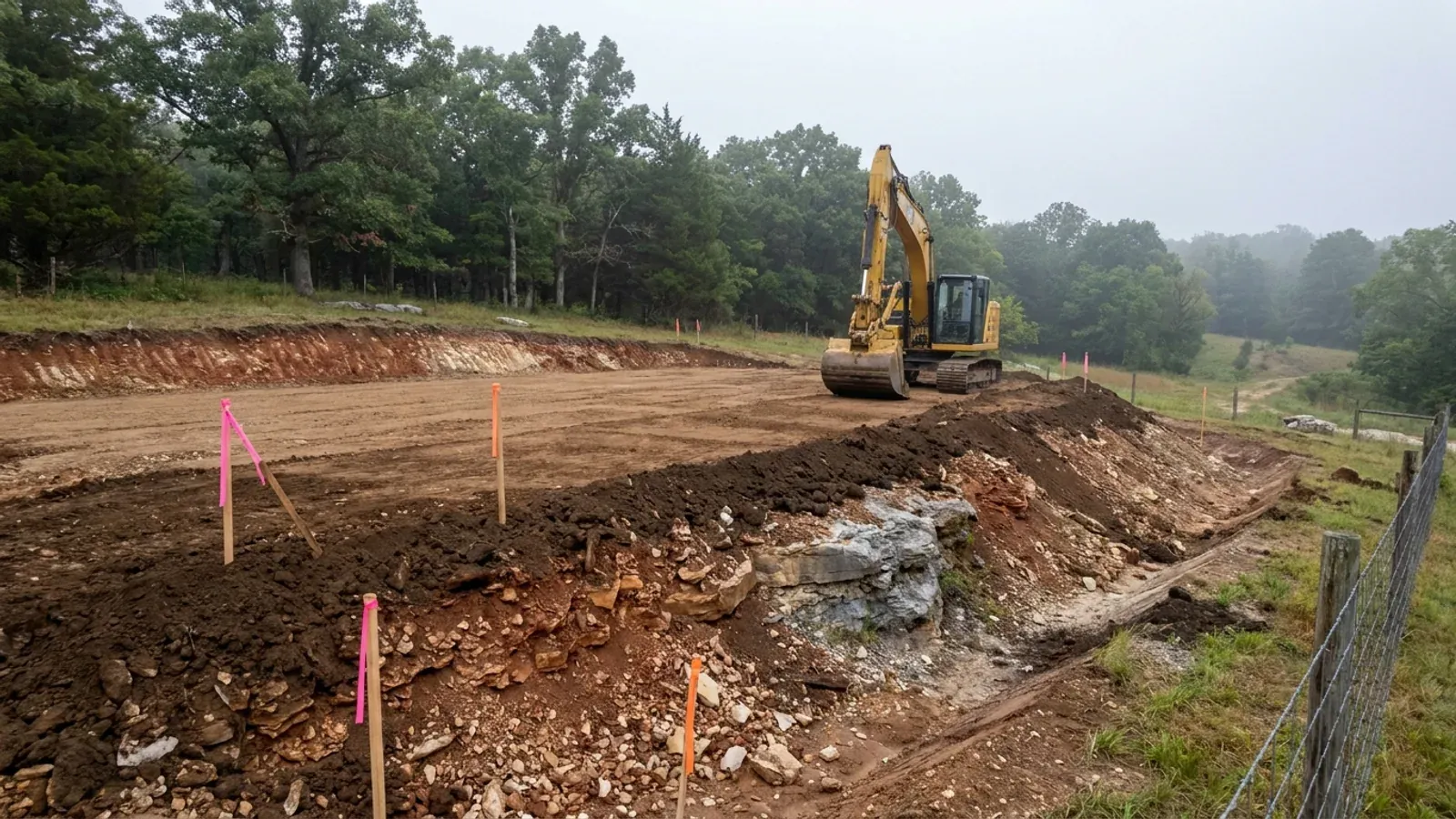
An excavator grading a compacted building pad on a cleared lot, with survey stakes and a drainage swale visible.
Below the slab

The expensive surprises are in the ground, not the building

What moves a Missouri budget is usually below grade, and which problem you have depends on where in the state you are. Across the Ozarks it is karst: the Department of Natural Resources maps more than sixteen thousand sinkhole points, and what matters there is what is under the slab rather than what the slab sits in. Across the north and centre it is claypan — dense, slow-draining subsoil that perches water above it for months of the year. In the Bootheel it is deep alluvium carrying the highest seismic demand in the state, where the same soils modelled for liquefaction attack post embedment and slab bearing rather than the frame above them. The same ground then decides the septic system, and Missouri does not run that on a percolation test alone: the rule allows a perc test or a soil morphology examination in a profile pit, and the authority reviewing your parcel picks which. Where a drainfield sits near a sinkhole's drainage, perc testing on its own is not permitted at all. Whether that authority is the state or your own county is itself a local question, and it changes what you have to file. So the site work, the foundation and the drainfield get resolved together rather than one at a time. We price the dirt before we price the building.

What a build looks like

Three stages every Branson project passes through, from a raw parcel to a finished home. Site work first, because that is where the budget is decided.
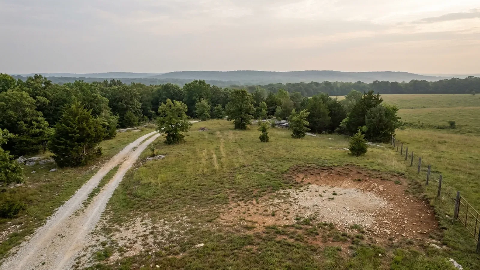
Aerial view of an undeveloped rural lot with cleared grass, a oak and hickory treeline with a few loblolly pines, and a pale gravel access track.
Stage one

The parcel

Zoning, setbacks, flood zone and utility access get checked before anything is drawn.

An excavator grading a compacted building pad on a cleared lot, with survey stakes and a drainage swale visible.
Stage two

Pad and permit

Clearing, grading and a compacted pad, while the submittal works through whichever office issues the permit where you are building.
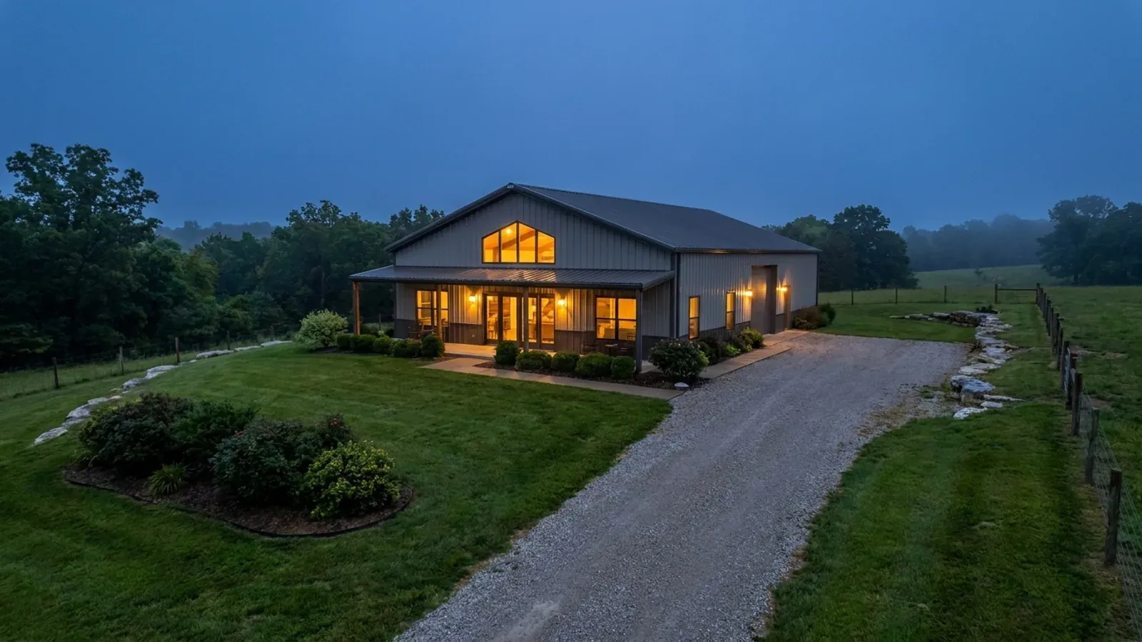
A finished barndominium at dusk with warm interior lighting glowing through its large windows.
Stage three

Frame to finish

Shell erected and dried in, then systems, insulation and interior finish through to CO.

Those are the rules where you are building in Branson. Tell us what you want to build and we will draw it to them.

Where we build around Branson

Taney County and the rural land around it. The buildable acreage for a project this size usually sits outside the city limits, which is frequently what changes who issues your permit.

The Branson service area, including the rural acreage outside the built-up edge, which is where the parcels big enough for a build like this usually sit. The map marks the territory we build in. It is not a branch location, and there is no office at this pin.

Nearby areas we build in

Others we cover nearby, and they are not interchangeable. One may be a county with an adopted building code, another a county with no legal authority to have one, another a city that permits inside its own limits whichever county the land sits in. So the office that issues the permit, whether anyone inspects the work at all, the fees, the zoning and the design figures can differ from one card to the next — sometimes across a single property line.

Building in Branson: common questions

10 questions we get asked most often about building in Branson. If yours is not on the list, ask it directly.

I am buying acreage outside Branson. Will anyone inspect my house?
Taney County will not inspect it to a building code, because it does not have one — but that is not the same as nothing applying, and the difference matters. Taney County Zoning Regulations section 003.120 requires a construction permit from the Planning Administrator before any structure is erected, and the list of what needs one expressly includes all residential structures and all non-agricultural accessory structures over 100 square feet. What that permit checks is zoning: setbacks, height, parking, access and provision of utility services. The county's own Planning and Zoning Regulations page lists three instruments — zoning, subdivision and stormwater erosion control — and its department index carries a Planning and Zoning Department and no building department or building inspector at all. Two other permits are separate and real: an on-site wastewater construction permit from Planning and Zoning if you fall inside the permitting triggers, and a land disturbance permit for any non-agricultural land disturbance over one acre. Inside the Branson city limits the answer flips completely: the city permits and inspects on the 2018 International Residential Code with its own amendments, and permit applications go to the planning and development department under section 18-9. Ask which side of the line a parcel is on before you price anything, because a Branson mailing address is not the same as a Branson jurisdiction — the city says so itself and points buyers at its mapping system to check.
My lot is over three acres. Do I still need a septic permit?
On a lake lot, yes — and the exception is in the statute itself, not in a county rule. RSMo 701.031 excludes the owner of a single-family residence lot of three acres or more from sections 701.025 to 701.059, but the exclusion is written "except lots adjacent to lakes operated by the Corps of Engineers or by a public utility." Taney County Planning and Zoning quotes that sentence in full on its own on-site permitting page and then states the operating rule in its own words: an on-site permit is required from property owners "where the property borders a Corps of Engineers or public utility controlled body of water regardless the size of the parcel." Table Rock Lake and Bull Shoals Lake are Corps of Engineers projects. Lake Taneycomo is the reservoir of the Ozark Beach Hydroelectric Project, FERC Project No. 2221, licensed to the Empire District Electric Company. So on any of the three, acreage buys you nothing. Away from the lakes the three-acre exclusion does operate in Taney County, and that is worth saying because it is not true everywhere in the state: the Department of Health and Senior Services recognises three authority types for on-site wastewater and lists Taney as a Contract authority — Taney County Environmental Services, administering the state minimum construction standards — rather than a county running a stricter ordinance of its own. There are also triggers below three acres that catch people: any commercial project under 3,000 gallons per day, and building more than one structure needing an on-site system in less than ten-acre increments. And if you are subdividing, the county's subdivision Table 1 requires two acres per single-family dwelling on an on-site system anyway, and any lot under two acres has to be on public or central sewer.
What is a flowage easement, and how do I find out whether my lot has one?
It is a perpetual federal right over privately owned land, and on Table Rock it is the most under-appreciated constraint in the market. The Corps of Engineers acquired flowage easements above its fee boundary line up to, as a general rule, elevation 936 feet above mean sea level. The easement gives the government the perpetual right to overflow the land during flood control operation of the reservoir, and the Little Rock District states that the government "also has the right to impose building restrictions on flowage easement." Inside one, the District specifically prohibits any changes to the land contours, any structures for human habitation whether permanent or temporary, and waste disposal systems and attached decks, which it counts as part of the habitable structure — and construction of any type on a flowage easement requires prior Corps approval. There are over 875 flowage easement tracts covering more than 3,000 acres on Table Rock. The District publishes a second, smaller figure for the same easements in its signed 2020 Shoreline Management Plan — 2,576 calculated acres of the 62,207-acre project — and this page reports both rather than choosing between them. Finding out is straightforward and should happen before an offer, not after. The District publishes an interactive Shoreline Management Plan map showing zoning boundaries, access points and flowage easements, and the Table Rock Project Office at 4600 State Highway 165 in Branson will help locate the boundary line. Most of that line is surveyed and monumented: look for a 3.5-inch brass cap set at ground level stamped with the monument number, the survey year and "Little Rock District, Corps of Engineers, US Army," usually with a five-foot white steel fence post about a foot away. Trees with a four-inch white band are an aid, not the line. A title commitment should disclose the easement, but the elevation and the prohibited-uses list are what tell you whether the house pad you want is legal.
Can I build a metal-sided barndominium in and around Branson?
Yes, and the standards were read rather than assumed. Branson's zoning does prohibit corrugated metal roofs and "smooth, ribbed or corrugated metal or plastic panels" — but that language sits inside section 94-61(e)(3), the manufactured homes subsection, and it applies to a manufactured home placed on an individual lot, together with a six-to-thirty-inch eave projection and a requirement that the main entry door face the street. It does not reach a site-built dwelling. Taney County's zoning carries no exterior material restriction on a dwelling anywhere; its only material-compatibility rule is section 018.070, which asks structures in the C-1 Neighborhood Commercial District to be complementary to the most restrictive abutting residential district, and section 034.110, which governs telecommunications towers. Neither code sets a minimum roof pitch or a minimum dwelling floor area. There is one discretionary provision to know about inside the city: section 94-14 requires all structures in the Residential, Commercial and Downtown Districts to conform to the area and immediate vicinity "for the purposes of design, architecture and building materials," and lets the planning and development director refer a proposal to the planning commission where the plans would in the director's judgment cause a general depreciation of market value nearby, with a public hearing and notice to owners within 185 feet. It is not a ban and it does not name any material, but it is a real gate, it is judgment-based, and it is best met with elevations early rather than late. By its own terms it applies in the residential, commercial and downtown districts — not in the city's Agricultural or Conservation districts, and not outside the city at all. Recorded subdivision covenants are a separate matter from zoning and can be stricter than either code.
How big can the shop be?
Inside the Branson city limits, 800 square feet without a special use permit. Section 94-63(d)(3) caps "the maximum total size of accessory structures within any residential district" at 800 square feet unless approved by special use permit, and no accessory structure may exceed the height of the principal structure. Read that carefully: it is a cap on the total of everything accessory on the lot, not on each building, and it does not scale with lot size. Section 94-63(d)(2) also puts accessory structures behind the primary building unless the planning and development director agrees otherwise, and section 94-63(d)(5) bars running a retail, commercial or repair business out of one in a residential district. Outside the city there is no floor-area cap at all. Taney County section 003.080 lists barns, workshops, studios, carports, garages, living quarters and garage/living-area combinations as permitted accessory structures and regulates them by setback — five feet from the rear line, seven from the side, ten from the principal structure — with a 50-foot maximum height in RR-1. A construction permit is required for any non-agricultural accessory structure over 100 square feet, and a new driveway serving one needs an access permit from the Taney County Road and Bridge Department or MoDOT. The one county limit that catches shop-house plans is the accessory dwelling unit rule: finished living area inside an accessory structure is capped at 1,500 square feet, only one accessory dwelling unit is allowed per parcel, and it is a permitted use in A-1 but a conditional use in the other residential districts.
Can I rent it out nightly?
It depends entirely on where it is, and the two jurisdictions are close to opposites. Inside the Branson city limits the licensing side is well organised and the zoning side is narrow. The city requires a Short-Term Rental business licence under chapter 22 at $100 a year on a 1 May to 30 April year, one per address, and a $150 STR Permit issued by the Fire Department after an approved fire safety inspection, valid three years from approval and transferable with the property, plus a tourism tax bond, a Missouri retail sales tax licence, and a posted emergency safety plan and evacuation map. But zoning section 94-61(e)(12)b provides that a short-term rental "[s]hall only be permitted within those planned developments which specifically list the use as being allowed," and that individual rooms within a single-family dwelling are not permitted. Confirm the zoning of a specific address with the city before you buy on the assumption you can rent it. Outside the city, Taney County has purpose-built districts for it: nightly rental is permitted by right in NR-1, NR-3 and C-2, and is a conditional use requiring a Conditional Use Permit in A-1, RR-1, RV-1 and C-1. Article 024.000 then governs operation — occupancy of two per unit plus two per bedroom to a maximum of twenty, further limited by the wastewater system's capacity, the parking provided and the fire district's occupancy limits; one parking space per two occupants; a 24-hour local representative living or based in Taney County or an adjoining county; posted signage inside and outside the front door; weekly waste collection; a sales tax licence before the zoning certificate issues; and an annual fire district inspection unless the district waives it. Budget for that last one. The Central Taney County Fire Protection District prices a nightly rental as new commercial construction — $50 minimum application fee, then $4.00 per $1,000 of materials cost on the first $250,000 — and its published guidance sets a monitored NFPA 13D sprinkler system as the minimum for a single-family nightly rental under 2,000 square feet, with a longer list above that threshold. Branson's own residential code deletes the IRC's one- and two-family sprinkler section, so a house you never rent and a house you rent nightly are genuinely different buildings here.
Is the ground here really solid rock?
Often, but not everywhere, and the survey will tell you which before a backhoe does. The USDA-NRCS soil survey for Taney County covers 416,871 acres, and lithic or paralithic bedrock is recorded within about twenty inches on 158,055 component-weighted acres — 37.9 percent of it. Another 81,736 acres carry bedrock between roughly twenty and forty inches. Rock outcrop is a named map-unit component on 42,972 acres. The three dominant soils behave very differently: Gasconade, the single largest component, has bedrock at a representative 20 to 53 centimetres and Knobby at 23, while Ocie, nearly as large, is deep at 142 to 152. So on a five-acre tract it is entirely normal to have a buildable pad and a rock shelf on the same parcel. Slope compounds it — the county's largest map unit is a Gasconade-Gatewood-Rock outcrop complex at 15 to 50 percent slopes, and map units whose slope class starts at 15 percent or steeper cover 263,484 acres, about 63 percent of the survey. And it is cherty ground: 76 percent of the survey lies in map units named gravelly, stony, rocky, cherty or Rock outcrop, with chert the dominant rock fragment at volumes reaching 56 percent. Practical consequences: pull the parcel's map units on Web Soil Survey before you sign; get a soil analysis before you commit to a foundation type rather than after; expect trenching for water, power and a drainfield to price differently from flat farm ground; and remember that the survey is a guide to the site, not a determination of it — Missouri's own on-site sewage rule says as much about county soil survey reports. Note also that shallow rock is not automatically bad news for a footing, but it is decisive for a septic field, a basement and a utility run, and those three are usually where the budget moves.
Branson publishes design numbers. Do they apply to my lot outside the city?
No, and that is worth being precise about because there is nothing to replace them with. Branson Municipal Code section 18-103(b) inserts its own values into Table R301.2(1) — ground snow load 15, wind speed 90 MPH, seismic zone B, weathering Severe, frost line depth 18 inches, termite Moderate/heavy, decay Slight/moderate, winter design temperature 12 degrees Fahrenheit, ice shield underlayment No. Those are the figures a Branson permit is issued against. Taney County adopts no building code, so it publishes no design table at all; outside the city limits the numbers that govern are the ones in your own construction documents, and there is no adopted local table to point at. Two comparisons keep the figures honest. Springfield, forty miles north and on the same 2018 edition of the International Residential Code, inserts 115 mph where Branson inserts 90 and a 24-inch frost line where Branson sets 18 — same code generation, different adopted numbers, and no basis for saying one town is windier or colder than the other. And on seismic, the USGS Seismic Design Web Service queried at Branson's own coordinates on 8 September 2026 returns category C at Site Class D and category B at Site Class C on ASCE 7-16, with the same split on 7-22 despite an Ss about 64 percent higher. Branson adopts B and B is what the permit is issued against; the site class established at your parcel is what moves the answer. Anyone specifying a building for a lot outside the city should have a Missouri-licensed professional engineer set the design loads on the record rather than borrowing the nearest city's table.
Is the exterior of my build going to be reviewed by anyone?
Possibly, inside the city, and not by a design board. Branson has no separate architectural review board for houses. What it has is section 94-14, which requires all structures in the Residential, Commercial and Downtown Districts to conform to the area and immediate vicinity in design, architecture and building materials, and gives the planning and development director a referral power: where the plans and specifications would in the director's opinion and judgment cause a general depreciation in the market value of property in the immediate vicinity, the proposal goes to the planning commission, which may approve, deny or approve with conditions after a public hearing with legal notice to every property owner within 185 feet. There is no list of prohibited materials attached to it, and the only material prohibition in the city's zoning applies to manufactured homes. Outside the city there is no equivalent provision at all for a dwelling — Taney County's design-review language is confined to the C-1 Neighborhood Commercial District, where structures must be complementary to the most restrictive abutting residential district and design review happens inside site plan review, and to telecommunications facilities. The practical approach inside Branson is to bring elevations, materials and colours to the planning and development department early, so a referral is a conversation rather than a surprise at permit stage.
What does it take to split off a few acres from a bigger tract here?
In unincorporated Taney County the subdivision regulations engage as soon as land is divided into lots or tracts smaller than ten acres. If not more than six tracts under ten acres are created, including any remainder the owner keeps, the Planning Administrator can approve it as an administrative minor subdivision, which follows the same review as a final plat but without the preliminary plat step. Beyond six, it is a major subdivision. Lot size is the constraint most people meet first: Table 1 requires two acres for a single-family dwelling on an on-site wastewater system against 8,000 square feet on public or central sewer, with 70 feet of frontage either way, and any proposed subdivision containing a lot under two acres has to connect to a public or central sewer collection system. Access is the second: a tract without direct access to a county road needs a recorded ingress/egress easement at least 50 feet wide, no more than two tracts under ten acres may be served by a single such easement, and lot width cannot be created by using an easement on lots that already abut a road. Streets are built to the Taney County Road Standards, and the Road and Bridge Department reviews anything taking direct access from a county road. On this terrain, budget for the land disturbance permit as well — it applies to all non-agricultural land disturbance over one acre, and one acre of cut and fill on a fifteen-to-fifty-percent slope is not much road. A licensed land surveyor prepares the plat and locates the corners.

Building in Branson?

Start with the plan. Tell us what you want to build and we will draw it, then confirm which office issues the permit for your parcel, what it will let you put there, and what wind load it has to meet. That conversation costs nothing.