Barndominium Builders in Stoddard County, MO
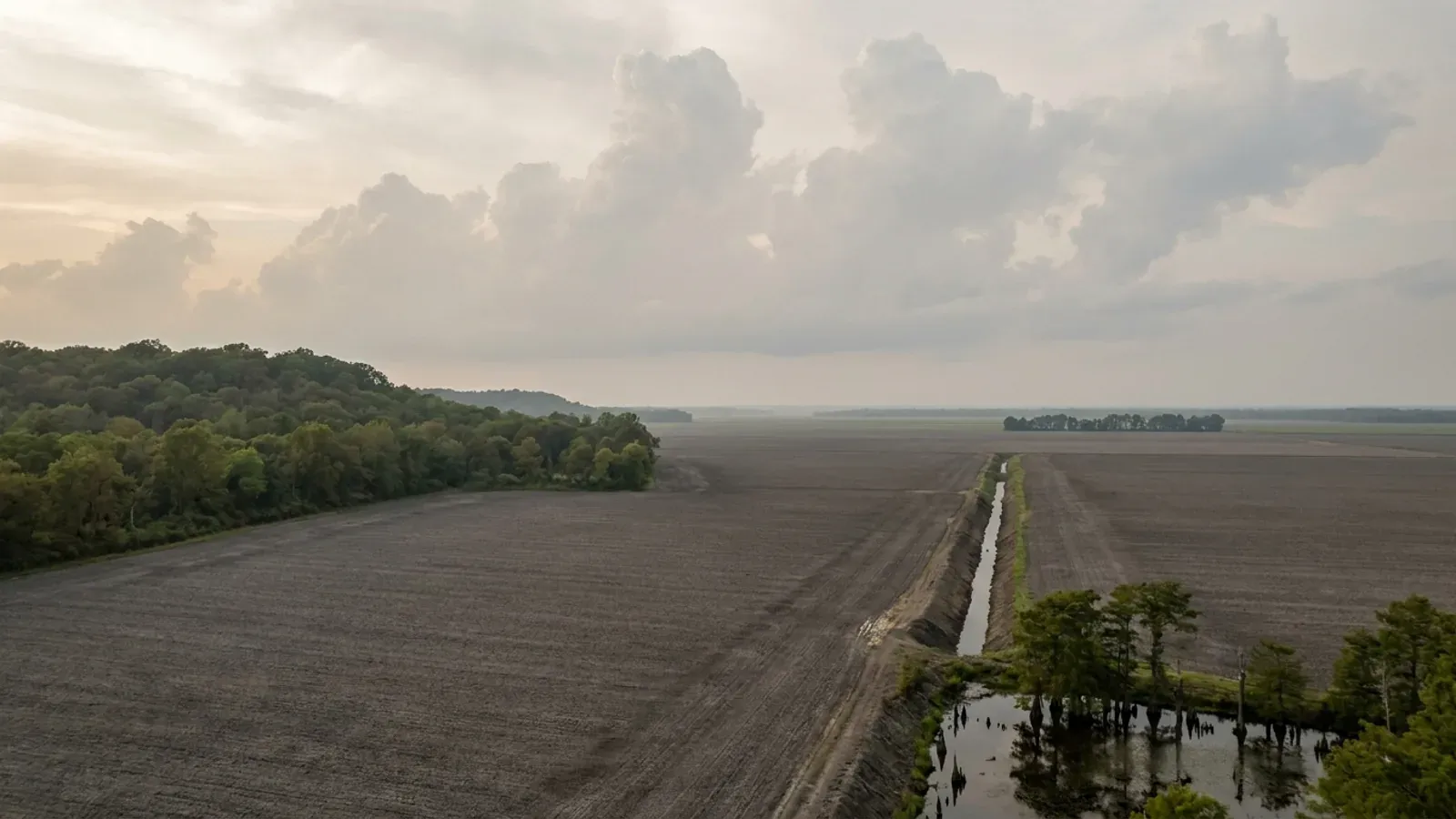
Stoddard County is the flattest, most intensively farmed ground in the state, it sits inside the New Madrid seismic zone, and almost nobody writes down what that combination actually means for a permit. The county is third classification on the Missouri Association of Counties list published in May 2025, and RSMo 64.170.1 empowers only the county commission in counties of the first and second classification to control construction and issue building permits, with RSMo 64.205 confirming the same scope from the other side. So this county has no building-code authority to exercise, and nothing it publishes shows a building, planning or zoning office: the county clerk's own list of county resources runs the Collector, the Recorder of Deeds, the Assessor and the Justice Center, and nothing else. That is not the same as nothing gating a build. Stoddard County and all nine incorporated communities inside it participate in the National Flood Insurance Program and none of them is suspended, and the State Emergency Management Agency names Beau Bishop at 501 W. Business 60 in Dexter as both the county's emergency management director and its floodplain administrator. A floodplain development permit is therefore a live county permit in the mapped hazard areas, in a county with no building permit at all. Inside city limits the answer changes twice in twelve miles. Dexter requires a construction permit under Section 500.020 of its code before any wall, structure or building is built, enlarged or altered, charges thirty-five dollars up to a projected cost of thirty-five thousand and one dollar more for each additional thousand under Ordinance 5099 of 7 August 2023, and inspects during construction. Its own code enforcement page names the 2006 International Building, Residential, Plumbing, Mechanical, Fuel Gas and Fire Codes, while the codified Chapter 500 sets out the city's own Minimum Building Standards instead, a set of footing, plumbing, electrical and masonry rules enacted by Ordinance 4442 of 2 April 2007. Bloomfield, the county seat, adopts by ordinance The BOCA Basic Building Code of 1970, Fifth Edition, charges twenty dollars for a building permit, and inspects within seven days of the application. Neither city fills in Table R301.2(1), so no wind speed, ground snow load, frost line depth or seismic design category is published anywhere in this county, and the two cities that flank it disagree about all four of those numbers on the same edition of the same model code. What both Stoddard County cities do carry is one sentence saying all construction shall comply with RSMo 319.200 through 319.207, the state's seismic statute, which at Section 319.203.2 exempts any single-family or duplex residence and any private structure under ten thousand square feet. Around the towns is the biggest farmland in the state: 637 farms working 417,349 acres at an average of 655 acres a farm, 122 of them a thousand acres or larger, with 197,380 acres under irrigation.
Stoddard County at a glance
- County
- Stoddard County
- Population
- 28,438
- ZIP codes
- 63841, 63825, 63730, 63822, 63960, 63936, 63846, 63735
- Site visits
- Same-week site visits across the county — Dexter and Bloomfield on US-60, north to Advance and Bell City, south to Bernie and Essex, west to Puxico and Dudley, and out to the ditch country between them
Building conditions in Stoddard County
Missouri sets no residential building code and no statewide way of adopting one, so the first question on any parcel is not what the code says — it is whether there is one. Only counties of the first and second classification may adopt a building code at all, and classification is set by assessed valuation rather than population, so a small county can hold the power while a much larger one does not. Zoning is a separate power with its own answer, granted only after a vote of the people and repealable by another. What changes from one jurisdiction to the next is whether the work is inspected, who issues the permit, what that office charges, how the parcel is zoned, and the design figures your drawings have to satisfy.
Missouri Association of Counties, Missouri Counties by Classification, published May 2025, PDF downloaded from mocounties.com and read as text 8 September 2026 (control: a nonexistent filename on the same path returns HTTP 404); RSMo 64.170 (effective 28 August 2008), RSMo 64.205 (effective 28 August 1963) and RSMo 48.020 (effective 28 August 2026), rendered from revisor.mo.gov 8 September 2026; Stoddard County Clerk, Links and Resources, and Candidacy Filing Information, County Offices, both read 8 September 2026
City of Bloomfield Code, Title V Building and Construction, Chapter 500 Building Regulations, Article I Adoption of Standards, Sections 500.010 to 500.050 (R.O. 2012 Sections 500.010 to 500.050; Ord. No. 2025, CC 1981), on eCode360, codified text marked Includes legislation through 04-20-2026, version 28, read 8 September 2026; City of Dexter, City Codes page, cityofdexter.org, and City of Dexter Code Chapter 500 Building Regulations on eCode360, codified text marked Includes legislation through 12-01-2025, version 17, both read 8 September 2026
City of Sikeston Municipal Code, Chapter 500 Article II Residential Code for One and Two-Family Dwellings, Section 500.090.A.8, and City of Poplar Bluff Municipal Code, Chapter 500 Article X Residential Code, Sections 500.400 and 500.401 (Ord. No. 19-72), both read directly on eCode360 on 8 September 2026 with the jurisdiction name captured from the page title in the same read; City of Dexter Chapter 500 and City of Bloomfield Chapter 500, same date, neither containing a Table R301.2(1)
City of Dexter Code Section 500.010 and City of Bloomfield Code Section 500.060, both on eCode360, read 8 September 2026; RSMo 319.200, 319.203 and 319.207, rendered from revisor.mo.gov (control this session: a nonexistent section returns HTTP 302 to a 156-byte interstitial with no Effective line, while every real section returns the Title, Chapter, catchline and an Effective date line)
USDA-NRCS Soil Data Access tabular service, sdmdataaccess.sc.egov.usda.gov, queries against legend, mapunit, component, corestrictions, comonth, cosoilmoist, chorizon and muaggatt for areasymbol MO207, run 8 September 2026 (control: a query naming a nonexistent table returns an explicit Invalid object name service exception rather than an empty result). The restriction depth column corestrictions.resdept_r is in centimetres; the inch equivalents above are conversions
Missouri Department of Health and Senior Services, On-site Wastewater Treatment, OWTS Construction Permit Process, county selector result for Stoddard, read 8 September 2026 and validated against a Camden County control returning Camden County Wastewater Dept., Authority Type Ordinance, and a nonsense county value returning no authority block at all; RSMo 701.031 (effective 28 August 2005) and RSMo 701.046 (effective 28 August 2026), rendered from revisor.mo.gov 8 September 2026
Also worth knowing before you build in Stoddard County
- Every community in the county is in the flood insurance programme, and the county's own map dates from 1987
- Queried against the OpenFEMA NFIP Community Status Book on 8 September 2026, Stoddard County returns ten communities and every one of them participates: Stoddard County itself, community identification number 290845, in the regular programme since 1 July 1987 with a currently effective map date of the same day, plus Advance, Bell City, Bernie, Bloomfield, Dexter, Dudley, Essex, Penermon and Puxico. None is suspended. That is not automatic in this state: the same dataset returns 888 Missouri communities of which 194 are recorded as not participating, and among them are whole counties elsewhere in the state. Effective map dates in Stoddard County run from 1978 to 1986 for the towns and 1987 for the unincorporated county, with Essex, Penermon and Dudley carrying no special flood hazard area at all. What follows for a build is procedural rather than structural: in the mapped hazard area a floodplain development permit comes from the county's own floodplain administrator, and the state's model application form requires, where the site is in a designated floodway, a certification before any permit issues that the proposed development will result in no increase in the base flood elevations, and asks separately whether a Corps of Engineers Section 404 permit, a Department of Natural Resources 401 permit or an EPA NPDES permit is required. Inside Dexter the standard is harder than the federal minimum: Section 415.150 requires new residential construction to have its lowest floor, including basement, elevated to one foot above base flood elevation, with the elevation certified by a Missouri-licensed land surveyor, engineer or architect. That chapter is current — the codifier's own prior-history note records that the former Chapter 415 was superseded by Ordinance 5127 of 1 April 2024.
- No fire protection district exists in this county, so the route by which a fire board can become a building department is closed
- The Missouri Division of Fire Safety publishes a Fire Departments by County report of every service currently registered with it. For Stoddard County it lists eight, all registered for 2026: Advance Fire Department, Bell City Volunteer Fire Department, Bernie Volunteer Fire Department, Bloomfield Department of Public Safety, Dexter Fire Department, Dudley Volunteer Fire Department, Essex Fire Department and Puxico Fire and Rescue. Not one is a fire protection district. The same report names 406 fire protection districts across the state and lists one in neighbouring Butler County, so the absence here is a finding and not a gap in the report. This matters because RSMo 321.220(12) lets a fire protection district board adopt fire ordinances whose standards may be industrial codes adopted by nationally organised and recognised trade bodies, and elsewhere in the state district boards have used that to run residential permitting where the county could not. There is no district board in this county to do it. The companion rule cuts the other way in the two cities: RSMo 321.228.2 provides that where a city, town, village or county adopts, implements and enforces a residential construction regulatory system, any fire protection district wholly or partly within it is without power, authority or privilege to enforce or implement one, and RSMo 321.228.1(2) defines that system to include any permitting or inspection programme relating to residential construction. Dexter and Bloomfield both run one. Under RSMo 321.228.3 a district would still keep final authority over fire hydrant location and specification, hydrant flow rates and fire lanes, and could inspect the alteration, enlargement, replacement or repair of a one- or two-family dwelling, without charging for either. Municipal fire departments are answerable to their own city rather than to that section, and a city fire department adopting a fire prevention code is doing something ordinary that RSMo 321.228 does not reach at all.
- Nothing in this county bans metal siding, sets a roof pitch or runs design review — checked in both codes
- Some Missouri jurisdictions prohibit the exterior this building type is made from, and some prohibit the method outright, so it is worth stating plainly that neither of the two Stoddard County codes does. Dexter's Chapter 405 Zoning Code was read through its general provisions, all six district articles, its supplementary district regulations, its swimming pool, non-conforming use, board of adjustment, administration, amendment, violation and sign articles, and its subdivision regulations. It contains no restriction on exterior materials, no prohibition on metal or corrugated panels, no minimum roof pitch, no minimum eave projection and no architectural or design review of any kind. The only exterior-appearance rules in the whole chapter are Sections 405.210 and 405.220, which require the exterior appearance of a group residential home or a foster care home to be in reasonable conformance with the general standards of its district. Bloomfield's code has no zoning chapter at all. Outside the cities there is no instrument that could carry such a rule. What Dexter does regulate, and it is the rule a shop-and-house buyer runs into first, is the accessory building: Section 405.160, most recently amended by Ordinance 4706 of 15 April 2013, provides that no accessory building shall be used as a dwelling, that an accessory building shall be subordinate in size and purpose to the principal structure, that one which is not part of the main building shall not occupy more than thirty percent of the rear yard, and that it shall not exceed eighteen feet in height measured from the finished floor to the highest peak. That is a proportional cap rather than a square-footage cap, and inside the city limits it settles the question of whether the shop may be larger than the house. Outside the city limits there is no cap of any kind.
- No office here asks for sealed structural drawings on a steel or post-frame building
- This is the question that moves a budget, and it has an unusually clean answer in this county. Dexter Section 500.020.A requires that before any wall, structure or building is built, enlarged or altered, a plan of the proposed work together with a statement of the materials to be used shall be submitted in writing, in duplicate, to the Building Inspector or another designated city official. It asks for nothing more. Bloomfield Section 500.080.A requires an application stating the applicant's name and address, the address where the structure will be erected, and a drawing showing the property lines in relation to the location of the structure. Neither city requires plans sealed by a design professional, neither imposes a special inspection regime, and neither singles out metal or post-frame construction for any additional review. Elsewhere in the state that is not the case: Greene County requires sealed plans for every metal or steel structure, and Christian County requires structural and foundation work on all metal structures to be stamped by a Missouri-licensed professional engineer. What Dexter does instead is put the burden on the builder. Section 500.120, enacted by Ordinance 4442 of 2 April 2007, sets minimum footings of twelve by eighteen inches for single-floor construction with four number four bars, eighteen by twenty-four inches for two storeys with five bars, requires the bottom of the footing to be installed below the frost line for this area without stating what that depth is, requires eight-inch reinforced basement walls with a water stop, treated lumber wherever wood contacts concrete, and slabs on a minimum four-inch compacted sand or washed rock pad with a five-mil moisture barrier — and then adds at subsection F that it shall be the responsibility of the builder to determine if a more stringent footing and wall design is necessary to meet actual building requirements and soil conditions. On ground with a shallow water table, high shrink-swell clay across a fifth of the county and no bedrock to bear on, that sentence is the whole engineering brief, and it is addressed to the person building rather than to the person reviewing. The place a seal genuinely is required is the flood certification: Dexter Section 415.150 needs a Missouri-licensed land surveyor, engineer or architect for the lowest floor elevation, and a Missouri-registered professional engineer or architect for any floodproofing.
- 637 farms, an average of 655 acres, and 122 of them a thousand acres or larger
- The 2022 Census of Agriculture county profile for Stoddard County counts 637 farms working 417,349 acres of land in farms, an average of 655 acres against a state average of 308. Land in farms breaks down as 383,815 acres of cropland, 12,962 of pastureland, 10,422 of woodland and 10,150 other. Crops are eighty-five percent of the value of everything sold, and the county ranks fifth in the state for crop sales at $315,349,000 of a $369,484,000 total. Irrigation covers 197,380 acres, forty-seven percent of land in farms. By size, 13 farms are one to nine acres, 189 are ten to forty-nine, 182 are fifty to one hundred seventy-nine, 105 are one hundred eighty to four hundred ninety-nine, 26 are five hundred to nine hundred ninety-nine, and 122 are a thousand acres or more. That last number is nineteen percent of the farms in the county and it is what the 655-acre average is really made of. For a buyer the practical effect is that tracts here come off farms large enough that splitting a homesite out of one is a routine transaction rather than a negotiation, and that the parcel offered cheapest is usually the one the drainage map explains.
- This is drainage-district country, and the ditch is a legal instrument as much as a channel
- The Little River Drainage District, formed in 1907, states on its own site that it maintains roughly a thousand miles of ditches and more than three hundred miles of levees, that the district itself covers about 550,000 acres and drains a total of two million, running from as far north as Cape Girardeau to the Arkansas state line, and that it is overseen by five elected board members. A district of that kind is organised under RSMo Chapter 242, and the machinery that reaches a building site is in the statute rather than on the website: RSMo 242.240.1 has the board petition the circuit court to appoint commissioners to appraise the lands within and without the district to be acquired for rights-of-way, holding basins and other drainage works, and RSMo 242.010.1 defines the owner for those purposes as the owner of the freehold estate as it appears by the deed record. In other words the district's interest in a particular tract is a recorded property interest, not a published rule, and the way to find out whether it crosses a building site is the Recorder of Deeds and the district office, before the site plan is drawn rather than after. The district publishes no landowner permit process and no county-by-county acreage, so nothing here should be treated as a share of the district falling in this county. For scale on how little of this county is open water rather than channel, the 2024 Census Gazetteer records 823.142 square miles of land against 5.802 square miles of water.
- The worst-earthquake corner of the state is also its lowest-radon corner
- Parsed from the EPA's county-level Map of Radon Zones dataset, Missouri returns 115 rows, the 114 counties plus the independent city. Zone 3, the lowest predicted indoor screening level at under 2 picocuries per litre, contains exactly seven counties, and Stoddard is one of them alongside Butler, Dunklin, Mississippi, New Madrid, Pemiscot and Scott. Zone 1, the highest, is the Kansas City metro and the northwest corner. So the block of counties with the highest seismic demand in the state carries its lowest radon potential, which is the opposite of what most buyers expect and the opposite of what a national summary implies. The EPA's own Missouri sheet says in terms that the Map of Radon Zones should not be used to determine if individual homes need to be tested and that all homes should be tested regardless of zone designation, so this is a planning-stage fact rather than a reason to skip a test. It matters to a slab-on-grade building with a shop attached mainly because it removes a sub-slab depressurisation system from the list of things a design here has to assume.
OpenFEMA NfipCommunityStatusBook, v1 endpoint at fema.gov, filtered on state MO and county STODDARD COUNTY, last refreshed 25 August 2026, queried 8 September 2026 (controls: the v2 path returns HTTP 404; the filter value Missouri instead of MO returns zero rows at HTTP 200; a nonexistent county name returns zero rows; row counts were taken from array length because the metadata count field reads zero on every response); State Emergency Management Agency, Stoddard County emergency coordinator and floodplain administrator listing (control: a nonexistent county id renders the same page with empty lists); SEMA state Floodplain Development Permit/Application form; City of Dexter Code Chapter 415 Floodplain Management, Section 415.150 and the chapter's prior-history note, on eCode360, read 8 September 2026
Missouri Division of Fire Safety, Fire Department List and Registration, Fire Departments by County report, PDF downloaded from apps1.mo.gov and read as text 8 September 2026; RSMo 321.228 (effective 28 August 2012), rendered from revisor.mo.gov 8 September 2026
City of Dexter Code, Chapter 405 Zoning Code, Sections 405.070 to 405.390 including Section 405.160 (Ord. No. 3341, 4011, 3886, 4424 and 4706 of 15 April 2013) and Sections 405.210 and 405.220, and Chapter 410 Subdivision Regulations, all read on eCode360 8 September 2026 with each article's jurisdiction confirmed from the page title in the same read; City of Bloomfield Code, Title IV Land Use table of contents, which lists only Chapter 400 Planning and Zoning Commission, Chapter 405 Subdivision Regulations and Chapter 410 Floodplain Management
City of Dexter Code Sections 500.020, 500.120 (Ord. No. 4442, 2 April 2007) and 415.150, and City of Bloomfield Code Section 500.080 (R.O. 2012 Section 400.020; Ord. No. 2071; Ord. No. 3199, 25 August 2008), all on eCode360, read 8 September 2026; Greene County and Christian County requirements as recorded in this site's own sourced research on those jurisdictions
USDA National Agricultural Statistics Service, 2022 Census of Agriculture, County Profile for Stoddard County, Missouri, downloaded from nass.usda.gov and text-extracted 8 September 2026 (control: a nonexistent county profile on the same path returns a 196-byte HTTP 404); county land area of 823.142 square miles from the 2024 U.S. Census Bureau Gazetteer county file
The Little River Drainage District, home and About Us pages, thelrdd.org, read 8 September 2026 (control: a nonexistent path on the same host returns HTTP 404); RSMo 242.010 (effective 28 August 2002) and RSMo 242.240 (effective 28 August 1990), rendered from revisor.mo.gov 8 September 2026; 2024 U.S. Census Bureau Gazetteer county file
EPA Map of Radon Zones county-level dataset (document number EPA 402/A-16/001; underlying map developed 1993), downloaded from epa.gov and parsed 5 September 2026 for this site's statewide research, and the EPA Missouri zone map sheet
The expensive surprises are in the ground, not the building
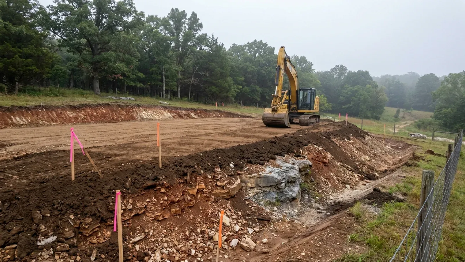
What moves a Missouri budget is usually below grade, and which problem you have depends on where in the state you are. Across the Ozarks it is karst: the Department of Natural Resources maps more than sixteen thousand sinkhole points, and what matters there is what is under the slab rather than what the slab sits in. Across the north and centre it is claypan — dense, slow-draining subsoil that perches water above it for months of the year. In the Bootheel it is deep alluvium carrying the highest seismic demand in the state, where the same soils modelled for liquefaction attack post embedment and slab bearing rather than the frame above them. The same ground then decides the septic system, and Missouri does not run that on a percolation test alone: the rule allows a perc test or a soil morphology examination in a profile pit, and the authority reviewing your parcel picks which. Where a drainfield sits near a sinkhole's drainage, perc testing on its own is not permitted at all. Whether that authority is the state or your own county is itself a local question, and it changes what you have to file. So the site work, the foundation and the drainfield get resolved together rather than one at a time. We price the dirt before we price the building.
What we build in Stoddard County
All nine services are available in Stoddard County. What a build costs depends far more on the parcel than on square footage, so we price against your land rather than publishing a rate card.
Custom Plans
Barndominium floor plans drawn to your parcel and your soil, and to whichever Missouri authority — a county, a city, or none at all — will review them.
Barndominium Kits
Barndominium shell packages delivered to your Missouri land, drawn to the criteria your own county or city publishes — because the state publishes none.
Turnkey Builds
Start to finish barndominium construction in Missouri: the permits that genuinely apply, site work, shell and interior finish, under one contract.
What a build looks like
Three stages every Stoddard County project passes through, from a raw parcel to a finished home. Site work first, because that is where the budget is decided.
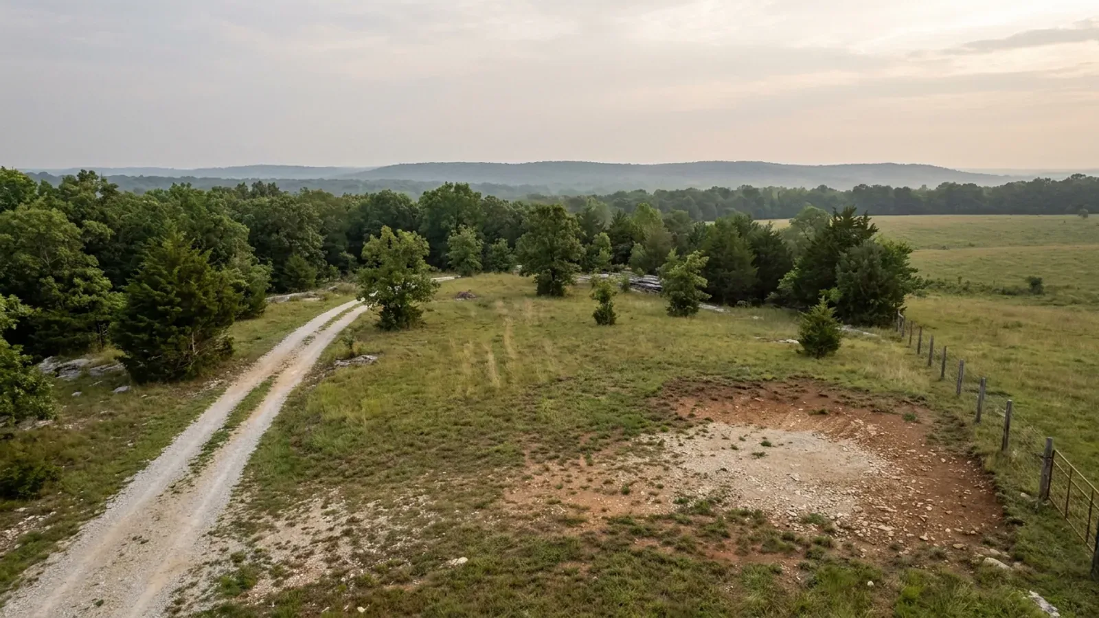
The parcel
Zoning, setbacks, flood zone and utility access get checked before anything is drawn.
Pad and permit
Clearing, grading and a compacted pad, while the submittal works through whichever office issues the permit where you are building.
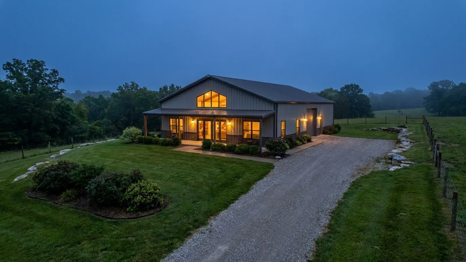
Frame to finish
Shell erected and dried in, then systems, insulation and interior finish through to CO.
Those are the rules where you are building in Stoddard County. Tell us what you want to build and we will draw it to them.
Where we build around Stoddard County
Stoddard County and the rural land around it. The buildable acreage for a project this size usually sits outside the city limits, which is frequently what changes who issues your permit.
Keep reading
The questions that usually come next once you know what Stoddard County allows.
Barndominium Cost Guide
Sourced per-square-foot ranges by tier and by size, with a calculator built on the same figures.
Read itIs It Legal in Missouri?
Classification, zoning, the HOA gate, and why "nonresidential farm building" does not cover a home.
Read itHow Long Does It Take?
Census build-duration data, and what actually sets the permit clock where you are building.
Read itNearby areas we build in
Others we cover nearby, and they are not interchangeable. One may be a county with an adopted building code, another a county with no legal authority to have one, another a city that permits inside its own limits whichever county the land sits in. So the office that issues the permit, whether anyone inspects the work at all, the fees, the zoning and the design figures can differ from one card to the next — sometimes across a single property line.
Building in Stoddard County: common questions
8 questions we get asked most often about building in Stoddard County. If yours is not on the list, ask it directly.
Do I need a building permit to put up a barndominium in unincorporated Stoddard County?
What wind speed, snow load and frost depth should the building be designed to here?
Is the New Madrid earthquake risk something a code makes me deal with?
Can I build a shop bigger than the house?
My tract is more than three acres. Does that mean no septic permit?
How bad is the water table, really?
Is my land in the floodplain, and what happens if it is?
Who inspects the work if the county does not?
Building in Stoddard County?
Start with the plan. Tell us what you want to build and we will draw it, then confirm which office issues the permit for your parcel, what it will let you put there, and what wind load it has to meet. That conversation costs nothing.