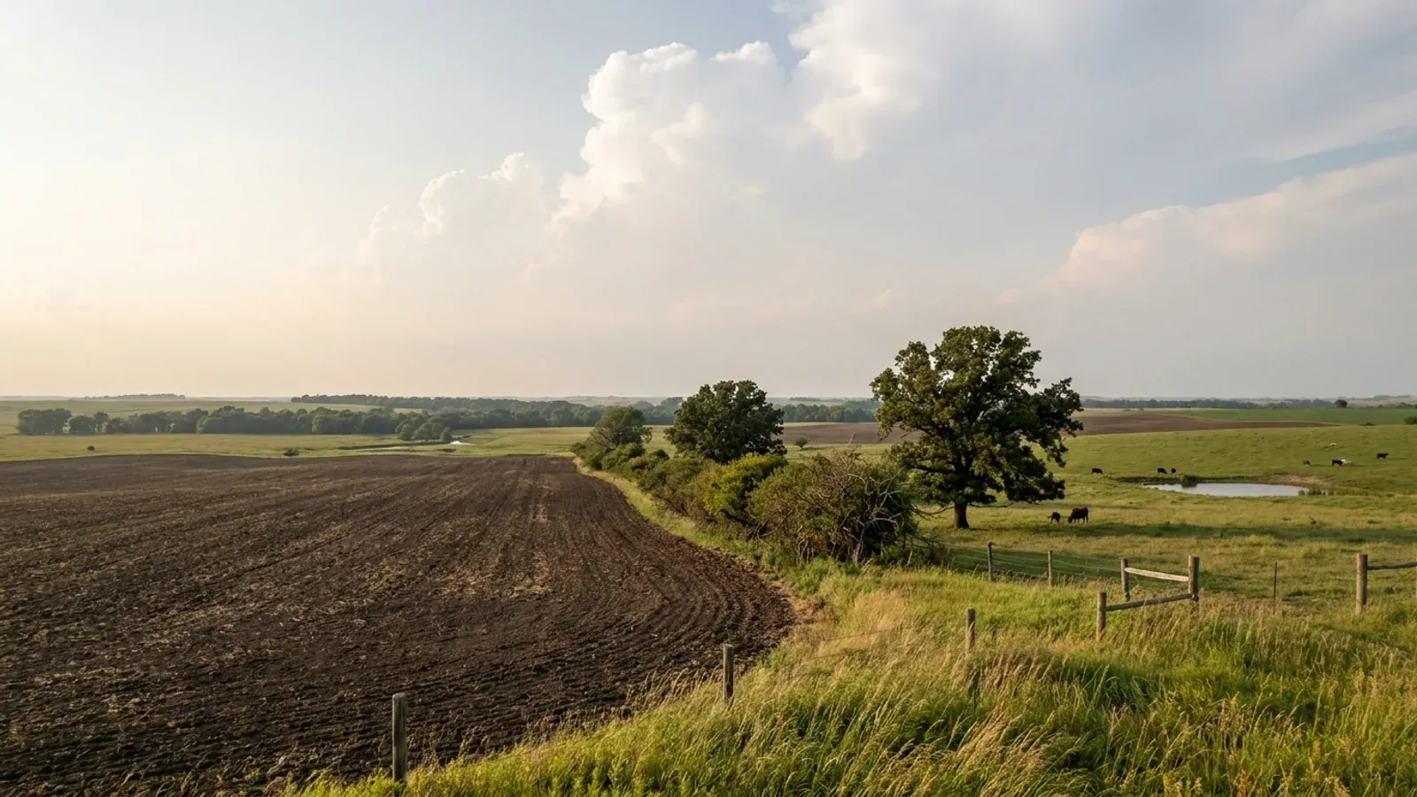
Barndominium Builders in Ray County, MO
Ray County is the answer to a question most buyers never think to ask: what happens when a county is not allowed to have a building code but decides to regulate the building anyway. It is a third-classification county, so RSMo 64.170 does not reach it and the commission could not adopt a building code if every member wanted one. There is no adopted International Residential Code in the unincorporated county, no code edition, no Table R301.2 and no published wind speed, snow load or frost line — because there is no adopted table for any of those figures to sit in. And yet Ray County Planning & Zoning issues a building permit, sends a building inspector to your footings, your rough-in and your final, and can assess a penalty of $250 to $1,000 if you started without pulling the permit first. That is not a contradiction. It is Missouri county zoning law working exactly as written: RSMo 64.865 provides that once a county with an adopted zoning plan designates an enforcement officer, no building may be erected, enlarged or altered "without a permit issued by the officer or official." The permit is a zoning permit. It is still a permit, and the inspector still comes. What that permit brings with it is the part nobody publishes. The county's own building and platting sheet sets minimum design requirements for a residential building: a 5:12 roof pitch, twelve-inch eaves excluding gutters on all four sides, no exterior side shorter than 22 feet, and a minimum of 1,000 square feet of livable space single-storey or 1,400 square feet otherwise on lots under 19 acres. It sets a minimum lot size of 3.00 acres and a zoning class keyed to acreage — R-1A from 3.00 to 8.99 acres, R-1 from 9.00 to 18.99, R-A agricultural at 19.00 and up. It allows only one residential structure per parcel. Any parcel under 40 acres that has never been platted has to be platted first, by a surveyor, in front of the Planning & Zoning Board, with fifteen days' written notice to the neighbours. What it does not do is tell you what your walls may be made of. Cross the county line west into unincorporated Clay County and the Land Development Code excludes corrugated metal panels as house siding outright. Ray County's published standards say nothing about materials at all. The rest of the answer is the ground and the water. This is Missouri River bottomland on one edge and glacial-till and loess uplands on the other, and the soil survey says the uplands are the problem: high or very high shrink-swell on roughly seven acres in ten, slow-draining hydrologic group C/D or D on about two-thirds of the survey area, and bedrock within twenty inches on only about two percent. Nearly a third of the county's mapped acreage carries an occasional or frequent flooding rating. Septic is split in an unusual way — the Health Department administers the state standards under contract inside the cities, while Planning & Zoning runs the county's own ordinance everywhere else — and either way a soil scientist's morphology report goes in with the application before anyone talks about a lateral field.
Ray County at a glance
- County
- Ray County
- Population
- 23,199
- ZIP codes
- 64085, 64062, 64035, 64077, 64084, 64036, 64024, 64017
- Site visits
- Same-week site visits across the county — Richmond and the Highway 13/10 crossroads, Lawson and Excelsior Springs on the Clay County line, Rayville and Vibbard on the ridge, and Orrick, Camden, Henrietta and Hardin down in the Missouri River bottoms
Building conditions in Ray County
Missouri sets no residential building code and no statewide way of adopting one, so the first question on any parcel is not what the code says — it is whether there is one. Only counties of the first and second classification may adopt a building code at all, and classification is set by assessed valuation rather than population, so a small county can hold the power while a much larger one does not. Zoning is a separate power with its own answer, granted only after a vote of the people and repealable by another. What changes from one jurisdiction to the next is whether the work is inspected, who issues the permit, what that office charges, how the parcel is zoned, and the design figures your drawings have to satisfy.
RSMo 64.170 (Effective 28 Aug 2008), 64.205 (Effective 28 Aug 1963), 64.850 (Effective 28 Aug 1974), 64.865 (Effective 28 Aug 1965) and 64.895 (Effective 28 Aug 1965), read from revisor.mo.gov 8 September 2026; Missouri Association of Counties, 'Missouri Counties by Classification', cover lines '(PUBLISHED MAY 2025)' and 'TOTAL COUNTIES 114', mocounties.com/s/Missouri-Counties-by-Classification-2025.pdf, downloaded and read 8 September 2026; Ray County Planning & Zoning department page and Building Permit Application, raycountymo.com, read 8 September 2026
Ray County Planning & Zoning, building and platting information sheet ('Getting a building permit for residential use'), footer 'Fee schedule updated 3-1-2023', raycountymo.com/wp-content/uploads/2025/07/Platting-Building-Info-Sheet.doc-1.pdf, read 8 September 2026 and cross-checked against the May 2025 version of the same sheet; Clay County, Missouri Land Development Code § 151-10.6 Residential Design Standards, subsections A.1, B.1, B.2, B.3 and C, page footer 'As adopted February 27, 2012; amended October 26, 2022', PDF downloaded from claycountymo.gov 8 September 2026
Ray County Planning & Zoning, building and platting information sheet, fee schedule dated 1 March 2023, and Application for Building Permit (Ray County Planning and Zoning Commission, 100 W. Main, Ste 16, Richmond, MO 64085), both raycountymo.com, read 8 September 2026
Ray County Planning & Zoning, building and platting information sheet, raycountymo.com/wp-content/uploads/2025/07/Platting-Building-Info-Sheet.doc-1.pdf, read 8 September 2026
Missouri Department of Health and Senior Services, on-site wastewater treatment construction permit process, county selector at health.mo.gov/business-professionals/onsite-wastewater-treatment/owts-construction-permit-process?county=Ray, rendered and read 8 September 2026 (validated against ?county=Camden as a known-good control and a deliberately invalid county value, which returns an empty authority block); Ray County Planning & Zoning On-Site Septic Permit Application and building and platting information sheet, raycountymo.com, read 8 September 2026; RSMo 701.031 (Effective 28 Aug 2005) and RSMo 701.047 (Effective 28 Aug 1994), revisor.mo.gov, 8 September 2026
USDA-NRCS Soil Data Access (sdmdataaccess.sc.egov.usda.gov/Tabular/post.rest), survey area MO177 'Ray County, Missouri', queried 8 September 2026. Method stated in full: denominator is the component-weighted acre total for the survey area, SUM(mapunit.muacres × component.comppct_r ÷ 100) = 367,174 acres. Bedrock depth uses corestrictions.resdept_r, which is recorded in CENTIMETRES: the 51 cm threshold is about 20 inches and the 102 cm threshold about 40 inches, counting reskind 'Lithic bedrock' and 'Paralithic bedrock' together, component-weighted and de-duplicated to one row per cokey. Shrink-swell uses chorizon.lep_r ≥ 6 (high and very high classes) and ≥ 9 (very high) in any horizon, component-weighted and de-duplicated by cokey. Flooding and hydrologic group are map-unit acres from muaggatt.flodfreqdcd and muaggatt.hydgrpdcd. A deliberately invalid survey area returns an empty result set on the same endpoint
Also worth knowing before you build in Ray County
- Richmond publishes the only design figures in the county — 20 psf, 90 mph on the 2021 IRC, 36-inch frost
- The City of Richmond, Missouri adopted the 2021 International Building Code at Code § 500.010 and the 2021 International Residential Code at § 500.120, both by Ordinance No. 2474 of 11 December 2018 as re-adopted by Ordinance No. 2636 of 13 February 2024, and it filled in Table R301.2(1) at § 500.130.A.9. Its published values are ground snow load 20 psf; wind speed 90 mph; topographic effects, no; seismic design category A; weathering, severe; frost line depth 36 inches; termite, moderate to heavy; winter design temperature 6°F; ice barrier underlayment required, yes; air freezing index 1,000°F-days; mean annual temperature 53°F. Two of those deserve a second look. The 90 mph figure sits in a 2021 edition table, and the 2018 and 2021 editions of the code both express wind as an ultimate design speed rather than the older nominal one — so this is not the familiar case of two jurisdictions being compared across incompatible conventions, and the difference from the 115 mph published a county or two west is not explained by the edition. Both numbers are what their own adopting jurisdictions publish, and both are stated here without being reconciled. The city also amends the frost rule directly: § 500.130.A.16 replaces the exceptions in IRC R403.1.4.1 with 'building under two hundred (200) square feet', and § 500.130.A.25 adds a 36-inch frost depth to the sewer-depth section. Detached accessory structures up to 200 square feet, not used for sleeping, are exempt from a permit under the city's amended R105.2.1.
- One county, three code generations — and Lawson is on the 2006 books
- There is no single answer to 'what code applies in Ray County', and the spread is eighteen years wide. Unincorporated Ray County has no building code and is not permitted to adopt one. The City of Richmond runs the 2021 International Building Code and the 2021 International Residential Code. The City of Lawson adopted the 2006 editions of the International Building Code, Residential Code, Fire Code, Fuel Gas Code, Mechanical Code, Plumbing Code and Property Maintenance Code, together with the 2005 National Electrical Code, by Ordinance No. 8-12-02 of 22 December 2008 and Ordinance No. 09-3-02 of 16 March 2009, and it has amended almost nothing in them since — its only change to the residential code is to the re-roofing section, whose exceptions expressly permit 'standing-seam metal roof systems' and the installation of 'metal panel, metal shingle and concrete and clay tile roof coverings' over existing wood shakes. Lawson publishes no Table R301.2 of its own, so the only design figures adopted anywhere in the county are Richmond's. Lawson does carry one rule a barndominium buyer should read before planning to move in early: Code § 500.120, from Ordinance No. KK205 of 7 October 1974, declares that 'All basement houses, mobile homes and unfinished building structures or other temporary housing units are hereby declared to be a public nuisance and dangerous and detrimental to the public health and welfare, and shall not be erected, placed or stored in any area of the City zoned for residential purposes.'
- Lawson and Excelsior Springs each sit in two counties at once
- Two of the places people actually shop for commutable acreage here are legally in both Ray County and Clay County. The Census Bureau's own place-by-county reference file lists Lawson city under Clay County (29|047) and under Ray County (29|177), and Excelsior Springs city the same way. That is not a rounding detail. Inside either city's limits, that city's code governs and the county line is invisible. Step outside the limits and the line decides everything: unincorporated Clay County is a charter county running a Land Development Code with residential design standards that exclude corrugated metal panels as siding, while unincorporated Ray County is a third-classification county with no building code at all and no material restriction. Even the federal flood mapping splits: the National Flood Insurance Program lists Lawson under Clay County with a currently effective map date of 3 August 2015, while every Ray County community carries 19 June 2012. The practical instruction is boring and important — before you buy, establish which county the parcel is in and whether it is inside a city, because both answers change who issues the permit.
- Four fire protection districts, and none of them is a building department here
- The Missouri Division of Fire Safety's Fire Departments by County report, generated 8 September 2026, lists four registered services with a Ray County address: the Hardin Fire Protection District, the Lawson Fire & Rescue Protection District, the Orrick Fire Protection District — all three Chapter 321 districts — and the Richmond Fire Department, a municipal department. Ray County 9-1-1 also dispatches the Stet and Wood Heights fire protection districts and the Ray County Ambulance District, so a given address may sit under a district headquartered outside the county. This matters because a Missouri fire protection district can, under RSMo 321.220(12), adopt fire ordinances whose standards are drawn from nationally recognised codes — but RSMo 321.228 closes that route wherever the local government already regulates. Its subsection 1(2) defines a 'residential construction regulatory system' to include 'any permitting system, or program relating to residential construction' and 'any system or program for the inspection of residential construction', and subsection 2 provides that where a county adopts, implements and enforces one, 'any fire protection districts wholly or partly located within such city, town, village, or county shall be without power, authority, or privilege to enforce or implement' one there. Ray County runs exactly such a programme. Nothing published by the Hardin district — which describes itself as covering 80 square miles of the county's south-eastern corner with fire, rescue, hazmat, first responder, EMS and fire prevention services — or by the Lawson district claims an adopted building or residential code. Districts do keep final say on hydrant location and specification, hydrant flow rates and fire lanes, and may inspect alterations, enlargements, replacements and repairs of one- and two-family dwellings, and may not charge a fee for either.
- The farm-building exemption stops at the flood hazard area map
- Missouri's county zoning statutes carve farm buildings out of county regulation, and both of the alternative statutory routes a county of this classification may use carry the identical sentence. RSMo 64.890.2 and RSMo 64.620.2 each provide that the section 'shall not apply to the incorporated portions of the counties, nor to the raising of crops, livestock, orchards or forestry', and then add the limit that matters here: 'This section shall not apply to the erection, maintenance, repair, alteration or extension of farm buildings or farm structures used for such purposes in an area not within the area shown on the flood hazard area map.' In a county with the Missouri River along its southern edge and roughly thirty percent of its mapped acreage carrying a flooding rating, that clause has real reach — the exemption a genuine farm building enjoys on the uplands is not the same exemption in the bottoms. And the exemption is about farm buildings used for farming, not about a dwelling. A barndominium is a house; the moment the building is a residence it is a house that happens to look like a shop, and Ray County prices it as one at forty cents a square foot of livable space. The county's own fee sheet shows how it draws the line: agricultural use, $0.00 permit plus a $60 final inspection; non-agricultural garage or outbuilding of 120 square feet and up, $150; dwelling, by the square foot.
- You may not live in the shop, or the camper, while the house goes up
- Ray County states it in one sentence on its Planning & Zoning page: 'The use of recreational vehicles or accessory buildings as dwelling units, shall be prohibited, even during periods of construction of a principal dwelling unit on the same property unless you have an approved hardship permit.' That closes off the finish-it-as-you-go route a lot of owner-builders plan around, and it is the county's answer to the shop-first sequencing question. The related rule is the accessory dwelling unit, and Ray County caps it in an unusual place — not on the size of the accessory building, but on the dwelling inside it. Under § 60.3.A of the zoning regulations an accessory dwelling unit that is never rented is permitted in the R-A, R-1 and R-1A districts and allowed elsewhere only by conditional use permit; there may be no more than one per lot; it must be inside the principal structure or a separate unit within 100 feet of it; it 'shall not have a separate address or utilities from the primary residence, whether attached or detached'; it may not exceed 33 percent of the principal dwelling or 850 square feet, whichever is greater; and it is limited to two bedrooms. The kitchen limit is written at the level of the fixtures: a single-basin hospitality sink of 16 by 16 inches maximum, a refrigerator of 16 cubic feet or less, a microwave, a built-in oven and a dishwasher are permitted, while 'Range top/stove/burners/hot plates' and a double-basin kitchen sink are not.
- Four of the county's ten flood-programme communities are outside it
- Every community in Ray County shares one currently effective flood map date, 19 June 2012, and that map is what a floodplain development permit from Planning & Zoning is issued against. Six of the ten communities the federal programme lists here participate in it: unincorporated Ray County, Richmond, Hardin, Henrietta, Orrick and Crystal Lakes. Four do not — Camden, sanctioned 28 May 1977; Wood Heights, 5 November 1977; and the village of Elmira and the city of Fleming, both 19 June 2013. Non-participation has a direct, unromantic consequence for a buyer: federally backed flood insurance is not written in a community that is outside the programme, which can be the difference between a lender approving a bottomland parcel and declining it. It is worth checking the community, not just the county, before an offer — and worth remembering that the flood map is also the boundary the farm-building exemption in RSMo 64.890.2 stops at.
- 958 farms, 259,143 acres, and a county that is 83 percent crops by sales
- The 2022 Census of Agriculture counts 958 farms in Ray County working 259,143 acres, averaging 271 acres each — an average holding that is larger than any of the four central Kansas City metro counties. Land in farms breaks down as 167,501 acres of cropland, 51,011 acres of pastureland, 29,019 acres of woodland and 11,612 acres of other, with 4,824 acres irrigated. Crops account for 83 percent of the value of agricultural products sold and livestock, poultry and products for 17 percent, which is the profile of the Missouri River bottoms rather than of the pasture counties further east. Land in farms fell 10 percent from 2017 while the average farm size fell 3 percent and the number of farms rose 9 percent. That combination — a lot of acreage, in big blocks, in a county where a new parcel under 40 acres has to be platted before anyone builds on it — is why the platting step, not the building permit, is usually the long pole in a Ray County timetable.
- Where the county sits, and how far the metro reaches
- Ray County covers 568.979 square miles of land and 5.181 square miles of water, with its geographic centre at 39.3084 N, 93.9957 W, and a 2024 population estimate of 23,199 — a figure that has moved by fewer than 400 people in either direction since 2020. It is one of the outlying Missouri counties of the Kansas City metropolitan statistical area, and the commute shed does not reach evenly across it. Lawson and Excelsior Springs in the north-west corner sit on the Clay County line and function as Kansas City exurbs; Orrick in the south-west is twenty-odd minutes from the eastern edge of Jackson County across the Missouri River; Richmond, the county seat, is a genuine small town at the crossroads of Highways 13 and 10; and Hardin, Henrietta, Camden and the eastern townships are agricultural in a way that owes nothing to the metro. The county's fifteen census places also include Crystal Lakes, Elmira, Excelsior Estates, Fleming, Homestead and Wood Heights, plus the census-designated places of Rayville and Vibbard.
- The zoning programme was adopted in 2005, and the voters can end it
- The Ray County Planning & Zoning Regulations carry the line 'Adopted June 2005' on their own title page and again in the footer of every page. Under Missouri law a county of this classification cannot simply decide to zone: RSMo 64.845 and RSMo 64.530 each require the question 'Shall county zoning be adopted?' to go to the voters first, and RSMo 64.885 provides the combined planning-and-zoning version of the same ballot question. The reverse is also true and is worth knowing, because it is the one lever a landowner here actually has. RSMo 64.900 provides that on a petition signed by voters equal to five percent of the county's turnout at the last governor's election, the commission must put continuation or termination on the ballot, and that if a majority vote to terminate, 'Any resolution, ordinance or regulation adopted under the program ... shall be void and of no effect from and after the termination of the program.' A county building code, by contrast, is not on the table in either direction — the classification decides that, and only a change in assessed valuation could change the classification.
City of Richmond, MO Code §§ 500.010, 500.020, 500.120 and 500.130 (R.O. 2001; Ord. No. 2474, 12-11-2018; Ord. No. 2636, 2-13-2024), ecode360.com/RI3416, nodes 28993530 and 28993557, read 8 September 2026 with the page title verified as 'City of Richmond, MO' in the same read and the Table R301.2(1) row re-read from an independent second navigation to node 28993559. The codifier's editor's note on Chapter 500 records that §§ 500.010 through 500.370 were repealed 12-11-2018 by Ord. No. 2474, so the text read is the replacement chapter as re-adopted in 2024
City of Lawson, MO Code §§ 500.010 through 500.090 (R.O. 2013; Ord. No. 8-12-02 §§ 1—2, 12-22-2008; Ord. No. 09-3-02 §§ 1—2, 3-16-2009) and § 500.120 (R.O. 2013 § 225.090; Ord. No. KK205, 10-7-1974), ecode360.com/LA3346, nodes 27947294, 27947297 and 35967985, read 8 September 2026 with the page title verified as 'City of Lawson, MO' in the same read; City of Richmond, MO Code §§ 500.010 and 500.120, ecode360.com/RI3416, read 8 September 2026
United States Census Bureau, 2020 place-by-county reference file st29_mo_place_by_county2020.txt, www2.census.gov/geo/docs/reference/codes2020/place_by_cou/, downloaded 8 September 2026 (a deliberately invalid filename on the same path returns the host's true 404); OpenFEMA NfipCommunityStatusBook v1, queried 8 September 2026; Clay County, Missouri Land Development Code § 151-10.6, claycountymo.gov, read 8 September 2026
Missouri Division of Fire Safety, 'Registered Fire Departments — Missouri', Fire Departments by County report, apps1.mo.gov/fsreg/dl.ashx?f=report&k=fdco&o=pdf, report timestamp 9/8/2026, downloaded and read 8 September 2026; RSMo 321.220 (Effective 28 Aug 2025) and RSMo 321.228 (Effective 28 Aug 2012), revisor.mo.gov, read 8 September 2026; Hardin Fire Protection District page, cityofhardin.com/fire-district/, and City of Lawson fire department page, lawsonmo.gov/fire-department/, and Ray County 9-1-1 dispatch support page, raycountymo911.com/dispatch-support/, all read 8 September 2026
RSMo 64.890 (Effective 04 Mar 1991) and RSMo 64.620 (Effective 04 Mar 1991), read from revisor.mo.gov 8 September 2026; Ray County Planning & Zoning building and platting information sheet, fee schedule dated 1 March 2023, raycountymo.com, read 8 September 2026
Ray County Planning & Zoning department page, raycountymo.com/index.php/county-planning-zoning/, read 8 September 2026; Ray County Planning & Zoning Regulations § 60.3 Accessory Uses, subsection A Accessory Dwelling Units, published at raycountymo.com/wp-content/uploads/2025/12/Accessory-Dwelling-Units.pdf and republished by the Mid-America Regional Council at marc.org/document/adu-ordinance-ray-county-mo, both read 8 September 2026
OpenFEMA NfipCommunityStatusBook v1 (fema.gov/api/open/v1), filtered on state 'MO' and county 'RAY COUNTY', 10 rows returned and read field by field 8 September 2026; a query on an invented county name on the same endpoint returns zero rows
USDA National Agricultural Statistics Service, 2022 Census of Agriculture county profile for Ray County, Missouri, cp29177.pdf, nass.usda.gov, downloaded and read 8 September 2026 (a county profile for a nonexistent FIPS code on the same path returns the host's true 196-byte 404)
United States Census Bureau 2024 Gazetteer county file (land and water area, internal point 39.308401 / -93.995746) and Vintage 2024 county population estimates co-est2024-alldata.csv (POPESTIMATE2024 = 23,199 for GEOID 29177), both from www2.census.gov, downloaded 8 September 2026; 2020 place-by-county reference file st29_mo_place_by_county2020.txt for the fifteen places, same host, downloaded 8 September 2026
Ray County Planning & Zoning Regulations (Adopted June 2005), Article 60 Use Regulations, title page and page footers, published by the county as 'Zoning District Use Tables Standards' at raycountymo.com/wp-content/uploads/2025/09/Zoning-District-Use-Tables-Standards-Table.pdf, rendered and read 8 September 2026; RSMo 64.845 (Effective 28 Aug 1978), 64.530 (Effective 28 Aug 1978), 64.885 (Effective 28 Aug 1978) and 64.900 (Effective 07 Apr 1988), revisor.mo.gov, read 8 September 2026
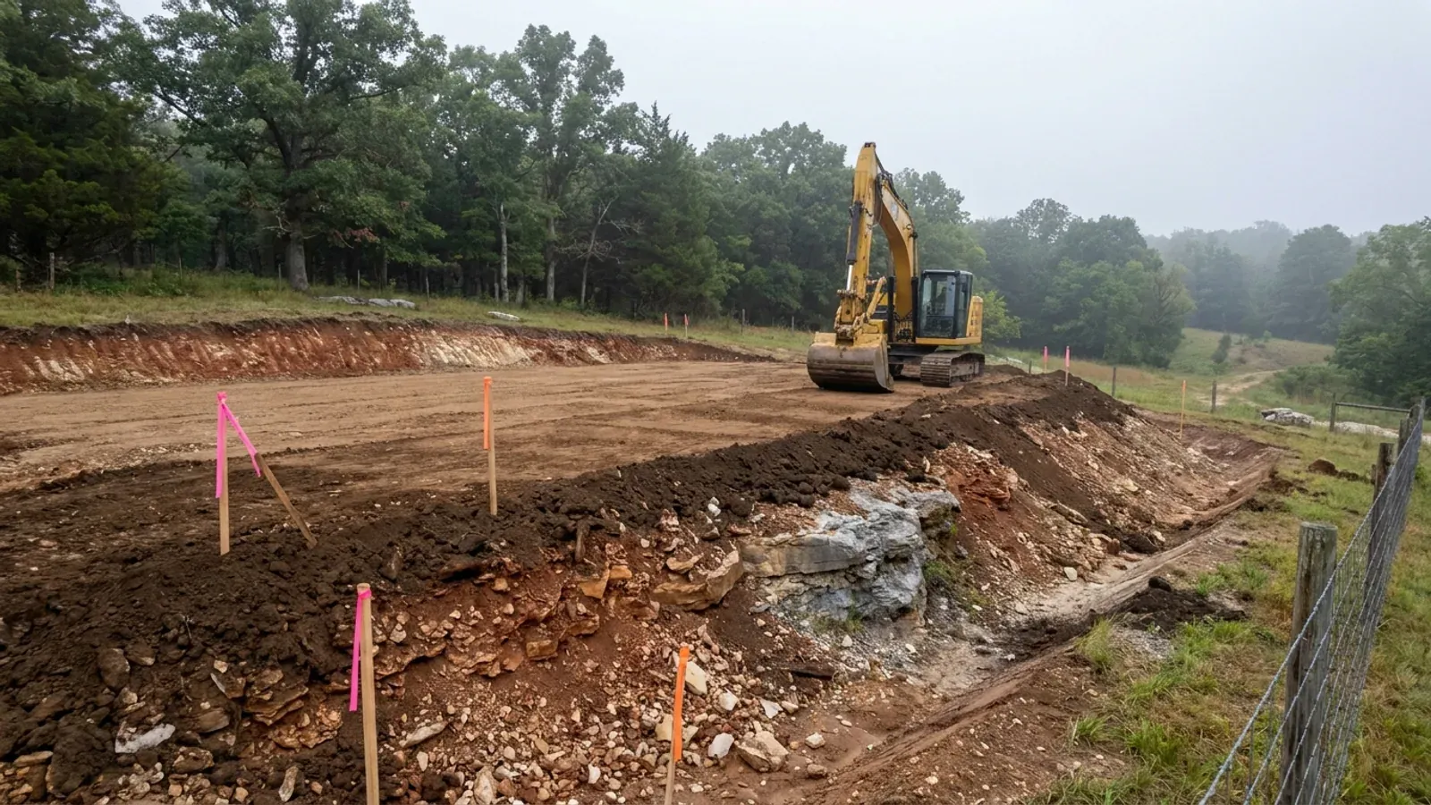
The expensive surprises are in the ground, not the building
What moves a Missouri budget is usually below grade, and which problem you have depends on where in the state you are. Across the Ozarks it is karst: the Department of Natural Resources maps more than sixteen thousand sinkhole points, and what matters there is what is under the slab rather than what the slab sits in. Across the north and centre it is claypan — dense, slow-draining subsoil that perches water above it for months of the year. In the Bootheel it is deep alluvium carrying the highest seismic demand in the state, where the same soils modelled for liquefaction attack post embedment and slab bearing rather than the frame above them. The same ground then decides the septic system, and Missouri does not run that on a percolation test alone: the rule allows a perc test or a soil morphology examination in a profile pit, and the authority reviewing your parcel picks which. Where a drainfield sits near a sinkhole's drainage, perc testing on its own is not permitted at all. Whether that authority is the state or your own county is itself a local question, and it changes what you have to file. So the site work, the foundation and the drainfield get resolved together rather than one at a time. We price the dirt before we price the building.
What we build in Ray County
All nine services are available in Ray County. What a build costs depends far more on the parcel than on square footage, so we price against your land rather than publishing a rate card.
Custom Plans
Barndominium floor plans drawn to your parcel and your soil, and to whichever Missouri authority — a county, a city, or none at all — will review them.
Barndominium Kits
Barndominium shell packages delivered to your Missouri land, drawn to the criteria your own county or city publishes — because the state publishes none.
Turnkey Builds
Start to finish barndominium construction in Missouri: the permits that genuinely apply, site work, shell and interior finish, under one contract.
What a build looks like
Three stages every Ray County project passes through, from a raw parcel to a finished home. Site work first, because that is where the budget is decided.
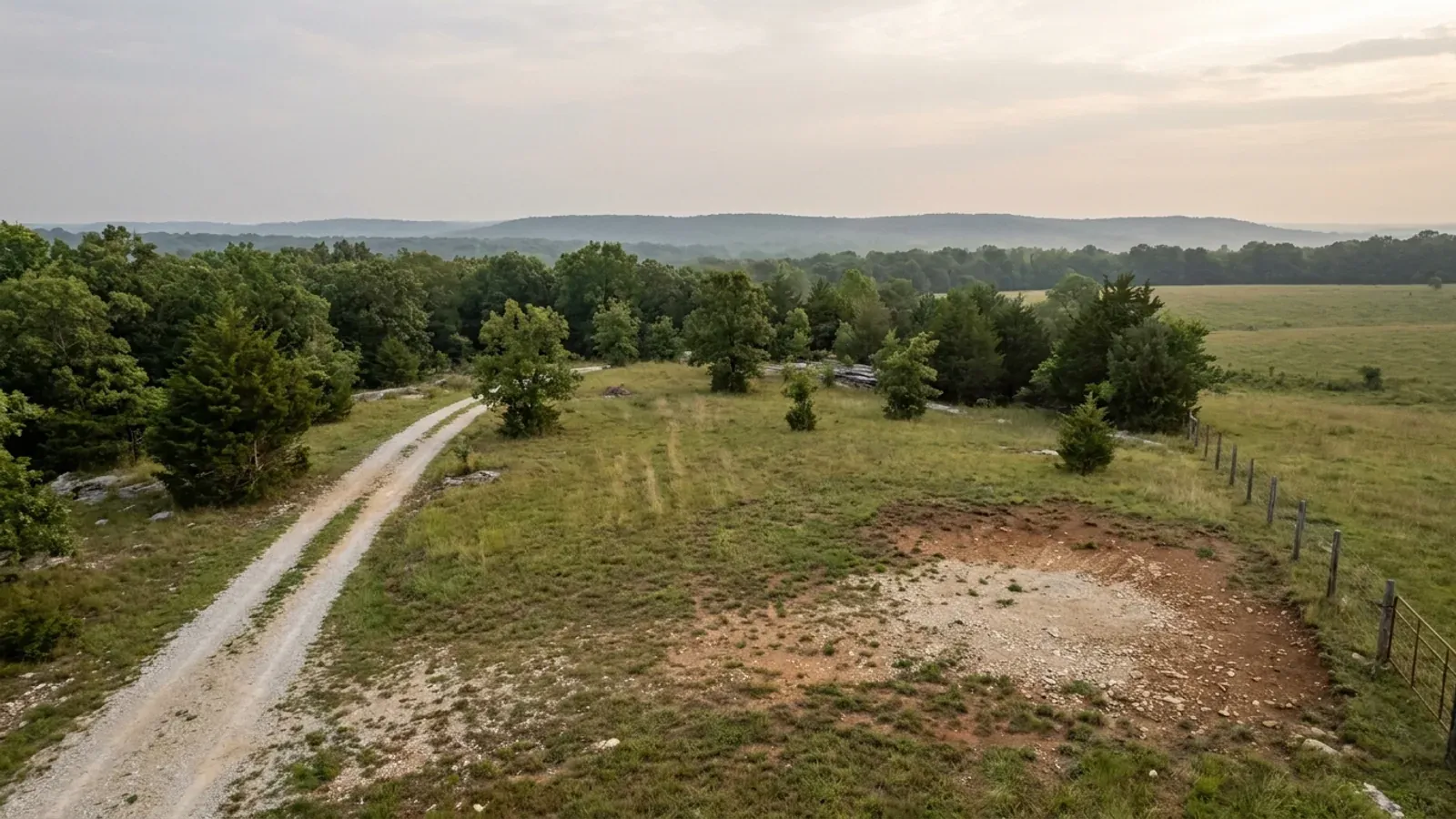
The parcel
Zoning, setbacks, flood zone and utility access get checked before anything is drawn.
Pad and permit
Clearing, grading and a compacted pad, while the submittal works through whichever office issues the permit where you are building.
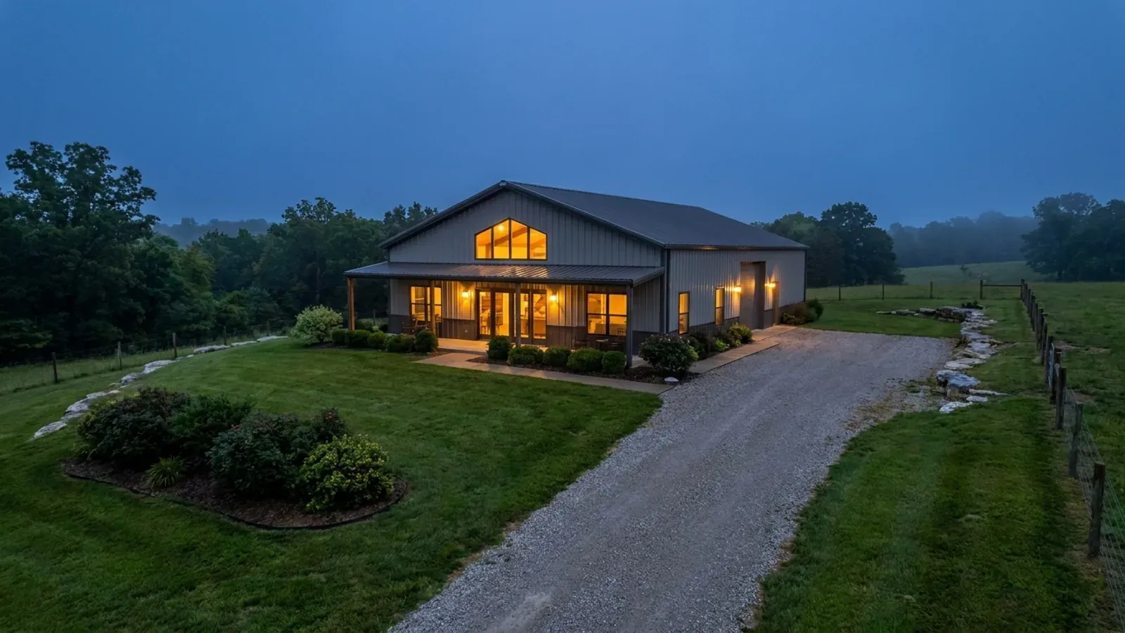
Frame to finish
Shell erected and dried in, then systems, insulation and interior finish through to CO.
Those are the rules where you are building in Ray County. Tell us what you want to build and we will draw it to them.
Where we build around Ray County
Ray County and the rural land around it. The buildable acreage for a project this size usually sits outside the city limits, which is frequently what changes who issues your permit.
Keep reading
The questions that usually come next once you know what Ray County allows.
Barndominium Cost Guide
Sourced per-square-foot ranges by tier and by size, with a calculator built on the same figures.
Read itIs It Legal in Missouri?
Classification, zoning, the HOA gate, and why "nonresidential farm building" does not cover a home.
Read itHow Long Does It Take?
Census build-duration data, and what actually sets the permit clock where you are building.
Read itNearby areas we build in
Others we cover nearby, and they are not interchangeable. One may be a county with an adopted building code, another a county with no legal authority to have one, another a city that permits inside its own limits whichever county the land sits in. So the office that issues the permit, whether anyone inspects the work at all, the fees, the zoning and the design figures can differ from one card to the next — sometimes across a single property line.
Building in Ray County: common questions
8 questions we get asked most often about building in Ray County. If yours is not on the list, ask it directly.
Do I need a building permit to build a barndominium in unincorporated Ray County?
Can I put metal siding and a metal roof on a house in Ray County?
I bought ten acres split off a bigger farm. Can I just build?
Who permits the septic system, and does the three-acre rule get me out of it?
Can I live in the shop or a camper while the house is being finished?
What is the ground like, and what does that mean for the slab?
My address is in Lawson. Is that Ray County or Clay County?
Is there anything a fire district can require of my build here?
Building in Ray County?
Start with the plan. Tell us what you want to build and we will draw it, then confirm which office issues the permit for your parcel, what it will let you put there, and what wind load it has to meet. That conversation costs nothing.