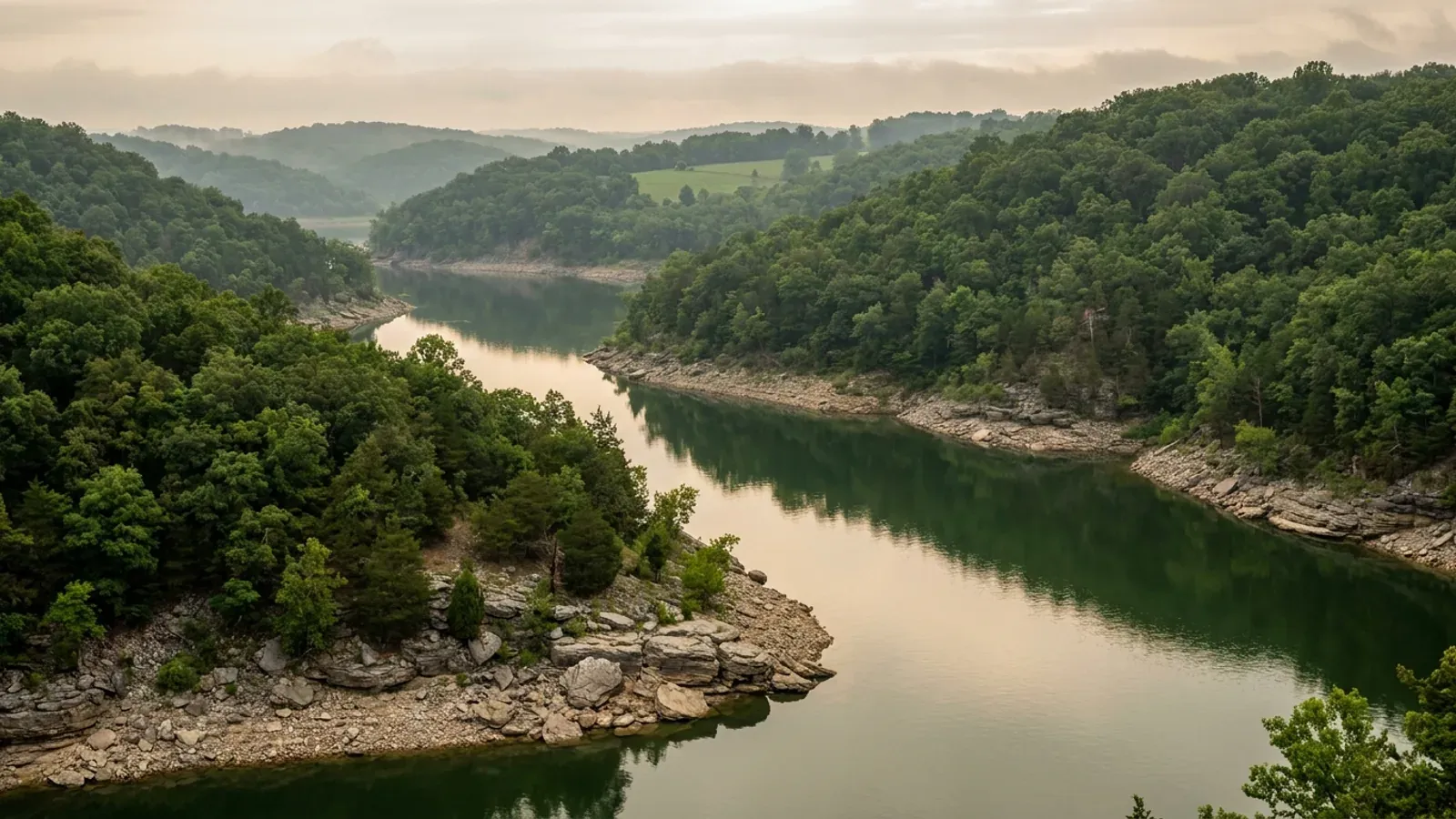
Barndominium Builders in The Lake of the Ozarks, MO
The Lake of the Ozarks is one market spread across three counties that belong to no metropolitan or micropolitan area at all, so it is invisible on the maps most builders' service pages are drawn from. It is also three different statutory regimes. Camden County is a first-classification county on 44,135 people — the same class as Boone County at 192,154 — so it may lawfully adopt a building code, and its own compiled ordinance book from 1997 forward shows it never has. Miller County (25,668) and Morgan County (22,399) are third classification, and RSMo 64.170 does not empower a third-classification county to adopt one at all. None of that means nobody inspects. The Mid-County Fire Protection District enforces the 2024 International Residential Code across 227 square miles of central Camden County and runs residential plan review and inspections; the Lake Ozark Fire Protection District has adopted the International Residential Code inside its own boundaries and issues building permits for houses. Inside Osage Beach, Lake Ozark and Camdenton the city permits — and Osage Beach and Lake Ozark each straddle the Camden/Miller line, while Laurie and Sunrise Beach each straddle a Camden/Morgan line, so the city limit matters more than the county line for the question of who signs your permit. What ties the whole market together is the water: Ameren Missouri holds a federal licence over 1,150 miles of shoreline and everything inside a project boundary that runs at the 662-foot contour, and a lakefront lot loses the three-acre septic exemption that the rest of Missouri relies on.
The Lake of the Ozarks at a glance
- County
- Camden County
- Cities & counties covered
- Camden County 44,135 · Miller County 25,668 · Morgan County 22,399
- Site visits
- Same-week site visits around the whole lake — Camdenton and Osage Beach, up the Gravois arm to Laurie and Sunrise Beach, across to Lake Ozark and the Horseshoe Bend, and out into the farm ground in Miller and Morgan
Building conditions in The Lake of the Ozarks
Missouri sets no residential building code and no statewide way of adopting one, so the first question on any parcel is not what the code says — it is whether there is one. Only counties of the first and second classification may adopt a building code at all, and classification is set by assessed valuation rather than population, so a small county can hold the power while a much larger one does not. Zoning is a separate power with its own answer, granted only after a vote of the people and repealable by another. What changes from one jurisdiction to the next is whether the work is inspected, who issues the permit, what that office charges, how the parcel is zoned, and the design figures your drawings have to satisfy.
Missouri Association of Counties, 'Missouri Counties by Classification', published May 2025 (PDF downloaded and read 8 September 2026); U.S. Census Bureau, Vintage 2024 County Population Estimates, co-est2024-alldata.csv, www2.census.gov, fetched 8 September 2026; RSMo 48.020 (A.L. 2026 H.B. 1825, effective 28 August 2026) and RSMo 64.170 (A.L. 2008 S.B. 1181, effective 28 August 2008)
Mid-County Fire Protection District, mcfpd.org Codes and Permits page and 'Residential-Packet-12-25.pdf' (revised 12/2025), both fetched 8 September 2026; Lake Ozark Fire Protection District, lofpd.com Business Resources page listing its currently adopted code sets and ordinances 13-002 to 14-001, fetched 8 September 2026; RSMo 321.220(12), effective 28 August 2025
U.S. Census Bureau, Vintage 2024 Subcounty Population Estimates, sub-est2024_29.csv, SUMLEV 157 (place part within county), fetched from www2.census.gov 8 September 2026; Lake Ozark Municipal Code § 500.100.A, B (R.O. 1994 § 501.010; Ord. No. 2009-21, 12 May 2009)
Osage Beach Municipal Code § 500.037, amended Table R301.2(1) (Ord. No. 13.88, 12-19-2013; Ord. No. 16.18, 5-19-2016; Ord. No. 21.23, 5-20-2021; Ord. No. 26.35, 4-16-2026); Camdenton Municipal Code § 500.030.B, amended Table R301.2 (Ord. No. 3115-26, 7-7-2026); Lake Ozark Municipal Code § 500.020.B.4, amended Table R301.2(1) (Ord. No. 2009-21, 5-12-2009; Ord. No. 2013-37, 11-26-2013), all read from the municipalities' codified ordinances 8 September 2026; Kansas City comparison from KCMO Code § 18-57
Lake Ozark Municipal Code, Zoning, Article IV District Regulations, 'R-1' Single-Family Dwelling District, Architectural Design Standards (Ord. No. 2017-39, 11-28-2017); Osage Beach Municipal Code § 405.140, District R-1a, subsections B, F and G (R.O. 2009 § 405.140; Ord. No. 20.72, 11-19-2020); Camden County Unified Land-Use Code revised effective 1 January 2022, Article 200 definitions and Article 900 — all read 8 September 2026
RSMo 701.031 (L. 1986 H.B. 1101 § 4, A.L. 2005 H.B. 617, effective 28 August 2005), rendered from revisor.mo.gov 8 September 2026; Camden County Waste Water Department requirements page, camdencountymo.gov, fetched 8 September 2026; Morgan County Health Center, Waste Water page, morgancountyhealthcenter.com, fetched 8 September 2026; Missouri DHSS OWTS Construction Permit Process county selector, health.mo.gov, queried for Camden (Camden County Wastewater Dept., Authority Type: Ordinance), Miller (DHSS, Authority Type: DHSS) and Morgan (Morgan County Health Center, Authority Type: Ordinance) on 8 September 2026
Also worth knowing before you build in The Lake of the Ozarks
- Ameren's shoreline licence, and what the 662-foot line actually is
- Ameren Missouri operates the Osage Project, FERC No. 459, under a 40-year federal licence issued in 2007, and its Shoreline Management Plan governs everything inside the FERC project boundary. The plan's own numbers: approximately 1,150 miles of shoreline, a surface area of about 94 square miles, and a project boundary that 'generally follows an elevation of 662 (U.E. Datum) above Bagnell Dam' — two feet above full pool of 660.0 — and runs higher than 662 in places to protect project resources. Ameren states that all proposed shoreline improvements including docks, seawalls, piers, pumps and other structures around the lake must be permitted by Ameren before construction, and its permit table extends to decks, patios, walkways, boat ramps, riprap, breakwaters, vegetation removal, landscape plantings, minor access roads and utility lines inside the boundary. That permit is separate from, and additional to, any city, county or fire-district permit. Camden County's land-use code stitches the two together: it sets the lakefront setback for a lakefront residential lot at zero feet, then adds that new development must still comply with the county floodplain ordinance, with Ameren Missouri's project boundary and rules, and with the platted property lines — its own worked example being a parcel platted to 665 feet where Ameren's boundary is 662.
- In unincorporated Camden County the permit is a zoning permit, not a building permit
- Camden County has a Unified Land-Use Code, effective 1 June 2004, modified August 2006 and revised effective 1 January 2022. What it issues is a Zoning Permit. Section 502 states that 'in compliance with RSMo. Section 64.650, no building or structure can be erected, modified, altered, or relocated without approval by the Planning Administrator' and that the requirement 'is intended to ensure compliance with zoning requirements such as applicable setbacks, height requirements, parking, access, provision of utility services'. The process in Section 503 is a completed application, a site plan, proof of ownership, approvals from the fire, water and sewer districts and MoDOT where applicable, and then a site visit 'to establish that the required setbacks will be met'. Nothing in it is a plan review of your framing. Section 513 exempts agricultural use from any permit or plan review, and Section 502 adds that 'a construction permit shall not be required for any agricultural structure' — but the exemption is tied to the RSMo 137.016 agricultural definition the code quotes, and a dwelling is not in it. The county's own published fee schedule sets the single-family residential structure permit at $100.00, a single-family accessory structure at $50.00, and a zoning permit at $75.00.
- Camdenton writes a post-frame building standard — and it stops at the house
- Camdenton § 500.080, the City of Camdenton Post Frame Building Standard, is one of very few Missouri instruments written specifically for this construction type, and its scope line is the one a barndominium buyer needs to read. It applies to post frame buildings 'intended for agricultural or residential secondary or accessory building uses', is capped at 1,600 square feet (agricultural buildings excepted), 14 feet of sidewall, one storey, 40 feet of width and a 16-foot maximum opening — and then says in terms that 'buildings designed and constructed under the provisions of this standard are not intended for residential or commercial uses' and that 'post frame buildings intended for residential or commercial use shall have structural and architectural plans prepared by a design professional licensed by the State of Missouri'. Its prescriptive numbers are worth knowing anyway: a 20 psf roof snow load, a 4 psf dead load for a metal roof covering, a 115 mph ultimate design wind speed at exposure B or C, an assumed soil bearing capacity of 1,500 psf, four feet of post embedment, and footing diameters running 15 to 18 inches by building width. The rock allowance is pure Ozarks: where bedrock forces it, embedment may drop to as little as 30 inches with knee bracing and a full concrete backfill to grade, and below 30 inches the standard does not apply at all.
- Karst is the reflex answer here and the mapped data does not support it
- The Lake of the Ozarks is in the Ozarks, so 'sinkholes' is what people expect to hear. The state's own inventory says otherwise for this particular ground. Missouri DNR's sinkhole layer holds 16,001 mapped points statewide; intersected against the Census county boundaries on 8 September 2026 it returns 91 points in Camden County, 10 in Miller and 7 in Morgan — against 1,471 in Greene County and 1,474 in St. Louis County. The constraint on this shoreline is not solution cavities, it is slope and shallow dolomite. Ameren's own Shoreline Management Plan reports that NRCS identifies the Niangua-Bardley association as the predominant soil around the lake and describes it as 'deep and moderately deep, well drained, moderately sloping to very steep, very cherty, silty soils; on uplands', naming slope, shrink-swell potential, erosion hazard and depth to bedrock as the management concerns. The Bardley official series description puts depth to bedrock at 20 to 40 inches over dolomite, surface gravel or flagstone at 15 to 70 percent by volume, slopes from 2 to 100 percent, and a clay subsoil; the Moko series, a major component in Miller County, is 4 to 20 inches to bedrock. Set that against a 24-inch frost line and the arithmetic is stark: on a great many of these parcels the footing depth and the rock are the same number.
- A second-home market on farm ground — do not size it by residents
- Resident population understates this market badly, because a large share of the building here is second homes, retirement moves and short-term rentals rather than primary residences. The land supply behind it is real and it is agricultural. USDA's 2022 Census of Agriculture county profiles record 147,003 acres in farms in Camden County at an average farm size of 276 acres; 242,451 acres in farms in Miller County at an average of 277 acres; and 213,322 acres in Morgan County at an average of 245 acres. Twenty minutes back from the shoreline in Miller or Morgan is open farm country with large holdings and no county zoning, and it is a different build and a different budget from a lot on the water — where the county's zoning permit, the fire district's plan review, Ameren's shoreline permit and a septic permit that acreage cannot waive all apply to the same parcel.
- The energy chapter is deleted three different ways
- Every one of the three lake cities adopts a residential code and then removes its energy chapter, and no two of them do it the same way. Osage Beach's 2024 IRC amendments delete 'Chapter 11. Energy Efficiency' in its entirety and insert nothing. Camdenton deletes Chapter 11 of the 2024 IRC and inserts 'Chapter 11 Energy Efficiency of the 2012 International Residential Code', and separately deletes Chapter 13 Energy Efficiency from the 2024 IBC and strikes the International Energy Conservation Code from its definitions. Lake Ozark deletes Chapter 11 of the 2012 IRC and inserts Chapter 11 of the 2006 IRC. None of the three adopts an IECC. That is the single most important thing to know before pricing insulation on a metal-skinned building here, because the envelope is where the money is and the governing text is different in each town.
- Camden County could adopt a code, and its own ordinance book shows it never has
- First classification means Camden County falls inside the RSMo 64.170 grant, so unlike its two neighbours it is legally free to adopt a building code. It has not. The county's own departments index carries no building department. Its compiled ordinance book, published by the County Clerk and running from 1997 through 2024, has no building-code ordinance in it — the subjects are clean water, animal feeding operations, floodplain management, sewer districts, speed limits, nuisances, food establishments, animal control, E-911 addressing and community improvement districts. And the Unified Land-Use Code itself gives the game away in the way it words its own manufactured-home provision, requiring a remodelled home to be certified 'by the jurisdictional building code authority, if one exists, or by a Professional Engineer licensed to do business in the state of Missouri'. One consequence a buyer should know: RSMo 64.170(2) provides that a county which had not adopted a building code before 28 August 2001 may not adopt one unless the authority is approved by the voters — and under subsection 3 only voters in the unincorporated area affected get to vote on it.
Ameren Missouri, 'Shoreline Management Plan, Osage Project, FERC No. 459, Rev. 2, March 2017', §§ 1.3 and 3.1 and Table 4 (PDF downloaded from ameren.com and read 8 September 2026); Ameren Missouri Shoreline Management page, ameren.com, fetched 8 September 2026; Camden County Unified Land-Use Code revised effective 1 January 2022, Section 908 R-1 height, density and yard requirements
Camden County Unified Land-Use Code, revised effective 1 January 2022, Sections 501, 502, 503 and 513 (PDF on camdencountymo.gov, downloaded and read 8 September 2026); RSMo 64.650 (L. 1951 p. 406 § 12, effective 28 August 1951), rendered from revisor.mo.gov 8 September 2026; Camden County Planning & Zoning, Basic Zoning Provisions fee schedule brochure, revised July 2020, camdencountymo.gov
Camdenton Municipal Code § 500.080, Post Frame Building Standards (Ord. No. 2679, 10-17-2017; Ord. No. 2733-19, 4-2-2019), read from the city's codified ordinances 8 September 2026
Missouri DNR / Missouri Office of Geospatial Information SINKHOLES layer, gis.dnr.mo.gov/host/rest/services/geology/sinkholes/MapServer layer 1, queried by spatial intersect against Census TIGERweb county polygons 8 September 2026 (statewide control returned 16,001, matching DNR's published figure); Ameren Missouri Shoreline Management Plan, Osage Project FERC No. 459, Rev. 2, March 2017, § 2.2 Geology and Soils; USDA-NRCS Official Series Descriptions for BARDLEY and MOKO, soilseries.sc.egov.usda.gov, fetched 8 September 2026; USDA Soil Data Access query of major map-unit components for survey areas MO029, MO131 and MO141, run 8 September 2026
USDA NASS, 2022 Census of Agriculture, County Profiles for Camden, Miller and Morgan Counties, Missouri (www.nass.usda.gov); U.S. Census Bureau, Vintage 2024 County Population Estimates
Osage Beach Municipal Code § 500.037 (Ord. No. 26.35, 4-16-2026); Camdenton Municipal Code § 500.030.A.9, A.11 and B (Ord. No. 3115-26, 7-7-2026); Lake Ozark Municipal Code § 500.020.B.13 (Ord. No. 2009-21, 5-12-2009; Ord. No. 2013-37, 11-26-2013)
Camden County departments index and County Clerk's compiled 'Ordinances 97-2024' PDF, camdencountymo.gov, downloaded and searched 8 September 2026; Camden County Unified Land-Use Code, R-1 principal permitted uses; RSMo 64.170(2) and (3) (A.L. 2001 S.B. 86; A.L. 2008 S.B. 1181), rendered from revisor.mo.gov 8 September 2026
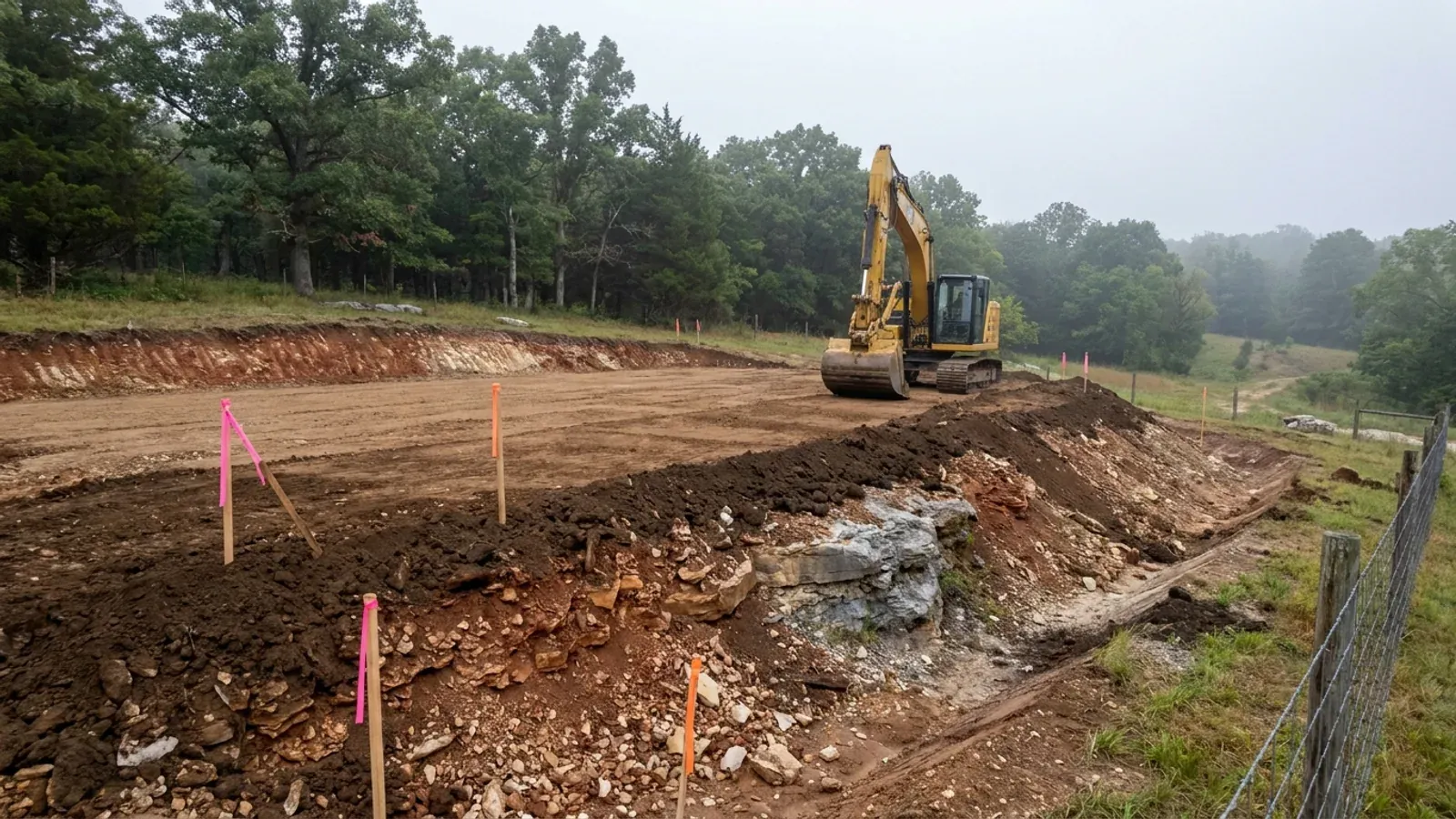
The expensive surprises are in the ground, not the building
What moves a Missouri budget is usually below grade, and which problem you have depends on where in the state you are. Across the Ozarks it is karst: the Department of Natural Resources maps more than sixteen thousand sinkhole points, and what matters there is what is under the slab rather than what the slab sits in. Across the north and centre it is claypan — dense, slow-draining subsoil that perches water above it for months of the year. In the Bootheel it is deep alluvium carrying the highest seismic demand in the state, where the same soils modelled for liquefaction attack post embedment and slab bearing rather than the frame above them. The same ground then decides the septic system, and Missouri does not run that on a percolation test alone: the rule allows a perc test or a soil morphology examination in a profile pit, and the authority reviewing your parcel picks which. Where a drainfield sits near a sinkhole's drainage, perc testing on its own is not permitted at all. Whether that authority is the state or your own county is itself a local question, and it changes what you have to file. So the site work, the foundation and the drainfield get resolved together rather than one at a time. We price the dirt before we price the building.
What we build in The Lake of the Ozarks
All nine services are available in The Lake of the Ozarks. What a build costs depends far more on the parcel than on square footage, so we price against your land rather than publishing a rate card.
Custom Plans
Barndominium floor plans drawn to your parcel and your soil, and to whichever Missouri authority — a county, a city, or none at all — will review them.
Barndominium Kits
Barndominium shell packages delivered to your Missouri land, drawn to the criteria your own county or city publishes — because the state publishes none.
Turnkey Builds
Start to finish barndominium construction in Missouri: the permits that genuinely apply, site work, shell and interior finish, under one contract.
What a build looks like
Three stages every The Lake of the Ozarks project passes through, from a raw parcel to a finished home. Site work first, because that is where the budget is decided.
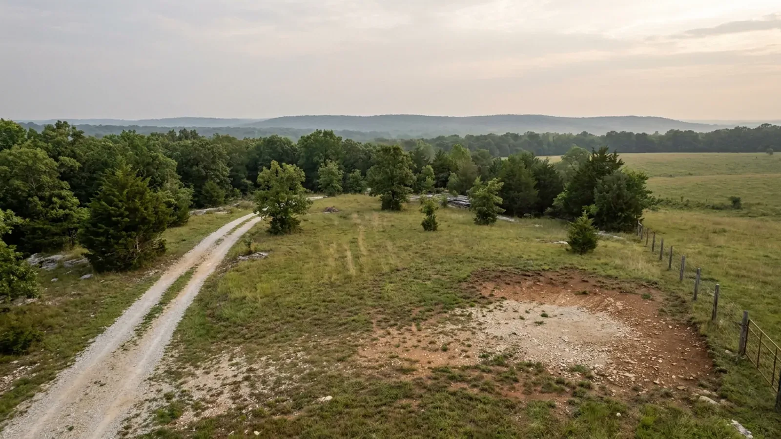
The parcel
Zoning, setbacks, flood zone and utility access get checked before anything is drawn.
Pad and permit
Clearing, grading and a compacted pad, while the submittal works through whichever office issues the permit where you are building.
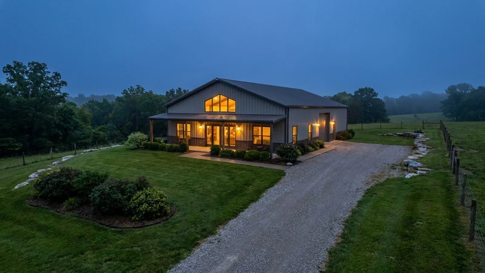
Frame to finish
Shell erected and dried in, then systems, insulation and interior finish through to CO.
Those are the rules where you are building in The Lake of the Ozarks. Tell us what you want to build and we will draw it to them.
Where we build around The Lake of the Ozarks
Camden County and the rural land around it. The buildable acreage for a project this size usually sits outside the city limits, which is frequently what changes who issues your permit.
Keep reading
The questions that usually come next once you know what The Lake of the Ozarks allows.
Barndominium Cost Guide
Sourced per-square-foot ranges by tier and by size, with a calculator built on the same figures.
Read itIs It Legal in Missouri?
Classification, zoning, the HOA gate, and why "nonresidential farm building" does not cover a home.
Read itHow Long Does It Take?
Census build-duration data, and what actually sets the permit clock where you are building.
Read itNearby areas we build in
Others we cover nearby, and they are not interchangeable. One may be a county with an adopted building code, another a county with no legal authority to have one, another a city that permits inside its own limits whichever county the land sits in. So the office that issues the permit, whether anyone inspects the work at all, the fees, the zoning and the design figures can differ from one card to the next — sometimes across a single property line.
Building in The Lake of the Ozarks: common questions
8 questions we get asked most often about building in The Lake of the Ozarks. If yours is not on the list, ask it directly.
My lot is in Osage Beach. Am I in Camden County or Miller County, and does it matter?
Outside the towns, is there a building code at all?
Do I need a permit from Ameren to build on a lakefront lot?
My land is over three acres. Do I still need a septic permit?
Can I build a metal-sided barndominium at the lake?
What design numbers should the building be engineered to?
Slab or walkout basement on this ground?
It is a barn with a house in it. Doesn't the agricultural exemption cover it?
Building in The Lake of the Ozarks?
Start with the plan. Tell us what you want to build and we will draw it, then confirm which office issues the permit for your parcel, what it will let you put there, and what wind load it has to meet. That conversation costs nothing.