Barndominium Builders in Camden County, MO
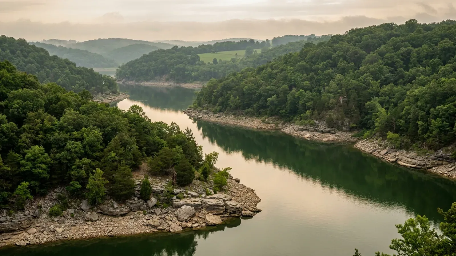
Camden County is Ozark hill country wrapped around ninety-four square miles of water. Its 656 square miles of land carry another 52.6 square miles of Lake of the Ozarks, and the shape of the shoreline decides almost everything about building here. The USDA counted 533 farms in 2022 working 147,003 acres at an average of 276 acres, and the split inside that total tells you what the ground is: 52,167 acres of woodland against 33,147 acres of cropland, with 55,231 acres of pasture between them. Only 71 of those 533 farms are under 50 acres. This is not prairie and it does not behave like prairie. The dominant soils are cherty silt loams over red clay over dolomite — Poynor, Niangua, Bardley and Clarksville — and the Niangua series was established here in Camden County in 1988, on side slopes the USDA describes as dominantly 14 to 40 percent with runoff potential high to very high. Bardley sits on 20 to 40 inches of soil over rock. Shallow bedrock and steep ground, not frost or wind, are what a foundation argues with in this county. Then there is the part nobody expects. Camden County is a first-classification county — the same statutory class as Boone County, which has more than four times as many residents — because RSMo 48.020 sets classification by assessed valuation, and the lake put Camden's valuation at $1,991,716,538 in the State Tax Commission's 2024 report. First classification means the county may adopt a building code under RSMo 64.170. It has not. What it has instead is a zoning code that reaches only a band of ground around the lake, a wastewater ordinance, a road impact fee, and four fire protection districts that the county's own planning department tells applicants are doing the building code inspections.
Camden County at a glance
- County
- Camden County
- Population
- 44,135
- ZIP codes
- 65020, 65049, 65052, 65065, 65079, 65324, 65556, 65567, 65591, 65786, 65787
- Site visits
- Same-week site visits across the county, from Sunrise Beach and the Morgan County line east through Camdenton and Osage Beach to the Miller County line, and south to Macks Creek, Climax Springs and Montreal
Building conditions in Camden County
Missouri sets no residential building code and no statewide way of adopting one, so the first question on any parcel is not what the code says — it is whether there is one. Only counties of the first and second classification may adopt a building code at all, and classification is set by assessed valuation rather than population, so a small county can hold the power while a much larger one does not. Zoning is a separate power with its own answer, granted only after a vote of the people and repealable by another. What changes from one jurisdiction to the next is whether the work is inspected, who issues the permit, what that office charges, how the parcel is zoned, and the design figures your drawings have to satisfy.
RSMo 48.020 (L. 1945 p. 1801 § 1; A.L. 2026), effective 28 Aug 2026, and RSMo 64.170 and 64.205, all rendered from revisor.mo.gov 8 September 2026; Missouri Association of Counties, 'Missouri Counties by Classification', published May 2025, downloaded from mocounties.com and read as extracted PDF text 8 September 2026; Missouri State Tax Commission, 2024 Annual Report (Seventy-Ninth Annual Report), Chapter 5 Table III, 'Total Assessed Valuations by County', stc.mo.gov, downloaded and read 8 September 2026; U.S. Census Bureau Vintage 2024 county population estimates, co-est2024-alldata.csv, www2.census.gov
Camden County Lake Area Planning & Zoning, 'Necessary Requirements to Obtain a Construction Permit' information packet (Rev 03.08.2012), and the Zoning Permit Application, both retrieved from the county's Planning and Zoning Forms page at camdencountymo.gov 8 September 2026; RSMo 321.220, effective 28 Aug 2025, with the Revisor's annotation citing Wellston Fire Protection Dist. v. State Bank & Trust Co., 282 S.W.2d 171 (1955); Mid-County Fire Protection District, 'Codes & Permits' page and 'Requirements for Residential Plan Review' (Revised 12/2025), mcfpd.org, read 8 September 2026; Sunrise Beach Fire Protection District Fire Prevention Ordinance #2026-01, '2024 Code Edition, 16 March 2026', sbfpd.org, downloaded and read 8 September 2026; Osage Beach Fire Protection District Residential/Commercial Building Permit Application packet and Residential Construction Handout, obfire.com, downloaded and read 8 September 2026
Camden County Unified Land-Use Code, effective 1 June 2004, modified August 2006, revised effective 1 January 2022 — Sections 101, 203 (definition of 'Camden County Zoning District'), 901 and 903, read from the county's own posted text at camdencountymo.gov 8 September 2026; RSMo 64.005 and 64.007 (L. 1996 S.B. 497 §§ 1 and 2), effective 28 Aug 1996, and RSMo 137.016 and 137.017, rendered from revisor.mo.gov 8 September 2026
Ameren Missouri, Shoreline Management Plan, Osage Project FERC No. 459, Rev. 2, March 2017, §§ 1.3 and 3.1 and glossary, and Appendix B, 'Lake of the Ozarks Permit Requirements — A Reference Guide for Property Owners and Builders/Contractors', dated 06/30/2025, §§ 2.0, 4.1, 4.2, 4.3 and 6.19 — both downloaded from ameren.com and read as extracted PDF text 8 September 2026; Camden County Unified Land-Use Code § 908(5)(i) (R-1 lakefront setback) and the Planning & Zoning 'Zoning Height – Density – Yard Requirements Summary' brochure, camdencountymo.gov, retrieved 8 September 2026
RSMo 701.031 and RSMo 701.046, as quoted by the Camden County Wastewater Department in 'Camden County On-Site Septic System Requirements' and 'Steps to obtain an on-site septic system construction permit' (Rev 1/2024), camdencountymo.gov, retrieved 8 September 2026; Camden County Ordinance 8-5-04, 'An ordinance governing the construction modification, installation and operation of on-site sewage disposal systems within Camden County', §§ 1, 3.1, 3.2 and 4, read from the county's published Ordinances 1997–2024 compilation 8 September 2026; Camden County Wastewater full-system application packet, camdencountymo.gov; Missouri Department of Health and Senior Services, OWTS Construction Permit Process county selector, health.mo.gov, read 8 September 2026
U.S. Census Bureau, Vintage 2024 Subcounty Population Estimates, Missouri file sub-est2024_29.csv, SUMLEV 157 place-part-within-county records for county FIPS 29029 and 29131, fetched from www2.census.gov 8 September 2026; Missouri Association of Counties, 'Missouri Counties by Classification', May 2025; Missouri State Tax Commission 2024 Annual Report, Chapter 5 Table III; RSMo 64.170, 64.205 and 64.005, rendered from revisor.mo.gov 8 September 2026; Missouri Department of Health and Senior Services OWTS county selector entries for Camden and Miller, health.mo.gov, read 8 September 2026
Also worth knowing before you build in Camden County
- Five answers to 'what code applies' inside one county line
- There is no single answer in Camden County, and the differences are large. Unincorporated ground outside every fire protection district that runs a permit programme has no adopted building code at all — no county code, no inspection of the building. Inside Mid-County Fire Protection District, which covers 227 square miles of central Camden County, it is the 2024 International Residential Code, the 2024 International Building Code, the 2024 International Fire Code and the 2023 National Electrical Code under district ordinances MCFPD 2025-02 through 2025-05. Inside Sunrise Beach Fire Protection District it is the 2024 IFC and 2024 IWUIC adopted as the Fire Prevention Code by Ordinance #2026-01 of 16 March 2026, with the 2024 IRC, IBC, IEBC, IMC, IPC, IFGC, IPMC, ISPSC, IECC and the 2020 National Electrical Code adopted alongside. Inside the City of Camdenton it is the 2024 IBC, IRC, IPMC, IEBC, IMC, IPC, IFGC and IFC with the 2023 NEC and ICC A117.1-2017, and the city will not issue a permit without an active city contractor's licence. Inside the City of Osage Beach it is 'the adopted 2018 International Building Codes and 2017 National Electrical Code', administered by a city Building Official, with residential permits processed in five to ten business days, a fee of $40 up to $20,000 of valuation and $40 plus $2 per $1,000 above that, and a requirement that all contractors hold a current City of Osage Beach contractor's licence with 'no exceptions'. Six code years separate the newest of those from the oldest, and none of them is a state figure — Missouri has no statewide residential code and no mechanism to adopt one, so the edition is a purely local choice every time.
- The county's road impact fee names post-frame buildings, and prices them by the floor
- Camden County collects a road development charge through Planning & Zoning before a permit issues, and its schedule is written with this building type in view. In the A-1 Agricultural, A-R Agricultural–Residential, R-1 Low-Density Residential, B-1, P-1 and I-1 districts the charge falls on 'structures including but not limited to garages, additions, manufactured homes, pools, concrete decks/porches, pole/post-framed buildings with a concrete floor, and new structures', measured on 'the outside horizontal dimensions of each level', with anything under 400 square feet exempt. A separate line covers 'pole/post-framed buildings having a gravel floor and marina dry storage in any zoning districts' at a lower rate, exempt under 800 square feet. So in this county the question of whether you pour a slab in the shop half is a fee question as well as a construction one. The ordinance also sets out the machinery around it: charges go into a dedicated Road Development Charge Fund Account, are spent only on road maintenance and repair within the sub-district they were collected from, and are refundable to the current owner on petition if they sit unspent for more than ten years. The rate has been amended — one amending ordinance reduced the Section F charges 'by fifty (50%) percent' and directed annual review — so the figure to budget against is the one Road & Bridge quotes, not one taken off an old schedule.
- Checked the land-use code's exterior standards: nothing stops a steel or post-frame house here
- Some Missouri counties write their preferred exterior into law and quietly rule out a stock steel package. Camden County does not. Its Unified Land-Use Code contains no exterior material restriction, no minimum roof pitch, no minimum eave projection and no architectural or appearance review for a site-built dwelling, and no minimum dwelling floor area in the A-1 Agricultural or A-R Agricultural–Residential districts. The only roof-pitch and siding rules in the Code attach to factory-built housing and are worth reading precisely so they are not mistaken for a general standard: a 'Manufactured Home Class A' must have a roof whose pitch 'has a minimum vertical rise of one foot for every five feet of horizontal run' finished with a shingle 'commonly used in standard residential construction', and 'exterior siding consist[ing] of wood, hardboard, or aluminum (vinyl covered or painted, but in no case exceeding the reflectivity of gloss white paint)'. A 'Modular Home' must have 'exterior structure materials and appearance similar to the customary single-family structures in the neighborhood'. Neither definition reaches a site-built or panelised barndominium. Three limits do apply to everyone. Maximum structure height is 50 feet above finished grade in A-1, A-R and R-1. In the R-1 district the minimum size of a residential structure is 680 square feet and no more than 65 percent of the lot may be impervious cover unless it is served by an MDNR-approved centralised wastewater system. And Section 917(1)(b)(ii) prohibits, in every district, 'The use of an RV, travel trailer, or tent as a temporary or permanent residence' — which rules out the common plan of living on the land while the build finishes.
- This market belongs to no metropolitan or micropolitan area at all
- Camden County is not in any Core Based Statistical Area. Neither are Miller, Morgan or Benton — the other three counties on this lake. The Census Bureau's delineation file lists 56 Missouri county rows, and every county touching Lake of the Ozarks is absent from all of them, while neighbouring Laclede County is the Lebanon micropolitan area, Pulaski County is Fort Leonard Wood, Taney County is Branson and Boone County anchors the Columbia metropolitan area. That has a practical edge for anyone reading market data about this place: almost every construction cost index, permit count and housing statistic published in the United States is organised by metropolitan area, and none of them describes the Lake of the Ozarks. It also explains the shape of the county on the ground. Of 44,135 residents, 31,884 — a little over 72 percent — live in the 'Balance of Camden County', the unincorporated remainder, against 4,697 in the Camden portion of Osage Beach, 4,035 in Camdenton, 2,493 in the Village of Four Seasons, 424 in the Camden part of Sunrise Beach and 220 in Linn Creek. Resident population is also the wrong yardstick for demand here in a second way, because a large share of the housing stock is second homes and short-term rentals rather than primary residences, and the county's Unified Land-Use Code contains no short-term rental regulation of its own.
- Ozark hill country: shallow rock, steep slopes, and a soil series named for this county
- The USDA's 2022 Census of Agriculture counted 533 farms in Camden County working 147,003 acres at an average of 276 acres, against a Missouri average of 308. What those acres are doing matters more than the total: 52,167 acres of woodland, 55,231 of pasture, 33,147 of cropland and 6,458 other. The holding sizes are the opposite of a row-crop county — only 7 farms of 1 to 9 acres and 64 of 10 to 49, against 216 in the 50-to-179 band, 177 at 180 to 499, 48 at 500 to 999 and 21 at 1,000 acres and up. Underneath, the county soil survey's largest components are Poynor at about 83,300 acres, Niangua at about 79,200, Bardley at about 48,500 and Clarksville at about 42,800 — cherty silt loams over red clay over dolomite. The Niangua series was established in Camden County, Missouri in 1988, and the USDA's description of it is a description of this county: 'strongly sloping to very steep side slopes and footslopes', gradients 'dominantly 14 to 40 percent but range from 9 to 50 percent', formed 'in cherty sediments and residuum from cherty dolomite', well drained with 'runoff potential high to very high', depth to bedrock 40 to 60 inches, and a control section averaging over 60 percent clay. Bardley is shallower still — 'Depth to the bedrock ranges from 20 to 40 inches' on slopes of 2 to 100 percent. Karst is here but it is not the Springfield Plateau: a spatial query of the Missouri Department of Natural Resources sinkhole layer against this county's boundary returns 91 mapped sinkhole points, against 1,471 in Greene County and 16,001 statewide. The point for a foundation is the same either way — on this ground the two things that decide the footing schedule are how far down the dolomite is and how steep the fall is, and both change within a single parcel.
- Every lot with lake frontage needs a floodplain determination before the zoning permit
- Camden County administers its own Floodplain Management Ordinance, adopted as Ordinance No. 6-1-11 to meet 44 CFR 60.3(d), with the regulatory flood taken from the Federal Insurance Administrator's Flood Insurance Study and illustrative materials for Camden County 'dated June 16, 2011 as amended'. The county's Planning & Zoning packet puts the reach of it more plainly than the ordinance does: 'Applications for permits abutting waterways with a 1% annual chance of flood (100-year floodplain), including all lots with lake frontage, shall first obtain approval of structure location and elevation from the Floodplain Administrator by approval of a Floodplain Development Permit/Application.' The same packet requires that 'A Flood Plain Elevation Certificate must be completed by a Missouri Licensed Professional Engineer or Surveyor, and filed with FEMA following substantial completion of the building.' Two consequences worth planning around. The elevation work is a survey task with a named professional attached to it, and it happens twice — once on the site plan before the permit and once after the building is substantially complete. And Missouri's agricultural exemption from county zoning, at RSMo 64.620(2) and carried into Section 903(3) of the county's own code, applies only 'in an area not within the area shown on the flood hazard area map' — so on the shoreline, where the exemption would be most useful, it stops.
- What a county zoning permit costs, and what it does not buy
- Camden County Planning & Zoning publishes its fees: a construction permit for a single-family residential structure is $100.00, a single-family accessory structure is $50.00, a zoning permit is $75.00, a land disturbance permit is $100.00 plus $5.00 per acre over one acre, a variance or an appeal or a special use permit is $500.00, a conditional use permit is $600.00 and a rezoning is $800.00, with a preliminary plat at $250.00 plus $3.00 per lot and a final plat at $100.00. The department also warns that if a footing is placed before the permit issues — not before the application is made, before the permit issues — 'the fee for that permit will be double the amount listed on the fee schedule.' What that money buys is a zoning review and a site visit, not a code inspection. Section 503 of the Unified Land-Use Code has staff verify the application is complete, review it 'for general compliance with the Unified Land-Use Code', and conduct 'A site visit … to establish that the required setbacks will be met and that no special circumstances exist'; the permit covers a single structure and is valid for one year with one six-month administrative extension. Nothing in that process looks at framing, foundations, roof or wiring. Whether anyone does is a question about the fire protection district, and the answer differs across this county.
Mid-County Fire Protection District 'Codes & Permits' page, mcfpd.org; Sunrise Beach Fire Protection District Fire Prevention Ordinance #2026-01 (16 March 2026) § 2, sbfpd.org; City of Camdenton Residential Building Permit Application (rev. 7.9.26), camdentoncity.com; City of Osage Beach Building Department 'Residential' and 'Permits & Fees' pages, osagebeach-mo.gov — all retrieved and read 8 September 2026; RSMo 64.196.1, which requires only 'a current, calendar year 1999 or later edition, nationally recognized building code' of an adopting county, rendered from revisor.mo.gov
Camden County Ordinance No. 11-27-07 (Road Development Charge), §§ C, D, E, F, G and H, and the later ordinance amending Section F of Ordinance No. 11-27-07-1, both read from the county's published Ordinances 1997–2024 compilation at camdencountymo.gov 8 September 2026; Camden County Lake Area Planning & Zoning 'Necessary Requirements to Obtain a Construction Permit' packet, camdencountymo.gov, retrieved 8 September 2026
Camden County Unified Land-Use Code (revised effective 1 January 2022), Article 200 definitions of Manufactured Home Class A and Modular Home, Sections 904(5), 905(5), 908(5) and 917(1), read from the county's own posted text at camdencountymo.gov 8 September 2026
U.S. Census Bureau, Core Based Statistical Areas delineation file list1_2023.xlsx, downloaded from www2.census.gov and parsed 8 September 2026; U.S. Census Bureau, Vintage 2024 Subcounty Population Estimates, sub-est2024_29.csv, SUMLEV 157 records for county FIPS 29029; Camden County Unified Land-Use Code, revised effective 1 January 2022, read 8 September 2026
USDA National Agricultural Statistics Service, 2022 Census of Agriculture County Profile: Camden County, Missouri (cp29029.pdf), downloaded from www.nass.usda.gov 8 September 2026; USDA-NRCS Soil Data Access, component acreage query against soil survey area MO029, run 8 September 2026; USDA-NRCS Official Series Descriptions for NIANGUA, BARDLEY and POYNOR, soilseries.sc.egov.usda.gov, read 8 September 2026; Missouri Department of Natural Resources sinkholes map service (gis.dnr.mo.gov, geology/sinkholes, SINKHOLES layer) intersected with the Census TIGERweb county polygon for GEOID 29029, queried 8 September 2026, with the statewide count of 16,001 matching DNR's own published figure of approximately 16,000; U.S. Census Bureau 2024 Gazetteer counties file, ALAND_SQMI and AWATER_SQMI for GEOID 29029
Camden County Ordinance No. 6-1-11, Floodplain Management Ordinance 60.3(d), Articles 1 and 2, read from the county's published Ordinances 1997–2024 compilation at camdencountymo.gov 8 September 2026; Camden County Lake Area Planning & Zoning, 'Necessary Requirements to Obtain a Construction Permit' packet (Rev 03.08.2012), retrieved from the county's Planning and Zoning Forms page 8 September 2026; Camden County Unified Land-Use Code § 903(3) and RSMo 64.620(2), effective 4 March 1991
Camden County Lake Area Planning & Zoning fee schedule and 'Basic Zoning Provisions' brochure, and the 'Necessary Requirements to Obtain a Construction Permit' packet, all retrieved from the Planning and Zoning Forms page at camdencountymo.gov 8 September 2026; Camden County Unified Land-Use Code §§ 107, 501, 502, 503 and 509, revised effective 1 January 2022
The expensive surprises are in the ground, not the building
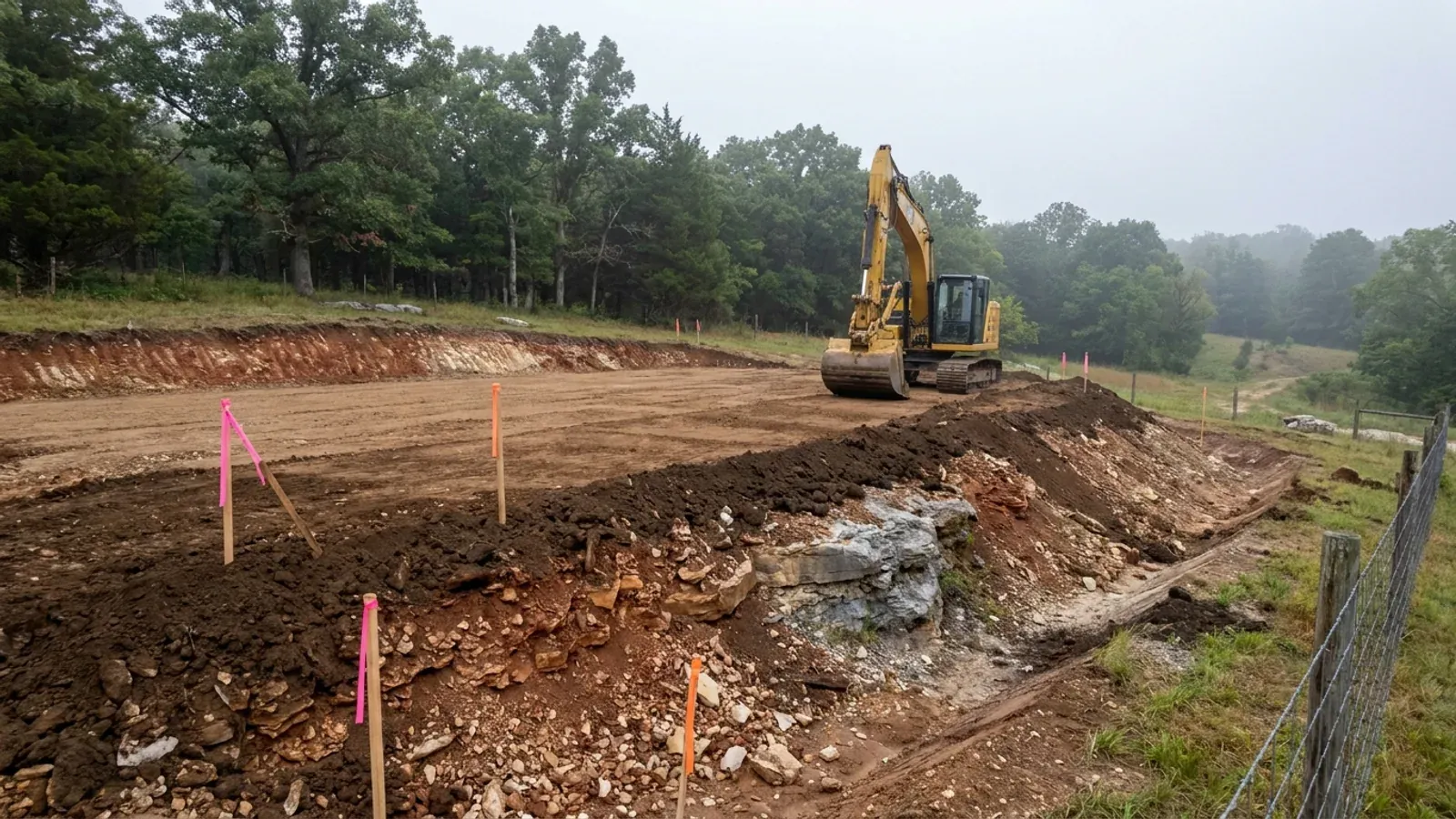
What moves a Missouri budget is usually below grade, and which problem you have depends on where in the state you are. Across the Ozarks it is karst: the Department of Natural Resources maps more than sixteen thousand sinkhole points, and what matters there is what is under the slab rather than what the slab sits in. Across the north and centre it is claypan — dense, slow-draining subsoil that perches water above it for months of the year. In the Bootheel it is deep alluvium carrying the highest seismic demand in the state, where the same soils modelled for liquefaction attack post embedment and slab bearing rather than the frame above them. The same ground then decides the septic system, and Missouri does not run that on a percolation test alone: the rule allows a perc test or a soil morphology examination in a profile pit, and the authority reviewing your parcel picks which. Where a drainfield sits near a sinkhole's drainage, perc testing on its own is not permitted at all. Whether that authority is the state or your own county is itself a local question, and it changes what you have to file. So the site work, the foundation and the drainfield get resolved together rather than one at a time. We price the dirt before we price the building.
What we build in Camden County
All nine services are available in Camden County. What a build costs depends far more on the parcel than on square footage, so we price against your land rather than publishing a rate card.
Custom Plans
Barndominium floor plans drawn to your parcel and your soil, and to whichever Missouri authority — a county, a city, or none at all — will review them.
Barndominium Kits
Barndominium shell packages delivered to your Missouri land, drawn to the criteria your own county or city publishes — because the state publishes none.
Turnkey Builds
Start to finish barndominium construction in Missouri: the permits that genuinely apply, site work, shell and interior finish, under one contract.
What a build looks like
Three stages every Camden County project passes through, from a raw parcel to a finished home. Site work first, because that is where the budget is decided.
The parcel
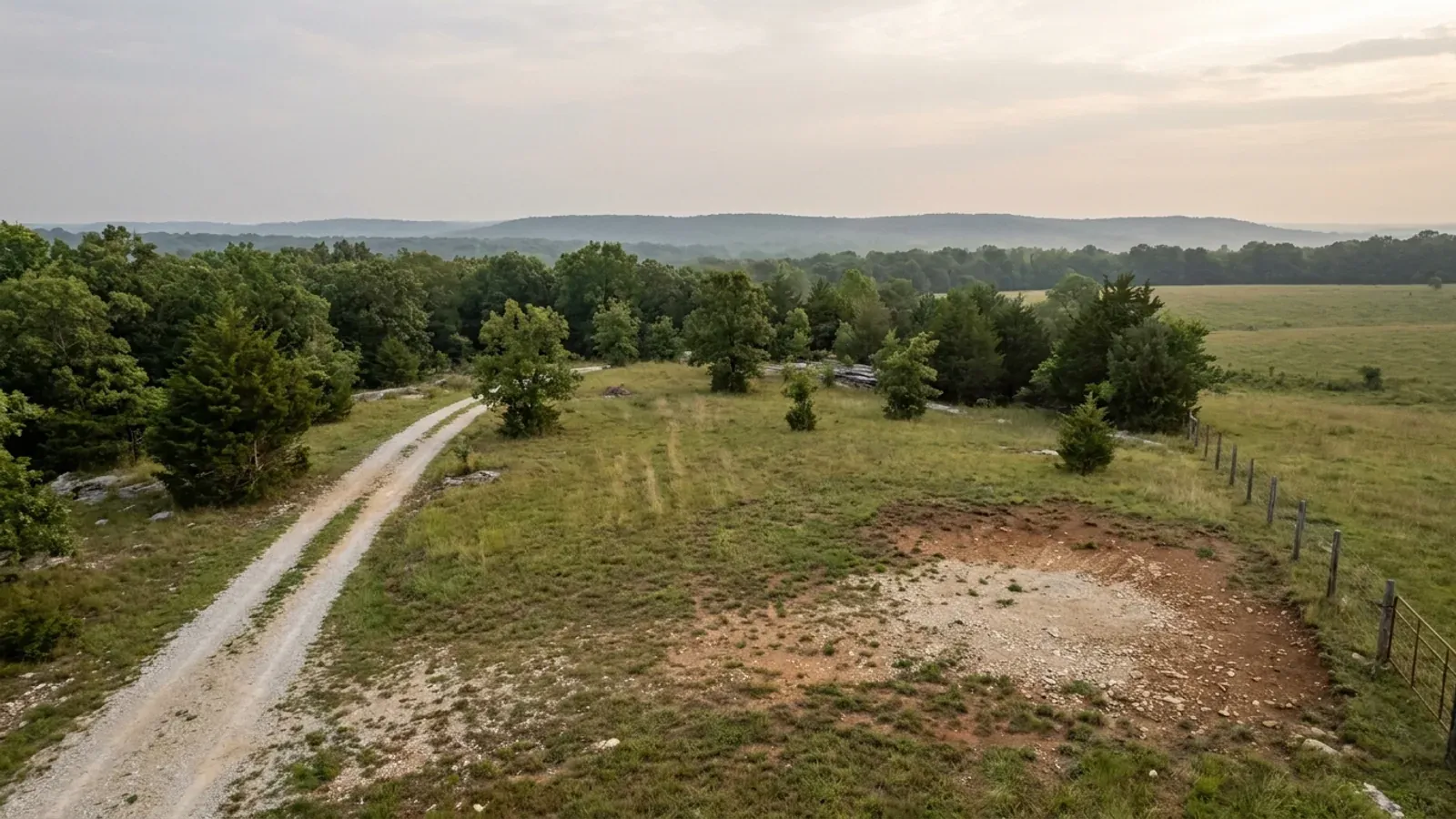
Zoning, setbacks, flood zone and utility access get checked before anything is drawn.
Pad and permit
Clearing, grading and a compacted pad, while the submittal works through whichever office issues the permit where you are building.
Frame to finish
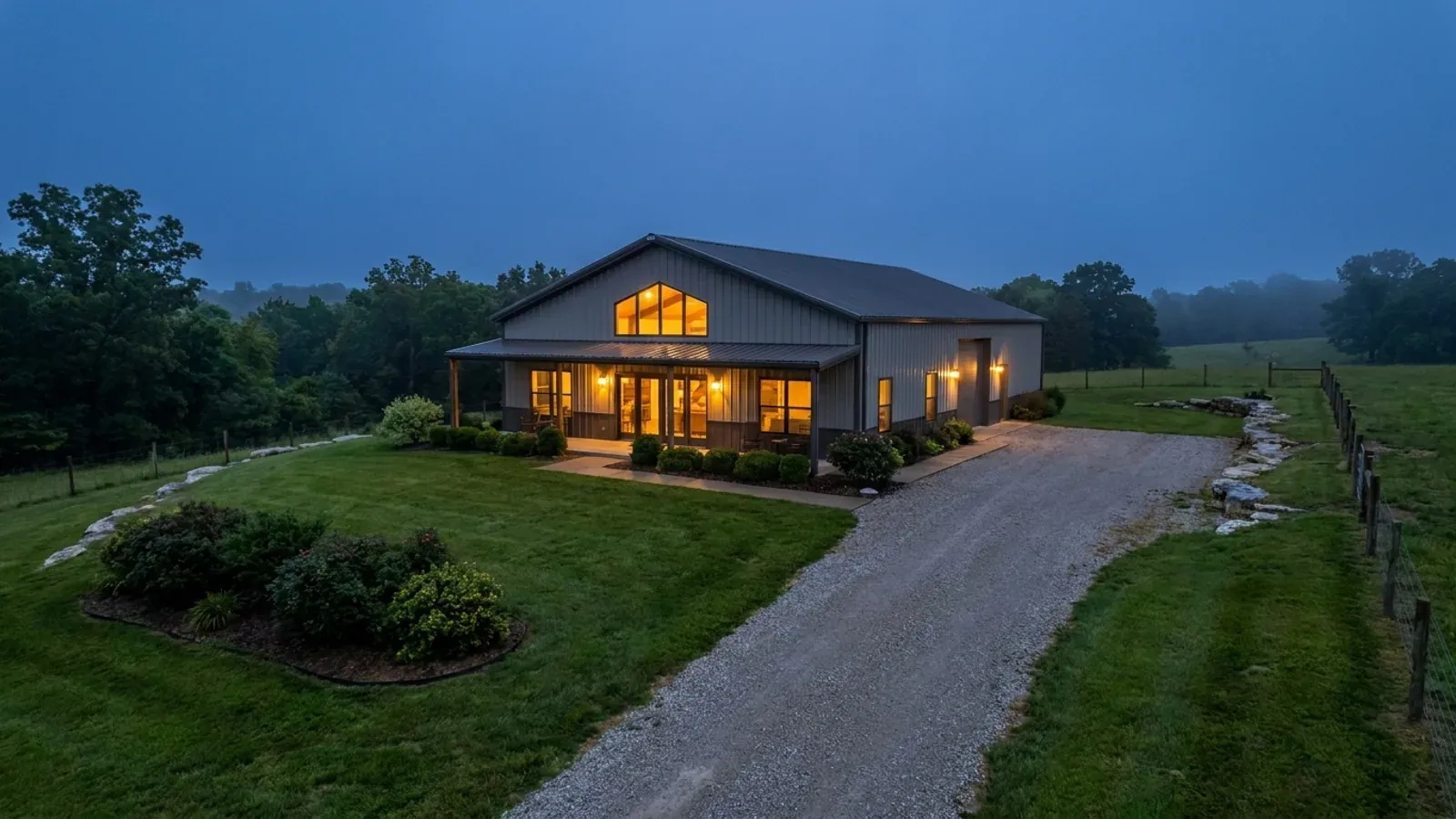
Shell erected and dried in, then systems, insulation and interior finish through to CO.
Those are the rules where you are building in Camden County. Tell us what you want to build and we will draw it to them.
Where we build around Camden County
Camden County and the rural land around it. The buildable acreage for a project this size usually sits outside the city limits, which is frequently what changes who issues your permit.
Keep reading
The questions that usually come next once you know what Camden County allows.
Barndominium Cost Guide
Sourced per-square-foot ranges by tier and by size, with a calculator built on the same figures.
Read itIs It Legal in Missouri?
Classification, zoning, the HOA gate, and why "nonresidential farm building" does not cover a home.
Read itHow Long Does It Take?
Census build-duration data, and what actually sets the permit clock where you are building.
Read itNearby areas we build in
Others we cover nearby, and they are not interchangeable. One may be a county with an adopted building code, another a county with no legal authority to have one, another a city that permits inside its own limits whichever county the land sits in. So the office that issues the permit, whether anyone inspects the work at all, the fees, the zoning and the design figures can differ from one card to the next — sometimes across a single property line.
Building in Camden County: common questions
8 questions we get asked most often about building in Camden County. If yours is not on the list, ask it directly.
Camden County only has about 44,000 people. Why does it have more legal power over building than much bigger counties?
So is there a building code where I want to build, or not?
Does Camden County zoning apply to my land?
I am buying a lakefront lot. Who else has to approve what I build?
My lot is over three acres — doesn't that mean no septic permit?
Osage Beach is in two counties. Does it matter which side my parcel is on?
Can I put up a metal or post-frame building and live in it here?
What will actually gate my build, in order?
Building in Camden County?
Start with the plan. Tell us what you want to build and we will draw it, then confirm which office issues the permit for your parcel, what it will let you put there, and what wind load it has to meet. That conversation costs nothing.