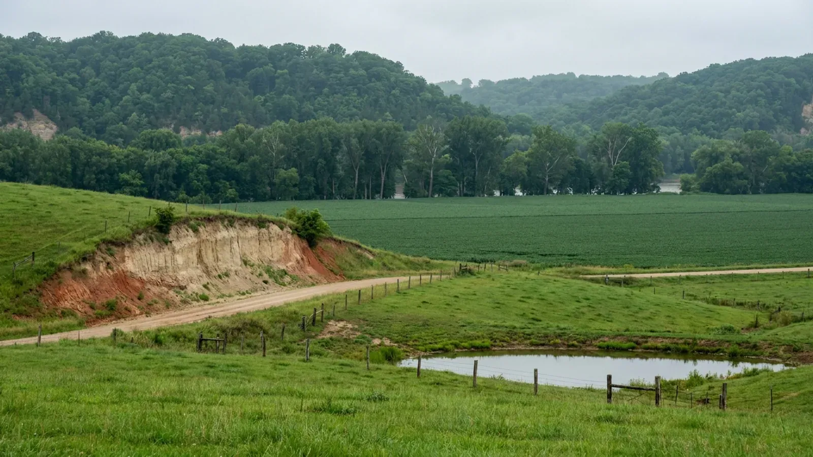
Barndominium Builders in Johnson County, MO
Johnson County is prairie farm country with an Air Force base in the middle of it, and those two facts settle almost everything about building here. The county commission puts its own position in writing and signs it: a letter dated 3 February 2026 from Presiding Commissioner Troy A. Matthews and Commissioners Rusty Sproat and Charles Kavanaugh states that "Johnson County, Missouri, does not have planning and zoning regulations, building codes, inspections, or occupancy certificates for unincorporated areas, except for properties located within the Whiteman Air Force Base Zoning Area." The county's Planning & Zoning page carries the same sentence with the words "building permits" added to the list. There is no county building department, no county building official and no county plan review. On a tract out in the sections, nobody from the county will look at your framing, your footings, your roof or your wiring. That is a choice, not a legal ceiling. Johnson is a fourth-classification county on the Missouri Association of Counties list published May 2025, and RSMo 48.020 provides that such a county "shall remain a county in the second classification and shall operate under the laws of this state applying to the second classification." RSMo 64.205 provides that sections 64.170 to 64.200 — the building-code sections — "shall apply to all counties of the first and second class." So the commission could put a building code on the ballot. It has not. Only twenty-five of Missouri's 114 counties are in that position at all; the other eighty-nine are third classification and could not adopt one if they wanted to. A buyer should know which kind of "no code" this is, because one can change at an election and the other cannot. The exception is the interesting part, and there is nothing else like it in the state. RSMo 41.655 — the Revisor's own catchline reads "Planning and zoning for unincorporated areas near military bases — airport hazard area zoning required (Johnson County)" — directs the county to "provide for the planning, zoning, subdivision and building" in the unincorporated area extending three thousand feet outward from the base boundary and inside the perimeter of accident potential zones one and two. The county did it: the 2015 Military Airport Zoning Ordinance and Subdivision Regulations, first printed 19 February 2009, amended 12 March 2015, approved by the Johnson County Commission 16 March 2015 and enacted 15 April 2015. Inside that area it is unlawful to build a structure of 500 square feet or more without a Military Airport Zoning Clearance from the county's Zoning Administrator, and the ordinance is administered from Pioneer Trails Regional Planning Commission in Concordia with quarterly public meetings at Knob Noster City Hall. It limits you to one single-family dwelling per three acres, five acres inside the AICUZ overlays — and in the APZ-1 and APZ-2 overlay districts residential development is simply "not permitted." Outside that footprint the ordinance reaches nothing at all. What does gate a build on ordinary Johnson County ground is the septic permit, and it bites harder here than the state minimum. The Missouri Department of Health and Senior Services records Johnson County Community Health Services at 723 PCA Road in Warrensburg as an Ordinance authority, and the Johnson County Code of Health Regulations, effective 1 July 2016, says in terms that it "does not allow an acreage exemption for the construction or major modification of an OWTS." The three-acre exclusion in RSMo 701.031 does not help you here. A soil morphology evaluation is required on every site regardless of system type, the permit is $200, and final approval waits on a 911 address — which the Assessor's Office assigns only to a structure, never to bare land. Add a floodplain development permit from the same office if the parcel touches a mapped hazard area, a driveway permit from Road and Bridge if the access is off a county road, and that is the whole county-level chain. The cities are a different country. Warrensburg runs the 2024 International Building Code and the 2024 International Residential Code with permits, plan review and inspections; Holden runs the 2015 family; Knob Noster is still on the 2003 editions. Three code generations twenty-one years apart inside one county line, plus unincorporated ground under none of them. Where you buy decides which of those four answers applies to you, and it is worth knowing before the contract, not after.
Johnson County at a glance
- County
- Johnson County
- Population
- 55,880
- ZIP codes
- 64093, 65336, 64040, 64019, 65305, 64761, 64733, 64061, 65360, 64747
- Site visits
- Same-week site visits across Johnson County — Warrensburg and the University of Central Missouri campus edge, Knob Noster and the Whiteman gate, Holden and Kingsville out west on Highway 58, Centerview, Leeton and Chilhowee, and the section-road country on either side of Highway 13 and Highway 50
Building conditions in Johnson County
Missouri sets no residential building code and no statewide way of adopting one, so the first question on any parcel is not what the code says — it is whether there is one. Only counties of the first and second classification may adopt a building code at all, and classification is set by assessed valuation rather than population, so a small county can hold the power while a much larger one does not. Zoning is a separate power with its own answer, granted only after a vote of the people and repealable by another. What changes from one jurisdiction to the next is whether the work is inspected, who issues the permit, what that office charges, how the parcel is zoned, and the design figures your drawings have to satisfy.
Missouri Association of Counties, "Missouri Counties by Classification," published May 2025 (mocounties.com/s/Missouri-Counties-by-Classification-2025.pdf), downloaded and read 8 September 2026: Class 4, total 4 — Johnson, Lafayette, Pettis, Saline, with the printed note on class-4 counties operating under class-2 law; RSMo 48.020 Classification 4 (Effective 28 August 2026); RSMo 64.170.1 (Effective 28 August 2008); RSMo 64.205 (Effective 28 August 1963), all read on revisor.mo.gov 8 September 2026
Johnson County Commission, "Re: Zoning for Johnson County, Missouri," letter signed by Presiding Commissioner Troy A. Matthews and Commissioners Rusty Sproat and Charles Kavanaugh, dated 3 February 2026, published at jocomo.gov/DocumentCenter/View/656; and Johnson County Planning & Zoning page, jocomo.gov/212/Planning-Zoning, both read 8 September 2026 and the page re-read on an independent navigation the same day
RSMo 41.655, Title V, Chapter 41, Effective 28 August 2007 (L. 2005 H.B. 348 § 41.1013 merged with S.B. 252 § 41.1013, A.L. 2007 S.B. 22), revisor.mo.gov, read 8 September 2026; The 2015 Military Airport Zoning Ordinance and Subdivision Regulations for the Unincorporated Area of Johnson County, Missouri, published by the Johnson County Airport Zoning Commission — first printing 19 February 2009, amended 12 March 2015, approved by the Johnson County Commission 16 March 2015, enacted 15 April 2015 — Sections 102, 103, 301, 502, 1105, 2102, 2202 and 2302, downloaded from trailsrpc.org and read 8 September 2026, then re-downloaded and the load-bearing sections re-read (identical file checksum)
Johnson County Code of Health Regulations, current version effective 1 July 2016, Sections 3.2.4, 3.2.5.1, 3.2.6.1 and 3.2.6.2, and the Johnson County Community Health Services onsite wastewater brochure, both downloaded from johnsoncountyhealth.org and read 8 September 2026; Missouri Department of Health and Senior Services onsite wastewater construction permit process, county selector returning Johnson County Community Health Services, Authority Type Ordinance, 723 PCA Road, Warrensburg, queried 8 September 2026 with Camden run first as a known-good control; RSMo 701.031, Effective 28 August 2005, revisor.mo.gov
Warrensburg Code of Ordinances §§ 6-16, 6-19, 6-21 and 6-36 (Ord. Nos. 5927, 5928, 5929 and 5932, all § 1, 13 January 2025), codified through Ordinance No. 6023 enacted 13 April 2026, Supplement 41 Update 1, read via the Municode publication API 8 September 2026 and re-read on an independent request; Holden Code of Ordinances Chapter 40, Building Permits and Code Enforcement (ORD #04-18), Sections 40.020-40.095, holdenmo.gov, read 8 September 2026; Knob Noster Municipal Code §§ 500.010 and 500.150 (Ord. Nos. 708 and 709, §§ I-II, 17 May 2005), ecode360.com, page titles verified as "City of Knob Noster, MO" in the same read
USDA-NRCS Soil Data Access, sdmdataaccess.sc.egov.usda.gov, queried 8 September 2026 against survey area MO101 (Johnson County, Missouri), which returns 83 map units totalling 533,485 acres; shrink-swell from chorizon.lep_r for horizons beginning above 100 cm, weighted by component percentage; bedrock share from corestrictions where reskind is lithic or paralithic bedrock and resdept_r is 102 centimetres or less — resdept_r is recorded in CENTIMETRES, and 102 cm is about forty inches; the same query run against MO037 (Cass) and MO159 (Pettis) for a method-consistent comparison; bogus survey area MO999 returns an empty result as the control. Warrensburg Code § 6-20 and Holden Chapter 40 amendment lists checked for R401.4.1 and neither amends it
Also worth knowing before you build in Johnson County
- Two cities, editions nine years apart, identical numbers
- Warrensburg fills in Table R301.2(1) of the 2024 International Residential Code with 20 psf ground snow, 90 mph wind, no topographic effects, no special wind region, Seismic Design Category A, severe weathering, a 36-inch frost line, moderate-to-heavy termite, a 6°F winter design temperature, ice barrier underlayment required, an air freezing index of 1017, a mean annual temperature of 55.8°F and an elevation of 840 feet. Holden fills in the same table on the 2015 edition with 20 psf, 90 mph, Category A, Site Class D, severe weathering, a 36-inch frost line, moderate-to-heavy termite, 6°F, ice barrier not required, air freezing index 1000 and mean annual temperature 53°F. Two adopted tables, editions nine years apart, and snow, wind, seismic and frost are the same on both — the ice-barrier line and the freezing index are the only real movement. Knob Noster's ordinance says of Table R301.2(1) only "Insert: Ref: Attached," so the city's codified text carries no design figures at all, and unincorporated Johnson County has no adopted table for anyone to fill in.
- Fire districts: checked by name, and neither runs a building code
- In a county with no building code, a fire protection district can end up as the only construction authority on the ground — RSMo 321.220(12) lets a district board adopt ordinances whose standards may be industrial codes from nationally recognised trade bodies, and it is a route that has nothing to do with county classification. Both districts covering unincorporated Johnson County were checked by name and neither publishes an adopted building or residential code, a permit programme or an inspection programme. Johnson County Fire Protection District, formed in 1979, covers 520 square miles of the eastern two-thirds of the county, excluding the cities of Knob Noster and Warrensburg, from twelve stations. Johnson County Fire Protection District No. 2, voted into existence in April 1982 out of the old Western Jo-Co Fire Association, covers roughly 265 square miles of the western portion from Holden and takes in Jackson, Kingsville, Madison and Rose Hill townships. Two more rules bound the question anyway: RSMo 321.228 makes a district "without power, authority, or privilege" to run a residential construction regulatory system inside a city that adopts, implements and enforces one — which Warrensburg, Holden and Knob Noster each do — and RSMo 321.220(12) bars any district from requiring permits for farm buildings.
- Exterior materials, roof pitch and design review: checked, and there are none
- A steel-skinned house is banned outright in some Missouri jurisdictions, so the question is worth asking here — and the answer in Johnson County is that no instrument restricts it. The Military Airport Zoning Ordinance, the only zoning reaching any unincorporated ground, contains no exterior material rule, no roof pitch minimum, no eave requirement, no design review and no minimum dwelling floor area; what it regulates is density, height under the AICUZ map, and use. Warrensburg's Chapter 27 zoning carries no exterior material or pitch standard for a site-built dwelling either — the only material rules in the chapter are the skirting and masonry-pad requirements in the R-MH manufactured home district, and the only design review is a certificate of appropriateness inside the H historic overlay. Holden's Chapter 42 has none. Knob Noster's zoning regulations have none. What the cities do set is minimum floor area and what an accessory building may be: Warrensburg requires 800 square feet per dwelling unit in R-1 and caps accessory structures by height rather than by floor area — they may not exceed the height of the principal building, with no square-footage limit at all — while Holden requires 900 square feet of finished living space and expressly prohibits using an accessory building as a residential dwelling in any district without council approval.
- The agricultural line falls in three different places here
- In unincorporated Johnson County there is no building code, so there is nothing for a farm building to be exempt from — the question simply does not arise outside the Whiteman zoning area. Inside it, Section 502 of the Military Airport Zoning Ordinance requires a clearance for any structure of 500 square feet or more with no agricultural carve-out, though AR-1 and AR-2 both permit "accessory buildings for agricultural operations" and the density rule at Section 1105 does not count "additional support buildings for storage of equipment, farm usage, garages or shops." Holden draws the sharpest line of the three cities: its building code is amended so that "structures used exclusively for agricultural purposes on unplatted tracts of five (5) acres or more shall be exempt from this code" — note both conditions, exclusively agricultural and unplatted, which a house does not meet. Warrensburg has no agricultural exemption at all; the word does not appear anywhere in its building chapter, and farming excluding livestock is only a conditional use in its zoning. And under RSMo 321.220(12) no fire protection district may require a permit for a farm building anywhere in the state.
- The 911 address is a real gate, and it comes last
- In a county with no building permit, the address is the closest thing to one. The Assessor's Office assigns addresses in unincorporated Johnson County, and its published procedure says "before utilities can be connected or wastewater treatment permitted, an address may need to be assigned to the property," that addresses are assigned on the physical location of the structure and the road the driveway will connect to, and that "addresses are assigned only to structures; vacant or bare land will not be given an address." The health department closes the loop from the other end: "any new construction of an OWTS will not be granted final approval until the property has an address assigned." So the sequence on a raw tract is parcel card and aerial photo from the Assessor, soil morphology report, septic permit, driveway permit if the access is off a county road, address, then final septic approval. Nowhere in that chain does anyone inspect the building.
- Which road you are on decides who permits the driveway
- Johnson County publishes a field test that is genuinely useful on a rural showing. Roads marked with brown numbered road signs in the unincorporated county are privately owned and maintained, and access has to be arranged directly with the neighbouring owners — there is no county permit to get and no county obligation to maintain. Roads marked with green numbered road signs are county-maintained, and a driveway, field entrance or road entrance permit comes from the Road and Bridge Department at 335 E. North Street in Warrensburg after reviewing the county's right-of-way ordinance. Lettered and numbered state highways go to the Missouri Department of Transportation; named streets inside a city go to that city hall. Separately, any construction within thirty feet of the centreline of a county road or trail needs the county's right-of-way procedure through the County Clerk.
- Farm country, and the tracts are large
- The 2022 Census of Agriculture counts 1,526 farms in Johnson County holding 415,874 acres, at an average of 273 acres — the farm count is down but the average size is up 8 percent since 2017. Land in farms breaks down as 228,817 acres of cropland, 128,363 of pastureland, 39,447 of woodland and 19,247 of other. The Census Bureau gives the county 829.262 square miles of land and 3.929 of water. Farms by size run 73 under ten acres, 421 between ten and forty-nine, 508 between fifty and 179, 321 between 180 and 499, 129 between 500 and 999, and 74 above a thousand — which is to say the ten-to-fifty-acre band that a barndominium tract usually comes out of is the second-largest group in the county and there is no shortage of it.
- Forty-one percent of the clear zone is private land under a federal easement
- The Air Force's own AICUZ study for Whiteman records that the clear zones at each runway end are 3,000 feet wide by 3,000 feet long, APZ-1 is 3,000 by 5,000 and APZ-2 is 3,000 by 7,000 — and that "at Whiteman AFB, 41 percent of the clear zone property is located off base and is subject to restrictive easements." That is the pattern worth understanding before buying near the base: the owner holds title, pays the taxes, and cannot build. The study's land-use table marks single-family detached dwellings incompatible in the clear zone and in both accident potential zones, and allows them in the DNL 65-70 and 70-75 dB noise contours only with 25 and 30 decibels of noise level reduction built into the structure. The base itself occupies 4,183 acres two miles south of Knob Noster and ten miles east of Warrensburg, hosting the 509th Bomb Wing and its B-2s, the reserve 442d Fighter Wing's A-10s and a Missouri Army National Guard aviation unit.
- No county contractor licence, and only two trades licensed anywhere
- Johnson County licenses no contractors of any kind — there is no county building office to issue one, and Missouri has no statewide general contractor licence to hold instead. Warrensburg comes closest, and it is narrower than people expect: § 6-1 of its code requires anyone providing plumbing or electrical service to the public to pass an examination administered by the building official, at a $65 examination fee, and that is the whole scheme. There is no general contractor class, no residential contractor class and no bond or insurance requirement attached to one. What Warrensburg does require of any build is a boundary survey by a licensed professional land surveyor before the site location inspection, and sealed plans from a Missouri-licensed engineer for any residential solar photovoltaic installation.
Warrensburg Code of Ordinances § 6-20, item 14 (Ord. No. 5928, § 2, 13 January 2025), amending Table R301.2(1) of the 2024 IRC — read via the Municode publication API 8 September 2026 against Supplement 41 Update 1 and re-read on a second independent request, both returning the same section with a non-empty content chunk; Holden Code of Ordinances Chapter 40, Sections 40.080-40.085, Section 2, Table R301.2(1) on the 2015 IRC, holdenmo.gov, read 8 September 2026; Knob Noster Municipal Code § 500.150(B), ecode360.com
Johnson County Fire Protection District, jcfpd.net (about and site index, six published pages, none carrying a code, permit or inspection programme), and Johnson County Fire Protection District 2, jcfpd2.com/?page_id=59, both read 8 September 2026 with bogus-path controls returning honest 404s on each host; RSMo 321.228, Title XXI, Chapter 321, Effective 28 August 2012 (L. 2012 H.B. 1647 merged with S.B. 769), and RSMo 321.220(12), Effective 28 August 2025, both read on revisor.mo.gov 8 September 2026
The 2015 Military Airport Zoning Ordinance and Subdivision Regulations, Johnson County, Articles XI-XXIII, full text searched for material, pitch, eave, exterior and design-review terms with no match; Warrensburg Code of Ordinances Chapter 27, Articles I, III, V and VII (§§ 27-105(e), (f), (i), 27-112, 27-176, 27-244), read via the Municode publication API 8 September 2026; Holden Code of Ordinances Chapter 42, §§ 42.110-42.125 and 42.620, updated 2026, holdenmo.gov; Knob Noster Municipal Code Chapter 405, Articles IV and V, ecode360.com
The 2015 Military Airport Zoning Ordinance, Johnson County, Sections 502, 1105(1), 1202 and 1302; Holden Code of Ordinances Chapter 40, Sections 40.020-40.025, Section 2, amendment to IBC Section 101.2, holdenmo.gov, read 8 September 2026; Warrensburg Code of Ordinances Chapter 6 (no occurrence of "agricultural" in the chapter) and Chapter 27 Article IV table of permissible uses, item 14.110; RSMo 321.220(12), Effective 28 August 2025
Johnson County Assessor's Office addressing procedure, jocomo.gov/377/Addressing, and Johnson County Community Health Services onsite wastewater brochure (911 Addresses panel), both read 8 September 2026
Johnson County Road & Bridge Department, Driveway Permit page, jocomo.gov/341/Driveway-Permit, read 8 September 2026 (bogus path control on the same host returns HTTP 404 with the title "Custom404 - Johnson County, MO"); Johnson County Commission letter of 3 February 2026, County Right of Way paragraph
USDA National Agricultural Statistics Service, 2022 Census of Agriculture, Johnson County, Missouri county profile (cp29101.pdf), downloaded and read 8 September 2026, with cp29999.pdf returning an honest 196-byte 404 as the control; U.S. Census Bureau, 2024 National Gazetteer, counties file (FIPS 29101): 829.262 square miles of land, 3.929 square miles of water, internal point 38.741528, -93.811863; population 55,880 from the Census Bureau's Vintage 2024 county population estimates (co-est2024-alldata.csv)
Whiteman AFB Air Installation Compatible Use Zone Study, Volume I, 509 BW/CC memorandum for area governments signed by Brig Gen Christopher D. Miller, Sections 2 and 3 and the notes to the Land Use Compatibility Table, data collection 17-21 May 2004 — downloaded from whiteman.af.mil 8 September 2026 with the full desktop request header set, bogus path on the same host returning an honest 404
Warrensburg Code of Ordinances § 6-1 (Ord. No. 2264, § 1, 10 February 1986; Ord. No. 4833, § 1, 22 April 2013) and § 6-20 items 8 and 36 (Ord. No. 5928, § 2, 13 January 2025), read via the Municode publication API 8 September 2026; Johnson County department and services index, jocomo.gov, which lists no building or contractor licensing office
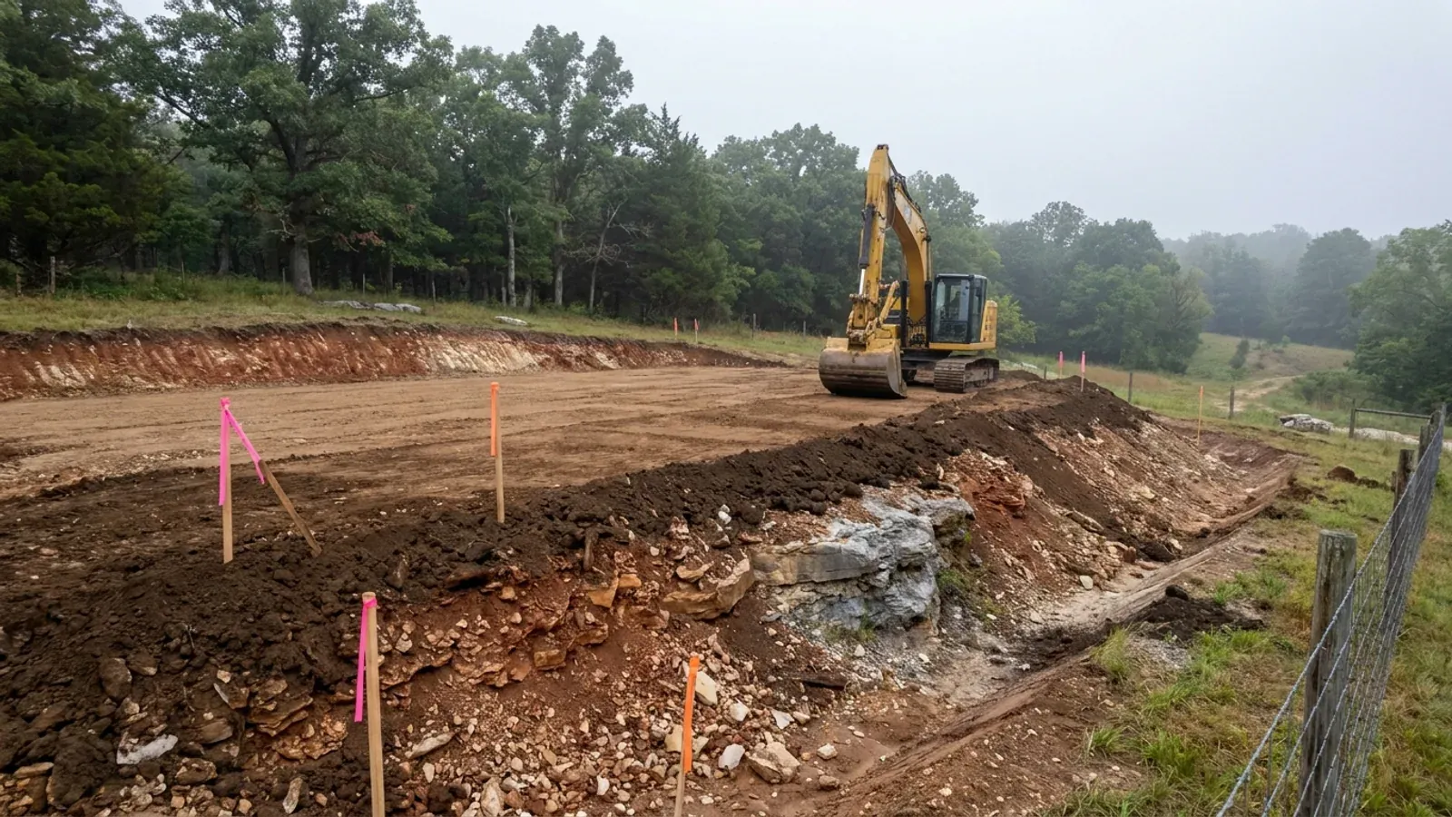
The expensive surprises are in the ground, not the building
What moves a Missouri budget is usually below grade, and which problem you have depends on where in the state you are. Across the Ozarks it is karst: the Department of Natural Resources maps more than sixteen thousand sinkhole points, and what matters there is what is under the slab rather than what the slab sits in. Across the north and centre it is claypan — dense, slow-draining subsoil that perches water above it for months of the year. In the Bootheel it is deep alluvium carrying the highest seismic demand in the state, where the same soils modelled for liquefaction attack post embedment and slab bearing rather than the frame above them. The same ground then decides the septic system, and Missouri does not run that on a percolation test alone: the rule allows a perc test or a soil morphology examination in a profile pit, and the authority reviewing your parcel picks which. Where a drainfield sits near a sinkhole's drainage, perc testing on its own is not permitted at all. Whether that authority is the state or your own county is itself a local question, and it changes what you have to file. So the site work, the foundation and the drainfield get resolved together rather than one at a time. We price the dirt before we price the building.
What we build in Johnson County
All nine services are available in Johnson County. What a build costs depends far more on the parcel than on square footage, so we price against your land rather than publishing a rate card.
Custom Plans
Barndominium floor plans drawn to your parcel and your soil, and to whichever Missouri authority — a county, a city, or none at all — will review them.
Barndominium Kits
Barndominium shell packages delivered to your Missouri land, drawn to the criteria your own county or city publishes — because the state publishes none.
Turnkey Builds
Start to finish barndominium construction in Missouri: the permits that genuinely apply, site work, shell and interior finish, under one contract.
What a build looks like
Three stages every Johnson County project passes through, from a raw parcel to a finished home. Site work first, because that is where the budget is decided.
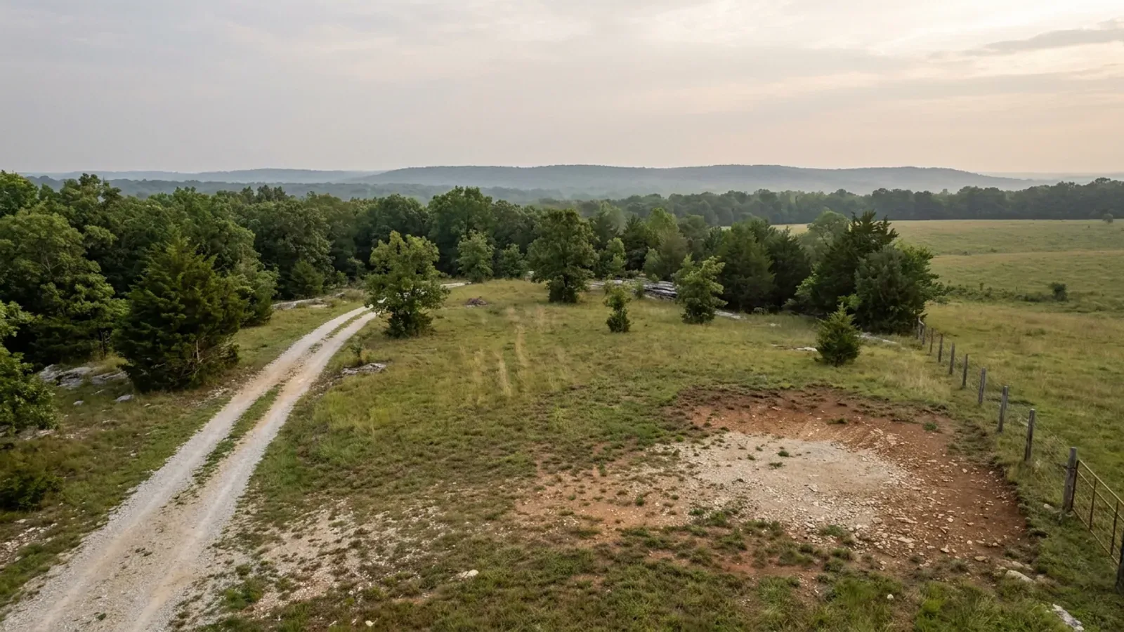
The parcel
Zoning, setbacks, flood zone and utility access get checked before anything is drawn.
Pad and permit
Clearing, grading and a compacted pad, while the submittal works through whichever office issues the permit where you are building.
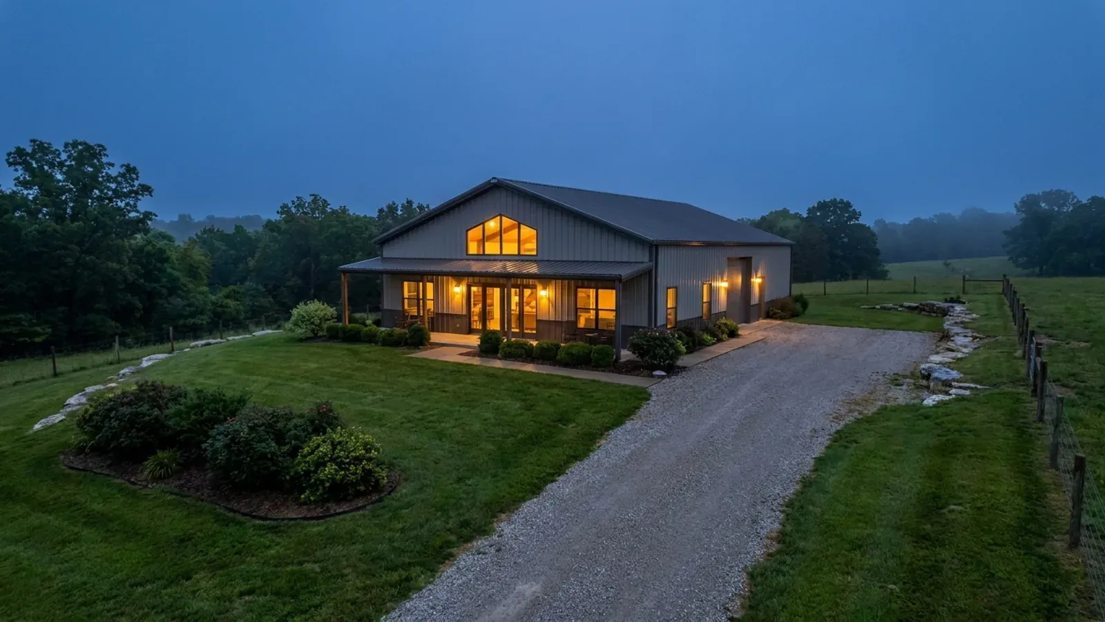
Frame to finish
Shell erected and dried in, then systems, insulation and interior finish through to CO.
Those are the rules where you are building in Johnson County. Tell us what you want to build and we will draw it to them.
Where we build around Johnson County
Johnson County and the rural land around it. The buildable acreage for a project this size usually sits outside the city limits, which is frequently what changes who issues your permit.
Keep reading
The questions that usually come next once you know what Johnson County allows.
Barndominium Cost Guide
Sourced per-square-foot ranges by tier and by size, with a calculator built on the same figures.
Read itIs It Legal in Missouri?
Classification, zoning, the HOA gate, and why "nonresidential farm building" does not cover a home.
Read itHow Long Does It Take?
Census build-duration data, and what actually sets the permit clock where you are building.
Read itNearby areas we build in
Others we cover nearby, and they are not interchangeable. One may be a county with an adopted building code, another a county with no legal authority to have one, another a city that permits inside its own limits whichever county the land sits in. So the office that issues the permit, whether anyone inspects the work at all, the fees, the zoning and the design figures can differ from one card to the next — sometimes across a single property line.
Building in Johnson County: common questions
7 questions we get asked most often about building in Johnson County. If yours is not on the list, ask it directly.
Do I need a building permit to put up a barndominium in unincorporated Johnson County?
My lot is over three acres. Does that get me out of the septic permit?
How close to Whiteman is too close?
Does anything stop me putting metal siding and a metal roof on the house?
Can I build the shop first and live in it while the house goes up?
What ground am I building on, and how deep do the footings go?
Who actually inspects anything, if the county does not?
Building in Johnson County?
Start with the plan. Tell us what you want to build and we will draw it, then confirm which office issues the permit for your parcel, what it will let you put there, and what wind load it has to meet. That conversation costs nothing.