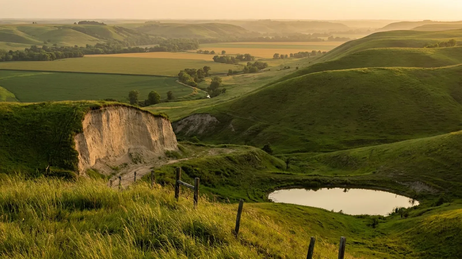
Barndominium Builders in St. Joseph, MO
St. Joseph is the anchor of northwest Missouri: 72,473 people on 44 square miles of land at the 2020 census, on the bluffs above the Missouri River, with Doniphan County, Kansas beginning about three miles west of the city centre on the far bank. Two things make building here genuinely different. The first is under your feet. This is deep loess country — wind-deposited silt, not Ozark chert and not prairie claypan. The USDA soil survey for Buchanan County (survey area MO021, 265,255 acres) puts Knox and Marshall silt loams across more than a third of the county: 66 to 73.5 percent silt, about 4 percent sand, a published rock-fragment content of zero, and profiles described to five and six feet with no restricting layer at all. Only about 2.5 percent of the survey area carries any restriction within 20 inches. The second is the zoning. St. Joseph is a home-rule charter city that permits and inspects inside its own limits, and its zoning code carries two agricultural districts: A-1 General Agricultural, where a dwelling as a permitted use needs a 20-acre lot and farming structures have no setback at all, and A-OR Agricultural, Outer Residential, where three acres does it. Then the city's accessory-building standards do something almost nobody else does — they name post-frame construction with metal exterior walls, and instead of prohibiting it they set out exactly how to finish it. Cross the city line and the city's authority stops dead: Buchanan County runs its own zoning permit and its own on-site wastewater ordinance from Jules Street, and the two answers are not the same.
St. Joseph at a glance
- County
- Buchanan County
- Population
- 72,473
- ZIP codes
- 64501, 64503, 64504, 64505, 64506, 64507
- Site visits
- Same-week site visits across Buchanan County — the city and its A-1 and A-OR ground on the eastern and southern edges, then out to Agency, Faucett, De Kalb, Easton and Rushville, and north into Andrew County
Building conditions in St. Joseph
Missouri sets no residential building code and no statewide way of adopting one, so the first question on any parcel is not what the code says — it is whether there is one. Only counties of the first and second classification may adopt a building code at all, and classification is set by assessed valuation rather than population, so a small county can hold the power while a much larger one does not. Zoning is a separate power with its own answer, granted only after a vote of the people and repealable by another. What changes from one jurisdiction to the next is whether the work is inspected, who issues the permit, what that office charges, how the parcel is zoned, and the design figures your drawings have to satisfy.
City of St. Joseph Code of Ordinances ch. 31 art. I div. 3 § 31-050(e)(10)c and d (Code 1969, § 26-420; G.O. 1393, 22 Apr 1996 through G.O. 2783, 20 July 2015), read from the codified ordinance on Municode, code version 11 May 2026 (current through Supplement 8, G.O. 3140 of 2 Feb 2026); read 8 September 2026 and re-read after an independent re-navigation the same day
City of St. Joseph Code of Ordinances ch. 31 art. I div. 2 §§ 31-018 and 31-019 (G.O. 2086, 28 Mar 2005; G.O. 2351, 2 Nov 2009; G.O. 3026, 4 Apr 2022), read from the codified ordinance on Municode, code version 11 May 2026 (current through Supplement 8); read 8 September 2026 and re-read after an independent re-navigation the same day
City of St. Joseph Code of Ordinances § 7-34(10) and §§ 7-32 to 7-34, read from the codified ordinance on Municode (code version 11 May 2026, current through Supplement 8 and G.O. 3140 of 2 Feb 2026) and read three times across two independent navigations on 8 September 2026; General Ordinance No. 3141 (Bill 25-26), 'an ordinance authorizing an amendment to sections 7-32 ... 7-33 ... and 7-34 ... relating to the adoption of the 2024 editions of the International Building Code and International Residential Code', adopted 17 February 2026, downloaded from the codifier's own ordinance archive and read 8 September 2026; frost-line comparisons from Kansas City Code § 18-57, Springfield City Code § 36-1302 and Sikeston's adopted table
Missouri Department of Health and Senior Services, OWTS Construction Permit Application Process, county selector at health.mo.gov/business-professionals/onsite-wastewater-treatment/owts-construction-permit-process?county=Buchanan, rendered and read 8 September 2026; method validated the same day against ?county=Camden as a known-good control and against a bogus county value, which returns no authority block; permit-fee suspension quoted from the same page's 'Important Update — Temporary Permit Fee Suspension' notice; RSMo 701.031, 701.046 and 701.047
USDA-NRCS Soil Data Access, tabular queries against survey area MO021 (Buchanan County, Missouri) run 8 September 2026 — total map unit acres, component-weighted acreage by corestrictions.resdept_r, component acreage by compname and taxclname, chorizon silt, sand, clay and depth for Knox major components, and acreage by component slope band; USDA-NRCS Official Series Descriptions for KNOX and MARSHALL at soilseries.sc.egov.usda.gov, read 8 September 2026
EPA Map of Radon Zones county-level dataset, spreadsheet radon_zones-spreadsheet.xls (header document number EPA 402/A-16/001, underlying map developed 1993), downloaded from epa.gov and parsed cell-by-cell on 8 September 2026: the Buchanan, MO row returns Region 7, Zone 1, against Zone 2 for Boone, Greene and Taney and Zone 3 for Butler in the same read; EPA Missouri radon zone sheet, epa.gov, for the quoted caveats
Also worth knowing before you build in St. Joseph
- Where the city's authority stops — and what picks up on the other side
- St. Joseph's building official has jurisdiction to the city limits and no further. That is not a small distinction here, because the two sides of the line are governed by different instruments and different offices. Inside, the city permits and inspects under Chapter 7 of its own code, adopting model codes by reference under RSMo 67.280 and drawing its power from its home rule charter under Mo. Const. art. VI, § 19(a). Outside, Buchanan County's zoning order takes over, and it is blunt about it: the county states that its Zoning Ordinance 109.115.3 requires 'a building permit for any structure and on-site wastewater treatment system' in all zoning districts regardless of acreage, that failure to secure one or to follow setbacks and density requirements 'can result in the demolition of the structure', and that under Ordinance 804.1.9 a permit sought after construction has begun costs double. Buchanan County is a first-classification county on the Missouri Association of Counties list published May 2025 — one of only 13 in the state, where 89 of 114 counties are third classification — so unlike most Missouri counties it is among those RSMo 64.170 empowers to adopt a county building code should it choose to. Whether it has is a question for the county, and one a St. Joseph resident has no vote on: RSMo 64.170.3 provides that a code affecting a county 'shall not be voted upon by citizens of any incorporated territory.'
- One foot of freeboard, 1984 flood maps — and a new FIRM landing 13 November 2026
- The city's floodplain rules are stricter than the federal minimum in the way that matters most. Code § 31-214(1) requires new construction or substantial improvement of any residential structure, manufactured homes included, to have the lowest floor including basement 'elevated to one foot above base flood elevation' — a foot of freeboard, not merely at the base flood elevation. Non-residential work may elevate a foot above or be dry-floodproofed with certification from a registered professional engineer or architect. Enclosed areas below the lowest floor used only for parking, access or storage need at least two flood openings totalling not less than one square inch per square foot of enclosed area, with the bottom of every opening no more than one foot above grade. Section 31-209 requires a floodplain development permit before any development in the mapped zones, and § 31-222 lets an accessory structure be wet-floodproofed at grade only in Zone A, only for parking and limited storage, with no federal disaster relief payable for its repair and a written notice that building below the base flood level can push flood insurance to rates as high as $25 for every $100 of coverage. Then the timing point. The ordinance still names FIRM panels 2900430005C, 0010C, 0015C and 0020C dated 19 September 1984 — the same date the residential code's design table carries — 'as amended, and any future revisions thereto', and FEMA's Community Status Book, refreshed 25 August 2026, records a current effective map date of 13 November 2026 for St. Joseph and for every other Buchanan County community. Pull the panel for the parcel rather than trusting a map on a listing. One nearby community is worth knowing about: the City of Easton, in eastern Buchanan County, is recorded as not participating in the National Flood Insurance Program, with a first flood insurance rate map effective 13 November 2026 and a sanction date of 13 November 2027. St. Joseph itself has been in the regular programme since 30 September 1977 and Buchanan County since 1 August 1978.
- The shop cannot be finished before the house, and it cannot be bigger than the back yard
- Two rules in St. Joseph's accessory-building section catch people who plan to put the shop up first. Code § 31-050(h)(1) provides that no accessory structure shall be constructed and occupied on any lot before construction of the principal structure it is accessory to is complete — so the common sequence of building the shop, living in it, and adding the house later does not work inside the city limits. And the size cap here is shaped differently from most: rather than a flat square-footage limit or a ladder keyed to lot size, § 31-050(c)(7) and (e)(10)b.4 cap detached accessory structures at 30 percent of the rear yard area behind the principal structure, with § 31-050(d) adding that accessory structures otherwise conform to the same height and area regulations as the main structure. On a deep lot that is a generous allowance; on a shallow one it is the binding constraint, and it is measured off the back yard rather than off the parcel. The setbacks that go with it: at least 50 feet from the front property line, three feet from a side lot line not abutting a street, one foot from an alley, and at least seven feet from the main dwelling. Every accessory building needs its own permit unless it is a one-storey tool or storage shed of 120 square feet or less.
- The land: 619 farms, a 227-acre average, and a quarter of it gone since 2017
- Buchanan County is row-crop country, and the 2022 Census of Agriculture puts numbers on it. There are 619 farms on 140,427 acres, an average of 227 acres. Crops account for 94 percent of the market value of products sold, against 6 percent for livestock, poultry and products — a share that separates this county sharply from the pasture-and-cattle profile of the Ozark counties. Land in farms fell 24 percent between 2017 and 2022 and the number of farms fell 22 percent, which is the sharpest fall on either measure among the counties this business works in and is what a metro edge looks like in agricultural statistics. The size distribution is the useful part for anyone buying a building site: 41 farms of 1 to 9 acres, 193 of 10 to 49 acres, 236 of 50 to 179 acres, 90 of 180 to 499, 31 of 500 to 999 and 28 of 1,000 acres or more. Nearly a third of every farm in the county is between 10 and 49 acres — which is precisely the tract size a house-and-shop build wants, and precisely the size that A-1 zoning's 20-acre dwelling minimum and A-OR's three-acre minimum are drawn around.
- The Missouri River is the state line here, and it is closer than most people think
- St. Joseph sits on the east bank of the Missouri River, and at this latitude the river is the Missouri–Kansas boundary. Checked against the Census geography: a point at 39.755 north, 94.86 west — about three miles west of the city's own centre point — already falls in Doniphan County, Kansas. The metropolitan statistical area is officially 'St. Joseph, MO-KS' for exactly that reason. It has two practical consequences for a build. First, a supplier, a subcontractor or a plan set coming across the bridge is coming from another state's regulatory system, and none of Kansas's licensing or code arrangements travel with it. Second, the same river that draws the boundary draws the flood mapping — the city's floodplain article and the residential code's flood hazard entry both key to the 19 September 1984 FIRM date, and FEMA's records show a new effective map date of 13 November 2026 for every community in the county. The city itself occupies about 44 square miles of land and 0.8 square miles of water, with 72,473 people and 33,028 housing units at the 2020 census — roughly 1,650 people per square mile, which is why the acreage inside the limits sits in specific places rather than everywhere.
Missouri Association of Counties, 'Missouri Counties by Classification (Published May 2025)', PDF downloaded from mocounties.com and read 8 September 2026 — Buchanan appears in Class 1 (total 13), against Class 3 (total 89); RSMo 48.020, 64.170 and 67.280, read from revisor.mo.gov on 8 September 2026 with the Title, Chapter and 'Effective' lines present; Buchanan County Planning and Zoning department page, co.buchanan.mo.us/142/Planning-Zoning, read 8 September 2026; City of St. Joseph Code ch. 7 art. II § 7-32 and its state law reference
City of St. Joseph Code of Ordinances ch. 31 art. IV §§ 31-203, 31-209, 31-214 and 31-222 (Code 1969 § 26-620 et seq.; G.O. 1393, 22 Apr 1996; G.O. 1855, 13 Nov 2001; G.O. 2978, 8 Mar 2021), read from the codified ordinance on Municode, code version 11 May 2026, on 8 September 2026; FEMA OpenFEMA NfipCommunityStatusBook API v1 filtered on state eq 'MO' and county eq 'BUCHANAN COUNTY', six communities returned, data last refreshed 25 August 2026, queried 8 September 2026
City of St. Joseph Code of Ordinances ch. 31 art. I div. 3 § 31-050(b), (c)(7), (d), (e)(10)b and (h)(1), and ch. 7 art. VIII § 7-406(1)a, read from the codified ordinance on Municode, code version 11 May 2026 (current through Supplement 8), read 8 September 2026
USDA National Agricultural Statistics Service, 2022 Census of Agriculture, County Profile for Buchanan County, Missouri (cp29021.pdf), downloaded from nass.usda.gov and read 8 September 2026; a bogus county profile number on the same path returns an honest 404
US Census Bureau TIGERweb Census 2020 Incorporated Places layer, GEOID 2964550 (St. Joseph city, Missouri): POP100 72,473, HU100 33,028, AREALAND 114,074,426 sq m, AREAWATER 2,017,194 sq m, internal point 39.7594602 / -94.8211427, queried 8 September 2026; state and county at 39.755 / -94.86 resolved through the FCC Census Area API, 8 September 2026, returning Doniphan County, Kansas; CBSA title 'St. Joseph, MO-KS' (MSA 41140)
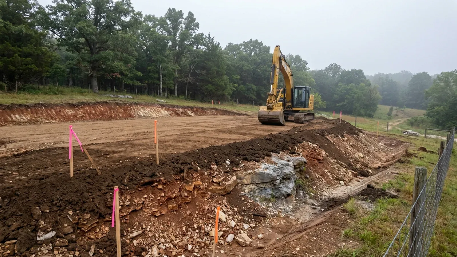
The expensive surprises are in the ground, not the building
What moves a Missouri budget is usually below grade, and which problem you have depends on where in the state you are. Across the Ozarks it is karst: the Department of Natural Resources maps more than sixteen thousand sinkhole points, and what matters there is what is under the slab rather than what the slab sits in. Across the north and centre it is claypan — dense, slow-draining subsoil that perches water above it for months of the year. In the Bootheel it is deep alluvium carrying the highest seismic demand in the state, where the same soils modelled for liquefaction attack post embedment and slab bearing rather than the frame above them. The same ground then decides the septic system, and Missouri does not run that on a percolation test alone: the rule allows a perc test or a soil morphology examination in a profile pit, and the authority reviewing your parcel picks which. Where a drainfield sits near a sinkhole's drainage, perc testing on its own is not permitted at all. Whether that authority is the state or your own county is itself a local question, and it changes what you have to file. So the site work, the foundation and the drainfield get resolved together rather than one at a time. We price the dirt before we price the building.
What we build in St. Joseph
All nine services are available in St. Joseph. What a build costs depends far more on the parcel than on square footage, so we price against your land rather than publishing a rate card.
Custom Plans
Barndominium floor plans drawn to your parcel and your soil, and to whichever Missouri authority — a county, a city, or none at all — will review them.
Barndominium Kits
Barndominium shell packages delivered to your Missouri land, drawn to the criteria your own county or city publishes — because the state publishes none.
Turnkey Builds
Start to finish barndominium construction in Missouri: the permits that genuinely apply, site work, shell and interior finish, under one contract.
What a build looks like
Three stages every St. Joseph project passes through, from a raw parcel to a finished home. Site work first, because that is where the budget is decided.
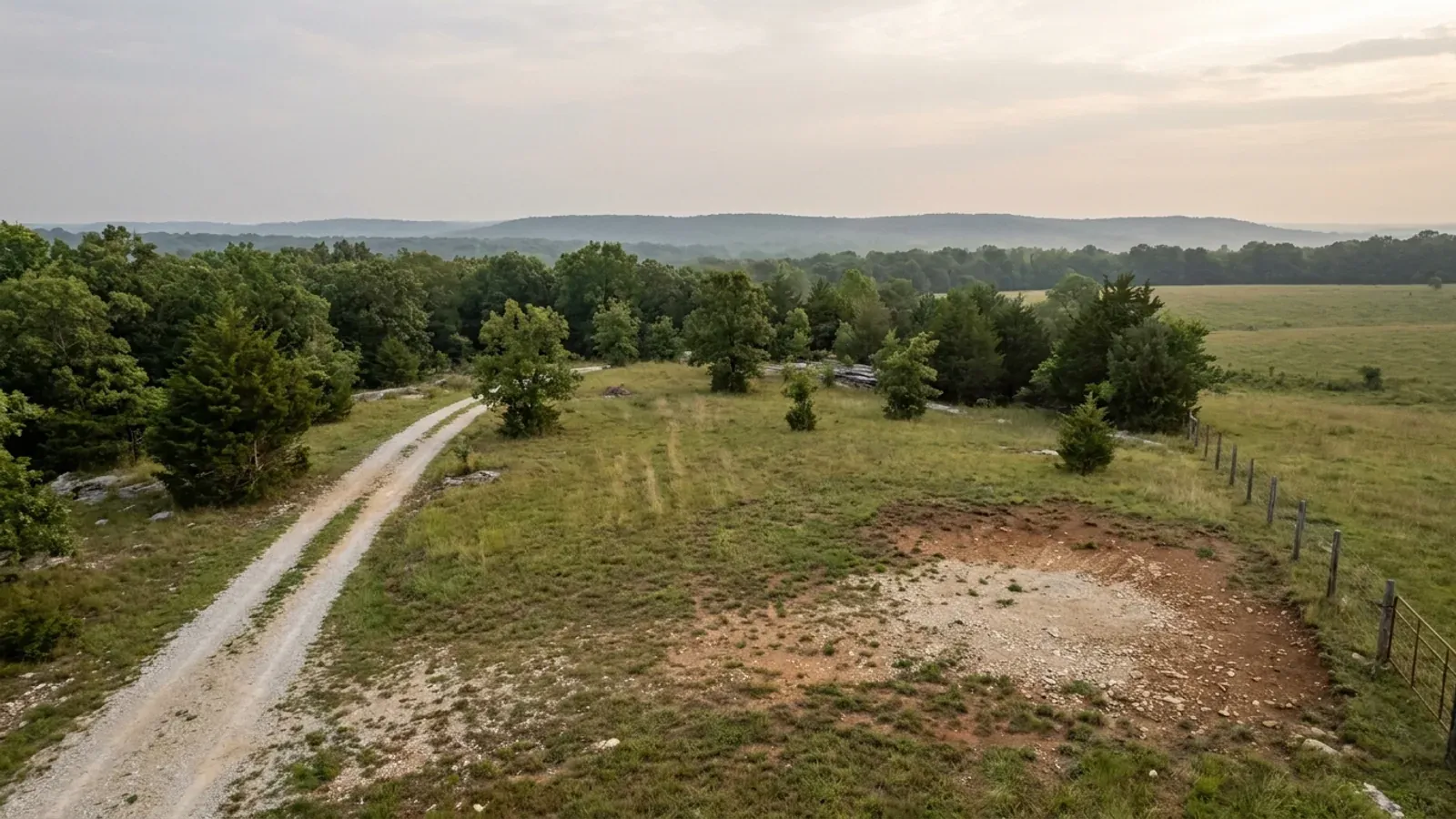
The parcel
Zoning, setbacks, flood zone and utility access get checked before anything is drawn.
Pad and permit
Clearing, grading and a compacted pad, while the submittal works through whichever office issues the permit where you are building.
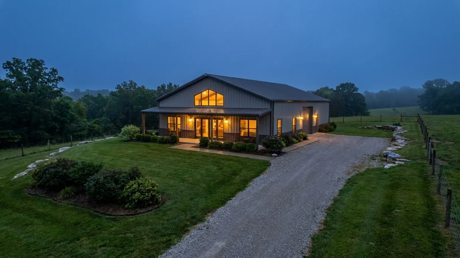
Frame to finish
Shell erected and dried in, then systems, insulation and interior finish through to CO.
Those are the rules where you are building in St. Joseph. Tell us what you want to build and we will draw it to them.
Where we build around St. Joseph
Buchanan County and the rural land around it. The buildable acreage for a project this size usually sits outside the city limits, which is frequently what changes who issues your permit.
Keep reading
The questions that usually come next once you know what St. Joseph allows.
Barndominium Cost Guide
Sourced per-square-foot ranges by tier and by size, with a calculator built on the same figures.
Read itIs It Legal in Missouri?
Classification, zoning, the HOA gate, and why "nonresidential farm building" does not cover a home.
Read itHow Long Does It Take?
Census build-duration data, and what actually sets the permit clock where you are building.
Read itNearby areas we build in
Others we cover nearby, and they are not interchangeable. One may be a county with an adopted building code, another a county with no legal authority to have one, another a city that permits inside its own limits whichever county the land sits in. So the office that issues the permit, whether anyone inspects the work at all, the fees, the zoning and the design figures can differ from one card to the next — sometimes across a single property line.
Building in St. Joseph: common questions
8 questions we get asked most often about building in St. Joseph. If yours is not on the list, ask it directly.
Can I put up a steel-sided shop in St. Joseph, or is metal banned like it is in some metro counties?
How much land do I actually need to build a house inside the city limits?
How deep do the footings and post holes go?
Who permits my septic system — the city or the county?
What changes the moment I cross the city line?
Is radon really something I need to plan for up here?
Can I build the shop first and live in it while the house goes up?
What does a building permit cost, and does the city license contractors?
Building in St. Joseph?
Start with the plan. Tell us what you want to build and we will draw it, then confirm which office issues the permit for your parcel, what it will let you put there, and what wind load it has to meet. That conversation costs nothing.