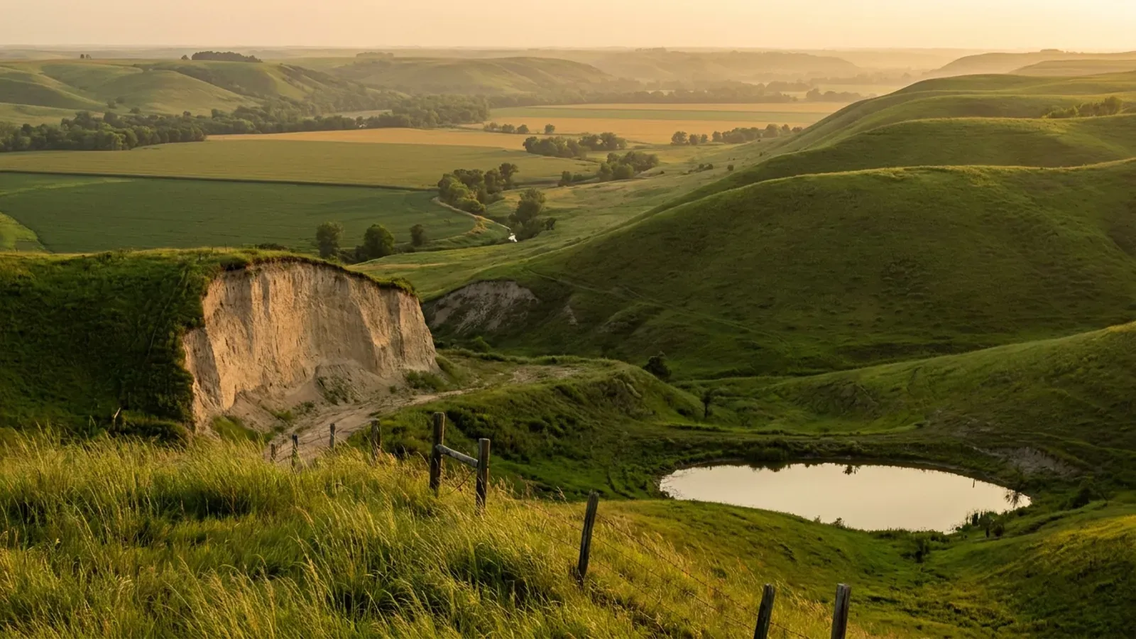
Barndominium Builders in Buchanan County, MO
Buchanan County is 408.249 square miles of wind-blown silt above the Missouri River, and almost all of the land is outside the city. St. Joseph holds 71,098 of the county's 83,574 residents on 44.036 square miles; the unincorporated balance is 11,018 people spread across everything else, farming 140,427 acres on 619 holdings that average 227 acres. That gap between where the people are and where the land is defines the county page, because the rules change at the city line and not at the county line. Inside St. Joseph the city permits and inspects against the 2018 International Residential Code and a full companion set. Outside it, Buchanan County has adopted no building code at all — and its own 2022 Comprehensive Plan lists adopting one as a strategy still to be carried out. What the county does have is a Zoning Order that reaches the entire unincorporated area, and that Order is not a formality. Section 109.115.3 requires a building permit for any structure in every zoning district regardless of acreage, and states that failing to get one can result in the demolition of the structure. Section 203 sets the minimum lot area for a dwelling in the A-1 General Agricultural District at twenty acres. The Environmental Inspector permits and inspects the septic system, the floodplain article requires the lowest floor of a new house in an A or AE zone to sit a foot above base flood elevation, and the County Road Supervisor sizes the driveway tube. So the honest answer for a buyer here is not that nobody is watching. It is that the county checks where the building sits, how big the parcel is, where the sewage goes and how high the floor is — and leaves how the building is framed, braced and insulated to the owner and to whoever seals the drawings.
Buchanan County at a glance
- County
- Buchanan County
- Cities & counties covered
- Buchanan County 83,574 · City of St. Joseph 71,098 · Balance of Buchanan County (unincorporated) 11,018
- Site visits
- Same-week site visits across the unincorporated county — the Missouri River bottom ground west toward Rushville and Lewis and Clark Village, the loess ridges east toward Easton, and the open country south around Faucett, Agency and De Kalb
Building conditions in Buchanan County
Missouri sets no residential building code and no statewide way of adopting one, so the first question on any parcel is not what the code says — it is whether there is one. Only counties of the first and second classification may adopt a building code at all, and classification is set by assessed valuation rather than population, so a small county can hold the power while a much larger one does not. Zoning is a separate power with its own answer, granted only after a vote of the people and repealable by another. What changes from one jurisdiction to the next is whether the work is inspected, who issues the permit, what that office charges, how the parcel is zoned, and the design figures your drawings have to satisfy.
RSMo 64.170 (RSMo 1939 § 14942; A.L. 1945; A.L. 1963; A.L. 1999; A.L. 2001 S.B. 86; A.L. 2008 S.B. 1181), Effective 28 Aug 2008, rendered from revisor.mo.gov 8 September 2026; Buchanan County Comprehensive Plan, adopted 2022, Housing Objective 2 Strategy 2.3, page 116, retrieved from co.buchanan.mo.us 8 September 2026; Buchanan County Zoning Order as amended (January 2026 reprint incorporating amendments to December 2025) and Buchanan County Subdivision Regulations 2016, both read in full 8 September 2026; classification from the Missouri Association of Counties, 'Missouri Counties by Classification', published May 2025
Buchanan County Zoning Order §§ 109.115, 109.115.3 (revised 11 May 2018), 804, 804.1.2, 804.1.4, 804.1.5 and 804.1.9 (amended June 1985), January 2026 reprint incorporating amendments to December 2025, downloaded as PDF from co.buchanan.mo.us and read 8 September 2026, with §§ 109.115 and 701 re-extracted independently page by page and confirmed identical; Buchanan County Permits and Licenses index, co.buchanan.mo.us, read 8 September 2026
Buchanan County Zoning Order § 203 Agricultural Density Requirements Table (amended 15 August 2012), §§ 109.115.1 (amended 17 May 2019), 205 (amended June 1998), 206 (amended December 2025), 805.6.1 and 806.8, January 2026 reprint; County Commission of Buchanan County, order of Wednesday 25 March 2026, January Term 2026, adopting Items 4 to 9 recommended by the Planning and Zoning Commission on 18 March 2026, signed by the three commissioners and certified by County Clerk Mary Baack-Garvey, PDF read 8 September 2026; Buchanan County Comprehensive Plan 2022, Future Land Use, page 96
Buchanan County Zoning Order § 805 Fee Schedule (amended 4 October 2010), §§ 805.1.1, 805.1.4 (amended 1 January 2017), 805.1.4.1 (added 1 January 2017), 805.1.5, 805.1.6, 805.1.7, 805.1.8, 805.1.9, 805.5.1 and 805.8, January 2026 reprint incorporating amendments to December 2025, read 8 September 2026; the 25 March 2026 County Commission order repealed § 705.4.7.5 and left § 805 untouched
Buchanan County Zoning Order §§ 203, 303, 701 and 703, and the Buchanan County Table of Uses as amended October 2025, both read in full 8 September 2026, with § 701 re-extracted independently from page 57 of the Order and confirmed identical; the county's Classes of Districts sheet (Buchanan County Planning and Zoning, 2019) lists the sixteen district symbols the Table of Uses columns refer to
USDA-NRCS Soil Data Access, survey area MO021 (Buchanan County, Missouri), tabular queries run 8 September 2026 against the legend, mapunit, component, chorizon, copmgrp and corestrictions tables, with a bogus survey area returning an empty result as a control; USDA-NRCS Official Series Descriptions for KNOX and MARSHALL, soilseries.sc.egov.usda.gov, read 8 September 2026; U.S. Environmental Protection Agency, Map of Radon Zones county spreadsheet (radon_zones-spreadsheet.xls, last saved 22 September 2025), downloaded from epa.gov and parsed 8 September 2026 — Buchanan, MO reads Zone 1
Also worth knowing before you build in Buchanan County
- Septic is a county ordinance, and the three-acre state exemption is not a safe assumption
- The Missouri Department of Health and Senior Services names the permitting authority for on-site wastewater in Buchanan County as the 'Buchanan County Commission (everything except City of St. Joseph)', authority type Ordinance, at 411 Jules Street — the state's own record of where the county line of authority runs, drawn at the St. Joseph city limits. The ordinance sits inside the Zoning Order at § 721.2.2. It adopts RSMo 701.025 to 701.059 and 19 CSR 20-3.080 by reference, and then requires that 'all persons engaged in the construction, major modification or major repair of an on-site sewage disposal system in Buchanan County shall obtain a permit from the Buchanan County Environmental Inspector' — with the Inspector empowered to inspect up to one hundred percent of systems, and to uncover an unnotified installation at the owner's expense. RSMo 701.031 excludes a single-family lot of three acres or more from the state programme, but RSMo 701.047 lets a county adopt more restrictive standards than the state's, so the acreage argument is a question for the Environmental Inspector rather than an answer. Two county figures are firm: in A-1, A-2 and A-OR a septic system needs a total area of at least 43,560 square feet — one acre — and in every other district the area is set by a soil morphology test that must be done before a building permit can issue.
- Five fire protection districts, and a statute that stops them being the building department
- The Missouri fire department registration list for 2026 records five Chapter 321 fire protection districts serving Buchanan County — Southwest Buchanan County at Rushville, South Central Buchanan County at Agency, Easton, DeKalb and San Antonio — alongside the St. Joseph Fire Department, the Rosecrans air base department and the Region H hazardous materials team. In some Missouri counties a district has stepped into the gap a county code leaves and become the construction authority. That route is closed here, and the statute is explicit about why. RSMo 321.228.1(2) defines a 'residential construction regulatory system' to include any county ordinance, order or rule pertaining to residential construction, any permitting programme relating to it, and any inspection programme. Buchanan County's Zoning Order is exactly that. Subsection 2 then provides that where a county adopts, implements and enforces such a system, fire protection districts wholly or partly inside it are 'without power, authority, or privilege to enforce or implement' one, and any they adopt is advisory only. What the districts keep is real but narrow: final say on fire hydrant location, specification and flow rates and on fire lanes; the right to inspect the alteration, enlargement, replacement or repair of a one- or two-family dwelling, though not new construction; and no fee for either. None of the five publishes an adopted building or residential code.
- The one construction standard the county does impose is a foot of freeboard
- The Missouri River runs the whole western edge of the county and the floodplain articles of the Zoning Order — §§ 610 to 621 — are where the county comes closest to regulating how a house is built. No development is permitted in a numbered or unnumbered A zone or an AE zone except through a floodplain development permit granted by the County Commission or its designee, and § 614.2 requires new or substantially improved residential construction, manufactured homes included, to have the lowest floor including basement elevated to one foot above base flood elevation. That is a foot of freeboard above the National Flood Insurance Program minimum, and it is the only dimensional construction requirement the county sets for a dwelling. Buchanan County has been in the NFIP regular programme since 1 August 1978 under community number 290040, and FEMA's Community Status Book gives 13 November 2026 as the map date for every community in the county. Five of the six communities listed participate; the City of Easton does not, and carries an initial Flood Insurance Rate Map date of 13 November 2026 with a sanction date a year later. How much of the county this reaches is measurable: of 265,255 acres in the soil survey, about 40,600 component-weighted acres are rated occasionally flooded and about 11,300 frequently flooded, with a further 39,700 rated rare.
- Where the county's rules stop, and what replaces them
- A county code adopted under RSMo 64.170 to 64.200 reaches only unincorporated territory under RSMo 64.180, and the Buchanan County Zoning Order draws the same line for itself at § 105: the area governed is 'the entire unincorporated area of Buchanan County, Missouri.' In Buchanan County that boundary is unusually consequential, because the incorporated share is one city and a handful of villages. Of 83,574 residents in 2024, the Census Bureau puts 71,098 inside St. Joseph, 653 in Agency, 239 in De Kalb, 226 in Easton, 218 in Rushville, 92 in Lewis and Clark Village, 30 in the Buchanan portion of Gower and none at all in the Buchanan portion of Dearborn — leaving 11,018 in the unincorporated balance. On land it runs the other way: St. Joseph occupies 44.036 of the county's 408.249 square miles. So most of the people are inside a city that permits and inspects against the 2018 International Building, Existing Building, Residential, Mechanical and Fuel Gas Codes, the 2018 Uniform Plumbing Code, the 2018 International Fire Code and the 2017 National Electrical Code — and most of the ground is outside it, under a zoning permit and nothing else.
- Splitting off a building site: five acres is the line that matters
- Buchanan County's Subdivision Regulations define a subdivision as the division of a tract into two or more lots for sale or development where a street is to be dedicated, reserved, platted, opened or constructed — 'except the division of land into two (2) parcels greater than five (5) acres each shall be exempt from these regulations', an exemption amended into the definition on 12 October 2011. Separately, § 203.1 lets a single dwelling built on a tract of forty acres or more before January 2000 be separated onto one or more acres without rezoning to residential. Neither exemption reaches the building permit: § 109.115.2 states that twenty or more acres is not subject to rezoning, but a building permit and an approved on-site sewage system are still required. And once a parcel is settled, § 109.116 puts the driveway in the county's hands as well — road and driveway cuts are sized and approved by the County Road Supervisor, with the landowner paying for the culvert tube and the county installing it.
- The land: 619 farms, 140,427 acres, and a quarter of it gone in five years
- The 2022 Census of Agriculture counts 619 farms in Buchanan County working 140,427 acres at an average of 227 acres. Cropland accounts for 99,276 of those acres, pastureland 19,667, woodland 10,008 and other uses 11,476. The distribution is the useful part for anyone shopping for a building site: 41 holdings run 1 to 9 acres, 193 run 10 to 49, 236 run 50 to 179, and only 59 exceed 500 acres. That is a county of small and mid-sized parcels rather than one of large blocks, which suits a house-and-shop build and sits awkwardly against the A-1 district's twenty-acre minimum for a dwelling. The trend is sharper still: land in farms fell 24 percent and the number of farms 22 percent between 2017 and 2022, while average farm size held almost flat at minus 2 percent — the signature of holdings leaving agriculture whole rather than being consolidated.
Missouri Department of Health and Senior Services, OWTS Construction Permit Application Process, health.mo.gov, county selector queried for Buchanan 8 September 2026, with Camden run first as a known-good control and a nonsense county name returning no authority block; Buchanan County Zoning Order §§ 721.2.2.1 (amended May 2011), 721.2.2.2 (amended 1 July 2005) and 721.2.2.3 (amended 2011); RSMo 701.031 Effective 28 Aug 2005 and RSMo 701.047 Effective 28 Aug 1994, rendered from revisor.mo.gov 8 September 2026
Missouri Fire Departments registration dataset, data.mo.gov resource gbr4-c765, filtered on county name Buchanan, registration year 2026, retrieved 8 September 2026; RSMo 321.228, Title XXI Chapter 321, Effective 28 Aug 2012 (L. 2012 H.B. 1647 merged with S.B. 769), full text rendered from revisor.mo.gov 8 September 2026
Buchanan County Zoning Order §§ 610.1, 611.1 and 614.2, floodplain management sections, January 2026 reprint, read 8 September 2026; OpenFEMA NfipCommunityStatusBook API v1 filtered on state eq 'MO' and county eq 'BUCHANAN COUNTY', six records returned, data last refreshed 25 August 2026, queried 8 September 2026 with a nonsense county name returning zero rows as a control; USDA-NRCS Soil Data Access flooding frequency query on survey area MO021, run 8 September 2026
RSMo 64.180, Effective 28 Aug 2001, and RSMo 64.170, Effective 28 Aug 2008, rendered from revisor.mo.gov 8 September 2026; Buchanan County Zoning Order § 105; U.S. Census Bureau Vintage 2024 Subcounty Population Estimates, Missouri file sub-est2024_29.csv, SUMLEV 157 place-part records and the 'Balance of Buchanan County' record, and the 2024 TIGER Gazetteer county and place land-area files, all fetched from www2.census.gov 8 September 2026; City of St. Joseph, 'What building codes have been adopted by the City of St. Joseph?', stjosephmo.gov Building Development FAQ, rendered and read 8 September 2026
Buchanan County Zoning Order §§ 109.94 (amended 12 October 2011), 109.115.2 (adopted 5 January 2011), 109.116 (adopted 5 January 2011) and 203.1 (adopted 28 January 2000), January 2026 reprint; Buchanan County Subdivision Regulations 2016, read 8 September 2026
USDA National Agricultural Statistics Service, 2022 Census of Agriculture, County Profile for Buchanan County, Missouri (cp29021), downloaded from nass.usda.gov and read 8 September 2026; a nonexistent county profile number on the same path returned a 196-byte HTTP 404 as a control
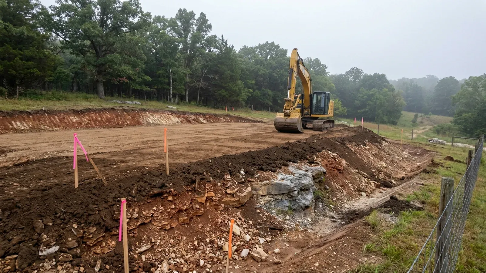
The expensive surprises are in the ground, not the building
What moves a Missouri budget is usually below grade, and which problem you have depends on where in the state you are. Across the Ozarks it is karst: the Department of Natural Resources maps more than sixteen thousand sinkhole points, and what matters there is what is under the slab rather than what the slab sits in. Across the north and centre it is claypan — dense, slow-draining subsoil that perches water above it for months of the year. In the Bootheel it is deep alluvium carrying the highest seismic demand in the state, where the same soils modelled for liquefaction attack post embedment and slab bearing rather than the frame above them. The same ground then decides the septic system, and Missouri does not run that on a percolation test alone: the rule allows a perc test or a soil morphology examination in a profile pit, and the authority reviewing your parcel picks which. Where a drainfield sits near a sinkhole's drainage, perc testing on its own is not permitted at all. Whether that authority is the state or your own county is itself a local question, and it changes what you have to file. So the site work, the foundation and the drainfield get resolved together rather than one at a time. We price the dirt before we price the building.
What we build in Buchanan County
All nine services are available in Buchanan County. What a build costs depends far more on the parcel than on square footage, so we price against your land rather than publishing a rate card.
Custom Plans
Barndominium floor plans drawn to your parcel and your soil, and to whichever Missouri authority — a county, a city, or none at all — will review them.
Barndominium Kits
Barndominium shell packages delivered to your Missouri land, drawn to the criteria your own county or city publishes — because the state publishes none.
Turnkey Builds
Start to finish barndominium construction in Missouri: the permits that genuinely apply, site work, shell and interior finish, under one contract.
What a build looks like
Three stages every Buchanan County project passes through, from a raw parcel to a finished home. Site work first, because that is where the budget is decided.
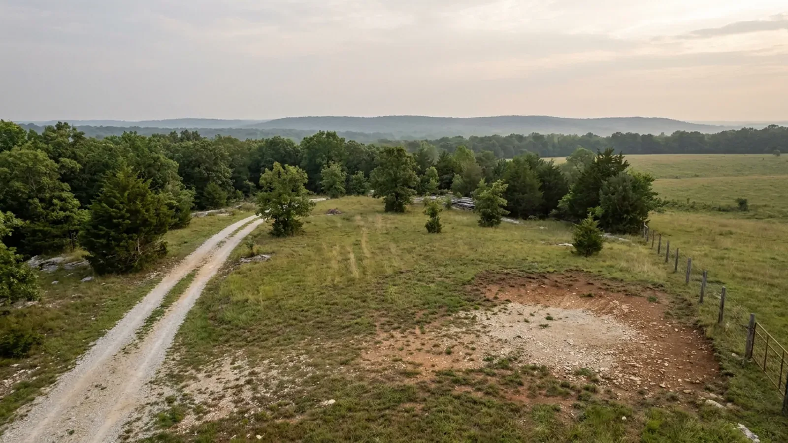
The parcel
Zoning, setbacks, flood zone and utility access get checked before anything is drawn.
Pad and permit
Clearing, grading and a compacted pad, while the submittal works through whichever office issues the permit where you are building.
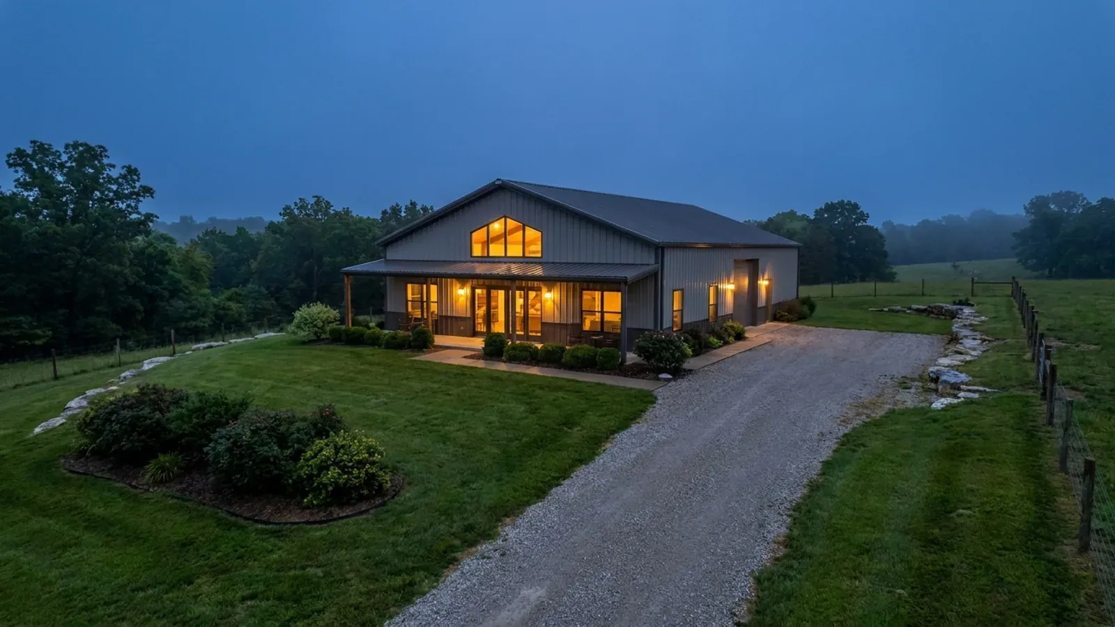
Frame to finish
Shell erected and dried in, then systems, insulation and interior finish through to CO.
Those are the rules where you are building in Buchanan County. Tell us what you want to build and we will draw it to them.
Where we build around Buchanan County
Buchanan County and the rural land around it. The buildable acreage for a project this size usually sits outside the city limits, which is frequently what changes who issues your permit.
Keep reading
The questions that usually come next once you know what Buchanan County allows.
Barndominium Cost Guide
Sourced per-square-foot ranges by tier and by size, with a calculator built on the same figures.
Read itIs It Legal in Missouri?
Classification, zoning, the HOA gate, and why "nonresidential farm building" does not cover a home.
Read itHow Long Does It Take?
Census build-duration data, and what actually sets the permit clock where you are building.
Read itNearby areas we build in
Others we cover nearby, and they are not interchangeable. One may be a county with an adopted building code, another a county with no legal authority to have one, another a city that permits inside its own limits whichever county the land sits in. So the office that issues the permit, whether anyone inspects the work at all, the fees, the zoning and the design figures can differ from one card to the next — sometimes across a single property line.
Building in Buchanan County: common questions
9 questions we get asked most often about building in Buchanan County. If yours is not on the list, ask it directly.
Does anyone inspect a house built in unincorporated Buchanan County?
How much land do I need to build a house here?
Can I put up a metal building and live in it?
Is there a limit on how big the shop can be relative to the house?
My lot is over three acres — do I still need a septic permit?
What changes the moment I cross into St. Joseph?
Could a fire district end up regulating my build instead?
What should I actually worry about in the ground here?
How long does a county permit take and what does it cost?
Building in Buchanan County?
Start with the plan. Tell us what you want to build and we will draw it, then confirm which office issues the permit for your parcel, what it will let you put there, and what wind load it has to meet. That conversation costs nothing.