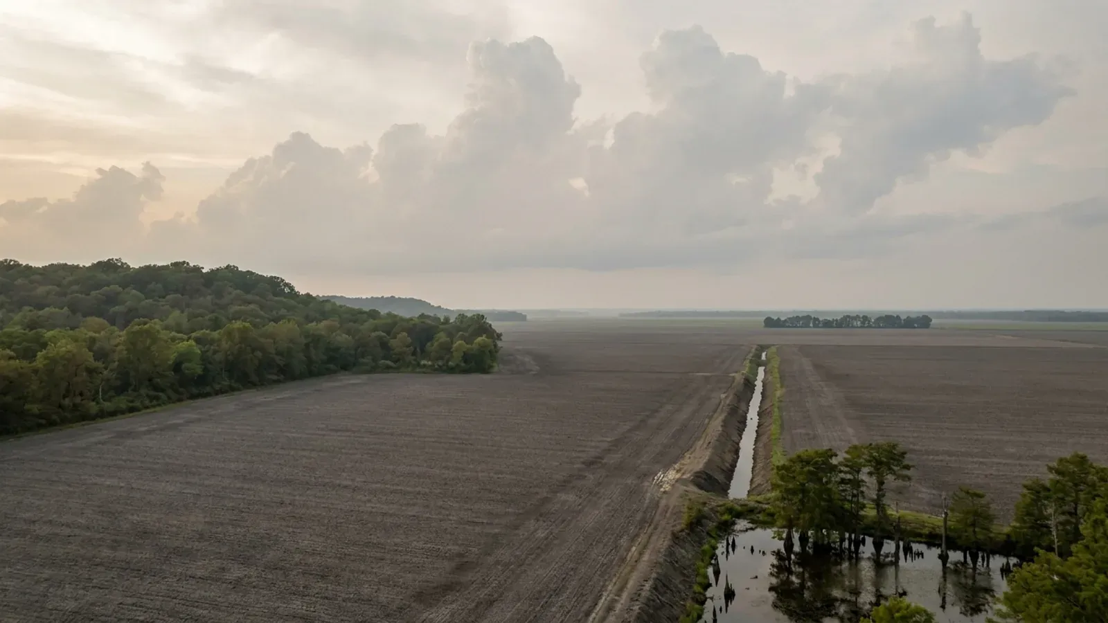
Barndominium Builders in St. Francois County, MO
St. Francois County is the Old Lead Belt: Farmington, Park Hills, Bonne Terre, Desloge and Leadwood clustered along and either side of US-67 about seventy miles south of St. Louis, with the igneous knobs of the St. Francois Mountains on one side and dolomite uplands on the other. It is a first-classification county on 67,503 people, which under RSMo 48.020 is a statement about assessed valuation and not about size — and it matters, because RSMo 64.170 empowers only first- and second-classification counties to adopt a building code at all. St. Francois may. It has not. The county's own departmental index runs assessor, auditor, collector, commission, county clerk, elections, emergency management, information technology, public administrator, recorder, road and bridge and treasurer, and contains no building department, no building official, no building commission and no planning or zoning office. What the county does issue is a permit — and reading it is the whole story. The "St. Francois County Building Permit" is a County Clerk form. Its heading cites Chapter 137 of the Revised Statutes, Assessment and Levy of Property Taxes. It asks for your name, the location and directions to the property, whether the building is residence, commercial, factory or other, the builder's name, the number of square feet, brick or frame, the acres or lots, the estimated cost of construction exclusive of land and the estimated date of completion — and it is signed by the County Clerk. There is no plan review on it, no inspection schedule, no code edition and no design criteria. The county's own floodplain page states the permit costs $20.00, is required for all new development before work begins, and is obtained from the County Clerk's Office on the third floor of the Court Annex in Farmington. So for land outside a city, what actually gates a barndominium here is a $20 registration at the courthouse, a floodplain check, and an on-site wastewater construction permit from the St. Francois County Health Center in Park Hills — which under its own ordinance wants a design plan and a soil morphology, not a percolation test. Cross a city limit and the answer changes completely, and it changes four different ways. Farmington runs the 2015 I-Codes with a filled-in Table R301.2(1), a building inspector and a fee schedule. Park Hills runs the 2012 editions and publishes different numbers. Desloge runs the 2006 editions and publishes a twelve-inch frost line where its neighbours publish thirty. Bonne Terre requires a permit, duplicate plans and a surveyor's site plan, but adopts no model building code at all. That spread — inside one county, inside eight miles — is the single most useful thing anyone can tell you before you draw a foundation here.
St. Francois County at a glance
- County
- St. Francois County
- Population
- 67,503
- ZIP codes
- 63640, 63601, 63628, 63624, 63637, 63653, 63036, 63087, 63630, 63626, 63648
- Site visits
- Same-week site visits across the county — Farmington and Park Hills on US-67, north to Bonne Terre and Desloge, west to Leadwood and Bismarck, and out to the acreage around Doe Run, French Village, Terre du Lac and the Big River bottoms.
Building conditions in St. Francois County
Missouri sets no residential building code and no statewide way of adopting one, so the first question on any parcel is not what the code says — it is whether there is one. Only counties of the first and second classification may adopt a building code at all, and classification is set by assessed valuation rather than population, so a small county can hold the power while a much larger one does not. Zoning is a separate power with its own answer, granted only after a vote of the people and repealable by another. What changes from one jurisdiction to the next is whether the work is inspected, who issues the permit, what that office charges, how the parcel is zoned, and the design figures your drawings have to satisfy.
RSMo 64.170, Title VI Chapter 64, Effective 28 Aug 2008, revisor.mo.gov, rendered and read 8 September 2026; RSMo 48.020, Effective 28 Aug 2026; Missouri Association of Counties, "Missouri Counties by Classification", published May 2025, mocounties.com/s/Missouri-Counties-by-Classification-2025.pdf, downloaded and read 8 September 2026; Saint Francois County departmental index, sfcgov.org, read 8 September 2026
St. Francois County Clerk form SFC-RURAL-BUILDING-PERMIT.pdf, county document server, page dated 26 May 2021, read from the Internet Archive capture of 10 May 2026; St. Francois County Forms & Permits page, sfcgov.org/county-clerk/forms-permits, Internet Archive captures of 19 April 2026 and 5 November 2024; St. Francois County Floodplain page, sfcgov.org/st-francois-county-floodplain, Internet Archive captures of 15 May 2026 and 9 October 2025; RSMo 137.177, Effective 28 Aug 1961, revisor.mo.gov, read 8 September 2026
Farmington Municipal Code §§ 500.010, 500.060, 500.120, 500.180 (Ord. No. 15-11, 12-18-2017), ecode360.com/FA3296, code current through 01-08-2026, read 8 September 2026; Park Hills Municipal Code §§ 500.090, 500.340 (Ord. No. 1063-14, 2-11-2014), ecode360.com/PA3394, code current through 03-24-2026; Desloge City Code §§ 500.010, 500.110 (Ord. No. 2008.21, 10-13-2008), ecode360.com, code current through 11-10-2025; Bonne Terre Municipal Code ch. 500 arts. I–II (Ord. No. Z-3-90K, 12-14-1999, application amended by Ord. No. 201715, 6-12-2017)
Desloge City Code ch. 500 Attachment 2, Appendix B, Table R301.2(1) [R.O. 2001; Ord. No. 2008.21 §§1–2, 10-13-2008], publication August 2025, PDF downloaded twice and read 8 September 2026; Farmington Municipal Code § 500.130, Table R301.2(1) and § R403.1.4.1 amendment (Ord. No. 15-11, 12-18-2017), read and independently re-read 8 September 2026; Park Hills Municipal Code § 500.350, Table R301.2(1) insertions (Ord. No. 1063-14, 2-11-2014)
U.S. EPA Region 7, "Big River Mine Tailings National Priorities List (NPL) Superfund Site, St. Francois County, Missouri — Fact Sheet, August 2021", epa.gov/mo, page last updated 12 December 2025, rendered and read 8 September 2026; U.S. EPA Region 7, "Superfund National Priorities List (NPL) Sites Near Big River and Floodplain; St. Francois, Jefferson, and Washington Counties, Missouri — Fact Sheet, September 2021", epa.gov/mo, page last updated 12 December 2025
Missouri Department of Health and Senior Services, OWTS Construction Permit Process, health.mo.gov/business-professionals/onsite-wastewater-treatment/owts-construction-permit-process?county=St.%20Francois, rendered and read 8 September 2026 (Camden run first as a known-good control); St. Francois County Health Center, Wastewater Treatment, sfchealth.org/services/environmental-health/waste-water-treatment, read 8 September 2026; RSMo 701.031 (Effective 28 Aug 2005) and RSMo 701.047 (Effective 28 Aug 1994), revisor.mo.gov
Also worth knowing before you build in St. Francois County
- The floodplain ordinance is the county's one real construction rule
- The county's Floodplain Management Ordinance No. 2011-01 had its first reading 1 February 2011, second reading 22 February 2011, and third reading and final approval 29 March 2011, and recites its authority as RSMo 49.600. The county states that under its agreement with FEMA it must "regulate building within the floodplain locations so that all new construction is elevated at least one (1) foot above the Base Flood Elevation." The building permit form itself asks "Is Site In Flood Plain? Yes / No" and warns that if yes, a Floodplain Development Permit is also needed. Flood maps can be viewed at the Floodplain Manager's office in the County Commissioners' Office, Annex Suite 301, Farmington. Eight communities in the county are in FEMA's Community Status Book with a current effective map date of 16 June 2011: unincorporated St. Francois County, Farmington, Park Hills, Desloge, Bonne Terre, Leadwood, Iron Mountain Lake — and Bismarck, which is listed as not participating and under sanction. If you are buying in or near Bismarck, that status decides whether federally backed flood insurance is available at all, and it is worth checking before you sign.
- Fire districts: checked, and none of them is acting as a building department
- This check matters in Missouri because a fire protection district is a separate route to construction regulation that has nothing to do with county classification: RSMo 321.220(12) lets a district board adopt fire ordinances whose standards may be industrial codes from nationally recognised trade bodies, and in some Missouri counties a district has become the only construction authority on the ground. Twelve fire organisations serve St. Francois County — among them Doe Run Fire Protection District, Leadwood Fire Protection District, Big River Fire Protection, Bismarck Rural Fire Protection Association, Wolf Creek Fire Protection Association, Terre Du Lac, Lake Timberline, Goose Creek Lake, and the Farmington, Park Hills, Desloge and Leadington municipal departments. Several of these are volunteer associations or municipal departments rather than Chapter 321 districts at all. None publishes an adopted residential or building code. There is also a limit written into the statute book: RSMo 321.228, effective 28 August 2012, provides that where a city, town, village or county "adopts or has adopted, implements, and enforces a residential construction regulatory system," fire districts inside it are "without power, authority, or privilege" to run one — the definition of that system expressly includes "any permitting system, or program relating to residential construction." Districts keep final authority over hydrant location and specification, hydrant flow rates and fire lanes, and may inspect the alteration, enlargement, replacement or repair of a one- or two-family dwelling, but may not charge a fee for either. Ask your district by name what it requires for access, hydrants and lane width — that part is real everywhere.
- No metal-siding ban, no minimum roof pitch and no design review in Farmington's residential districts
- Some Missouri jurisdictions prohibit exactly the exterior a steel or post-frame building is made of. Farmington's is not one of them. Its Zoning Regulations, Chapter 405, carry no prohibition on metal siding or metal roofing, no minimum roof pitch, no minimum eave projection, no architectural or appearance review board and no minimum dwelling floor area in the R-1 through R-7 residential districts or in the supplementary regulations; the dimensional standards are pushed out to tables of lot area, width, height and yards. Its building-code chapter carries none either. What Chapter 405 does regulate for a shop building is placement rather than looks: an accessory building may be built in a required rear yard but "shall not occupy more than thirty percent (30%) of a required rear yard," must stand at least five feet from any side or rear lot line or the width of any utility easement, whichever is greater, and if it sits closer than ten feet to the house it is treated as part of the house for setback purposes. There is no square-foot cap on it at all. Then there is the sequencing rule, which is the one that catches barndominium buyers: "No accessory building shall be constructed upon a lot until the construction of the main building has been actually commenced, and no accessory building shall be used for dwelling purposes unless the main building on the lot is also being used for dwelling purposes." Inside Farmington you cannot put up the shop, live in it, and build the house later.
- Farmington's local amendments a steel building actually feels
- Farmington does not adopt the 2015 IRC clean — its § 500.130 amendment list changes several things that bear directly on a metal-skinned building on open ground. R403.1.4.1 fixes the frost line at thirty inches below finish grade, citing the U.S. Weather Bureau and University of Missouri Extension. R405.1.1 requires "sixteen (16) total inches of one (1) inch or greater clean rock" for bedding and coverage on every concrete or masonry foundation drain, and permits Schedule 35 perforated pipe as an alternative. Section 1609.4.2 provides that wind surface roughness "shall be assumed to be Surface Roughness C unless sufficient information is submitted for the code official to determine that the site should be permitted to be classified as a different exposure category" — for a building sitting alone in a field, that is the realistic assumption anyway, and it is worth pricing in from the start. R105.2 exempts one-story detached accessory structures up to 120 square feet from a permit, and Park Hills sets the same exemption at 100 square feet. R302.13, fire protection of floors, and R303.4, mechanical ventilation, are both deleted. R313.2 is replaced with Missouri's builder-offers-sprinklers provision, under which a builder of one- to four-unit dwellings must offer the purchaser the option, at the purchaser's cost, of installing fire sprinklers.
- Bonne Terre's only construction standard does not reach a house
- Bonne Terre is a genuine oddity and worth knowing about if your land is on that side of the county. Its building chapter opens with Article I, Seismic Design, whose whole text is: "All construction in the City shall comply with the requirements of Sections 319.200 through 319.207, RSMo., and any amendments thereto, relating to earthquakes and seismic construction requirements." Read the statute it points at and the loop closes: RSMo 319.203.2 states those sections "shall not apply to" any private structure of less than ten thousand square feet in total area, or to "any single-family or duplex residence." So the city's one adopted construction standard, by the terms of the statute it adopts, does not reach a barndominium dwelling. What does apply is Bonne Terre's own permit machinery: no work may commence without a building permit from the Building Inspector, applications must come with duplicate plans showing size, location on the lot, "the basic materials of which it is to be constructed" and details of construction, all new construction plans must include a site plan approved by a registered land surveyor, and the fee is $10 for construction under $10,000 plus $1 per additional $1,000. Permits lapse if no work starts within six months or the work is unfinished after two years.
- The ground: a fragipan on a quarter of the county, and rock is rarely the problem
- "Ozarks" is not a soil report, and the measured answer here is not the one people expect. Across the 289,159 acres of the St. Francois County soil survey area, components carrying a lithic bedrock restriction within twenty inches of the surface account for about 12,700 acres — roughly 4% of the survey area. Within forty inches it is about 71,200 acres, near a quarter. The restriction that actually governs a footing here is not rock but a fragipan: about 78,300 acres, some 27% of the survey area, carry one, mapped between 41 and 91 centimetres — 16 to 36 inches — which is precisely the band Farmington's and Park Hills' thirty-inch frost line lands inside. The dominant soils split the county in two. Hildebrecht, Goss, Caneyville and Crider formed in loess over dolomite residuum on the carbonate side; Delassus, Jonca, Irondale and Syenite are the St. Francois Mountains, and their series descriptions are explicit — Syenite "formed in residuum from granite" with "boulders and stones" as a defining characteristic and bedrock at 20 to 40 inches, Irondale from residuum whose "parent rock is composed mostly of rhyolites and felsites," Delassus from loess over "residuum weathered from granite or similar igneous rocks." About 30% of the survey area sits in map units whose slope class starts at 15%. Get a site-specific soil investigation; on this ground the difference between two parcels a mile apart is real.
- Old workings underfoot, and the free map that tells you where
- Underground lead mining ran here from the 1700s to 1972 and left workings beneath a good deal of the county. The Missouri Department of Natural Resources puts the general hazard in one sentence: "What appears to be solid ground may only have a thin veneer of cover hiding an abandoned shaft, which could collapse under the weight of a person walking." The department maintains a Missouri Mine Map Repository whose database inventories more than 1,000 former and abandoned mines in the state, with maps available for download, and an Inventory of Mines, Occurrences and Prospects layer inside its GeoSTRAT web mapping application. Both are public and free. If you are buying acreage anywhere between Bonne Terre, Desloge, Park Hills, Leadwood and Doe Run, check them before you site the building, and tell whoever does your geotechnical work what you find — it is a cheap step that changes where a pad goes, not whether one can go there. The department's Land Reclamation Program takes reports of vertical openings and recent subsidence at 573-751-4041 or 800-361-4827.
- The land here comes in the sizes a shop-and-house buyer wants
- The 2022 Census of Agriculture counts 626 farms in St. Francois County holding 94,940 acres, against a county land area of 451.886 square miles. Average farm size is 152 acres, and the distribution is the useful part: 266 farms — 42% of them — are between 50 and 179 acres, another 196 are between 10 and 49 acres, and only 24 are 500 acres or more. Land in farms breaks down as 32,145 acres of pastureland, 29,514 of cropland, 26,835 of woodland and 6,446 other. That is a county of working smallholdings within commuting distance of St. Louis rather than one of large row-crop operations, which is exactly the parcel size a barndominium with a shop is built for.
- Park Hills has adopted a tiny-home appendix out of a code it does not otherwise use
- A small but genuinely unusual provision, and one nobody advertises. Park Hills runs the 2012 International Residential Code — but § 500.340.B separately adopts Appendix QA, Tiny Homes, of the 2021 International Residential Code, attached to Ordinance No. 1465-22 and held on file at the city offices. Appendix QA is the model code's purpose-built chapter for dwellings of 400 square feet or less, with its own rules on ceiling height, lofts, ladders and emergency escape. If a compact build is what you have in mind, Park Hills has already written the standard it will be judged against, and it is nine editions newer than the code around it.
- Farmington's permit fees, published and per square foot
- Farmington publishes its schedule rather than quoting on request, which makes budgeting straightforward inside the city. New construction or an addition is a $75 minimum, then $0.073 per square foot of total area, capped at $1,875. Alteration or change of use is a $50 minimum, then $0.052 per square foot, same cap. An accessory structure permit is $30, as are electrical and demolition permits, and a demolition also carries a $100 minimum refundable bond. A development permit is generally required for any land disturbance affecting one acre or more, and takes a stormwater pollution prevention plan, a stormwater management plan and a copy of the approved state land disturbance permit. Permit fees double if work has already started, under § 108.4 of the city's code. Outside the cities the comparison is stark: the county's own permit is $20.00 flat.
- The county is named St. Francois. The river through it is the St. Francis.
- Worth getting right, because it affects what you find when you search a flood map or a property record. The county's own floodplain page states that "St. Francois County is affected by two major rivers (St. Francis and Big River)" — the county spells its own name with the French -ois, the river runs as the St. Francis, and the two are pronounced the same locally. Most of the county drains north to the Big River, which runs on into Jefferson County; the far north-east corner drains toward the Mississippi; the south drains to the St. Francis. The county also lists Little St. Francis River, Doe Run Creek, Wolf Creek, Flat River, Owl Creek, Coonville Creek, Bee Creek, Terre Bleue Creek and Hazel Run among the smaller waters that have flooded in the past. If a search turns up St. Francis County, that is a different county in Arkansas, and Ste. Genevieve County is the neighbour to the east — three names that catch people out constantly.
St. Francois County Floodplain Management Ordinance No. 2011-01, Article 1 Section A, county document server, PDF rendered and read 8 September 2026; St. Francois County Floodplain page, sfcgov.org, Internet Archive captures of 15 May 2026 and 9 October 2025; OpenFEMA NfipCommunityStatusBook API, filtered to state MO and county ST. FRANCOIS COUNTY, queried 8 September 2026, data last refreshed 25 August 2026
RSMo 321.228, Title XXI Chapter 321, Effective 28 Aug 2012, and RSMo 321.220, Effective 28 Aug 2025, revisor.mo.gov, rendered and read 8 September 2026; fire department roster for St. Francois County, ciclt.net Capitol Impact Gateway, read 8 September 2026; bigriverfire.org, read 8 September 2026
Farmington Municipal Code §§ 405.220 and 405.230, Accessory Uses and Accessory Buildings or Structures (Ord. No. 11-2I Art. VI §5, 8-19-2002, most recently amended by Ord. No. 4-61, 12-22-2025), and Chapter 405 Articles I, II, III and VI–X, ecode360.com/FA3296, code current through 01-08-2026, read 8 September 2026
Farmington Municipal Code § 500.130, Amendments to the 2015 International Residential Code (Ord. No. 15-1G §1, 6-20-2005; Ord. No. 5-10B §2, 9-29-2006; Ord. No. 15-10J §§4–6, 2-3-2009; Ord. No. 15-10O §7, 8-31-2011; Ord. No. 15-11, 12-18-2017), ecode360.com/FA3296, code current through 01-08-2026, read and independently re-read 8 September 2026; Park Hills Municipal Code § 500.350 (Ord. No. 1063-14, 2-11-2014)
Bonne Terre Municipal Code §§ 500.010, 500.030, 500.040, 500.060 and 500.070 (Ord. No. Z-3-90K, 12-14-1999; § 500.040.A amended by Ord. No. 201715, 6-12-2017), ecode360.com, read 8 September 2026; RSMo 319.203, Effective 28 Aug 1991, revisor.mo.gov, read 8 September 2026
USDA-NRCS Soil Data Access tabular service, SDMDataAccess.sc.egov.usda.gov, queries against soil survey area MO187 (St. Francois County, Missouri) joining legend, mapunit, component, corestrictions and muaggatt, run 8 September 2026 against a bogus-table and bogus-column control that both return an OGC ServiceException; USDA-NRCS Official Series Descriptions for SYENITE, IRONDALE, DELASSUS, JONCA and HILDEBRECHT, soilseries.sc.egov.usda.gov, read 8 September 2026
Missouri Department of Natural Resources, Missouri Geological Survey, "Mine Shafts", dnr.mo.gov/land-geology/hazards/mine-shafts, rendered and read 8 September 2026
USDA NASS, 2022 Census of Agriculture, County Profile: St. Francois County, Missouri (cp29187), nass.usda.gov, downloaded and read 8 September 2026; U.S. Census Bureau, 2024 Gazetteer Files, county record for St. Francois County, MO (FIPS 29187), www2.census.gov
Park Hills Municipal Code § 500.340.B (Ord. No. 1465-22, 3-8-2022), ecode360.com/PA3394, code current through 03-24-2026, read and independently re-read 8 September 2026
City of Farmington, Building Permits page and published permit fee schedule, farmington-mo.gov/buildings-and-permits, Development Services Department, 101 South Jefferson Street, read 8 September 2026; St. Francois County Floodplain page, sfcgov.org, Internet Archive capture of 9 October 2025
St. Francois County Floodplain page, sfcgov.org/st-francois-county-floodplain, Internet Archive captures of 15 May 2026 and 9 October 2025, read 8 September 2026
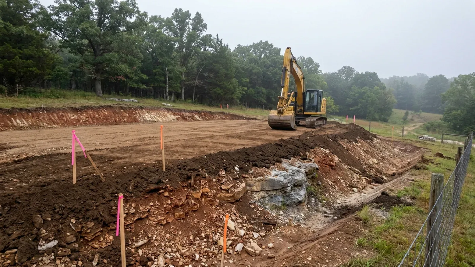
The expensive surprises are in the ground, not the building
What moves a Missouri budget is usually below grade, and which problem you have depends on where in the state you are. Across the Ozarks it is karst: the Department of Natural Resources maps more than sixteen thousand sinkhole points, and what matters there is what is under the slab rather than what the slab sits in. Across the north and centre it is claypan — dense, slow-draining subsoil that perches water above it for months of the year. In the Bootheel it is deep alluvium carrying the highest seismic demand in the state, where the same soils modelled for liquefaction attack post embedment and slab bearing rather than the frame above them. The same ground then decides the septic system, and Missouri does not run that on a percolation test alone: the rule allows a perc test or a soil morphology examination in a profile pit, and the authority reviewing your parcel picks which. Where a drainfield sits near a sinkhole's drainage, perc testing on its own is not permitted at all. Whether that authority is the state or your own county is itself a local question, and it changes what you have to file. So the site work, the foundation and the drainfield get resolved together rather than one at a time. We price the dirt before we price the building.
What we build in St. Francois County
All nine services are available in St. Francois County. What a build costs depends far more on the parcel than on square footage, so we price against your land rather than publishing a rate card.
Custom Plans
Barndominium floor plans drawn to your parcel and your soil, and to whichever Missouri authority — a county, a city, or none at all — will review them.
Barndominium Kits
Barndominium shell packages delivered to your Missouri land, drawn to the criteria your own county or city publishes — because the state publishes none.
Turnkey Builds
Start to finish barndominium construction in Missouri: the permits that genuinely apply, site work, shell and interior finish, under one contract.
What a build looks like
Three stages every St. Francois County project passes through, from a raw parcel to a finished home. Site work first, because that is where the budget is decided.
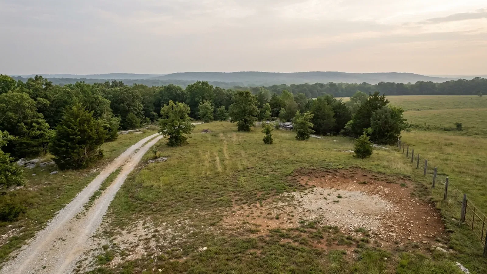
The parcel
Zoning, setbacks, flood zone and utility access get checked before anything is drawn.
Pad and permit
Clearing, grading and a compacted pad, while the submittal works through whichever office issues the permit where you are building.
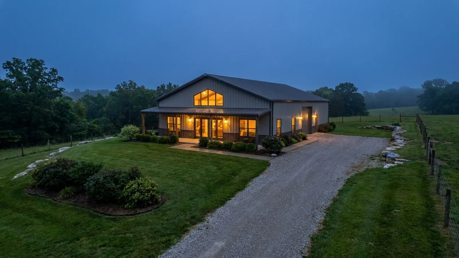
Frame to finish
Shell erected and dried in, then systems, insulation and interior finish through to CO.
Those are the rules where you are building in St. Francois County. Tell us what you want to build and we will draw it to them.
Where we build around St. Francois County
St. Francois County and the rural land around it. The buildable acreage for a project this size usually sits outside the city limits, which is frequently what changes who issues your permit.
Keep reading
The questions that usually come next once you know what St. Francois County allows.
Barndominium Cost Guide
Sourced per-square-foot ranges by tier and by size, with a calculator built on the same figures.
Read itIs It Legal in Missouri?
Classification, zoning, the HOA gate, and why "nonresidential farm building" does not cover a home.
Read itHow Long Does It Take?
Census build-duration data, and what actually sets the permit clock where you are building.
Read itNearby areas we build in
Others we cover nearby, and they are not interchangeable. One may be a county with an adopted building code, another a county with no legal authority to have one, another a city that permits inside its own limits whichever county the land sits in. So the office that issues the permit, whether anyone inspects the work at all, the fees, the zoning and the design figures can differ from one card to the next — sometimes across a single property line.
Building in St. Francois County: common questions
9 questions we get asked most often about building in St. Francois County. If yours is not on the list, ask it directly.
Do I need a building permit to build a barndominium on land outside a city in St. Francois County?
Will anyone inspect the building?
Is the lead contamination going to stop me building here?
How deep do my footings have to go?
Can I build the shop first and live in it while I build the house?
Are metal walls and a metal roof allowed here?
What about septic — is my parcel exempt if it's over three acres?
Which code edition will my build be designed to?
Is this earthquake country?
Building in St. Francois County?
Start with the plan. Tell us what you want to build and we will draw it, then confirm which office issues the permit for your parcel, what it will let you put there, and what wind load it has to meet. That conversation costs nothing.